2000s (21st Century) Maps of Hawaiʻi County, Hawaii
Explore 243 historic maps of Hawaiʻi County from the 2000s (21st Century). These maps offer a rare glimpse into what life looked like during the 2000s — showing old roads, neighborhoods, homes, and landmarks that have changed or disappeared over time.
Whether you're researching your family's past, planning a metal detecting trip, or studying how Hawaiʻi County's landscape evolved across the 2000s, these high-resolution maps are a powerful tool for exploring the history of this region.
- Focus on a specific era: All maps on this page are from the 2000s, giving you a focused view of this time period.
- See what’s changed: Compare century-old streets, trails, and buildings to today's modern landscape using overlays and satellite layers.
- Research with precision: Use these maps for genealogy, historical research, land use analysis, or educational projects.
- View, download, or print: Maps are fully viewable online in high resolution, and can be downloaded or printed for your own records.
Start exploring Hawaiʻi County's history through authentic maps from the 2000s. This is your window into the past.
Hawaiʻi County, HI maps
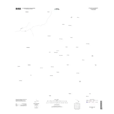
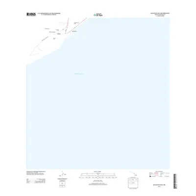
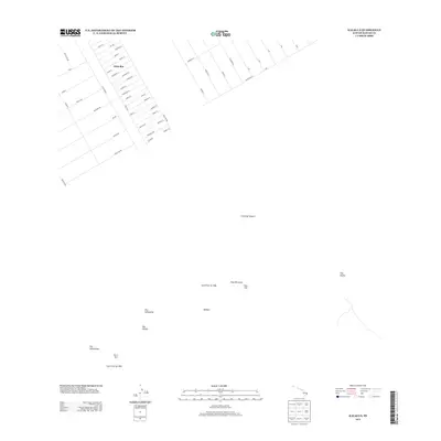
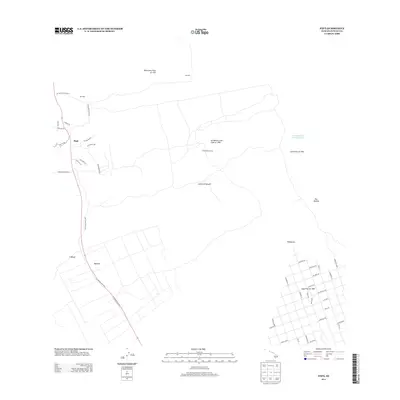
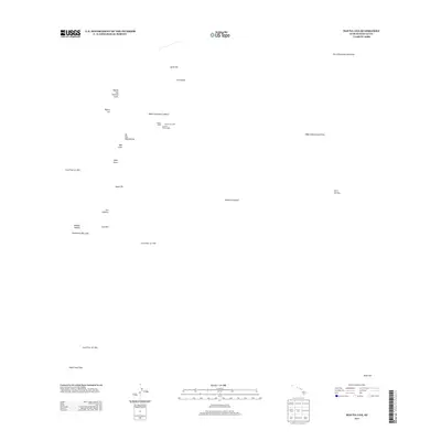
(243)- 2013 Map of Kalapana, 2013 Print
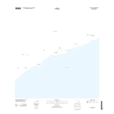 2013 Kalapana2013 Print · USGSCovers Hawaiʻi County, including United States, Hawaii, and other nearby areas
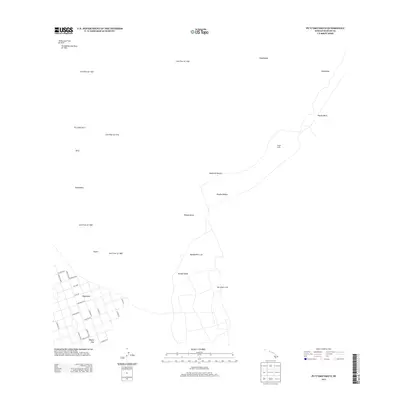
 - 2013 Map of Puulehua, 2013 Print
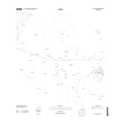
 2013 Puulehua2013 Print · USGSCovers Hawaiʻi County, including Monohaa, Honalo, and other nearby areas
 - 2013 Map of Kalapana OE E, 2013 Print
 2013 Kalapana OE E2013 Print · USGSCovers Hawaiʻi County, including United States, Hawaii, and other nearby areas
 - 2013 Map of Kalalua, 2013 Print
 2013 Kalalua2013 Print · USGSCovers Hawaiʻi County, including Fern Forest, Eden Roc, and other nearby areas
 - 2013 Map of Kaunene, 2013 Print
 2013 Kaunene2013 Print · USGSCovers Hawaiʻi County, including Kaunēnē, Honaunau-Napoopoo, and other nearby areas
 - 2013 Map of Mahukona OE N, 2013 Print
 2013 Mahukona OE N2013 Print · USGSCovers Hawaiʻi County, including United States, Hawaii, and other nearby areas
 - 2013 Map of Kau Desert, 2013 Print
 2013 Kau Desert2013 Print · USGSCovers Hawaiʻi County, including United States, Hawaii, and other nearby areas
 - 2013 Map of Volcano, 2013 Print
 2013 Volcano2013 Print · USGSCovers Hawaiʻi County, including Fern Forest, Mountain View, and other nearby areas
 - 2013 Map of Papa, 2013 Print
 2013 Papa2013 Print · USGSCovers Hawaiʻi County, including Hawaiian Ocean View, Pāpā, and other nearby areas
 - 2013 Map of Kahuku Ranch, 2013 Print
 2013 Kahuku Ranch2013 Print · USGSCovers Hawaiʻi County, including Kama'oa Homesteads, Hawaiian Ocean View, and other nearby areas
 - 2013 Map of Kalae OE E, 2013 Print
 2013 Kalae OE E2013 Print · USGSCovers Hawaiʻi County, including United States, Hawaii, and other nearby areas
 - 2013 Map of Kokoolau, 2013 Print
 2013 Kokoolau2013 Print · USGSCovers Hawaiʻi County, including United States, Hawaii, and other nearby areas
 - 2013 Map of Mauna Loa, 2013 Print
 2013 Mauna Loa2013 Print · USGSCovers Hawaiʻi County, including United States, Hawaii, and other nearby areas
 - 2013 Map of Puuokeokeo, 2013 Print
 2013 Puuokeokeo2013 Print · USGSCovers Hawaiʻi County, including Hawaiian Ocean View, United States, and other nearby areas
 - 2013 Map of Mahukona, 2013 Print
 2013 Mahukona2013 Print · USGSCovers Hawaiʻi County, including United States, Hawaii, and other nearby areas
 - 2013 Map of Papaikou, 2013 Print
 2013 Papaikou2013 Print · USGSCovers Hawaiʻi County, including Pepeekeo, Honomu, and other nearby areas
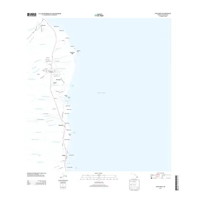
 - 2013 Map of Naalehu, 2013 Print
 2013 Naalehu2013 Print · USGSCovers Hawaiʻi County, including Naalehu, Naalehu, and other nearby areas
 - 2013 Map of Keawanui Bay, 2013 Print
 2013 Keawanui Bay2013 Print · USGSCovers Hawaiʻi County, including United States, Hawaii, and other nearby areas
 - 2013 Map of Kiholo, 2013 Print
 2013 Kiholo2013 Print · USGSCovers Hawaiʻi County, including Kīholo, United States, and other nearby areas
 - 2013 Map of Puumakaala, 2013 Print
 2013 Puumakaala2013 Print · USGSCovers Hawaiʻi County, including Hilo, Fern Forest, and other nearby areas
 - 2013 Map of Punaluu, 2013 Print
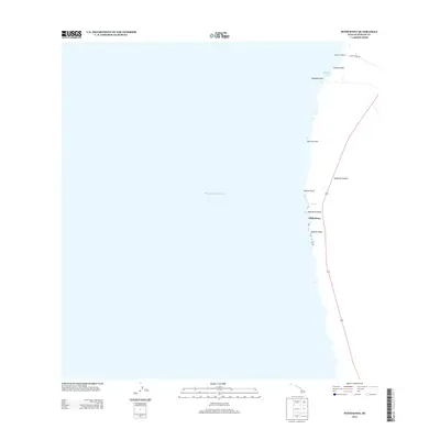
 2013 Punaluu2013 Print · USGSCovers Hawaiʻi County, including United States, Hawaii, and other nearby areas
 - 2013 Map of Manuka Bay, 2013 Print
 2013 Manuka Bay2013 Print · USGSCovers Hawaiʻi County, including United States, Hawaii, and other nearby areas
 - 2013 Map of Puuoo, 2013 Print
 2013 Puuoo2013 Print · USGSCovers Hawaiʻi County, including United States, Hawaii, and other nearby areas
 - 2013 Map of Puuulaula, 2013 Print
 2013 Puuulaula2013 Print · USGSCovers Hawaiʻi County, including United States, Hawaii, and other nearby areas
 - 2013 Map of Sulphur Cone, 2013 Print
 2013 Sulphur Cone2013 Print · USGSCovers Hawaiʻi County, including United States, Hawaii, and other nearby areas
Showing maps 1-25 of 243
Top cities of Hawaiʻi County
Frequently asked questions
- What are the different types of historical maps available for Hawaiʻi County?
- What is the oldest map of Hawaiʻi County?
- Where can I purchase historical maps of Hawaiʻi County for my home or office?
- Where can I download high-res historical maps of Hawaiʻi County?
- Are there historical topographic maps available for Hawaiʻi County?
- Is there historical aerial imagery available for Hawaiʻi County?
- Where are historical maps of Hawaiʻi County sourced from?