Old Maps of Hawaiian Ocean View, Hawaii for Metal Detecting
Plan your next treasure hunt with 32 historic maps of Hawaiian Ocean View. Find old homesites, ghost towns, trails, and gathering spots that may be lost to time — perfect for identifying promising metal detecting locations.
- Locate forgotten sites: Uncover places like long-lost settlements, abandoned rail lines, or gathering spots.
- Plan better hunts: Use map overlays combined with LiDAR or satellite views to narrow in on historically rich areas.
- Made for detectorists: Thousands of hobbyists use these maps to discover relics, coins, and hidden history.
Use these historic maps to boost your research and find new opportunities beneath the surface of Hawaiian Ocean View.
Hawaiian Ocean View, HI maps
(32)- 1924 Map of Honuapo
 1924 Honuapo1924 Print · USGSThe southern coast of the Big Island during the plantation era is captured here, showing a landscape shaped by recent volcanism. Trace old homesteads and labor quarters like Waiohinu, Naalehu, and the remote Wright Camp alongside the massive Lava Flow of 1916.3 unique versions available
 - 1928 Map of Hoopuloa, 1933 Print
 1928 Hoopuloa1933 Print · USGSThe southwest Hawaii coastline in the mid-1920s shows a landscape transformed by volcanic activity and early land settlement. Researchers can trace the paths of recent lava flows and locate specific cultural sites like Milolii, Ohin Mill, and the Alika Homesteads.
 - 1954 Map of Hawaii South
 1954 Hawaii South1954 Print · USGSThe southern reaches of the Big Island in the mid-fifties show a landscape of volcanic peaks, coastal villages, and upland timber mills. Researchers can trace the old island infrastructure through sites like Koa Mill, Hoopuloa, and the remote Mountain House.
 - 1959 Map of Hawaii South
 1959 Hawaii South1959 Print · USGSThe southern half of the Big Island appears here in the late fifties, dominated by the active volcanic peaks and extensive forest reserves. Researchers can trace the mid-century footprints of Pahala, Waiohinu, and the agricultural grounds of Gaspard Dairy.
 - 1961 Map of Hawaii South
 1961 Hawaii South1961 Print · USGSThe southern region of the Big Island appears here in the early sixties, illustrating a landscape of volcanic craters and remote agricultural outposts. Genealogists and historians can trace the locations of Wood Valley Camp, the Koa Mill, and the ruins at Kahio.
 - 1962 Map of Hawaii South
 1962 Hawaii South1962 Print · USGSThe southern half of Hawaii Island in the early sixties showcases a landscape defined by volcanic rifts and coastal settlements. Researchers can trace the Hawaii Consolidated rail line, find the Kuee (Ruined) site, and locate remote camps like Hooper Camp.2 unique versions available
 - 1962 Map of Kahuku Ranch, 1964 Print
 1962 Kahuku Ranch1964 Print · USGSThe volcanic Kau District is captured here in the early sixties, showing the intersection of massive historical lava flows and ranching life. Trace the boundaries of the Kiolakaa-Keaa Homesteads or locate the Heiau o Malino and Naohulehua Cave.2 unique versions available
 - 1962 Map of Pohue Bay, 1964 Print
 1962 Pohue Bay1964 Print · USGSCoastal Hawaii in the early sixties showcases a landscape shaped by volcanic activity and nascent development. Researchers can trace historic paths like the Petroglyphs Trail or locate remote landmarks including the Manuka Mauka House and Pohue Bay.3 unique versions available
 - 1962 Map of Papa, 1964 Print
 1962 Papa1964 Print · USGSThe South Kona coast in the early sixties reveals a landscape shaped by recent volcanic eruptions and timber milling. Researchers can trace the paths of several major eruptions through the South Kona Forest Reserve or locate local landmarks like the Koa Mill and Hoopuloa Church.2 unique versions available
 - 1967 Map of Puu O Keokeo, 1968 Print
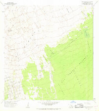 1967 Puu O Keokeo1968 Print · USGSThe volcanic slopes of southern Hawaii are captured here in the late sixties as new residential grids begin to creep across historical lava fields. Researchers can trace the intersection of modern roads like Ocean View Drive with older landmarks such as Halepohaha (Ruins) and Wright Camp.
 - 1975 Map of Hawaii, 1977 Print
 1975 Hawaii1977 Print · USGSThe Big Island in the mid-seventies is captured here as a landscape of volcanic giants and coastal sugar communities. Genealogists and historians can locate former plantation sites like Pepeekeo Mill or trace the routes of the Mamalahoa Highway through Kamuela.
 - 1980 Map of Hawaii County Sheet 3, 1984 Print
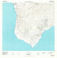 1980 Hawaii County Sheet 31984 Print · USGSThe Big Island's South Kona and Kau districts are captured here in the early 1980s, from the historic coffee lands to the southern tip. Researchers can trace the layout of coastal villages and sugar-era settlements like Milolii, Pahala, and the City of Refuge Nat Historical Pk.
 - 1981 Map of Kahuku Ranch
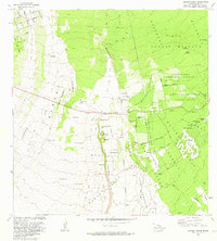 1981 Kahuku Ranch1981 Print · USGSKa'u's volcanic landscape is captured here in the early eighties, showcasing the intersection of active geology and ranching life. Researchers can find old agricultural sites at Kahuku Ranch and trace sacred locations like Heiau o Malino.
 - 1981 Map of Papa
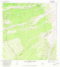 1981 Papa1981 Print · USGSSouth Kona in the early eighties reveals a landscape defined by volcanic history and upland forestry. Genealogists can trace family lands at Papa Homesteads or locate cultural markers like the Hoopuloa Church Monument and old industrial sites like Ohia Mill.
 - 1981 Map of Puu O Keokeo
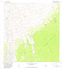 1981 Puu O Keokeo1981 Print · USGSThe slopes of Mauna Loa's rift zone are mapped in detail during the early eighties, showing a landscape defined by volcanic history. Trace the paths of the Kahuku Lava Flow of 1926 and locate sites like Wright Camp (Site) or the Halepohaha (Ruins).
 - 1981 Map of Pohue Bay
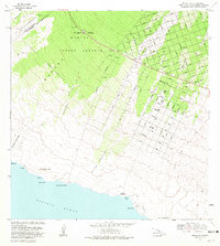 1981 Pohue Bay1981 Print · USGSThe South Kona and Kau Districts transition from forest reserves to coastal lava flows in the early eighties. Genealogists and historians can trace residential growth along Aloha Blvd or locate ancient Petroglyphs near the shores of Pohue Bay.2 unique versions available
 - 1995 Map of Papa, 2000 Print
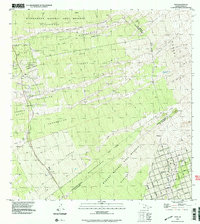 1995 Papa2000 Print · USGSSouth Kona at the end of the millennium reveals a landscape shaped by volcanic history and modern development. Trace the intersection of the Alika Lava Flow of 1919 with historic sites like the Koa Mill and the Ho'opuloa Church & Monument.
 - 1995 Map of Pohue Bay, 2000 Print
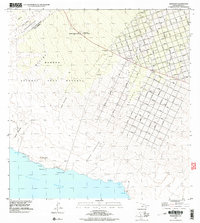 1995 Pohue Bay2000 Print · USGSThe southern coast of the Big Island in the mid-1990s reveals a unique intersection of massive volcanic flows and modern residential development. Researchers can trace the geometric grid of Ocean View alongside the Manuka Mauka House (Site) and Pohue Bay.
 - 1995 Map of Puu O Keokeo, 2000 Print
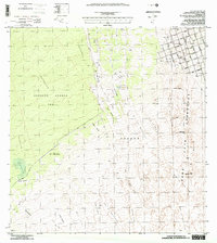 1995 Puu O Keokeo2000 Print · USGSThe Southwest Rift Zone of Hawaii appears here in the mid-nineties as a landscape defined by historic eruptions and modern growth. Researchers can trace the massive Lava Flow of 1950 and locate the former Wright Camp near the Kahuku Forest Reserve.
 - 1995 Map of Kahuku Ranch, 2000 Print
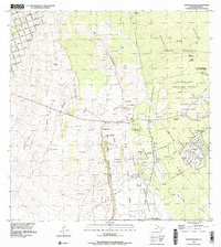 1995 Kahuku Ranch2000 Print · USGSThe ranching and volcanic landscapes of Hawaii's Ka'u District are captured here during the mid-nineties. Researchers can trace land allotments in the Kiolaka'a - Kea'a Homesteads and locate landmarks like the Kahuku Ranch or the local Cemetery.
 - 2013 Map of Papa, 2013 Print
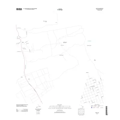 2013 Papa2013 Print · USGSThe South Kona coast is captured here in the early twenty-first century, showing a landscape defined by historic volcanic eruptions. Researchers can trace the path of the 'Ālika Lava Flow and find small settlements like Pāpā and Honomalino Camp.
 - 2013 Map of Kahuku Ranch, 2013 Print
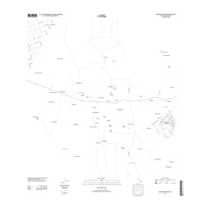 2013 Kahuku Ranch2013 Print · USGSThe southwestern slopes of Hawaii come alive in this modern survey, revealing a landscape defined by historic volcanic events. Researchers can trace the paths of the Lava Flow of 1868 and locate cultural landmarks like the Heiau o Malino.
 - 2013 Map of Puuokeokeo, 2013 Print
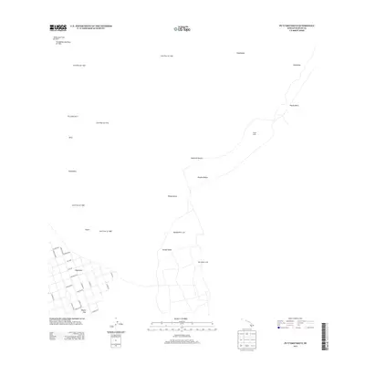 2013 Puuokeokeo2013 Print · USGSThe volcanic slopes of the Big Island are captured here in the early twenty-first century, showing the intersection of residential growth and active geology. Researchers can trace historical eruptions like the Ho‘ōpūloa Lava Flow of 1926 and locate remote landmarks such as Wright Camp.
 - 2013 Map of Pohue Bay, 2013 Print
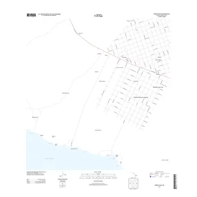 2013 Pohue Bay2013 Print · USGSCoastal Hawaiʻi in the early twenty-first century reveals a striking intersection of recent lava flows and modern residential expansion. Researchers can trace the massive Lava Flow of 1907 as it cuts through the street grids of Hawaiian Ocean View Ranchos and Kanakaloloa.
 - 2017 Map of Kahuku Ranch, 2017 Print
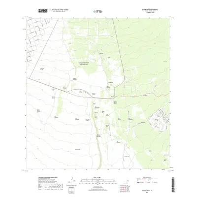 2017 Kahuku Ranch2017 Print · USGSThe volcanic southern slopes of Hawai'i are revealed in this modern survey, showing where historic lava flows intersect with ranching and residential life. Researchers can trace the paths of the Lava Flow of 1907 or locate landmarks like Kahuku Ranch and Kipuka Mamane.
Showing maps 1-25 of 32
Top cities near Hawaiian Ocean View
Top neighborhoods of Hawaiian Ocean View
- Country Garden Estates historical maps
- Hawaiian Ocean View historical maps
- Hawaiian Ocean View Estates historical maps
- Hawaiian Ranchos historical maps
- Kona South Estates historical maps
Frequently asked questions
- What are the different types of historical maps available for Hawaiian Ocean View?
- What is the oldest map of Hawaiian Ocean View?
- Where can I purchase historical maps of Hawaiian Ocean View for my home or office?
- Where can I download high-res historical maps of Hawaiian Ocean View?
- Are there historical topographic maps available for Hawaiian Ocean View?
- Is there historical aerial imagery available for Hawaiian Ocean View?
- Where are historical maps of Hawaiian Ocean View sourced from?