2000s (21st Century) Maps of Maui County, Hawaii
Explore 126 historic maps of Maui County from the 2000s (21st Century). These maps offer a rare glimpse into what life looked like during the 2000s — showing old roads, neighborhoods, homes, and landmarks that have changed or disappeared over time.
Whether you're researching your family's past, planning a metal detecting trip, or studying how Maui County's landscape evolved across the 2000s, these high-resolution maps are a powerful tool for exploring the history of this region.
- Focus on a specific era: All maps on this page are from the 2000s, giving you a focused view of this time period.
- See what’s changed: Compare century-old streets, trails, and buildings to today's modern landscape using overlays and satellite layers.
- Research with precision: Use these maps for genealogy, historical research, land use analysis, or educational projects.
- View, download, or print: Maps are fully viewable online in high resolution, and can be downloaded or printed for your own records.
Start exploring Maui County's history through authentic maps from the 2000s. This is your window into the past.
Maui County, HI maps
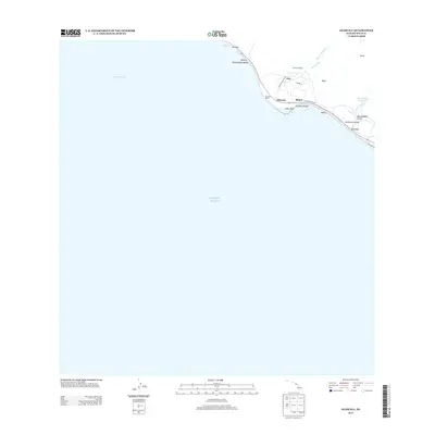
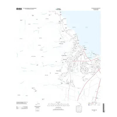
(126)- 2013 Map of Lualailua Hills, 2013 Print
 2013 Lualailua Hills2013 Print · USGSCovers Maui County, including United States, Hawaii, and other nearby areas
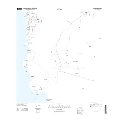
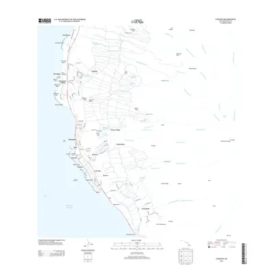
 - 2013 Map of Kahakuloa, 2013 Print
 2013 Kahakuloa2013 Print · USGSCovers Maui County, including Kahakuloa, United States, and other nearby areas
 - 2013 Map of Keanae, 2013 Print
 2013 Keanae2013 Print · USGSCovers Maui County, including Wailua, Keanae, and other nearby areas
 - 2013 Map of Kilohana, 2013 Print
 2013 Kilohana2013 Print · USGSCovers Maui County, including Waiakoa, Kula, and other nearby areas
 - 2013 Map of Kaupo, 2013 Print
 2013 Kaupo2013 Print · USGSCovers Maui County, including Kaupō, Pukaʻauhuhu, and other nearby areas
 - 2013 Map of Olowalu, 2013 Print
 2013 Olowalu2013 Print · USGSCovers Maui County, including Olowalu, United States, and other nearby areas
 - 2013 Map of Nahiku, 2013 Print
 2013 Nahiku2013 Print · USGSCovers Maui County, including Nāhiku, United States, and other nearby areas
 - 2013 Map of Makena, 2013 Print
 2013 Makena2013 Print · USGSCovers Maui County, including Wailea, Kanahena, and other nearby areas
 - 2013 Map of Hana, 2013 Print
 2013 Hana2013 Print · USGSCovers Maui County, including Upper Nahiku, Hamoa, and other nearby areas
 - 2013 Map of Kipahulu, 2013 Print
 2013 Kipahulu2013 Print · USGSCovers Maui County, including Koali, Hā‘ō‘ū, and other nearby areas
 - 2013 Map of Paia, 2013 Print
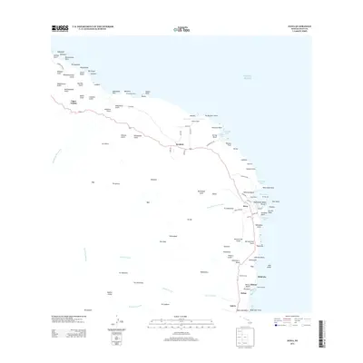
 2013 Paia2013 Print · USGSCovers Maui County, including Kahului, Pukalani, and other nearby areas
 - 2013 Map of Wailuku, 2013 Print
 2013 Wailuku2013 Print · USGSCovers Maui County, including Kahului, Wailuku, and other nearby areas
 - 2013 Map of Haiku, 2013 Print
 2013 Haiku2013 Print · USGSCovers Maui County, including Kaupakalua, Pauwela, and other nearby areas
 - 2013 Map of Maalaea, 2013 Print
 2013 Maalaea2013 Print · USGSCovers Maui County, including Maʻalaea, United States, and other nearby areas
 - 2013 Map of Napili, 2013 Print
 2013 Napili2013 Print · USGSCovers Maui County, including Kahana, Kapalua, and other nearby areas
 - 2013 Map of Lahaina, 2013 Print
 2013 Lahaina2013 Print · USGSCovers Maui County, including Lahaina, Honokowai, and other nearby areas
 - 2013 Map of Puu O Kali, 2013 Print
 2013 Puu O Kali2013 Print · USGSCovers Maui County, including Kaonoulu, Kihei, and other nearby areas
 - 2013 Map of Makena OE S, 2013 Print
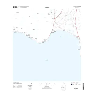
 2013 Makena OE S2013 Print · USGSCovers Maui County, including United States, Hawaii, and other nearby areas
 - 2013 Map of Lanai North OE E, 2013 Print
 2013 Lanai North OE E2013 Print · USGSCovers Maui County, including United States, Hawaii, and other nearby areas
 - 2013 Map of Lanai South OE E, 2013 Print
 2013 Lanai South OE E2013 Print · USGSCovers Maui County, including Halepalaoa Landing, Lōpā, and other nearby areas
 - 2013 Map of Kahoolawe OE NE, 2013 Print
 2013 Kahoolawe OE NE2013 Print · USGSCovers Maui County, including United States, Hawaii, and other nearby areas
 - 2013 Map of Ilio Point OE N, 2013 Print
 2013 Ilio Point OE N2013 Print · USGSCovers Maui County, including United States, Hawaii, and other nearby areas
 - 2013 Map of Kamalo, 2013 Print
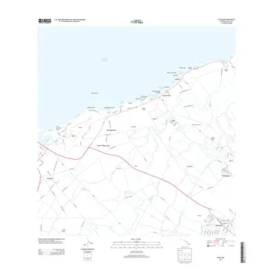
 2013 Kamalo2013 Print · USGSCovers Maui County, including Kalawao, Kalawao County, and other nearby areas
 - 2013 Map of Ilio Point OE S, 2013 Print
 2013 Ilio Point OE S2013 Print · USGSCovers Maui County, including United States, Hawaii, and other nearby areas
 - 2013 Map of Kahoolawe OE W, 2013 Print
 2013 Kahoolawe OE W2013 Print · USGSCovers Maui County, including United States, Hawaii, and other nearby areas
Showing maps 1-25 of 126
Top cities of Maui County
- Kahului historical maps
- Wailuku historical maps
- Lahaina historical maps
- Pukalani historical maps
- Kaunakakai historical maps
- Lanai City historical maps
See more
Frequently asked questions
- What are the different types of historical maps available for Maui County?
- What is the oldest map of Maui County?
- Where can I purchase historical maps of Maui County for my home or office?
- Where can I download high-res historical maps of Maui County?
- Are there historical topographic maps available for Maui County?
- Is there historical aerial imagery available for Maui County?
- Where are historical maps of Maui County sourced from?