2010s Maps of Maui County, Hawaii
Explore 84 historic maps of Maui County from the 2010s. These maps offer a rare glimpse into what life looked like during the 2010s — showing old roads, neighborhoods, homes, and landmarks that have changed or disappeared over time.
Whether you're researching your family's past, planning a metal detecting trip, or studying how Maui County's landscape evolved across the 2010s, these high-resolution maps are a powerful tool for exploring the history of this region.
- Focus on a specific era: All maps on this page are from the 2010s, giving you a focused view of this time period.
- See what’s changed: Compare century-old streets, trails, and buildings to today's modern landscape using overlays and satellite layers.
- Research with precision: Use these maps for genealogy, historical research, land use analysis, or educational projects.
- View, download, or print: Maps are fully viewable online in high resolution, and can be downloaded or printed for your own records.
Start exploring Maui County's history through authentic maps from the 2010s. This is your window into the past.
Maui County, HI maps
(84)- 2013 Map of Lualailua Hills, 2013 Print
 2013 Lualailua Hills2013 Print · USGSCoastal Maui's southern slopes meet the sea in this early 21st-century record of the volcanic landscape. Researchers can trace the descent from the Haleakalā Crater down to historic coastal points like Nakaohu Point and Wekea Point.
 - 2013 Map of Kahakuloa, 2013 Print
 2013 Kahakuloa2013 Print · USGSThe coastal village of Kahakuloa and the rugged northern cliffs of Maui are documented here during the early twenty-first century. Researchers can trace the narrow Kahekili Hwy past landmarks like Kahakuloa Head and the offshore Mōke'ehia Island.
 - 2013 Map of Keanae, 2013 Print
 2013 Keanae2013 Print · USGSThe windward Maui coast around the Ke'anae Peninsula and Wailua is captured here during the early twenty-first century. Researchers can trace the path of historic water infrastructure like the Manuel Luis Ditch or locate the Old Ke'anae Landing.
 - 2013 Map of Kilohana, 2013 Print
 2013 Kilohana2013 Print · USGSUpper elevation Maui comes into focus in this modern survey of the slopes leading to the great crater. Genealogists and historians can trace local infrastructure through the Kula Pipeline or locate sites like 'Ukulele Camp and Waiakoa.
 - 2013 Map of Kaupo, 2013 Print
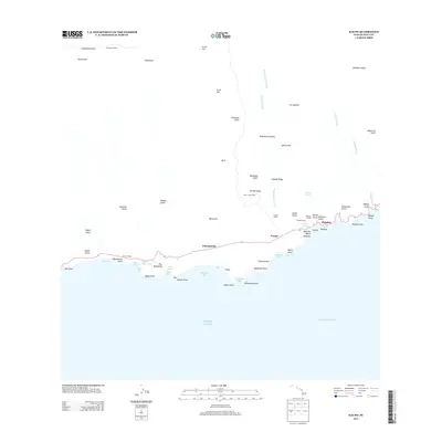 2013 Kaupo2013 Print · USGSThe southern coast of Maui in the early twenty-first century remains a place of deep cultural heritage and dramatic volcanic terrain. Genealogists and historians can locate ancient sites like Loaloa Heiau and Popoiwi Heiau, or trace the old coastal landings at Nu'u and Mokulau Landing.
 - 2013 Map of Olowalu, 2013 Print
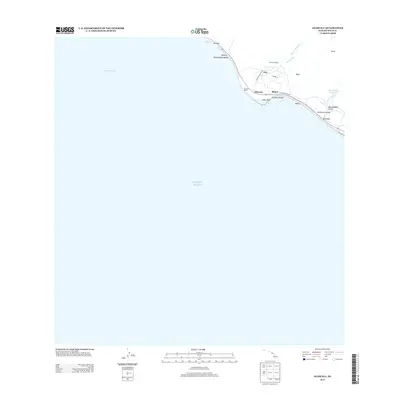 2013 Olowalu2013 Print · USGSThe West Maui coast in the early twenty-first century reveals a landscape where ancient cultural sites and modern infrastructure meet the sea. You can trace the coastal corridor from Olowalu to Punahoa, locating Kaiwaloa Heiau and the historic Olowalu Wharf.
 - 2013 Map of Nahiku, 2013 Print
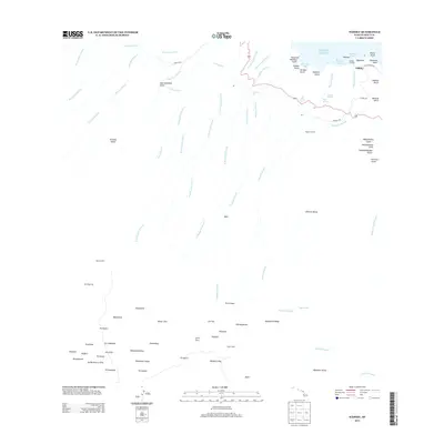 2013 Nahiku2013 Print · USGSCoastal Maui in the early twenty-first century is defined here by the steep gulches and water engineering of the windward slopes. Genealogists and researchers can locate Nāhiku and Nāhiku Landing alongside remote mountain shelters like Palikū Cabin.
 - 2013 Map of Makena, 2013 Print
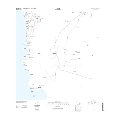 2013 Makena2013 Print · USGSThe South Maui coastline and upcountry slopes are captured in detail during the early twenty-first century. Researchers can trace the development of Wailea or locate remote landmarks like Kanaio Church, Hanamanioa Light, and the Kanaio Prison Camp.
 - 2013 Map of Hana, 2013 Print
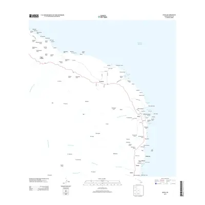 2013 Hana2013 Print · USGSCoastal East Maui comes into focus during the early twenty-first century, showing the remote settlements and rugged coastline of the Hāna district. Researchers can locate the Pi'ilanihale Heiau, trace the Hāna Wharf, and identify family landmarks at Mokae Landing.
 - 2013 Map of Kipahulu, 2013 Print
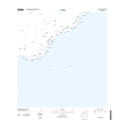 2013 Kipahulu2013 Print · USGSThe southeast coast of Maui is shown here in the early twenty-first century, featuring the remote settlements and rich water systems of the region. Researchers can locate ancient cultural sites like Kanekaula Heiau or trace the drainage of Wailua Falls and Seven Pools into the sea.
 - 2013 Map of Paia, 2013 Print
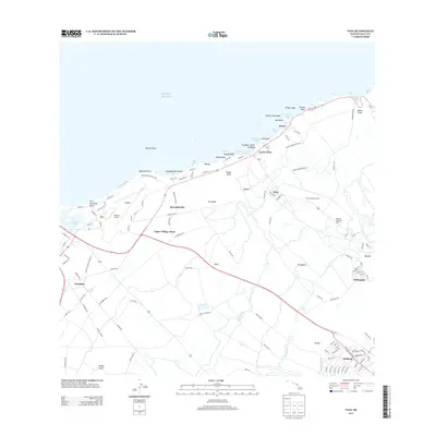 2013 Paia2013 Print · USGSThe North Shore of Maui in the early 2010s reveals a landscape defined by its agricultural roots and coastal community life. Researchers can trace the layout of historic settlements like Spreckelsville or locate landmarks like the Baldwin Memorial Home and Kanaha Pond.
 - 2013 Map of Wailuku, 2013 Print
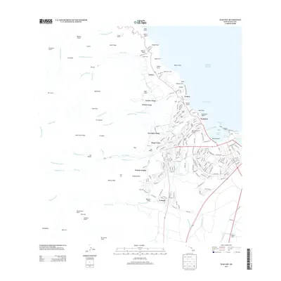 2013 Wailuku2013 Print · USGSThe central valley of Maui comes alive in this early twenty-first century survey of the Wailuku region. Researchers can trace historical sites like Haleikii Helau alongside modern landmarks like Wailuku Heights and the industrial Kahului Harbor.
 - 2013 Map of Haiku, 2013 Print
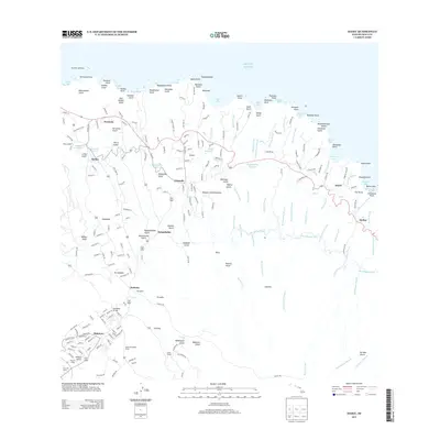 2013 Haiku2013 Print · USGSThe northern coast of Maui comes into focus in this modern survey, showing a landscape shaped by deep gulches and coastal points. Researchers can trace the water-management infrastructure of the New Hāmākua Ditch or locate historic sites like Filipino Camp and the Pauwela Lighthouse.
 - 2013 Map of Maalaea, 2013 Print
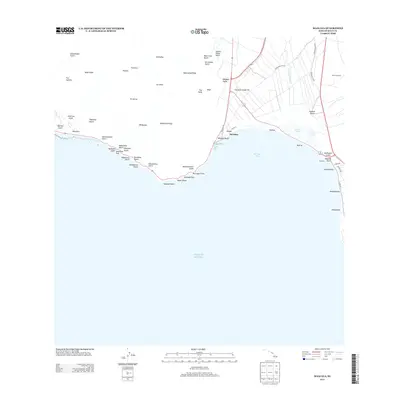 2013 Maalaea2013 Print · USGSCoastal Maui in the early twenty-first century reveals a landscape where steep volcanic ridges meet the sea at Ma'alaea Bay. Researchers can trace the development of the shoreline near Ma'alaea and Kealia Pond, or locate inland features like the Maui Drag Strip.
 - 2013 Map of Napili, 2013 Print
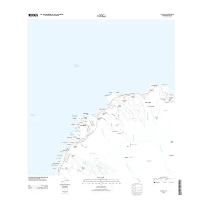 2013 Napili2013 Print · USGSThe northwestern coast of Maui is shown here in the early twenty-first century, balancing modern development with deep cultural roots. Researchers can locate the Heakalani Heiau, trace the Honokōhau Stream, and find landmarks like the Honokōhau Tunnel.
 - 2013 Map of Lahaina, 2013 Print
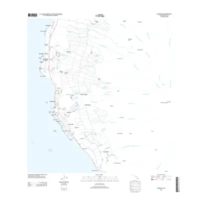 2013 Lahaina2013 Print · USGSWest Maui’s coastline and upland ridges are shown in high detail during a period of modern growth and preserved heritage. Researchers can trace local neighborhoods and water infrastructure from Mala Wharf to inland sites like Crater Village and Lunaville.
 - 2013 Map of Puu O Kali, 2013 Print
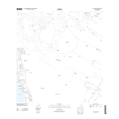 2013 Puu O Kali2013 Print · USGSCoastal Maui and the Upcountry slopes are captured here in the early twenty-first century as modern residential hubs met historic agricultural land. Researchers can trace the layout of Pulehu Camp, find the shores of Charley Young Beach, and follow the deep cuts of Ka‘ono‘ulu Gulch.
 - 2013 Map of Makena OE S, 2013 Print
 2013 Makena OE S2013 Print · USGSCoastal Maui at the start of the 2010s reveals a maritime landscape dominated by the Alalākeiki Channel. Researchers can trace the shoreline geography through local landmarks like Kanaio Beach, Waiakapuhi, and Pohakueaea Point.
 - 2013 Map of Lanai North OE E, 2013 Print
 2013 Lanai North OE E2013 Print · USGSThe maritime passage of the ‘Au‘au Channel is documented here as it appeared in the early twenty-first century. Researchers can locate coastal landmarks such as Halepalaoa Landing, the settlement at Waiopae, and the distant Kaanapali Landing.
 - 2013 Map of Lanai South OE E, 2013 Print
 2013 Lanai South OE E2013 Print · USGSThe eastern coast of Lāna‘i in the early twenty-first century reveals a quiet shoreline dominated by natural gulches and small landings. Researchers can trace the coastal topography from Halepalaoa Beach down to the settlements at Lopa and Naha.
 - 2013 Map of Kahoolawe OE NE, 2013 Print
 2013 Kahoolawe OE NE2013 Print · USGSThe northeast coast of Kaho'olawe and the islet of Molokini appear here as they were documented in the early twenty-first century. Cultural researchers and historians can locate the Hale 'O Papa Heiau and trace the drainage of Big Gulch to the sea.
 - 2013 Map of Ilio Point OE N, 2013 Print
 2013 Ilio Point OE N2013 Print · USGSThe northwestern coast of Moloka‘i is documented here in the early twenty-first century, showing the remote shoreline where the land meets the Pacific Ocean. Researchers can trace the coastal geography from ‘Īlio Point east to Mokio Point and the drainage of Kawākiu Gulch.
 - 2013 Map of Kamalo, 2013 Print
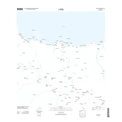 2013 Kamalo2013 Print · USGSThe northern coastline of Molokai in the early twenty-first century is a landscape of profound isolation and natural verticality. Researchers can trace the layout of Kalawao, find the USGS Camp, and locate numerous falls such as Hina Falls and Kamalō Falls.
 - 2013 Map of Ilio Point OE S, 2013 Print
 2013 Ilio Point OE S2013 Print · USGSCoastal Maui County is seen from a maritime perspective in the early 2010s. This survey focuses on the open waters of the Pacific Ocean just offshore from the northwestern reaches of Molokai.
 - 2013 Map of Kahoolawe OE W, 2013 Print
 2013 Kahoolawe OE W2013 Print · USGSThe western shoreline of Kahoʻolawe in the early twenty-first century is defined by its interface with the open sea. Map readers can locate the specific coastal point of Lae 'O Kealaikahiki as it reaches into the Pacific Ocean.
Showing maps 1-25 of 84
Top cities of Maui County
- Kahului historical maps
- Wailuku historical maps
- Lahaina historical maps
- Pukalani historical maps
- Kaunakakai historical maps
- Lanai City historical maps
See more
Frequently asked questions
- What are the different types of historical maps available for Maui County?
- What is the oldest map of Maui County?
- Where can I purchase historical maps of Maui County for my home or office?
- Where can I download high-res historical maps of Maui County?
- Are there historical topographic maps available for Maui County?
- Is there historical aerial imagery available for Maui County?
- Where are historical maps of Maui County sourced from?