1960s Maps of Bonneville County, Idaho
Explore 24 historic maps of Bonneville County from the 1960s. These maps offer a rare glimpse into what life looked like during the 1960s — showing old roads, neighborhoods, homes, and landmarks that have changed or disappeared over time.
Whether you're researching your family's past, planning a metal detecting trip, or studying how Bonneville County's landscape evolved across the 1960s, these high-resolution maps are a powerful tool for exploring the history of this region.
- Focus on a specific era: All maps on this page are from the 1960s, giving you a focused view of this time period.
- See what’s changed: Compare century-old streets, trails, and buildings to today's modern landscape using overlays and satellite layers.
- Research with precision: Use these maps for genealogy, historical research, land use analysis, or educational projects.
- View, download, or print: Maps are fully viewable online in high resolution, and can be downloaded or printed for your own records.
Start exploring Bonneville County's history through authentic maps from the 1960s. This is your window into the past.
Bonneville County, ID maps
(24)- 1962 Map of Driggs
 1962 Driggs1962 Print · USGSThe Idaho-Wyoming borderlands are captured here in the early sixties, showing the peaks and valleys of the northern Rockies. Genealogists and historians can trace rail lines like the Union Pacific RR and isolated outposts like the National Elk Refuge or the Fort Hall Indian Reservation.
 - 1963 Map of Bone, 1977 Print
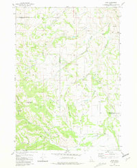 1963 Bone1977 Print · USGSBingham and Bonneville counties were defined by remote watersheds and high-mountain divides during the late 1970s and early 1980s. Researchers can trace the rugged network of 4 WD trails leading to Bone or locate local landmarks like High Bridge and Ziegler Mountain.
 - 1964 Map of Kettle Butte NE, 1965 Print
 1964 Kettle Butte NE1965 Print · USGSJefferson and Bonneville Counties meet in this high-desert Idaho survey from the mid-sixties, an era of expanding water infrastructure. Researchers can trace early ranching and water management through numerous sites like Well 4898 and the Kettle Butte Drain.2 unique versions available
 - 1964 Map of Kettle Butte NW, 1965 Print
 1964 Kettle Butte NW1965 Print · USGSSoutheastern Idaho's desert landscape was dominated by atomic research in the mid-1960s. Researchers can trace the sprawling boundaries of the National Reactor Testing Station across the line between Jefferson Co and Bonneville Co.2 unique versions available
 - 1964 Map of Kettle Butte SW, 1965 Print
 1964 Kettle Butte SW1965 Print · USGSEastern Idaho in the mid-1960s reveals a high-desert landscape being utilized for nuclear research and material extraction. Researchers can trace the boundaries of the National Reactor Testing Station and locate landmarks like Kettle Butte and Twentymile Rock.2 unique versions available
 - 1964 Map of Morgans Pasture NE, 1965 Print
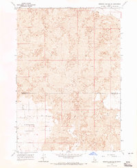 1964 Morgans Pasture NE1965 Print · USGSThe Snake River Plain in the early sixties reveals a landscape of volcanic fields and vital water sources at the county line. Researchers can trace the sparse network of a Jeep Trail and remote water points like Well 4815 and Well 4731 across Morgans Pasture.
 - 1964 Map of Butterfly Butte, 1965 Print
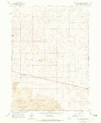 1964 Butterfly Butte1965 Print · USGSBonneville County’s volcanic landscape is captured in the mid-1960s, showing a high-desert terrain marked by distinct geological formations. Genealogists and researchers can trace the route toward Idaho Falls past Seventeenmile Cave, the central Butterfly Butte, and several remote wells.2 unique versions available
 - 1966 Map of Bear Island, 1968 Print
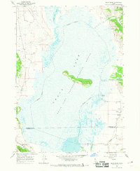 1966 Bear Island1968 Print · USGSThe Grays Lake marshlands are frozen in time during the mid-sixties, showcasing a landscape managed for conservation and rural life. Researchers can trace the Grays Lake National Wildlife Refuge boundaries, locating the Wayan Cem and the remote Grays Lake Guard Sta.
 - 1966 Map of Palisades Peak, 1969 Print
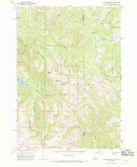 1966 Palisades Peak1969 Print · USGSThe Snake River Range was a roadless wilderness of deep canyons and high peaks in the late sixties. Researchers can trace the network of a Pack Trail through Mosquito Pass, past the Ice Cave, and along Palisades Creek.4 unique versions available
 - 1966 Map of Alpine, 1969 Print
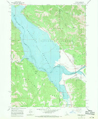 1966 Alpine1969 Print · USGSThe confluence of the Snake and Salt Rivers is captured here in the mid-1960s, just as the Palisades Reservoir shaped the modern landscape. Researchers can trace the early layout of Alpine, locate the Alpine Post Office, and find recreation sites like McCoy Creek Campground.4 unique versions available
 - 1966 Map of Big Elk Mtn, 1969 Print
 1966 Big Elk Mtn1969 Print · USGSBonneville County’s high country remains a wilderness of mining and forestry history in the mid-1960s. Genealogists and historians can locate the Keenan City (Site), trace the Miners Delight route, and explore the watershed of McCoy Creek.3 unique versions available
 - 1966 Map of Tincup Mtn, 1969 Print
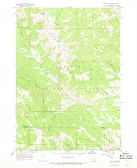 1966 Tincup Mtn1969 Print · USGSSoutheast Idaho's high wilderness is captured here in the mid-1960s, showing a landscape defined by seasonal trails and timber history. Researchers can locate the Squaw Creek Sawmill (Site) and trace old Pack Trails near Tincup Mtn and Old Baldy Peak.4 unique versions available
 - 1966 Map of Conant Valley, 1969 Print
 1966 Conant Valley1969 Print · USGSThe mid-Idaho wilderness near Swan Valley comes to life in the 1960s, showing the high-country trails and river life along the Snake River. Trace the old Garden Trail and Pritchard Trail past isolated prospects and the Snake River Ranger Station.
 - 1966 Map of Thompson Peak, 1969 Print
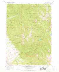 1966 Thompson Peak1969 Print · USGSTarghee National Forest in the mid-1960s reveals a high-country network of pack trails and backcountry campsites. Historians and outdoor enthusiasts can trace the paths to Upper Palisades Lake or locate landmarks like Hunts Corral and Thompson Peak.3 unique versions available
 - 1966 Map of Etna, 1969 Print
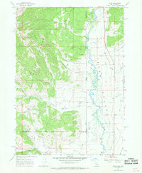 1966 Etna1969 Print · USGSThe high valley along the Wyoming-Idaho border comes into focus in the mid-1960s, showing the intersection of forest service land and agricultural development. Genealogists and historians can trace the settlement at Etna and locate remote landmarks like Tincup Campground and the Powerplant.2 unique versions available
 - 1966 Map of Herman, 1969 Print
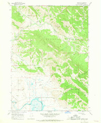 1966 Herman1969 Print · USGSBonneville County’s high valley floor and forested uplands are documented here during the mid-sixties. Researchers can trace the water levels of Grays Lake and locate rural landmarks like the Brockman Guard Station, Herman, and the Cinder Pit.2 unique versions available
 - 1966 Map of Commissary Ridge, 1969 Print
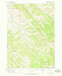 1966 Commissary Ridge1969 Print · USGSCaribou National Forest in the mid-1960s was a rugged expanse of high ridges and narrow creek drainages accessible only by a network of specialized trails. Trace historic backcountry routes like the Skyline Road and numerous pack trails winding past Commissary Ridge and Flag Knoll.2 unique versions available
 - 1966 Map of Wheaton Mountain, 1969 Print
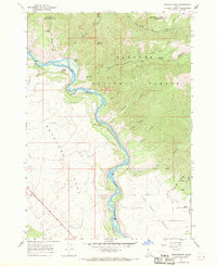 1966 Wheaton Mountain1969 Print · USGSThe high canyons and river bottoms of Bonneville County are captured here in the mid-sixties. Researchers can trace historical routes like the Pack Trails along Wheaton Mtn and locate named water sources such as Warm Springs and Lufkin Spring.3 unique versions available
 - 1966 Map of Red Ridge, 1969 Print
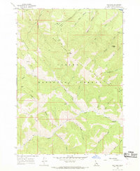 1966 Red Ridge1969 Print · USGSUpper Bonneville County was a network of high-elevation trails and forest outposts in the mid-1960s. Genealogists and outdoor historians can trace the paths of the Long Trail and Yeaman Trail past Camp Ta-Man-a-Wis and the Currant Creek Guard Station.3 unique versions available
 - 1966 Map of Palisades Dam, 1969 Print
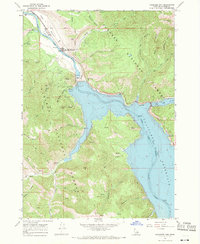 1966 Palisades Dam1969 Print · USGSThe Snake River valley underwent a massive transformation in the mid-1960s following the construction of the Palisades Dam. Researchers can trace the early layout of the Palisades Townsite and locate remote landmarks like the Calamity Guard Sta and Van Point.3 unique versions available
 - 1966 Map of Swan Valley, 1969 Print
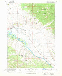 1966 Swan Valley1969 Print · USGSSwan Valley and Irwin sit along the river-carved plains of the Snake River in the late sixties, surrounded by national forest lands. Researchers can trace the layout of early rural life through features like the Swan Valley Cemetery, Chapel in the Valley, and the nearby Ranger Station.3 unique versions available
 - 1966 Map of Poker Peak, 1969 Print
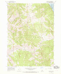 1966 Poker Peak1969 Print · USGSHigh in the Bonneville County backcountry during the 1960s, this area is defined by the intersection of forest service lands and the Snake River. Researchers can trace historical routes through Jensen Meadow or locate the Bald Mtn Guard Sta near the waters of McCoy Creek.2 unique versions available
 - 1966 Map of Caribou mtn, 1970 Print
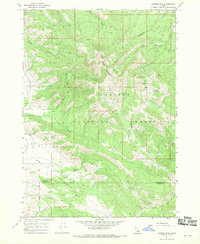 1966 Caribou mtn1970 Print · USGSThe high peaks and mining claims of Bonneville County are captured here in the mid-sixties, showing a landscape defined by forest and extraction. Researchers can locate the Caribou City (Site), trace the Pack Trail network, or find the Monte Cristo Mine.3 unique versions available
 - 1966 Map of Mount Baird, 1978 Print
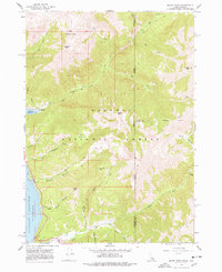 1966 Mount Baird1978 Print · USGSThe high Idaho-Wyoming borderlands are captured here in the mid-sixties before modern developments reached this wilderness corner. Researchers can trace historic access routes via Pack Trails and Jeep Trails leading to YMCA Camp and Quaker Flat.2 unique versions available
End of results
Showing maps 1-24 of 24
Top cities of Bonneville County
- Idaho Falls historical maps
- Ammon historical maps
- Iona historical maps
- Ucon historical maps
- Swan Valley historical maps
- Irwin historical maps
Frequently asked questions
- What are the different types of historical maps available for Bonneville County?
- What is the oldest map of Bonneville County?
- Where can I purchase historical maps of Bonneville County for my home or office?
- Where can I download high-res historical maps of Bonneville County?
- Are there historical topographic maps available for Bonneville County?
- Is there historical aerial imagery available for Bonneville County?
- Where are historical maps of Bonneville County sourced from?