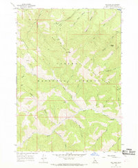
1966 Map of Red Ridge
USGS Topo · Published 1969About this map
Caribou National Forest dominates this mid-1960s survey, revealing a landscape defined by high ridges and a dense network of pack trails and watercourses. The presence of Camp Ta-Man-a-Wis and the Currant Creek Guard Station underscores the managed nature of this wilderness during the mid-century. Significant terrain features such as Red Ridge, Deadhorse Ridge, and Fourth of July Ridge structure the geography, separated by deep drainages like Bear Creek and Deadman Creek. Notable landmarks for navigation or local history include Congress Knob, the Radio Tower atop Red Peak, and the distinctive Golden Gate. The map illustrates a complex system of historical access routes, including the Yeaman Trail and Chaparral Trail, providing a clear view of the backcountry infrastructure before modern development.
Find a feature on this map
45 named features on this map. Tap any name to fly to it.
Don’t see what you’re looking for? This feature index may not catch every label — zoom into the map to look around manually.
Map Details
Editions of this 1966 Red Ridge Map
3 editions found
Other maps of this area

1932 · Irwin
USGS Topo · 1:96,000

1935 · Irwin
USGS Topo · 1:125,000

1955 · Driggs
USGS Topo · 1:250,000

1958 · Driggs
USGS Topo · 1:250,000

1962 · Driggs
USGS Topo · 1:250,000

1966 · Big Elk Mtn
USGS Topo · 1:24,000

1966 · Conant Valley
USGS Topo · 1:24,000
1966 · Thompson Peak
USGS Topo · 1:24,000
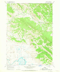
1966 · Herman
USGS Topo · 1:24,000
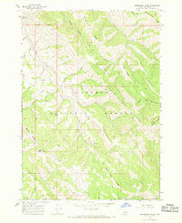
1966 · Commissary Ridge
USGS Topo · 1:24,000