2020s Maps of Canyon County, Idaho
Explore 47 historic maps of Canyon County from the 2020s. These maps offer a rare glimpse into what life looked like during the 2020s — showing old roads, neighborhoods, homes, and landmarks that have changed or disappeared over time.
Whether you're researching your family's past, planning a metal detecting trip, or studying how Canyon County's landscape evolved across the 2020s, these high-resolution maps are a powerful tool for exploring the history of this region.
- Focus on a specific era: All maps on this page are from the 2020s, giving you a focused view of this time period.
- See what’s changed: Compare century-old streets, trails, and buildings to today's modern landscape using overlays and satellite layers.
- Research with precision: Use these maps for genealogy, historical research, land use analysis, or educational projects.
- View, download, or print: Maps are fully viewable online in high resolution, and can be downloaded or printed for your own records.
Start exploring Canyon County's history through authentic maps from the 2020s. This is your window into the past.
Canyon County, ID maps
(47)- 2020 Map of Nyssa, 2020 Print
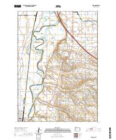 2020 Nyssa2020 Print · USGSThe Snake River valley at the Oregon-Idaho border shows a landscape defined by industrial-scale irrigation and riverine islands. Researchers can trace the layout of Fruitland and Nyssa while locating family-named features like McPhersons Island and Gamble Island.
 - 2020 Map of Adrian, 2020 Print
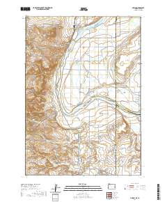 2020 Adrian2020 Print · USGSThe Oregon-Idaho border comes alive in this contemporary survey of the Snake River valley. Genealogists and local historians can trace the intricate irrigation network through Adrian and Arena Valley, while locating engineering landmarks like Tunnel Number 6.
 - 2020 Map of Owyhee, 2020 Print
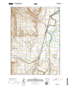 2020 Owyhee2020 Print · USGSThe Oregon-Idaho borderlands near Nyssa come to life in this detailed record of the Snake River valley. Researchers can trace family history at Owyhee Cem or explore the river's unique islands, including Goose Egg Island and Big Cottonwood Island.
 - 2020 Map of Lake Lowell, 2020 Print
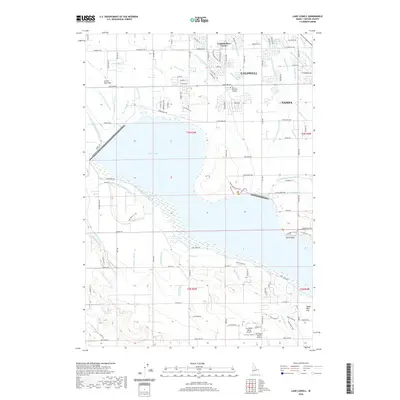 2020 Lake Lowell2020 Print · USGSCanyon County's agricultural heartland is defined by the massive Lake Lowell reservoir and its surrounding irrigation network in this recent survey. Researchers can trace family landmarks and local aviation history through Underkoflers Corner, Hillcrest Memorial Gardens, and the Sky Ranch North Airport.
 - 2020 Map of Meridian, 2020 Print
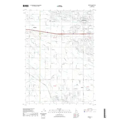 2020 Meridian2020 Print · USGSThe growing borderlands between Meridian and Nampa are captured here in the early 2020s as residential development spreads across historical agricultural tracts. Researchers can trace family ties at Meridian Cem or follow the intricate irrigation paths of the Ridenbaugh Canal and Tenmile Cr.
 - 2020 Map of Melba, 2020 Print
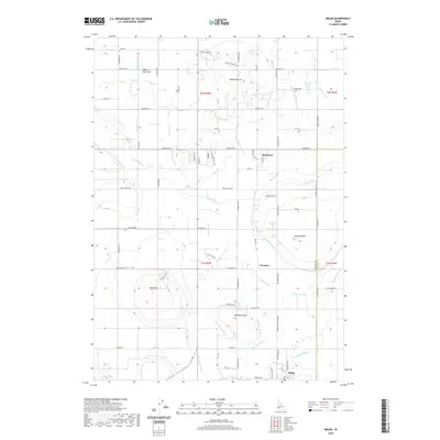 2020 Melba2020 Print · USGSNear the Canyon and Ada County line, this recent survey shows the irrigation-dependent landscape of the Snake River Valley. Trace the complex water networks of the Mora Canal and Waldvogel Canal that sustain rural centers like Melba and Bowmont.
 - 2020 Map of Marsing, 2020 Print
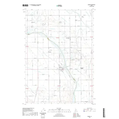 2020 Marsing2020 Print · USGSMarsing and the surrounding river valley are shown in detail at the start of the 2020s, revealing an agricultural landscape defined by the Snake River. Researchers can trace an extensive irrigation network from Lizard Butte to the Chalk Hills, alongside rural settlements like Claytonia and Knowlton Heights.
 - 2020 Map of Givens Hot Springs, 2020 Print
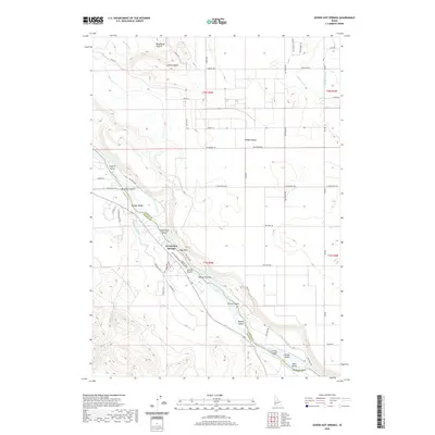 2020 Givens Hot Springs2020 Print · USGSThe Snake River valley south of Nampa is shown here in the contemporary era as a complex network of irrigation and riverfront settlements. Researchers can trace the paths of the Mora Canal and Opalene Ditch or locate landmarks like Givens Hot Springs and Map Rock.
 - 2020 Map of Walters Butte, 2020 Print
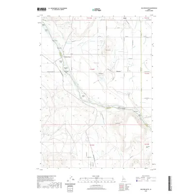 2020 Walters Butte2020 Print · USGSThe Snake River canyon near Melba reveals a rich landscape of river crossings and volcanic buttes in the modern era. Researchers can trace historic sites like Walters Ferry, the Guffey IslandGuffey Railroad Bridge, and numerous agricultural waterways such as Jinx Lateral.
 - 2020 Map of Wilder, 2020 Print
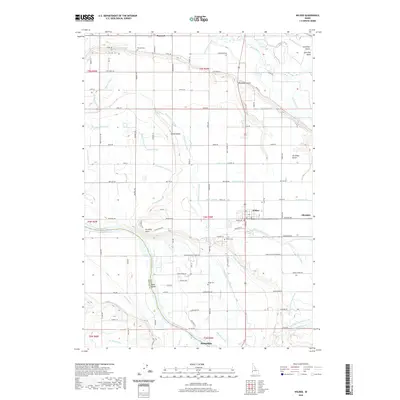 2020 Wilder2020 Print · USGSThe Snake River plains near the Idaho-Oregon border come alive in this survey of a vital agricultural corridor. Researchers can trace the extensive irrigation networks of the Golden Gate Canal and find local heritage sites like Roswell Cem and Wilder Cem.
 - 2020 Map of Southwest Emmett, 2020 Print
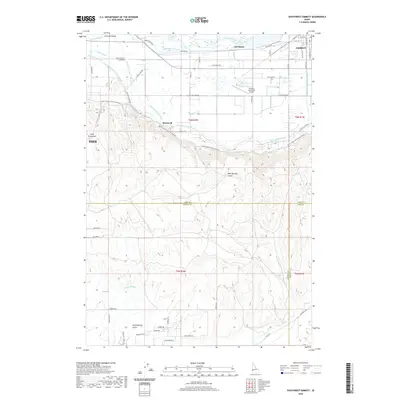 2020 Southwest Emmett2020 Print · USGSThe Emmett Valley region of Gem County is shown in detail during the modern era, where the Payette River supports a complex network of agricultural canals. Researchers can trace irrigation history through the Farmers Cooperative Canal and locate rural landmarks such as Bramwell and the Emmett Municipal Airport.
 - 2020 Map of Caldwell, 2020 Print
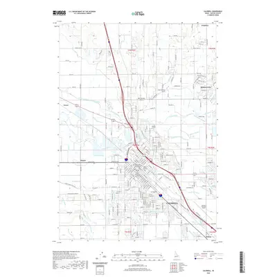 2020 Caldwell2020 Print · USGSCaldwell and the Boise River valley are captured in this recent survey, showcasing a landscape defined by historic irrigation and modern civic growth. Researchers can locate the Canyon Hill Cemetery, The College of Idaho, and the Phyllis Canal system.
 - 2020 Map of Kuna, 2020 Print
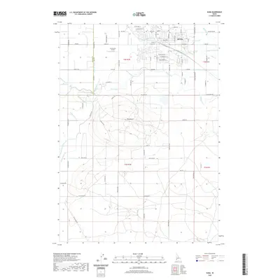 2020 Kuna2020 Print · USGSKuna and the surrounding Ada County plains are shown here in recent years, highlighting the intricate irrigation systems that sustain the Idaho desert. Genealogists and historians can trace the town core near the PO or locate family sites near Kuna Cem and the prominent Kuna Butte.
 - 2020 Map of Nampa, 2020 Print
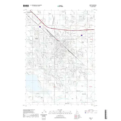 2020 Nampa2020 Print · USGSCanyon County's urban and agricultural landscape is revealed here in the modern era, showing the transition from city centers to managed waterways. Genealogists and historians can trace family-named hubs like Tiegs Corner and Kings Corner alongside the grounds of Mount Calvary Cem.
 - 2020 Map of Middleton, 2020 Print
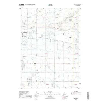 2020 Middleton2020 Print · USGSThe Boise River valley comes into focus during this period of growth between Middleton and Star. Researchers can trace the sophisticated irrigation network from the Caldwell High Line Canal to landmarks like McIntyre Hill and Maddens.
 - 2020 Map of Notus, 2020 Print
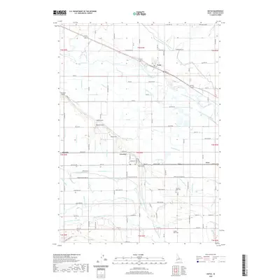 2020 Notus2020 Print · USGSCanyon County agriculture and irrigation networks are on full display in this modern survey of the area surrounding Notus and Greenleaf. Researchers can trace local landmarks like Pleasant Ridge Cem, the Hibbs Airport, and the dense network of the Riverside Canal.
 - 2020 Map of Opalene Gulch, 2020 Print
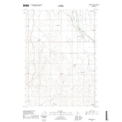 2020 Opalene Gulch2020 Print · USGSThe high desert along the Canyon and Owyhee county line comes alive in this 2020 map, where the Snake River meets a complex irrigation network. Researchers can trace the paths of the Deer Flat Low Line Canal and the Opalene Ditch past local landmarks like Elephant Butte and Fruit Island.
 - 2020 Map of Sand Hollow, 2020 Print
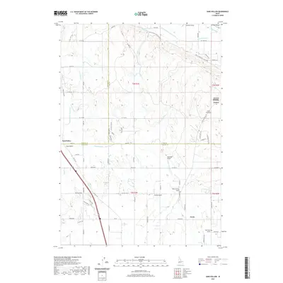 2020 Sand Hollow2020 Print · USGSWestern Idaho irrigation and agriculture are at the forefront of this modern survey of the Payette and Gem County lines. Trace the intricate path of the Black Canyon Canal past the community of Jenness or locate the rural crossroads of Sand Hollow.
 - 2020 Map of Wilson Peak, 2020 Print
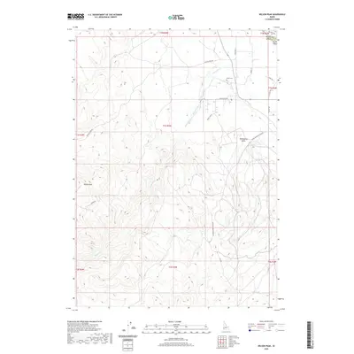 2020 Wilson Peak2020 Print · USGSCanyon and Owyhee Counties meet at the Snake River in this recent survey of the Idaho high country. Researchers can locate Wilson Cem and trace early irrigation routes like the Reynolds Cr Bernard Ditch and China Ditch Rd.
 - 2020 Map of Parma SE, 2020 Print
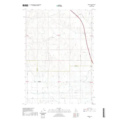 2020 Parma SE2020 Print · USGSCanyon and Payette counties are shown here in the recent past, dominated by the vital irrigation networks of the Treasure Valley. Researchers can trace the paths of the Farmers-Cooperative Sebree Canal and Black Canyon Canal past local landmarks like Rookstool Corner.
 - 2020 Map of Star, 2020 Print
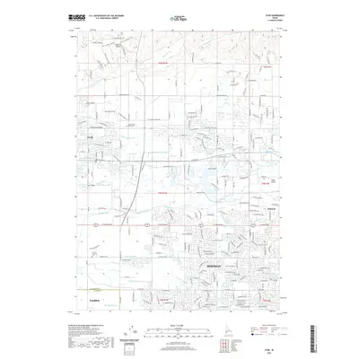 2020 Star2020 Print · USGSThe Boise River valley in 2020 reflects a unique blend of historic irrigation systems and modern growth between the cities of Star and Meridian. Researchers can trace the path of the Phyllis Canal or locate local landmarks like the Home of the Peace Cem and Eagle Island.
 - 2020 Map of Parma, 2020 Print
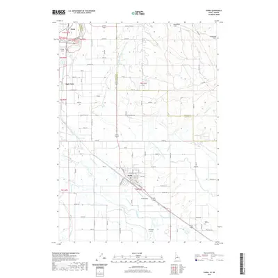 2020 Parma2020 Print · USGSThe Oregon-Idaho border comes alive in this contemporary survey of the fertile Snake and Boise River valleys. Genealogists and researchers can locate family sites near Parma Cem, Lower Boise Cem, and the rural crossroads of Apple Valley.
 - 2020 Map of Homedale, 2020 Print
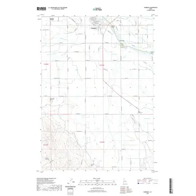 2020 Homedale2020 Print · USGSHomedale and the Snake River valley are documented here in the early twenty-first century as a landscape defined by irrigation and river geography. Researchers can locate family landmarks such as the Marsing-Homedale Cem or trace the routes of the A Line Canal and Succor Cr.
 - 2023 Map of Opalene Gulch, 2023 Print
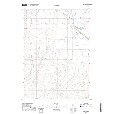 2023 Opalene Gulch2023 Print · USGSThe border of Canyon and Owyhee counties is defined here by the winding Snake River and its varied islands. Local historians can trace early irrigation routes like the Opalene Ditch and find natural landmarks such as Elephant Butte and Coyote Spring.
 - 2023 Map of Adrian, 2023 Print
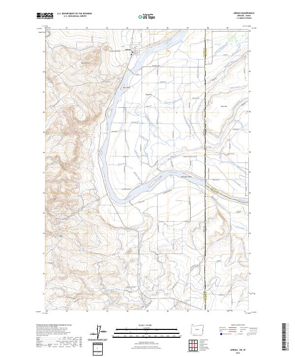 2023 Adrian2023 Print · USGSThe Oregon-Idaho border comes alive in this contemporary survey of the Snake River valley. Trace the irrigation network from Adrian to Big Bend and explore river landmarks like Suzy Island and the Deer Flat National Wildlife Refuge.
Showing maps 1-25 of 47
Top cities of Canyon County
- Nampa historical maps
- Caldwell historical maps
- Middleton historical maps
- Parma historical maps
- Wilder historical maps
- Greenleaf historical maps
See more
Frequently asked questions
- What are the different types of historical maps available for Canyon County?
- What is the oldest map of Canyon County?
- Where can I purchase historical maps of Canyon County for my home or office?
- Where can I download high-res historical maps of Canyon County?
- Are there historical topographic maps available for Canyon County?
- Is there historical aerial imagery available for Canyon County?
- Where are historical maps of Canyon County sourced from?