Old Maps of Fremont County, Idaho for Hiking & Exploration
Hike through history with 88 historic maps of Fremont County. Explore old trails, ghost towns, and forgotten backroads — perfect for outdoor adventurers and local explorers.
- Rediscover forgotten places: Map out old mining camps, roads, and footpaths that no longer exist on modern maps.
- Layer with modern tools: Combine with LiDAR or satellite views to plan hikes through historical terrain.
- Made for exploration: Popular among hikers, overlanders, and local history lovers.
Use these maps to find adventure and explore the hidden past of Fremont County.
Fremont County, ID maps
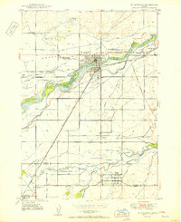
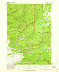
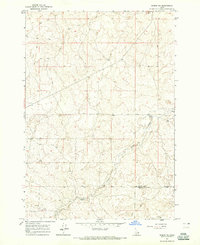
(88)- 1948 Map of Parker, 1973 Print
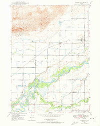 1948 Parker1973 Print · USGSCovers Fremont County, including Sugar City, Parker, and other nearby areas2 unique versions available
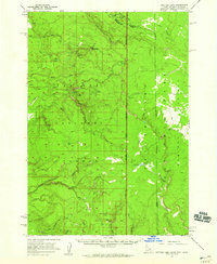
 - 1949 Map of Newdale, 1966 Print
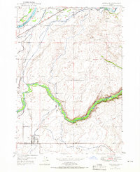 1949 Newdale1966 Print · USGSCovers Fremont County, including Newdale, Madison County, and other nearby areas2 unique versions available
 - 1950 Map of Parker
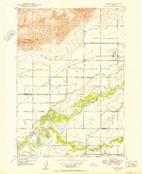 1950 Parker1950 Print · USGSCovers Fremont County, including Sugar City, Parker, and other nearby areas
 - 1950 Map of Newdale
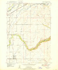 1950 Newdale1950 Print · USGSCovers Fremont County, including Newdale, Madison County, and other nearby areas
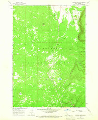
 - 1950 Map of St Anthony
 1950 St Anthony1950 Print · USGSCovers Fremont County, including St. Anthony, Sugar City, and other nearby areas3 unique versions available
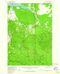
 - 1950 Map of Hebgen Dam, 1954 Print
 1950 Hebgen Dam1954 Print · USGSCovers Fremont County, including Kirkwood, Clark Springs, and other nearby areas7 unique versions available
 - 1950 Map of Upper Red Rock Lake, 1954 Print
 1950 Upper Red Rock Lake1954 Print · USGSCovers Fremont County, including Beaverhead County, Clark County, and other nearby areas3 unique versions available
 - 1951 Map of Plano, 1953 Print
 1951 Plano1953 Print · USGSCovers Fremont County, including Madison County, Jefferson County, and other nearby areas2 unique versions available
 - 1955 Map of Dubois
 1955 Dubois1955 Print · USGSCovers Fremont County, including Dubois, Lima, and other nearby areas4 unique versions available
 - 1955 Map of Idaho Falls, 1963 Print
 1955 Idaho Falls1963 Print · USGSCovers Fremont County, including Idaho Falls, Blackfoot, and other nearby areas5 unique versions available
 - 1955 Map of Ashton, 1967 Print
 1955 Ashton1967 Print · USGSCovers Fremont County, including West Yellowstone, Ashton, and other nearby areas4 unique versions available
 - 1955 Map of Driggs, 1967 Print
 1955 Driggs1967 Print · USGSCovers Fremont County, including Idaho Falls, Rexburg, and other nearby areas3 unique versions available
 - 1957 Map of Warm River Butte, 1958 Print
 1957 Warm River Butte1958 Print · USGSCovers Fremont County, including Teton County, United States, and other nearby areas3 unique versions available
 - 1957 Map of Buffalo Lake, 1959 Print
 1957 Buffalo Lake1959 Print · USGSCovers Fremont County, including Gallatin County, Teton County, and other nearby areas2 unique versions available
 - 1958 Map of Driggs
 1958 Driggs1958 Print · USGSCovers Fremont County, including Idaho Falls, Rexburg, and other nearby areas2 unique versions available
 - 1958 Map of Dubois
 1958 Dubois1958 Print · USGSCovers Fremont County, including Dubois, Lima, and other nearby areas2 unique versions available
 - 1958 Map of Idaho Falls
 1958 Idaho Falls1958 Print · USGSCovers Fremont County, including Idaho Falls, Blackfoot, and other nearby areas2 unique versions available
 - 1958 Map of Ashton
 1958 Ashton1958 Print · USGSCovers Fremont County, including West Yellowstone, Ashton, and other nearby areas
 - 1958 Map of West Yellowstone, 1960 Print
 1958 West Yellowstone1960 Print · USGSCovers Fremont County, including West Yellowstone, Railroad Summer Home Area, and other nearby areas3 unique versions available
 - 1960 Map of Ashton
 1960 Ashton1960 Print · USGSCovers Fremont County, including West Yellowstone, Ashton, and other nearby areas
 - 1962 Map of Driggs
 1962 Driggs1962 Print · USGSCovers Fremont County, including Idaho Falls, Rexburg, and other nearby areas
 - 1964 Map of Hatchery Butte, 1965 Print
 1964 Hatchery Butte1965 Print · USGSCovers Fremont County, including United States, Idaho, and other nearby areas2 unique versions available
 - 1964 Map of Dubois NE, 1965 Print
 1964 Dubois NE1965 Print · USGSCovers Fremont County, including Clark County, United States, and other nearby areas
 - 1964 Map of Island Park, 1965 Print
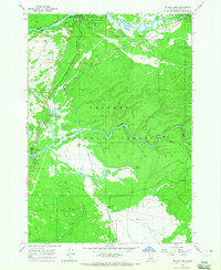 1964 Island Park1965 Print · USGSCovers Fremont County, including Island Park, Big Springs, and other nearby areas3 unique versions available
 - 1964 Map of Island Park Dam, 1966 Print
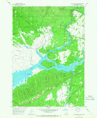 1964 Island Park Dam1966 Print · USGSCovers Fremont County, including Island Park, Box Canyon, and other nearby areas3 unique versions available
Showing maps 1-25 of 88
Top cities of Fremont County
- St. Anthony historical maps
- Ashton historical maps
- Teton historical maps
- Parker historical maps
- Island Park historical maps
- Warm River historical maps
Frequently asked questions
- What are the different types of historical maps available for Fremont County?
- What is the oldest map of Fremont County?
- Where can I purchase historical maps of Fremont County for my home or office?
- Where can I download high-res historical maps of Fremont County?
- Are there historical topographic maps available for Fremont County?
- Is there historical aerial imagery available for Fremont County?
- Where are historical maps of Fremont County sourced from?