2000s (21st Century) Maps of Fremont County, Idaho
Explore 272 historic maps of Fremont County from the 2000s (21st Century). These maps offer a rare glimpse into what life looked like during the 2000s — showing old roads, neighborhoods, homes, and landmarks that have changed or disappeared over time.
Whether you're researching your family's past, planning a metal detecting trip, or studying how Fremont County's landscape evolved across the 2000s, these high-resolution maps are a powerful tool for exploring the history of this region.
- Focus on a specific era: All maps on this page are from the 2000s, giving you a focused view of this time period.
- See what’s changed: Compare century-old streets, trails, and buildings to today's modern landscape using overlays and satellite layers.
- Research with precision: Use these maps for genealogy, historical research, land use analysis, or educational projects.
- View, download, or print: Maps are fully viewable online in high resolution, and can be downloaded or printed for your own records.
Start exploring Fremont County's history through authentic maps from the 2000s. This is your window into the past.
Fremont County, ID maps
(272)- 2000 Map of Buffalo Lake NE, 2005 Print
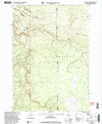 2000 Buffalo Lake NE2005 Print · USGSThe high wilderness where Idaho, Montana, and Wyoming meet is captured here at the turn of the millennium. Trace the Continental Divide as it cuts between Yellowstone National Park and the canyons of Moose Creek.
 - 2000 Map of Reas Pass, 2005 Print
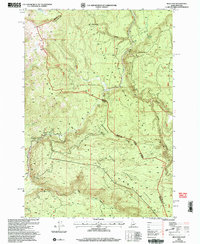 2000 Reas Pass2005 Print · USGSThe high Idaho-Montana borderlands are captured here at the turn of the millennium within the Targhee National Forest. Researchers can trace the Continental Divide and find landmarks like the Big Springs Lookout (Site) and the remote Reas Pass.
 - 2000 Map of Targhee Pass, 2005 Print
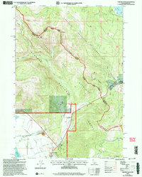 2000 Targhee Pass2005 Print · USGSThe high alpine pass between Idaho and Montana comes to life in this late-twentieth-century survey of the Henrys Lake Mountains. Trace the rugged ridgelines along the Continental Divide and find local landmarks like Targhee Cemetery and Lionhead Resort.
 - 2000 Map of Madison Arm, 2005 Print
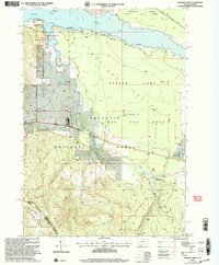 2000 Madison Arm2005 Print · USGSThe Montana-Idaho borderland near West Yellowstone is captured here at the turn of the century, showing a landscape shaped by forest recreation and water. Researchers can trace the development of seasonal communities like Madison Arm Resort and Bar N Ranch near Hebgen Lake.
 - 2000 Map of Targhee Peak, 2005 Print
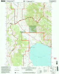 2000 Targhee Peak2005 Print · USGSThe high mountain border between Idaho and Montana is captured here at the turn of the millennium, centered on the northern reaches of Henrys Lake. Genealogists and historians can locate legacy properties like the Wild Rose Ranch and Staley Springs along the rugged Continental Divide.
 - 2000 Map of Hebgen Dam, 2005 Print
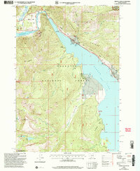 2000 Hebgen Dam2005 Print · USGSGallatin County, Montana, was still reconciling its geology with its recreation at the start of the new millennium. Researchers can locate significant seismic landmarks like the Ghost Village and the Earthquake Scarp Exhibit alongside local landmarks like Watkins Creek Ranch.
 - 2000 Map of Earthquake Lake, 2005 Print
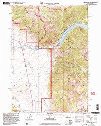 2000 Earthquake Lake2005 Print · USGSThe Madison River valley was a landscape in transition at the turn of the millennium, defined by its massive mid-century landslide. Researchers can trace family ranching sites like Olifee Ranch alongside more modern developments like the Earthquake Memorial.
 - 2000 Map of Latham Spring, 2005 Print
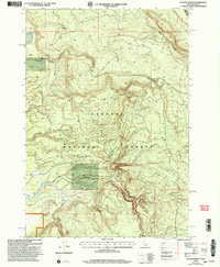 2000 Latham Spring2005 Print · USGSThe Continental Divide straddles the Idaho and Montana border at the turn of the century. Researchers can trace the rugged water network of the Targhee National Forest, including Latham Springs and Lucky Dog Spring.
 - 2010 Map of Dubois NE, 2010 Print
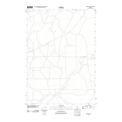 2010 Dubois NE2010 Print · USGSEast of Dubois in the early twenty-first century, this Idaho landscape is defined by its wide-open ranching country and high-plains watercourses. Researchers can trace the drainage of Camas Creek and locate family-named landmarks like the Jacoby Ranch.
 - 2010 Map of Market Lake NE, 2010 Print
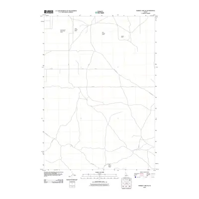 2010 Market Lake NE2010 Print · USGSThe high desert of Jefferson County comes into focus in the early twenty-first century, showing a landscape defined by volcanic landmarks and rural roads. Trace the paths of Hamer Rd and Hawgood Crossing Rd past Big Grassy Butte and Gerber Butte.
 - 2010 Map of Camas, 2010 Print
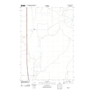 2010 Camas2010 Print · USGSCamas and the surrounding high-desert plains are captured in this 2010 survey at the junction of critical waterways and historic roads. Genealogists and historians can trace legacy transport routes like Old Hwy 91 and early settlements like Camas and Jones Crossing.
 - 2010 Map of Hamer, 2010 Print
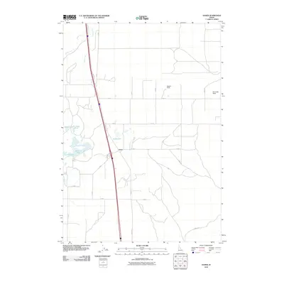 2010 Hamer2010 Print · USGSHamer and the volcanic plains of Jefferson County are captured here just after the turn of the millennium. Researchers can trace historic road alignments like N Old Butte Hwy and local water features including Rat Farm Pond and Hamer Lake.
 - 2010 Map of Dubois SE, 2010 Print
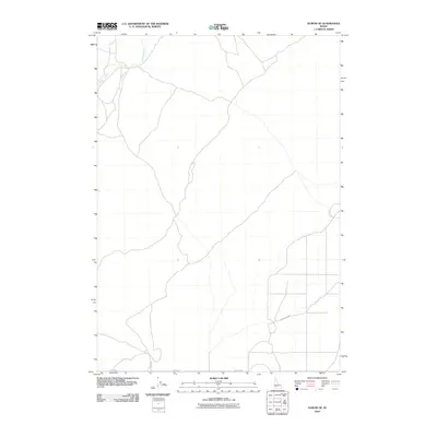 2010 Dubois SE2010 Print · USGSEastern Idaho ranching country near the turn of the twenty-first century is defined by its grid of rural routes and water access. Researchers can trace the path of Camas Creek or follow the section lines along Taylor Rd and Davis Lake Rd.
 - 2010 Map of Split Butte, 2010 Print
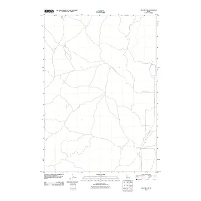 2010 Split Butte2010 Print · USGSFremont County, Idaho, is shown at the turn of the twenty-first century as a landscape of open ranges and desert tracks. Local history researchers can trace high-country routes like Snowshoe Beetle Rd and Red Sand Creek Bed Rd around the distinctive Split Butte.
 - 2010 Map of Black Knoll, 2010 Print
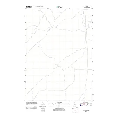 2010 Black Knoll2010 Print · USGSEastern Idaho at the start of the 2010s shows a landscape dominated by open country and essential rural roads. Trace the remote routes of Sand Dune Rd and Sand Creek Rd as they pass the distinct rise of Black Knoll.
 - 2010 Map of Split Rock, 2010 Print
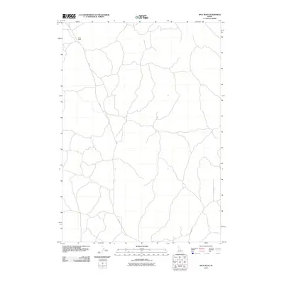 2010 Split Rock2010 Print · USGSRemote high-desert terrain in Fremont County is charted here during the early twenty-first century. Researchers can trace primitive backcountry routes such as Red Rd and Ice Cave Rd to the prominent landmark at Split Rock.
 - 2010 Map of Pine Butte, 2010 Print
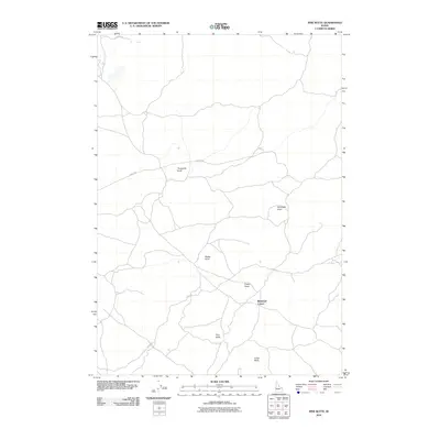 2010 Pine Butte2010 Print · USGSFremont County, Idaho, is defined here by its volcanic landmarks and high rangeland at the start of the 2010s. Researchers can locate the settlement at Bedstead Corner and trace routes across the landscape via 18 Mile Rd and Stock Dr.
 - 2010 Map of Snowshoe Butte, 2010 Print
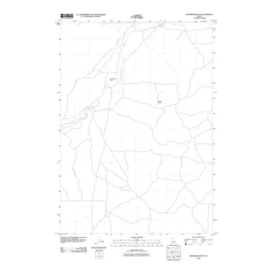 2010 Snowshoe Butte2010 Print · USGSFremont County, Idaho, is documented here in the early twenty-first century as a landscape of high ridges and winding waterways. Researchers can trace the rugged network of Gravy Ridge Rd and Jacoby Rd as they navigate the area around Snowshoe Butte and Camas Creek.
 - 2010 Map of Lemon Lake, 2010 Print
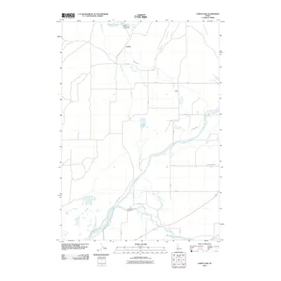 2010 Lemon Lake2010 Print · USGSFremont County, Idaho, is seen here at the start of the decade, where the local economy is tied to the waters of the Fall River. Genealogists and local historians can trace irrigation networks like the Arcadia Canal and locate the rural settlements of Ora and Sarilda.
 - 2010 Map of Big Grassy Ridge SE, 2010 Print
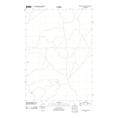 2010 Big Grassy Ridge SE2010 Print · USGSFremont County ranching and rangelands are documented in the first decade of the millennium. Modern researchers can trace the movement of livestock and local access through routes like Siddoway Sheep Rd, Red Rd, and Sand Dune Rd.
 - 2010 Map of Big Grassy Ridge, 2010 Print
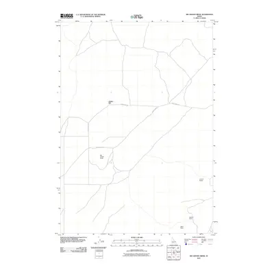 2010 Big Grassy Ridge2010 Print · USGSFremont County, Idaho, is documented here in the early twenty-first century as a landscape of isolated ridges and desert basins. Researchers can trace the routes of Grassy Ridge Rd and 18 Davis Lake Rd past landmarks like Jenkins Will and the Juniper Buttes.
 - 2010 Map of Parker, 2010 Print
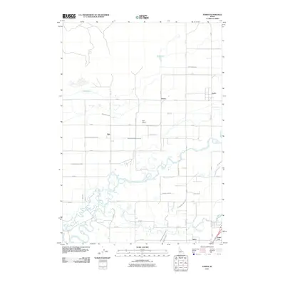 2010 Parker2010 Print · USGSThe Snake River Plain comes alive in this 2010 survey of Madison County's agricultural heartland and river junctions. Genealogists and historians can trace the irrigation networks that sustain Parker, Salem, and the waters of Henrys Fork.
 - 2010 Map of Saint Anthony, 2010 Print
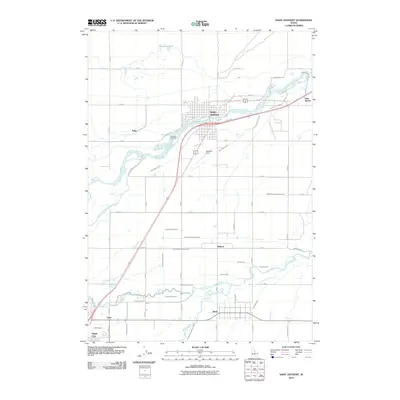 2010 Saint Anthony2010 Print · USGSSaint Anthony and the Snake River Plain are captured here in the early twenty-first century, defined by a complex irrigation network. Genealogists can locate family sites near Riverview Cemetery or trace early water rights along the Farmers Friend Canal and Teton River.
 - 2010 Map of Newdale, 2010 Print
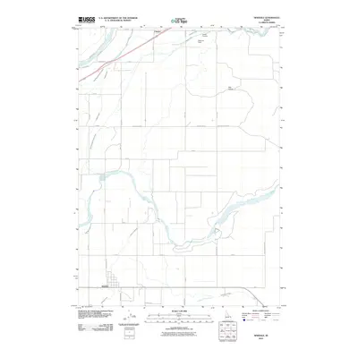 2010 Newdale2010 Print · USGSFremont County's agricultural heartland is documented in this 2010 survey, showing the vital irrigation systems of the Snake River Plain. Researchers can locate the community of Chester, the Chester Cemetery, and the riverfronts of Henrys Fork and the Teton River.
 - 2010 Map of Drummond, 2010 Print
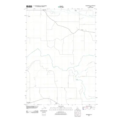 2010 Drummond2010 Print · USGSFremont County's agricultural high country is documented here in the early twenty-first century, showing the small grain-handling centers and rural intersections of the region. Researchers can locate the Farnum Cemetery, the site of Felt Dam on the Teton River, and the settlement at Drummond.
Showing maps 1-25 of 272
Top cities of Fremont County
- St. Anthony historical maps
- Ashton historical maps
- Teton historical maps
- Parker historical maps
- Island Park historical maps
- Warm River historical maps
Frequently asked questions
- What are the different types of historical maps available for Fremont County?
- What is the oldest map of Fremont County?
- Where can I purchase historical maps of Fremont County for my home or office?
- Where can I download high-res historical maps of Fremont County?
- Are there historical topographic maps available for Fremont County?
- Is there historical aerial imagery available for Fremont County?
- Where are historical maps of Fremont County sourced from?