2020s Maps of Fremont County, Idaho
Explore 105 historic maps of Fremont County from the 2020s. These maps offer a rare glimpse into what life looked like during the 2020s — showing old roads, neighborhoods, homes, and landmarks that have changed or disappeared over time.
Whether you're researching your family's past, planning a metal detecting trip, or studying how Fremont County's landscape evolved across the 2020s, these high-resolution maps are a powerful tool for exploring the history of this region.
- Focus on a specific era: All maps on this page are from the 2020s, giving you a focused view of this time period.
- See what’s changed: Compare century-old streets, trails, and buildings to today's modern landscape using overlays and satellite layers.
- Research with precision: Use these maps for genealogy, historical research, land use analysis, or educational projects.
- View, download, or print: Maps are fully viewable online in high resolution, and can be downloaded or printed for your own records.
Start exploring Fremont County's history through authentic maps from the 2020s. This is your window into the past.
Fremont County, ID maps
(105)- 2020 Map of Blue Creek Reservoir, 2020 Print
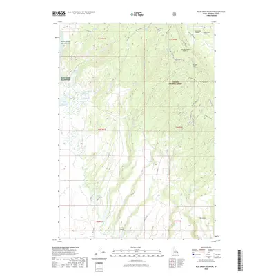 2020 Blue Creek Reservoir2020 Print · USGSFremont County, Idaho, is depicted here as a landscape of volcanic calderas and managed wildlife habitats in the early twenty-first century. Discover the complex water systems at Blue Cr Reservoir and trace historic routes through the Targhee National Forest and Sand Creek Elk Refuge.
 - 2020 Map of Big Grassy, 2020 Print
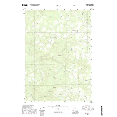 2020 Big Grassy2020 Print · USGSHigh-altitude forest management and geological features define this section of Fremont County within the Targhee National Forest. Researchers can trace the drainage of Warm River and locate landmarks like Island Park Caldera and Snow Creek Butte.
 - 2020 Map of Warm River Butte, 2020 Print
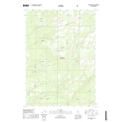 2020 Warm River Butte2020 Print · USGSFremont County's high forest terrain is documented here in the early twenty-first century, centered on the ancient Island Park Caldera. Trace primitive routes like Warm River Butte Rd to reach landmarks such as Warm River Lookout and Rising Butte.
 - 2020 Map of Lemon Lake, 2020 Print
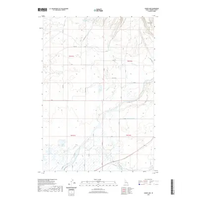 2020 Lemon Lake2020 Print · USGSFremont County's agricultural heart is captured here in the early twenty-first century, showing the intricate irrigation networks south of the Arcadia Canal. Trace the flow of the Fall River through a landscape defined by the Chester Canal and Lemon Lake.
 - 2020 Map of Big Grassy Ridge, 2020 Print
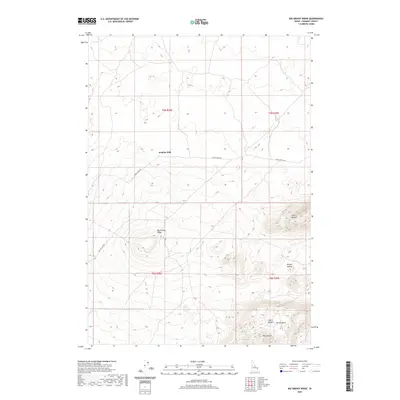 2020 Big Grassy Ridge2020 Print · USGSFremont County, Idaho, is documented here in the early twenty-first century as a land of volcanic buttes and high-desert rangeland. Researchers can trace remote routes like Grassy Ridge Rd and locate landmarks such as Jenkins Will and Hansen Basin.
 - 2020 Map of Antelope Valley, 2020 Print
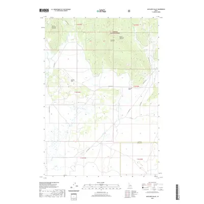 2020 Antelope Valley2020 Print · USGSThe high peaks of the Centennial Mountains meet the grazing lands of the Antelope Valley in this recent survey. Local researchers can trace old ranching corridors along Kilgore-Yale Rd and the drainage of Moose Cr.
 - 2020 Map of Crystal Butte, 2020 Print
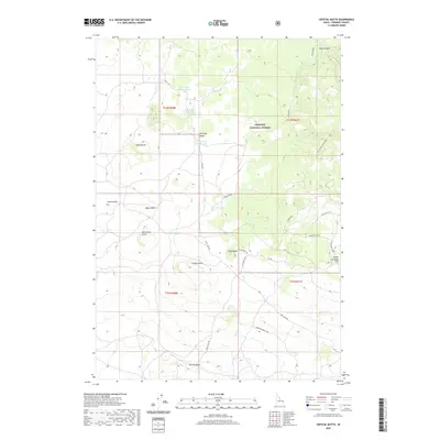 2020 Crystal Butte2020 Print · USGSFremont County's volcanic landscape is captured here in the early twenty-first century, dominated by a sequence of prominent buttes and the eastern forest edge. Trace forest access routes and topographic landmarks like Crystal Butte, Davis Lake Number Three, and the high reaches of North Antelope Flat.
 - 2020 Map of Big Grassy Ridge SE, 2020 Print
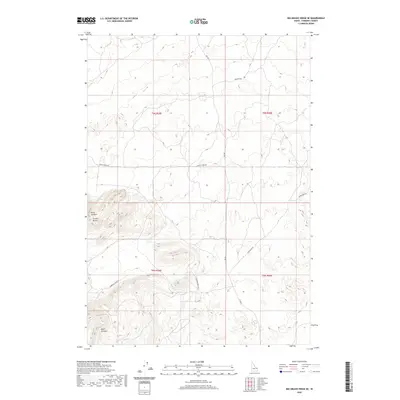 2020 Big Grassy Ridge SE2020 Print · USGSFremont County, Idaho, is seen here in the modern era, showing a vast area of volcanic and sand-swept terrain. Researchers can trace the winding paths of Siddoway Sheep Rd and Sand Dune Rd around the heights of Juniper Buttes.
 - 2020 Map of Snowshoe Butte, 2020 Print
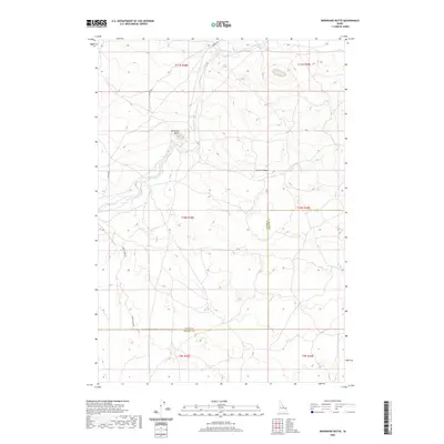 2020 Snowshoe Butte2020 Print · USGSFremont County's high ridges and creek drainages are documented here in the early twenty-first century. Researchers can trace the path of Camas Cr and locate high-elevation landmarks like Snowshoe Butte and Chicken Ridge.
 - 2020 Map of Black Knoll, 2020 Print
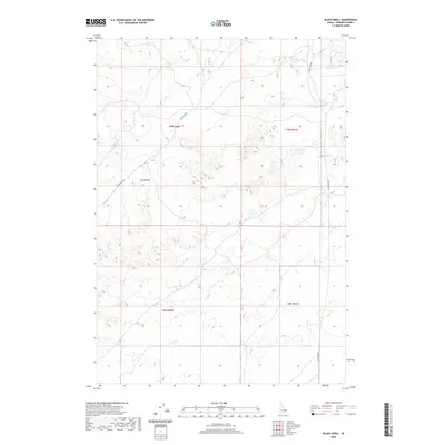 2020 Black Knoll2020 Print · USGSFremont County's high-desert terrain is meticulously documented in this recent survey of the Snake River Plain. Researchers and backcountry travelers can trace the winding paths of Sand Dune Rd and Sand Creek Rd as they navigate the dunes near Black Knoll.
 - 2020 Map of Split Rock, 2020 Print
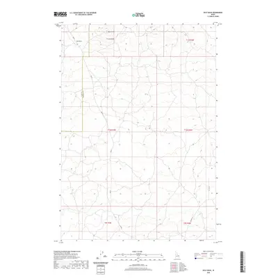 2020 Split Rock2020 Print · USGSThe high volcanic plains along the Clark and Fremont County line are captured here in the modern era. Map collectors and researchers can trace the routes of Red Rd and Ice Cave Rd as they navigate past landmarks like Split Rock.
 - 2020 Map of Pine Butte, 2020 Print
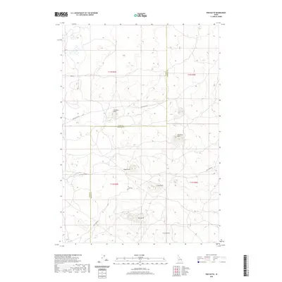 2020 Pine Butte2020 Print · USGSIn this 2020 map of the Idaho high desert, volcanic landforms define the boundary between Clark and Fremont counties. Researchers can trace the path of the long Stock Driveway and identify named family landmarks like Twitchells Knoll and Freize Knoll.
 - 2020 Map of Linderman Dam, 2020 Print
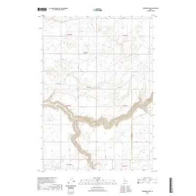 2020 Linderman Dam2020 Print · USGSMadison County at the turn of the decade shows a landscape of deep canyons and high plateaus. Researchers can trace the rugged course of the Teton River past Linderman Dam and investigate the unique topography of Hog Hollow Crater.
 - 2020 Map of Newdale, 2020 Print
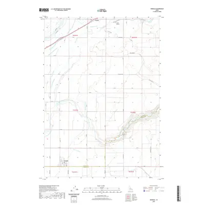 2020 Newdale2020 Print · USGSThe high plains of eastern Idaho are defined here by a sophisticated irrigation network during the early twenty-first century. Genealogists and historians can trace the layouts of Newdale and Chester, while locating landmarks like the Chester Cem and 800 North and the PO.
 - 2020 Map of Drummond, 2020 Print
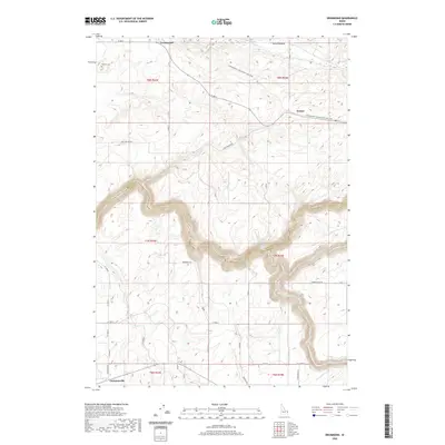 2020 Drummond2020 Print · USGSThe high plateau of eastern Idaho comes alive in this modern survey of the canyonlands near the Teton River. Researchers can trace family roots at Farnum Cem and follow the historic path of the Yellowstone / Grand Teton Rail Trail through Drummond.
 - 2020 Map of Hamer, 2020 Print
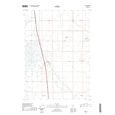 2020 Hamer2020 Print · USGSThe rural landscape of Jefferson County is captured here in the contemporary era, centered on the settlement of Hamer. Researchers can trace irrigation and land use through Hamer Ditch, Sandhole Lake, and the uniquely named Rat Farm Pond.
 - 2020 Map of Market Lake NE, 2020 Print
 2020 Market Lake NE2020 Print · USGSJefferson County's high desert terrain is captured here in the early twenty-first century, showing a landscape defined by volcanic rises and section roads. Trace the paths of Egin-Hamer Rd and Hawgood Crossing Rd past Gerber Butte.
 - 2020 Map of Plano, 2020 Print
 2020 Plano2020 Print · USGSThe high plains of Madison County and the Egin Bench are captured here in 2020, revealing the modern footprint of early settlement sites. Genealogists and local historians can trace landmarks like Plano, Edmonds, and the Plano Cem amidst a complex network of irrigation through the Saint-Anthony-Union-Canal.
 - 2020 Map of Dubois NE, 2020 Print
 2020 Dubois NE2020 Print · USGSFremont and Clark Counties are captured here in the contemporary era, showcasing a high-desert landscape defined by the Public Land Survey System. Researchers can trace the path of Camas Cr and locate remote routes like Jacoby Rd and Gravy Ridge Rd.
 - 2020 Map of Dubois SE, 2020 Print
 2020 Dubois SE2020 Print · USGSFremont and Clark counties meet in this corner of eastern Idaho during the late twenty-teens, showing a quiet landscape defined by its high desert topography. Researchers can trace the path of Camas Cr and the limited road network including Laird Rock Rd and Davis Lake Rd.
 - 2020 Map of Camas, 2020 Print
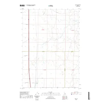 2020 Camas2020 Print · USGSCamas and the surrounding high desert terrain are captured in this modern survey, reflecting the region's deep agricultural roots. Researchers can trace historic transit corridors like Old Hwy 91 and water features such as Beaver Cr and Camas Cr.
 - 2020 Map of Snake River Butte, 2020 Print
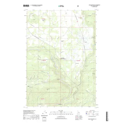 2020 Snake River Butte2020 Print · USGSFremont County's volcanic highlands are revealed in this modern survey of the Targhee National Forest. Trace the intricate canyons and springs around Gerrit, from the dramatic Upper Mesa Falls to the heights of Snake River Butte.
 - 2020 Map of Hatchery Butte, 2020 Print
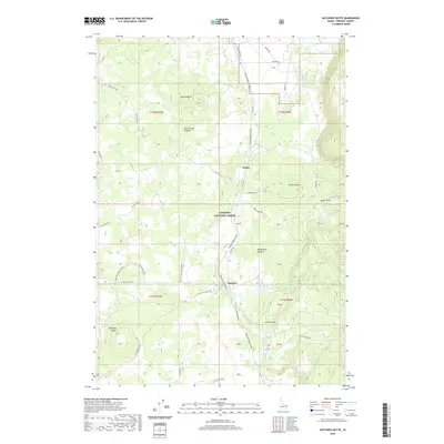 2020 Hatchery Butte2020 Print · USGSFremont County's volcanic landscape and timber lands are documented here in the early twenty-first century. Researchers can trace the path of the Railroad Right-Of-Way as it serves the small settlements of Eccles and Pineview.
 - 2020 Map of Sawtell Peak, 2020 Print
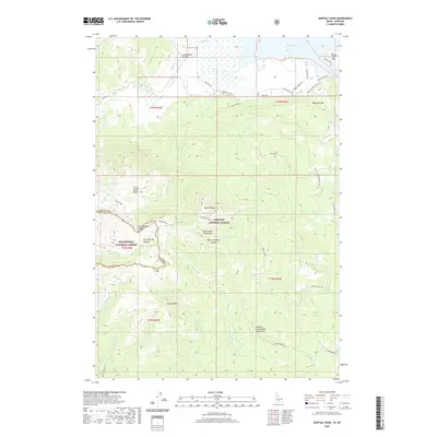 2020 Sawtell Peak2020 Print · USGSThe high peaks of the Centennial Mountains meet the shores of Henrys Lake in the late twenty-teens. Outdoor historians and genealogists can trace property lines in the Webster Subdivision or explore high-altitude landmarks like Sawtell Peak and Schoolhouse Canyon.
 - 2020 Map of Latham Spring, 2020 Print
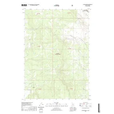 2020 Latham Spring2020 Print · USGSThe high timberlands along the Idaho and Montana border are captured here in the years before the recent decade. Researchers can trace the water systems of Latham Springs and the geological rim of the Island Park Caldera across this remote forest landscape.
Showing maps 1-25 of 105
Top cities of Fremont County
- St. Anthony historical maps
- Ashton historical maps
- Teton historical maps
- Parker historical maps
- Island Park historical maps
- Warm River historical maps
Frequently asked questions
- What are the different types of historical maps available for Fremont County?
- What is the oldest map of Fremont County?
- Where can I purchase historical maps of Fremont County for my home or office?
- Where can I download high-res historical maps of Fremont County?
- Are there historical topographic maps available for Fremont County?
- Is there historical aerial imagery available for Fremont County?
- Where are historical maps of Fremont County sourced from?