1970s Maps of Idaho County, Idaho
Explore 31 historic maps of Idaho County from the 1970s. These maps offer a rare glimpse into what life looked like during the 1970s — showing old roads, neighborhoods, homes, and landmarks that have changed or disappeared over time.
Whether you're researching your family's past, planning a metal detecting trip, or studying how Idaho County's landscape evolved across the 1970s, these high-resolution maps are a powerful tool for exploring the history of this region.
- Focus on a specific era: All maps on this page are from the 1970s, giving you a focused view of this time period.
- See what’s changed: Compare century-old streets, trails, and buildings to today's modern landscape using overlays and satellite layers.
- Research with precision: Use these maps for genealogy, historical research, land use analysis, or educational projects.
- View, download, or print: Maps are fully viewable online in high resolution, and can be downloaded or printed for your own records.
Start exploring Idaho County's history through authentic maps from the 1970s. This is your window into the past.
Idaho County, ID maps
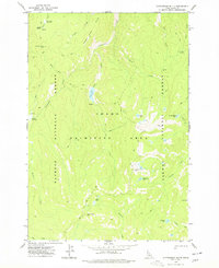
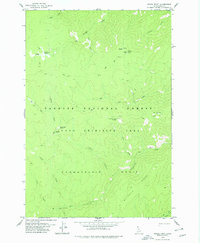
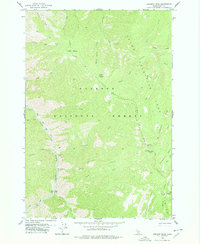
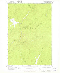
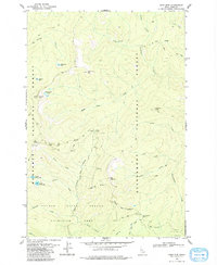
(31)- 1973 Map of Acorn Butte, 1975 Print
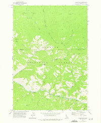 1973 Acorn Butte1975 Print · USGSThe wilderness of the Payette National Forest is revealed here in the 1970s, as pack trails and river camps defined the backcountry. Trace remote history at the Snowshoe Mine, the Acorn Butte lookout, and uniquely named river landings like Soft Boil Bar.2 unique versions available
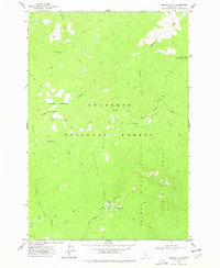
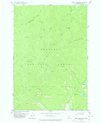
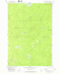
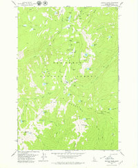
 - 1973 Map of Bismark Mtn, 1975 Print
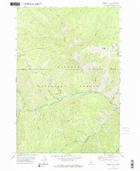 1973 Bismark Mtn1975 Print · USGSThe remote Idaho backcountry comes into focus in the early seventies, detailing the high ridges and drainage basins of the Payette National Forest. Trace early prospecting routes and human landmarks like Copper Camp, the Grave near Copper Creek, and Monumental Bar.2 unique versions available
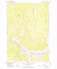
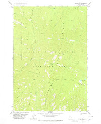
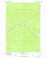
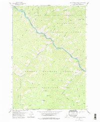
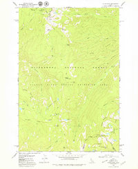
 - 1974 Map of Meadow Of Doubt, 1977 Print
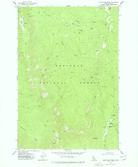
 1974 Meadow Of Doubt1977 Print · USGSThe Payette National Forest in the mid-1970s was a remote wilderness defined by backcountry aviation and historic ranching outposts. Researchers can locate isolated sites like Stonebraker Ranch, the Chamberlain Landing Field, and the high-altitude Meadow of Doubt.
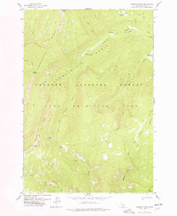
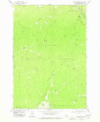
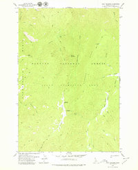
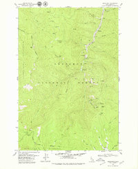
 - 1977 Map of Silver Spur Ridge
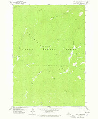
 1977 Silver Spur Ridge1977 Print · USGSThe high ridges of Idaho County are shown here in the 1970s, detailed with the remote trails and mining claims of the Nez Perce National Forest. Researchers can trace the local prospecting history through labels like the Goldbug Mine, Union Group Mines, and the Dixie Landing Strip.2 unique versions available
 - 1977 Map of Cottonwood Butte
 1977 Cottonwood Butte1977 Print · USGSIn the high Idaho backcountry during the late 1970s, this area was a wilderness of protected lands and pack routes. Tracing these trails leads to remote landmarks like Cottonwood Butte, Grandad Campsite, and Swamp Angel Lake.
 - 1977 Map of Boston Mtn, 1978 Print
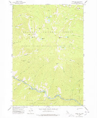
 1977 Boston Mtn1978 Print · USGSIdaho’s backcountry during the mid-seventies is captured here, showing the remote drainages of the Nez Perce National Forest. Researchers can trace the path of the Nez Perce Trail and locate isolated landmarks like Boston Mtn Lake and Campground Granite Spring.2 unique versions available
 - 1978 Map of Waugh Mountain
 1978 Waugh Mountain1978 Print · USGSThe Salmon River backcountry was defined by steep canyons and remote river bars in the late seventies. Researchers can trace historic river access points like Lantz Bar, seasonal campsites at Lost Packer Meadows, and the winding Pack Trail.
 - 1978 Map of Moose Butte
 1978 Moose Butte1978 Print · USGSThe Nez Perce National Forest of the late 1970s reveals a landscape of high-altitude mining and remote drainages. Researchers can trace historic activity at the Old Portland Mine and Dredge Tailings, or follow old Pack Trails to Moose Butte.
 - 1978 Map of Mosquito Peak
 1978 Mosquito Peak1978 Print · USGSThe high backcountry of central Idaho is captured here in the late 1970s, showcasing the remote trails and peaks of the primitive wilderness. Researchers can trace the Chamberlain Trail past the Smokehouse Ruins or locate high-altitude landmarks like Mosquito Peak.
 - 1978 Map of Arctic Point
 1978 Arctic Point1978 Print · USGSHigh in the Salmon River backcountry during the late 1970s, this survey captures a remote wilderness of ridges and basins. Researchers can trace historic access routes along the Pack Trail to Arctic Point Lookout Tower 7518 and Hot Springs Meadow.
 - 1978 Map of Spread Creek Point
 1978 Spread Creek Point1978 Print · USGSThe high country of Idaho County is captured here in the late 1970s, showcasing the remote ridges above the Salmon River. Researchers can trace the high-elevation Nez Perce Trail and find backcountry landmarks like Poet Creek Campground and Upper Trilby Lake.2 unique versions available
 - 1978 Map of Dennis Mtn
 1978 Dennis Mtn1978 Print · USGSIdaho County’s wilderness near the Salmon River was a landscape of high ridges and pack trails in the late seventies. Researchers can trace remote routes across Black Creek Saddle, find secluded spots like Cabin Spring, and locate the high Dennis Lakes.
 - 1978 Map of Magruder Mtn
 1978 Magruder Mtn1978 Print · USGSThe Idaho backcountry in the late seventies remained a place of high ridges and deep history, where the Selway River flows through the Bitterroot National Forest. Researchers can trace the Old Nez Perce Trail or find the Magruder Massacre Site and Magruder Campground.
 - 1978 Map of Chicken Peak
 1978 Chicken Peak1978 Print · USGSCentral Idaho in the late 1970s is shown as a preserved wilderness within the Idaho Primitive Area. Trace the steep terrain along the South Fork Salmon River to find backcountry sites like Spring Camp and Porphyry Bridge.
 - 1978 Map of Hida Point
 1978 Hida Point1978 Print · USGSThe central Salmon River corridor in Idaho is documented here in the late seventies, showing the remote canyon lands before modern wilderness designations. Researchers can locate isolated backcountry outposts like Allison Ranch, river features including Fivemile Rapids, and the winding Pack Trail Ridge.2 unique versions available
 - 1978 Map of Wapiti Creek
 1978 Wapiti Creek1978 Print · USGSThe Payette National Forest in the late seventies was a roadless expanse defined by backcountry trails and high meadows. Researchers can locate remote outposts like Mc Coy Cabin and Rock Ranch alongside landmarks like Wapiti Meadows.
 - 1978 Map of Sheep Hill
 1978 Sheep Hill1978 Print · USGSThe Salmon River wilderness in the late seventies was a land of high peaks and river-cut canyons accessible mostly by trail. You can trace early backcountry activity at Barth Hot Springs, Hancock Rapids, and the remote Lookout on Sheep Hill.2 unique versions available
 - 1978 Map of Trapper Creek, 1979 Print
 1978 Trapper Creek1979 Print · USGSIdaho County’s remote backcountry is mapped in the late seventies, showing a landscape defined by forest management and old mining claims. Researchers can trace the historic Nez Perce Trail, the Steckner Mine, and outposts like Cook Ranch.2 unique versions available
 - 1978 Map of Lodgepole Creek, 1979 Print
 1978 Lodgepole Creek1979 Print · USGSDeep within the Central Idaho wilderness in the late 1970s, this area was a hub for backcountry aviation and pack-trail travel. Researchers can locate the Chamberlain Landing Field, the Hotzel Ranch, and the Lookout Tower on Ramey Ridge.
 - 1978 Map of Devils Teeth Rapids, 1979 Print
 1978 Devils Teeth Rapids1979 Print · USGSThe Salmon River wilderness of central Idaho remained largely untouched by roads in the 1970s, defined instead by white water and pack trails. Researchers can trace historic river access points like Corey Bar and the steep terrain surrounding the Devils Teeth Rapids.
 - 1979 Map of Cold Meadows
 1979 Cold Meadows1979 Print · USGSThe Idaho Primitive Area in the late seventies was a remote wilderness of pack trails and remote outposts. Researchers can trace historic backcountry infrastructure and naming at Cold Meadows Forest Service Station, Dismal Camp, and Cold Meadows Landing Field.
 - 1979 Map of Sabe Mtn
 1979 Sabe Mtn1979 Print · USGSThe Idaho backcountry in the late 1970s remained a vast wilderness defined by national forest boundaries and primitive area protections. Researchers can trace historic routes like the Pack Trail to remote landmarks such as Sabe Mountain, Horse Heaven Saddle, and Stillman Lake.
 - 1979 Map of Buffalo Hump
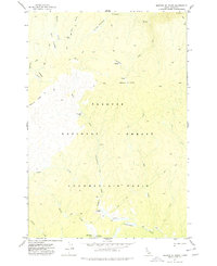
 1979 Buffalo Hump1979 Print · USGSIdaho’s high-country mining legacy is captured here in the 1970s, showcasing a landscape of former boomtowns and gold claims. Researchers can trace the footprints of Humptown and Frogtown or locate historic workings like the Big Buffalo Mine.3 unique versions available
 - 1979 Map of Stripe Mtn
 1979 Stripe Mtn1979 Print · USGSThe Salmon River backcountry remained a remote wilderness in the late seventies, centered on the high ridges of the Idaho and Lemhi county border. Genealogists and historians can trace old backcountry landmarks like the Swet Lake Cabin, Base Camp Campground, and the historic Nez Perce Trail.
 - 1979 Map of Orogrande
 1979 Orogrande1979 Print · USGSMining camps in the Idaho mountains were still active hubs of exploration and history during the late seventies. You can trace the legacy of gold extraction through Orogrande, the Penman Mine, and the extensive Dredge Tailings along the Crooked River.2 unique versions available
Showing maps 1-25 of 31
Top cities of Idaho County
- Grangeville historical maps
- Cottonwood historical maps
- Kooskia historical maps
- Riggins historical maps
- Stities historical maps
- Ferdinand historical maps
See more
Frequently asked questions
- What are the different types of historical maps available for Idaho County?
- What is the oldest map of Idaho County?
- Where can I purchase historical maps of Idaho County for my home or office?
- Where can I download high-res historical maps of Idaho County?
- Are there historical topographic maps available for Idaho County?
- Is there historical aerial imagery available for Idaho County?
- Where are historical maps of Idaho County sourced from?