1990s Maps of Idaho County, Idaho
Explore 173 historic maps of Idaho County from the 1990s. These maps offer a rare glimpse into what life looked like during the 1990s — showing old roads, neighborhoods, homes, and landmarks that have changed or disappeared over time.
Whether you're researching your family's past, planning a metal detecting trip, or studying how Idaho County's landscape evolved across the 1990s, these high-resolution maps are a powerful tool for exploring the history of this region.
- Focus on a specific era: All maps on this page are from the 1990s, giving you a focused view of this time period.
- See what’s changed: Compare century-old streets, trails, and buildings to today's modern landscape using overlays and satellite layers.
- Research with precision: Use these maps for genealogy, historical research, land use analysis, or educational projects.
- View, download, or print: Maps are fully viewable online in high resolution, and can be downloaded or printed for your own records.
Start exploring Idaho County's history through authentic maps from the 1990s. This is your window into the past.
Idaho County, ID maps
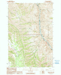
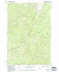
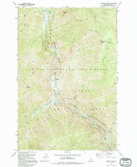
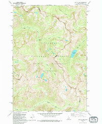
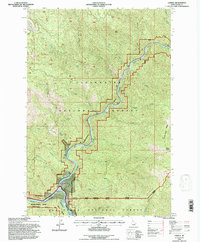
(173)- 1990 Map of Hat Point
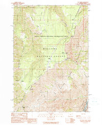 1990 Hat Point1990 Print · USGSThe Oregon-Idaho borderlands in the 1990s were a landscape of massive canyon descents and forest outposts. Researchers can trace the high-country infrastructure of Memaloose Guard Sta and follow the Western Rim National Recreation Trail past Hat Point.
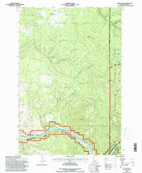
 - 1990 Map of Temperance Creek
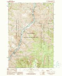
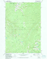
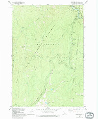
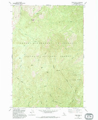
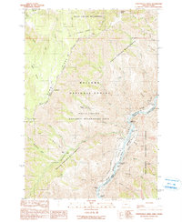 1990 Temperance Creek1990 Print · USGSThe Wallowa high country and the Snake River corridor meet in the late 1980s along the Idaho border. Genealogists and historians can trace isolated homestead sites like Wisner Place and Brockman Ranch or locate Mine Tunnels along the canyon floor.
 - 1990 Map of He Devil
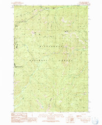
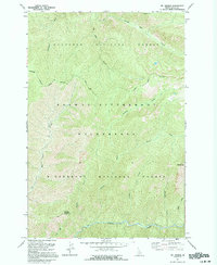
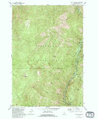
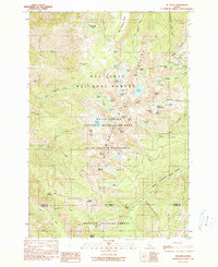 1990 He Devil1990 Print · USGSThe Seven Devils Mountains of Idaho are captured in the early nineties, showing a landscape defined by high peaks and remote wilderness management. Trace legacy sites like the Rankin Mill (Site) Mine Ruins and the Hibbs Cow Camp (Site) among alpine waters like Mirror Lake.2 unique versions available
 - 1990 Map of Squirrel Prairie
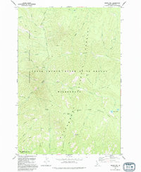
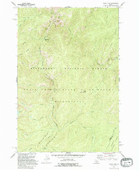
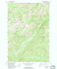
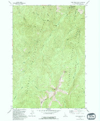
 1990 Squirrel Prairie1990 Print · USGSHells Canyon at the turn of the 1990s reveals a landscape of high-elevation prairies and dangerous whitewater along the Idaho border. Researchers can trace historic sites like Hibbs Ranch (Site) and navigate the river's path through Wild Sheep Rapids and Rocky Point Rapids.
 - 1990 Map of Lord Flat
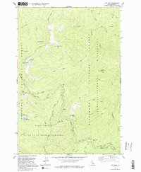
 1990 Lord Flat1990 Print · USGSHells Canyon remained a primitive borderland in the early nineties, where the high ridges of Oregon overlook the Idaho line. Researchers can find isolated ranching outposts like Tryon Creek Ranch and Somers Ranch, alongside navigation points like Highrange Rapids on the Snake River.
 - 1990 Map of Old Timer Mtn.
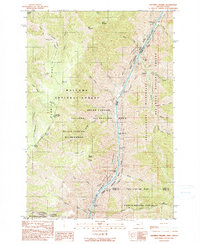
 1990 Old Timer Mtn.1990 Print · USGSThe Snake River canyon at the Idaho-Oregon border is mapped here in the late twentieth century, showing a remote landscape of rapids and high ridges. Researchers can locate riverside markers like Johnson Bar and Pine Bar, or trace backcountry routes like the High Line Trail.
 - 1991 Map of Bare Cone
 1991 Bare Cone1991 Print · USGSThe Bitterroot mountains and the Montana-Idaho border come alive in the 1990s through these detailed wilderness surveys. Trace high-country routes like the Old Nez Perce Trail (Pack) Route or locate landmarks like the Bare Cone Lookout Tower.2 unique versions available
 - 1991 Map of Dennis Mtn, 1994 Print
 1991 Dennis Mtn1994 Print · USGSIdaho’s interior wilderness remained largely inaccessible in the early 1990s, defined by the meeting of two national forests. You can trace the Pack Trail as it winds past Dennis Mtn to remote landmarks like Cabin Spring and Dennis Lakes.
 - 1991 Map of Mount Jerusalem, 1994 Print
 1991 Mount Jerusalem1994 Print · USGSThe high alpine country of the Montana-Idaho border comes alive in the early nineties, showcasing the remote crests of the Bitterroot range. Trace historic access routes along the Pack Trail to reach Canyon Lake, Bare Peak, or Jerusalem Lake.
 - 1991 Map of Blue Joint, 1994 Print
 1991 Blue Joint1994 Print · USGSThe high wilderness of the Bitterroot and Salmon national forests is captured here in the early nineties at the junction of the Idaho and Montana state lines. Researchers can trace remote high-country water sources and peaks, including Line Lake, Squaw Peak, and Two Buck Spring.
 - 1991 Map of Stripe Mountain, 1994 Print
 1991 Stripe Mountain1994 Print · USGSThe high divide of the Idaho and Lemhi county border is captured here in the early nineties, showing a primitive wilderness landscape. Trace historic backcountry routes like the Nez Perce Trail and find remote sites including Swet Lake Cabin and Base Camp Campground.
 - 1991 Map of Mt George, 1994 Print
 1991 Mt George1994 Print · USGSThe Idaho wilderness in the early nineties remains a roadless expanse defined by the junction of two national forests. Trace remote backcountry routes along the Pack Trail to historic high points like the Bad Luck Mountain Lookout Tower and Mt George.
 - 1991 Map of Wood Hump, 1994 Print
 1991 Wood Hump1994 Print · USGSThe Idaho backcountry in the early nineties remains a wilderness of steep ridges and protected rivers. You can trace the high-country landscape from the Wood Hump Lookout down to the banks of the Selway River Wild and Scenic River and the alpine waters of Thirteen Lakes.
 - 1991 Map of Gardiner Peak, 1994 Print
 1991 Gardiner Peak1994 Print · USGSThe Idaho backcountry in the early nineties is defined here by the confluence of the Selway River and the Middle Fork Clearwater River. Researchers can trace the footprints of remote outposts such as Shearer Guard Station, North Star Ranch, and Running Creek Ranch.
 - 1991 Map of Magruder Mountain, 1995 Print
 1991 Magruder Mountain1995 Print · USGSCentral Idaho’s wilderness backcountry is meticulously documented in the 1990s as it appeared before modern digital updates. You can trace the historic Nez Perce Trail past the Magruder Massacre Site and identify remote high-country water at Gold Pan Lake.
 - 1991 Map of Spot Mountain, 1995 Print
 1991 Spot Mountain1995 Print · USGSThe high Idaho backcountry of the early nineties is preserved here, centered on the heights of the Bitterroot Mountains. Trace the remote Indian Trail and Pack Trails connecting the Lookout Tower on Spot Mountain to the riverbanks.
 - 1991 Map of Mount Paloma, 1995 Print
 1991 Mount Paloma1995 Print · USGSThe Idaho backcountry at the start of the nineties is preserved here in the transition between two national forests and a massive wilderness area. Researchers can trace the Pack Trail network connecting high points like Mount Paloma and Vance Point.
 - 1991 Map of Tin Cup Lake, 1995 Print
 1991 Tin Cup Lake1995 Print · USGSThe Bitterroot Range along the Idaho-Montana border remained a high-country wilderness in the early nineties, accessible primarily by traditional routes. Backcountry travelers and historians can trace the Pack Trail past Tin Cup Lake, Patsy Ann Falls, and the Triple Lakes.
 - 1991 Map of Wylies Peak, 1995 Print
 1991 Wylies Peak1995 Print · USGSThe high country of the Selway-Bitterroot Wilderness is preserved here in the early nineties, showing a landscape defined by ridges and trails. Trace historic routes along the Pack Trail past Wylies Peak and the remote waters of Lonesome Lake.
 - 1991 Map of Three Prong Mtn, 1995 Print
 1991 Three Prong Mtn1995 Print · USGSThe high country of the Nez Perce National Forest is captured here in the early nineties, showing a primitive landscape preserved within the wilderness. Trace remote backcountry routes like the Grouse Ridge Trail to landmarks such as Three Prong Mtn and Lynx Meadows.
 - 1991 Map of Sabe Mountain, 1995 Print
 1991 Sabe Mountain1995 Print · USGSThe high ridges of Idaho in the early 1990s showcase a vast network of wilderness trails and protected forest lands. Researchers can trace historic access routes like the Nez Perce Trail and locate remote landmarks such as Sabe Mountain and Stillman Lake.
 - 1994 Map of Lowell, 1997 Print
 1994 Lowell1997 Print · USGSThe confluence of the Selway and Lochsa rivers defines this Idaho landscape in the 1990s. Researchers can locate the mountain settlement of Lowell, the Chitwood Mine, and prominent landmarks like Knife Edge Ridge and Idaho Point.
 - 1994 Map of Glenwood, 1997 Print
 1994 Glenwood1997 Print · USGSIdaho’s forest lands are captured here in the mid-1990s, where the settlement of Glenwood gives way to protected wilderness. Researchers can trace the rugged boundaries of the Clearwater National Forest or locate historical Mines and peaks like Maggie Butte.
 - 1994 Map of Weippe South, 1997 Print
 1994 Weippe South1997 Print · USGSThe Clearwater high country in the mid-1990s reveals a landscape defined by timbered ridges and the historic Lewis and Clark National Historic Trail. Researchers can trace the Nez Perce Indian Reservation Boundary and locate family-named points like Jacobson and Caribel.
 - 1994 Map of Cook Mountain, 1997 Print
 1994 Cook Mountain1997 Print · USGSThe Clearwater National Forest comes alive in the mid-1990s, showcasing the high ridges and deep drainages of the Idaho backcountry. Researchers can locate remote sites like Magary Camp and trace the paths of Weitas Creek and Crater Meadows.
Showing maps 1-25 of 173
Top cities of Idaho County
- Grangeville historical maps
- Cottonwood historical maps
- Kooskia historical maps
- Riggins historical maps
- Stities historical maps
- Ferdinand historical maps
See more
Frequently asked questions
- What are the different types of historical maps available for Idaho County?
- What is the oldest map of Idaho County?
- Where can I purchase historical maps of Idaho County for my home or office?
- Where can I download high-res historical maps of Idaho County?
- Are there historical topographic maps available for Idaho County?
- Is there historical aerial imagery available for Idaho County?
- Where are historical maps of Idaho County sourced from?