2020s Maps of Idaho County, Idaho
Explore 426 historic maps of Idaho County from the 2020s. These maps offer a rare glimpse into what life looked like during the 2020s — showing old roads, neighborhoods, homes, and landmarks that have changed or disappeared over time.
Whether you're researching your family's past, planning a metal detecting trip, or studying how Idaho County's landscape evolved across the 2020s, these high-resolution maps are a powerful tool for exploring the history of this region.
- Focus on a specific era: All maps on this page are from the 2020s, giving you a focused view of this time period.
- See what’s changed: Compare century-old streets, trails, and buildings to today's modern landscape using overlays and satellite layers.
- Research with precision: Use these maps for genealogy, historical research, land use analysis, or educational projects.
- View, download, or print: Maps are fully viewable online in high resolution, and can be downloaded or printed for your own records.
Start exploring Idaho County's history through authentic maps from the 2020s. This is your window into the past.
Idaho County, ID maps
(426)- 2020 Map of Hat Point, 2020 Print
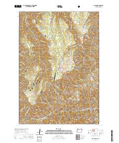 2020 Hat Point2020 Print · USGSThe Oregon-Idaho border comes alive in the modern era as the Snake Wild and Scenic River carves through the forest. Researchers can trace the high-altitude landmarks of the canyon rim, from the Memaloose Airport to the overlook at Hat Point.
 - 2020 Map of Temperance Creek, 2020 Print
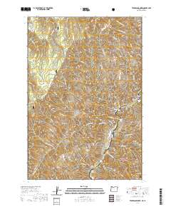 2020 Temperance Creek2020 Print · USGSThe Idaho-Oregon borderlands are revealed in this modern survey of the deep canyon country where the Snake River flows. Historians can trace remote landmarks like Mikes Cabin, the isolated Big Bar Airport, and the high reaches of Wing Ridge.
 - 2020 Map of Cactus Mountain, 2020 Print
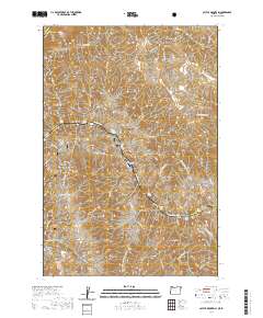 2020 Cactus Mountain2020 Print · USGSThe Snake River canyon landscape appears in great detail in this recent survey of the Idaho-Oregon border. Researchers can trace the Nez Perce National Historic Trail through the terrain past Dug Bar and the Dug Bar Airport.
 - 2020 Map of Lord Flat, 2020 Print
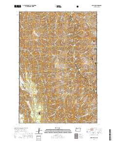 2020 Lord Flat2020 Print · USGSThe Snake River canyon corridor at the Oregon-Idaho border was mapped in detail by the USGS in the modern era. Researchers can trace the high-altitude airstrip at Lord Flat Airport, the remote meadows of Mormon Flat, and trails along Buckaroo Gulch.
 - 2020 Map of Deadhorse Ridge, 2020 Print
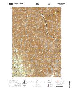 2020 Deadhorse Ridge2020 Print · USGSThe convergence of the Snake and Imnaha rivers defines this rugged borderland between Oregon and Idaho. Trace the wild river corridors through Mountain Sheep Rapids or locate high-ground landmarks like Deadhorse Butte and Cemetery Ridge.
 - 2020 Map of Squirrel Prairie, 2020 Print
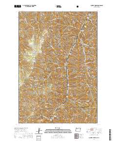 2020 Squirrel Prairie2020 Print · USGSThe Snake River canyon at the turn of the 20th century remains a place of intense topography and remote forest boundaries. Researchers can trace the river's historic landing sites like Warm Springs Bar, the mountain views from Lookout Mtn, and the high country at Squirrel Prairie.
 - 2020 Map of McConnell Mountain, 2020 Print
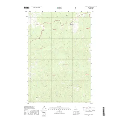 2020 McConnell Mountain2020 Print · USGSIdaho County’s high backcountry is captured in the early 2020s, showing a wilderness landscape where national forest boundaries intersect. Researchers can trace the drainages of Fish Lake Cr and W Moose Cr or locate remote landmarks like California Lake and McConnell Mtn.
 - 2020 Map of Wylies Peak, 2020 Print
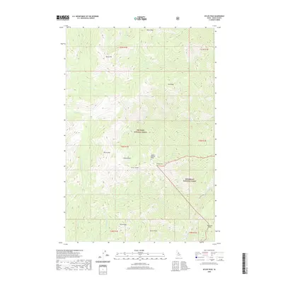 2020 Wylies Peak2020 Print · USGSThe Idaho wilderness comes into focus in this contemporary survey of the high country during the early twenty-first century. Geologists and local historians can trace the paths of Warm Springs Cr and Running Cr beneath the shadows of Diamond Rock and Wylies Peak.
 - 2020 Map of Wahoo Peak, 2020 Print
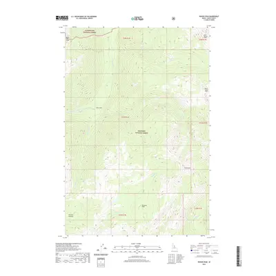 2020 Wahoo Peak2020 Print · USGSThe high Idaho wilderness of the early twenty-first century is preserved here, where the Nez Perce National Forest and Clearwater National Forest meet. Trace the steep drainages of Monument Cr and Pettibone Cr or locate alpine landmarks like Goat Heaven Peaks and Sid Lake.
 - 2020 Map of Burnt Strip Mountain, 2020 Print
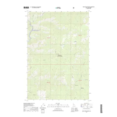 2020 Burnt Strip Mountain2020 Print · USGSIdaho County's high wilderness is documented in this 2020 survey, showing the landscape within the Bitterroot National Forest. Researchers can trace the historic Nez Perce Indian Trail and the drainage of the Middle Fork Clearwater Wild and Scenic River.
 - 2020 Map of Spot Mountain, 2020 Print
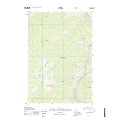 2020 Spot Mountain2020 Print · USGSIdaho County's high wilderness is documented here as it appeared in the early twenty-first century. Researchers and hikers can trace the Nez Perce Indian Trail and identify prominent peaks like Spot Mountain and Pyramid Mtn above the Selway River.
 - 2020 Map of Twin Butte, 2020 Print
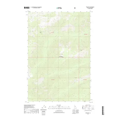 2020 Twin Butte2020 Print · USGSIdaho County’s backcountry within the Nez Perce National Forest is shown here in the early twenty-first century. Outdoorsmen and geographers can trace the high ridgelines of Pettibone Ridge and Elk Ridge or follow the complex drainages of Bear Cr and Paradise Cr.
 - 2020 Map of Dog Creek, 2020 Print
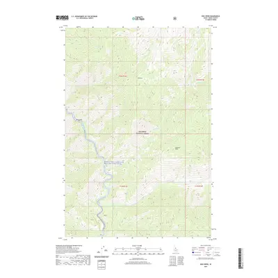 2020 Dog Creek2020 Print · USGSThe Middle Fork Clearwater River valley is shown in the 2020s, dominated by the protected lands of the Nez Perce National Forest. Researchers can trace the rugged drainage patterns of Pettibone Cr and locate riverside landmarks like Rattlesnake Bar.
 - 2020 Map of Savage Ridge, 2020 Print
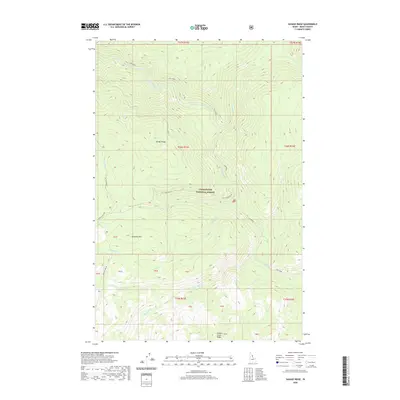 2020 Savage Ridge2020 Print · USGSIdaho County's high-country wilderness is documented here in the early twenty-first century as part of the Clearwater National Forest. You can trace backcountry routes like Hoodoo Lake Rd or follow the waters of Colt Killed Creek past Savage Ridge and Tamarack Mtn.
 - 2020 Map of Indian Postoffice, 2020 Print
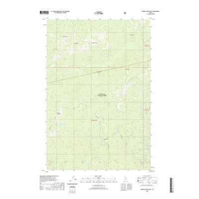 2020 Indian Postoffice2020 Print · USGSThe high country of Idaho County is captured here in the contemporary era, centered on the historic Lolo Trl. Researchers can trace the path of high-elevation landmarks like the Indian Postoffice, Spring Mtn, and Indian Postoffice Lake.
 - 2020 Map of Shissler Peak, 2020 Print
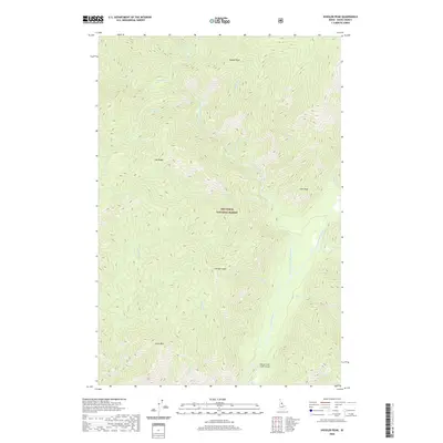 2020 Shissler Peak2020 Print · USGSThe high ridges of Idaho County are captured in this recent survey, showcasing the remote reaches of the Nez Perce National Forest. Map readers can locate high-altitude landmarks like Shissler Peak and Goat Mtn, or trace the flight path to the isolated Moose Creek USFS Airport along the river forks.
 - 2020 Map of Jeanette Mountain, 2020 Print
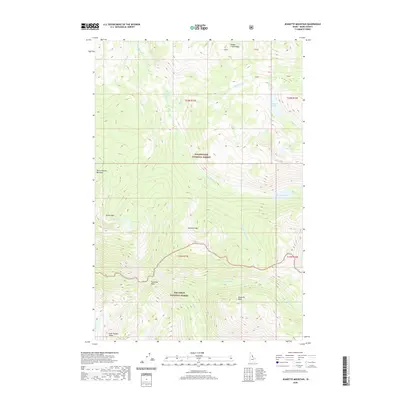 2020 Jeanette Mountain2020 Print · USGSCentral Idaho's wilderness is surveyed in this 2020 record of the intersection between two national forests. Trace the high ridges from Jeanette Mtn to the Goat Heaven Peaks and locate remote alpine waters like Hidden Lake and Corky Lake.
 - 2020 Map of Sourdough Peak, 2020 Print
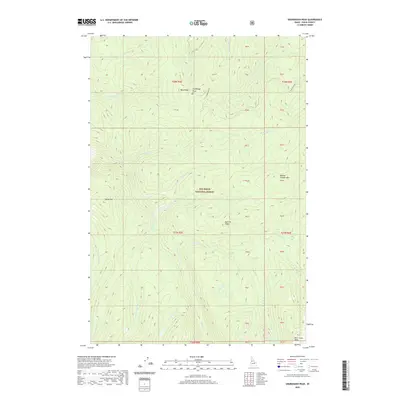 2020 Sourdough Peak2020 Print · USGSIdaho County’s high-altitude wilderness is preserved here in the early twenty-first century, showing the ridges and creek headwaters of the Nez Perce National Forest. Researchers can trace the path of Sourdough Rd and locate landmarks like Sourdough Peak, Blue Ridge, and Baking Powder Mtn.
 - 2020 Map of Boles, 2020 Print
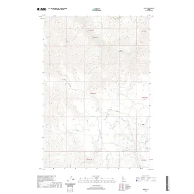 2020 Boles2020 Print · USGSUpper Idaho County reaches the heights of the Joseph Plains in the early twenty-first century, where deep canyons drop toward the Salmon River. Researchers can trace remote routes like Billy Creek Rd and locate the settlement of Boles near the rim of Gillespie Gulch.
 - 2020 Map of Weippe South, 2020 Print
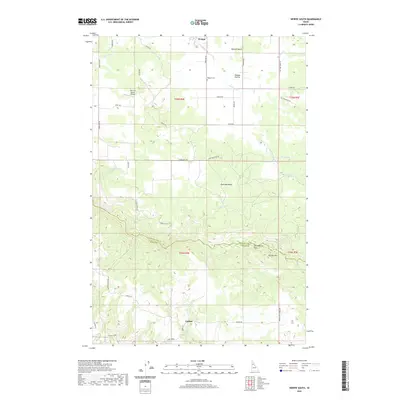 2020 Weippe South2020 Print · USGSThe high plateau of the Idaho panhandle is documented here in the early twenty-first century, centered on the historic Weippe Prairie. Local historians can trace family ties at the Weippe Cem or follow old timber and ranch routes like Adams Grade and Caribel Rd.
 - 2020 Map of Anderson Butte, 2020 Print
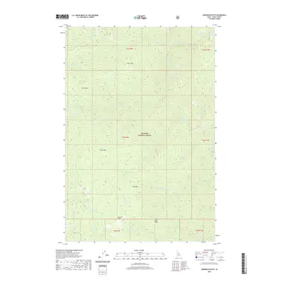 2020 Anderson Butte2020 Print · USGSIdaho County's high ridges and national forest lands are documented here in the early twenty-first century. Researchers can trace the rugged geographic network of the Nez Perce National Forest, including landmarks like Anderson Butte and Green Ridge.
 - 2020 Map of Boston Mountain, 2020 Print
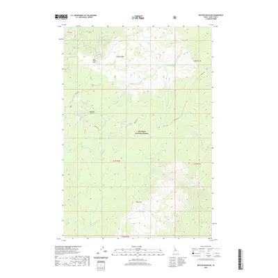 2020 Boston Mountain2020 Print · USGSIdaho County's high wilderness is documented here as it appeared in 2020, showing a landscape defined by the Nez Perce National Forest. Trace remote landmarks like Boston Mountain, Mountain Meadows, and the winding path of Montana Road.
 - 2020 Map of Woodland, 2020 Print
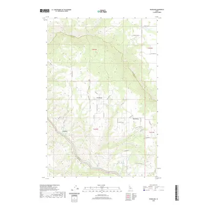 2020 Woodland2020 Print · USGSThe high plateaus of Idaho County are documented here in the early twenty-first century as the Clearwater River winds through the canyon below. Researchers can trace rural life and geography through sites like Tramway, Woodland, and the namesake Old Frasier Grade.
 - 2020 Map of Sable Hill, 2020 Print
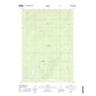 2020 Sable Hill2020 Print · USGSIdaho County at the start of the 2020s shows the isolated reaches of the Nez Perce National Forest. Researchers can trace the layout of Red River Hot Springs and the intricate trail of Red River and Simmons Ridge.
 - 2020 Map of Huddleson Bluff, 2020 Print
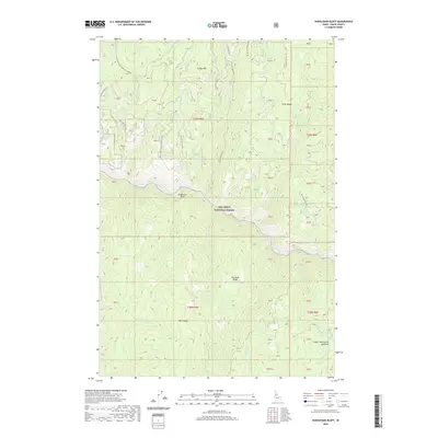 2020 Huddleson Bluff2020 Print · USGSNez Perce National Forest remains a wild landscape of steep ridges and river valleys in this 2020 Idaho County survey. Local historians and hunters can trace access routes like Peasley Creek Rd to find Bear Springs and Lower Twentymile Meadows.
Showing maps 1-25 of 426
Top cities of Idaho County
- Grangeville historical maps
- Cottonwood historical maps
- Kooskia historical maps
- Riggins historical maps
- Stities historical maps
- Ferdinand historical maps
See more
Frequently asked questions
- What are the different types of historical maps available for Idaho County?
- What is the oldest map of Idaho County?
- Where can I purchase historical maps of Idaho County for my home or office?
- Where can I download high-res historical maps of Idaho County?
- Are there historical topographic maps available for Idaho County?
- Is there historical aerial imagery available for Idaho County?
- Where are historical maps of Idaho County sourced from?