2000s (21st Century) Maps of Idaho County, Idaho
Explore 1,061 historic maps of Idaho County from the 2000s (21st Century). These maps offer a rare glimpse into what life looked like during the 2000s — showing old roads, neighborhoods, homes, and landmarks that have changed or disappeared over time.
Whether you're researching your family's past, planning a metal detecting trip, or studying how Idaho County's landscape evolved across the 2000s, these high-resolution maps are a powerful tool for exploring the history of this region.
- Focus on a specific era: All maps on this page are from the 2000s, giving you a focused view of this time period.
- See what’s changed: Compare century-old streets, trails, and buildings to today's modern landscape using overlays and satellite layers.
- Research with precision: Use these maps for genealogy, historical research, land use analysis, or educational projects.
- View, download, or print: Maps are fully viewable online in high resolution, and can be downloaded or printed for your own records.
Start exploring Idaho County's history through authentic maps from the 2000s. This is your window into the past.
Idaho County, ID maps
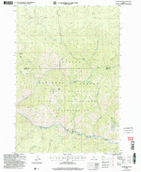
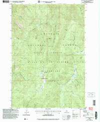
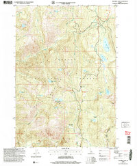
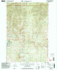
(1,061)- 2004 Map of Wolf Fang Peak, 2007 Print
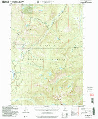
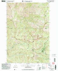 2004 Wolf Fang Peak2007 Print · USGSThe Idaho wilderness at the turn of the twenty-first century reveals a landscape of high peaks and isolated mining history. Researchers can trace early extraction sites like the McCrae Mine and Independence Mine or locate landmarks such as Wolf Fang Peak.
 - 2004 Map of Hershey Point, 2007 Print
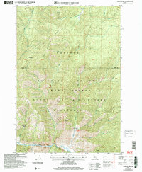
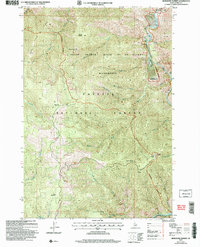
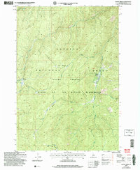
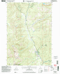
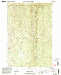 2004 Hershey Point2007 Print · USGSPayette National Forest reveals its high-country terrain in the early 2000s, defined by steep ridges and isolated mountain basins. Trace old routes through Jenkins Crossing or follow the trails leading to Hershey Point Lookout and Lava Butte Lakes.
 - 2004 Map of Warren, 2007 Print
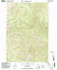
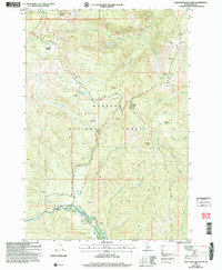
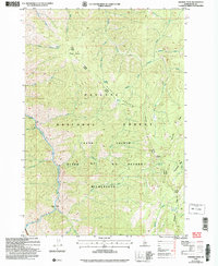
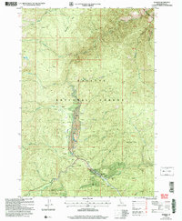 2004 Warren2007 Print · USGSWarren and its surrounding gold-mining district are captured here in the early 2000s, showing a landscape defined by decades of extraction. Researchers can trace the layout of the Warren townsite, the local Cem, and industrial features like the Rescue Mine and extensive Tailings.
 - 2004 Map of Brundage Mountain, 2007 Print
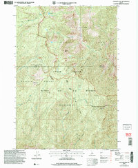
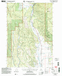
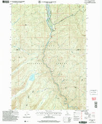
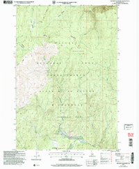
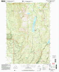 2004 Brundage Mountain2007 Print · USGSAdams and Valley counties meet at this high-elevation point in the Payette National Forest during the early 2000s. Researchers can trace alpine water routes and recreation sites from the Brundage Mtn Ski Area to Goose Lake and Granite Mtn.
 - 2004 Map of Pilot Peak, 2007 Print
 2004 Pilot Peak2007 Print · USGSThe Salmon River canyon in the Idaho backcountry was a landscape of remote outposts and high-altitude lookouts at the turn of the century. Trace the isolation of Shiefer and Hays Station or locate the historic Pony Mine and the rugged Lookout atop Pilot Peak.
 - 2004 Map of Lodgepole Creek, 2007 Print
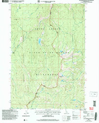
 2004 Lodgepole Creek2007 Print · USGSThe wilderness of the Payette National Forest is captured here in the early twenty-first century, centered on the Chamberlain Basin. Researchers can trace remote backcountry access via the Chamberlain Landing Field Airfield and the historic Three Blaze Trail.
 - 2004 Map of Black Tip, 2007 Print
 2004 Black Tip2007 Print · USGSThe high peaks and glacial lakes of the Payette National Forest are documented here in the early 2000s. Researchers can trace historic routes like the Wagon Road and locate remote landmarks such as Black Tip and Upper Payette Lake.
 - 2004 Map of Mosquito Peak, 2007 Print
 2004 Mosquito Peak2007 Print · USGSThe Idaho backcountry in the early 2000s remains a wilderness of ridges and meadows where the forest service maintains ancient pathways. Trace high-elevation routes along the Chamberlain Trail and identify remote locations like Cow Corrals and Mosquito Peak.
 - 2004 Map of Victor Peak, 2007 Print
 2004 Victor Peak2007 Print · USGSHigh mountain basins in the Idaho backcountry are revealed here as they appeared in the early 2000s. Researchers can trace historical routes like the Warren Road or locate isolated mining Prospect sites near Josephine Lake and Victor Peak.
 - 2004 Map of Big Creek, 2007 Print
 2004 Big Creek2007 Print · USGSCentral Idaho’s backcountry is revealed in this 2004 survey, showing the deep wilderness at the turn of the millennium. Researchers can locate remote mining sites like the Golden Hand Mine and the vital Landing Strip at Big Creek.
 - 2004 Map of Vinegar Hill, 2007 Print
 2004 Vinegar Hill2007 Print · USGSCentral Idaho in the early 2000s reveals a high-country landscape of forest and wilderness. Researchers can trace the drainage of Big Creek and locate the Cabin Creek Landing Strip near Vinegar Hill.
 - 2004 Map of Papoose Peak, 2007 Print
 2004 Papoose Peak2007 Print · USGSThe Idaho backcountry at the turn of the millennium remains a vast primitive landscape centered on the Frank Church - River of No Return Wilderness. Map collectors can trace the high-altitude trails to Papoose Peak and find the secluded Papoose Lake.
 - 2004 Map of Acorn Butte, 2007 Print
 2004 Acorn Butte2007 Print · USGSCentral Idaho's backcountry reveals its mining and wilderness history in this early 2000s study of the Salmon River country. Researchers can trace historic access routes like the Bismark Trail and locate the Snowshoe Mine or unique river landmarks like Over Easy Bar.
 - 2004 Map of Burgdorf Summit, 2007 Print
 2004 Burgdorf Summit2007 Print · USGSIn the Idaho backcountry during the early 2000s, the wilderness remained a domain of remote mining and forest lookouts. Trace historical activity at Nelson Point and Prospects near the South Fork Salmon River.
 - 2004 Map of War Eagle Mountain, 2007 Print
 2004 War Eagle Mountain2007 Print · USGSIdaho's high backcountry is captured here during the early 2000s, showcasing a landscape defined by mining heritage and Forest Service history. Researchers can locate the site of the Humboldt Mine, the remote Wallis Cabin, and the War Eagle Lookout atop its namesake peak.
 - 2004 Map of Bally Mountain, 2007 Print
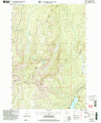
 2004 Bally Mountain2007 Print · USGSThe Salmon River mountains of central Idaho meet the agricultural basins of the New Meadows area during the early 2000s. Researchers can trace land use through the Circle C Ranch, irrigation via the Campbell Ditch, and the geothermal Hot Springs.
 - 2004 Map of Cold Meadows, 2007 Print
 2004 Cold Meadows2007 Print · USGSThe Idaho backcountry in the early 2000s remains a wild expanse of high ridges and isolated airstrips. Researchers can trace the drainages of Starvation Creek and find remote landmarks like Cold Meadows Airfield and Roots Knob.
 - 2004 Map of Wapiti Creek, 2007 Print
 2004 Wapiti Creek2007 Print · USGSIn the Idaho backcountry during the early 2000s, this wilderness area was defined by isolated outposts and high meadows. You can locate the remote Root Ranch, trace the Landing Strip, and explore the headwaters of Wapiti Creek and Whimstick Creek.
 - 2004 Map of Chicken Peak, 2007 Print
 2004 Chicken Peak2007 Print · USGSIdaho’s backcountry is captured here in the early 2000s, centered on the protected lands of the Frank Church River of No Return Wilderness. You can trace the Salmon River South Fork and locate remote landmarks like Porphyry Bridge and Chicken Peak.
 - 2004 Map of Loon Lake, 2007 Print
 2004 Loon Lake2007 Print · USGSBackcountry Idaho at the start of the millennium is captured here along the Secesh River and the high ridges of the Payette National Forest. Researchers can locate Loon Lake, the Chinook landmark, and family-named features like Enos Creek and Ruby Mountain.
 - 2004 Map of Hazard Lake, 2007 Print
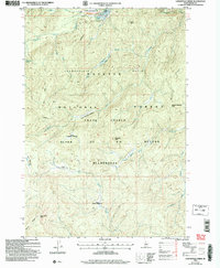
 2004 Hazard Lake2007 Print · USGSThe high backcountry of the Grass Mountains is documented here during the early 2000s, showing a landscape of alpine basins and remote forest. Trace the paths to Big Hazard Lake, Hard Creek Meadow, and the high waters of Lake Serene.
 - 2004 Map of Burgdorf, 2007 Print
 2004 Burgdorf2007 Print · USGSThe Idaho backcountry around Burgdorf and the Secesh River is captured here in the early 2000s. Genealogists and researchers can trace the historic Hot Springs resort, the Durden Mine, and high-altitude meadows like Frosty Meadow.
 - 2004 Map of Cottonwood Butte, 2007 Print
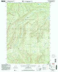
 2004 Cottonwood Butte2007 Print · USGSThe central Idaho backcountry at the start of the 2000s remains a wilderness of high peaks and alpine basins. Researchers can trace the paths of the Mountain Ranger Trail past isolated waters like Black Lake, Swamp Angel Lake, and Cottonwood Lake.
 - 2004 Map of Meadow Of Doubt, 2007 Print
 2004 Meadow Of Doubt2007 Print · USGSCentral Idaho's backcountry remains largely roadless in the early 2000s, centered on the high meadows of the Salmon River wilderness. Researchers can trace isolated outposts like Stonebraker Ranch, the Chamberlain Basin Airfield, and Beal Cabin.
 - 2004 Map of Patrick Butte, 2007 Print
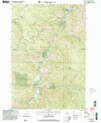
 2004 Patrick Butte2007 Print · USGSThe high backcountry of the Payette National Forest is captured here in the early 2000s, showing a landscape of subalpine lakes and ridgelines. Trace the locations of remote landmarks like the Hard Butte Lookout, Sams Throne, and the high waters of Paradise Lake.
Showing maps 1-25 of 1,061
Top cities of Idaho County
- Grangeville historical maps
- Cottonwood historical maps
- Kooskia historical maps
- Riggins historical maps
- Stities historical maps
- Ferdinand historical maps
See more
Frequently asked questions
- What are the different types of historical maps available for Idaho County?
- What is the oldest map of Idaho County?
- Where can I purchase historical maps of Idaho County for my home or office?
- Where can I download high-res historical maps of Idaho County?
- Are there historical topographic maps available for Idaho County?
- Is there historical aerial imagery available for Idaho County?
- Where are historical maps of Idaho County sourced from?