2020s Maps of Shoshone County, Idaho
Explore 146 historic maps of Shoshone County from the 2020s. These maps offer a rare glimpse into what life looked like during the 2020s — showing old roads, neighborhoods, homes, and landmarks that have changed or disappeared over time.
Whether you're researching your family's past, planning a metal detecting trip, or studying how Shoshone County's landscape evolved across the 2020s, these high-resolution maps are a powerful tool for exploring the history of this region.
- Focus on a specific era: All maps on this page are from the 2020s, giving you a focused view of this time period.
- See what’s changed: Compare century-old streets, trails, and buildings to today's modern landscape using overlays and satellite layers.
- Research with precision: Use these maps for genealogy, historical research, land use analysis, or educational projects.
- View, download, or print: Maps are fully viewable online in high resolution, and can be downloaded or printed for your own records.
Start exploring Shoshone County's history through authentic maps from the 2020s. This is your window into the past.
Shoshone County, ID maps
(146)- 2020 Map of Little Goat Mountains, 2020 Print
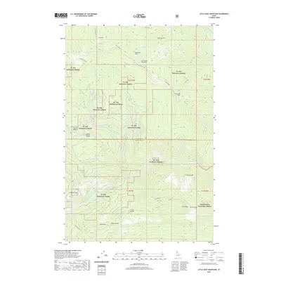 2020 Little Goat Mountains2020 Print · USGSCovers Shoshone County, including Clearwater County, United States, and other nearby areas
 - 2020 Map of Clarkia, 2020 Print
 2020 Clarkia2020 Print · USGSCovers Shoshone County, including Clarkia, Emerald Creek, and other nearby areas
 - 2020 Map of Anthony Peak, 2020 Print
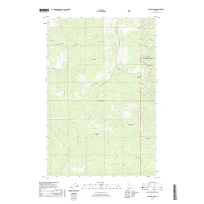 2020 Anthony Peak2020 Print · USGSCovers Shoshone County, including Clearwater County, United States, and other nearby areas
 - 2020 Map of Polaris Peak, 2020 Print
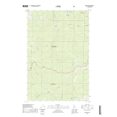 2020 Polaris Peak2020 Print · USGSCovers Shoshone County, including United States, Idaho, and other nearby areas
 - 2020 Map of Pinchot Butte, 2020 Print
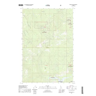 2020 Pinchot Butte2020 Print · USGSCovers Shoshone County, including Clearwater County, United States, and other nearby areas
 - 2020 Map of Spyglass Peak, 2020 Print
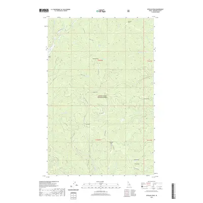 2020 Spyglass Peak2020 Print · USGSCovers Shoshone County, including United States, Idaho, and other nearby areas
 - 2020 Map of Grice Ridge, 2020 Print
 2020 Grice Ridge2020 Print · USGSCovers Shoshone County, including Clearwater County, United States, and other nearby areas
 - 2020 Map of Chamberlain Mountain, 2020 Print
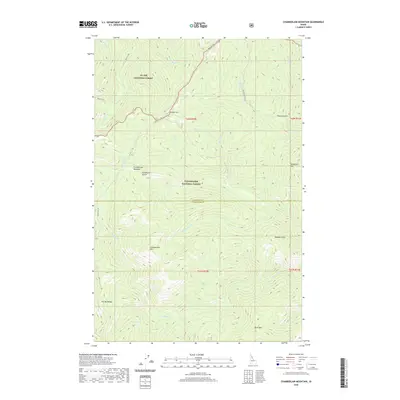 2020 Chamberlain Mountain2020 Print · USGSCovers Shoshone County, including Clearwater County, United States, and other nearby areas
 - 2020 Map of Saint Joe, 2020 Print
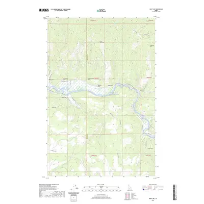 2020 Saint Joe2020 Print · USGSCovers Shoshone County, including Saint Joe, Benewah County, and other nearby areas
 - 2020 Map of Crystal Peak, 2020 Print
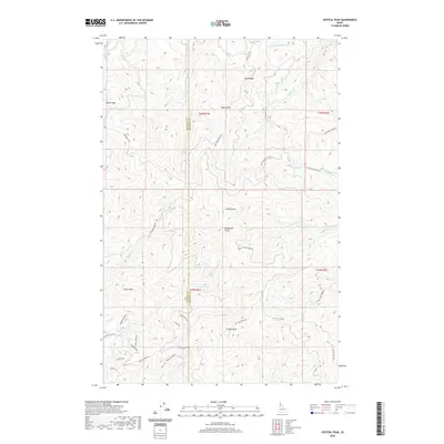 2020 Crystal Peak2020 Print · USGSCovers Shoshone County, including Benewah County, United States, and other nearby areas
 - 2020 Map of Twin Crags, 2020 Print
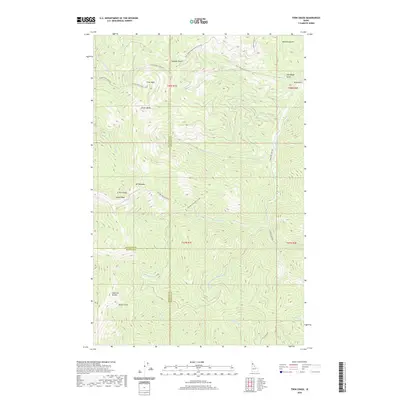 2020 Twin Crags2020 Print · USGSCovers Shoshone County, including Kootenai County, Benewah County, and other nearby areas
 - 2020 Map of Marble Creek, 2020 Print
 2020 Marble Creek2020 Print · USGSCovers Shoshone County, including Herrick, Erlmo, and other nearby areas
 - 2020 Map of Hoodoo Pass, 2020 Print
 2020 Hoodoo Pass2020 Print · USGSCovers Shoshone County, including Mineral County, Clearwater County, and other nearby areas
 - 2020 Map of Bechtel Butte, 2020 Print
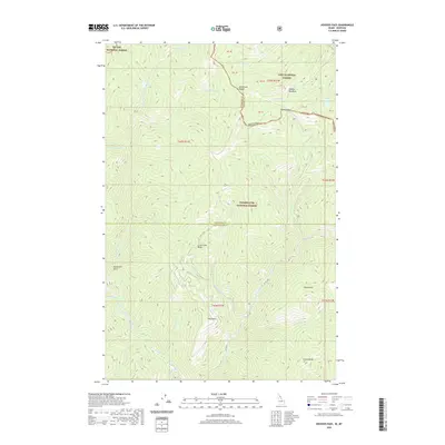
 2020 Bechtel Butte2020 Print · USGSCovers Shoshone County, including Latah County, Clearwater County, and other nearby areas
 - 2020 Map of Masonia, 2020 Print
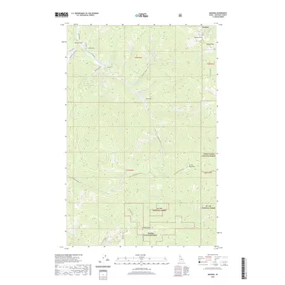 2020 Masonia2020 Print · USGSCovers Shoshone County, including Wardner, United States, and other nearby areas
 - 2020 Map of Bumblebee Peak, 2020 Print
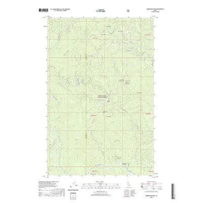 2020 Bumblebee Peak2020 Print · USGSCovers Shoshone County, including Kootenai County, United States, and other nearby areas
 - 2020 Map of Grizzly Mountain, 2020 Print
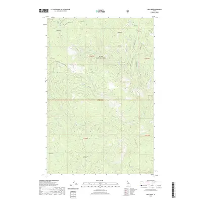
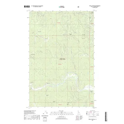 2020 Grizzly Mountain2020 Print · USGSCovers Shoshone County, including United States, Idaho, and other nearby areas
 - 2020 Map of Mallard Peak, 2020 Print
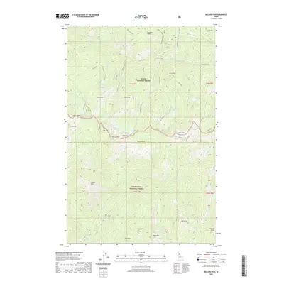 2020 Mallard Peak2020 Print · USGSCovers Shoshone County, including Clearwater County, United States, and other nearby areas
 - 2020 Map of Steamboat Creek, 2020 Print
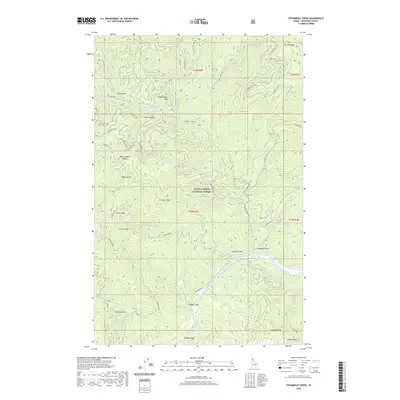 2020 Steamboat Creek2020 Print · USGSCovers Shoshone County, including United States, Idaho, and other nearby areas
 - 2020 Map of Buzzard Roost, 2020 Print
 2020 Buzzard Roost2020 Print · USGSCovers Shoshone County, including Clearwater County, United States, and other nearby areas
 - 2020 Map of Montana Peak, 2020 Print
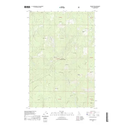 2020 Montana Peak2020 Print · USGSCovers Shoshone County, including United States, Idaho, and other nearby areas
 - 2020 Map of Peggy Peak, 2020 Print
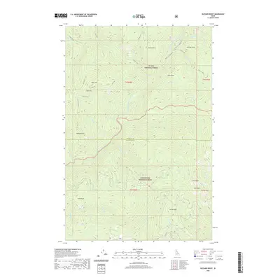
 2020 Peggy Peak2020 Print · USGSCovers Shoshone County, including United States, Idaho, and other nearby areas
 - 2020 Map of Three Sisters, 2020 Print
 2020 Three Sisters2020 Print · USGSCovers Shoshone County, including United States, Idaho, and other nearby areas
 - 2020 Map of Pond Peak, 2020 Print
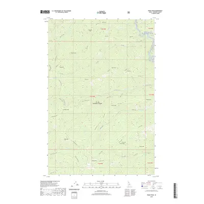
 2020 Pond Peak2020 Print · USGSCovers Shoshone County, including United States, Idaho, and other nearby areas
 - 2020 Map of Berge Peak, 2020 Print
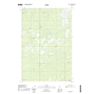
 2020 Berge Peak2020 Print · USGSCovers Shoshone County, including Mineral County, United States, and other nearby areas
Showing maps 1-25 of 146
Top cities of Shoshone County
- Kellogg historical maps
- Pinehurst historical maps
- Osburn historical maps
- Wallace historical maps
- Mullan historical maps
- Smelterville historical maps
See more
Frequently asked questions
- What are the different types of historical maps available for Shoshone County?
- What is the oldest map of Shoshone County?
- Where can I purchase historical maps of Shoshone County for my home or office?
- Where can I download high-res historical maps of Shoshone County?
- Are there historical topographic maps available for Shoshone County?
- Is there historical aerial imagery available for Shoshone County?
- Where are historical maps of Shoshone County sourced from?