2000s (21st Century) Maps of Vandalia, Illinois
Explore 10 historic maps of Vandalia from the 2000s (21st Century). These maps offer a rare glimpse into what life looked like during the 2000s — showing old roads, neighborhoods, homes, and landmarks that have changed or disappeared over time.
Whether you're researching your family's past, planning a metal detecting trip, or studying how Vandalia's landscape evolved across the 2000s, these high-resolution maps are a powerful tool for exploring the history of this region.
- Focus on a specific era: All maps on this page are from the 2000s, giving you a focused view of this time period.
- See what’s changed: Compare century-old streets, trails, and buildings to today's modern landscape using overlays and satellite layers.
- Research with precision: Use these maps for genealogy, historical research, land use analysis, or educational projects.
- View, download, or print: Maps are fully viewable online in high resolution, and can be downloaded or printed for your own records.
Start exploring Vandalia's history through authentic maps from the 2000s. This is your window into the past.
Vandalia, IL maps
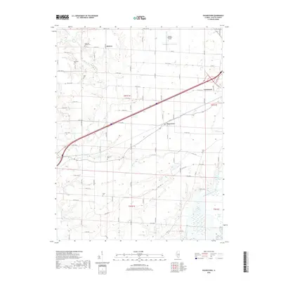
(10)- 2012 Map of Hagarstown, 2012 Print
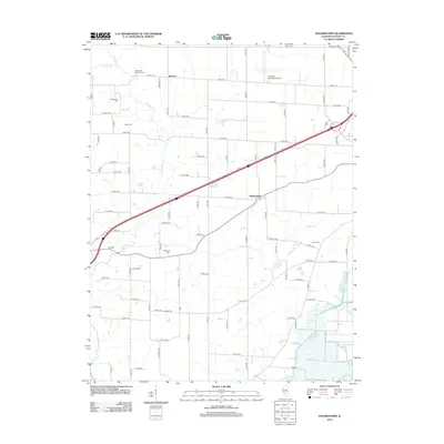 2012 Hagarstown2012 Print · USGSCovers Vandalia, including Hagarstown, Jimtown, and other nearby areas
 - 2012 Map of Vandalia, 2012 Print
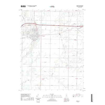
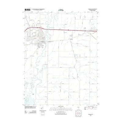 2012 Vandalia2012 Print · USGSCovers Vandalia, including Bluff City, Fayette County, and other nearby areas
 - 2015 Map of Vandalia, 2015 Print
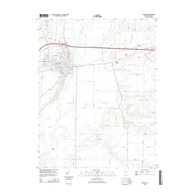 2015 Vandalia2015 Print · USGSCovers Vandalia, including Bluff City, Fayette County, and other nearby areas
 - 2015 Map of Hagarstown, 2015 Print
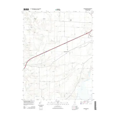 2015 Hagarstown2015 Print · USGSCovers Vandalia, including Hagarstown, Jimtown, and other nearby areas
 - 2018 Map of Hagarstown, 2018 Print
 2018 Hagarstown2018 Print · USGSCovers Vandalia, including Hagarstown, Jimtown, and other nearby areas
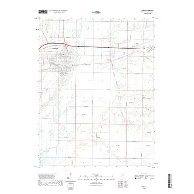
 - 2018 Map of Vandalia, 2018 Print
 2018 Vandalia2018 Print · USGSCovers Vandalia, including Bluff City, Fayette County, and other nearby areas
 - 2021 Map of Vandalia, 2021 Print
 2021 Vandalia2021 Print · USGSCovers Vandalia, including Bluff City, Fayette County, and other nearby areas
 - 2021 Map of Hagarstown, 2021 Print
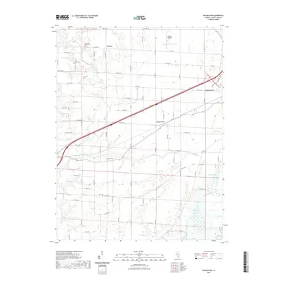 2021 Hagarstown2021 Print · USGSCovers Vandalia, including Hagarstown, Jimtown, and other nearby areas
 - 2024 Map of Hagarstown, 2024 Print
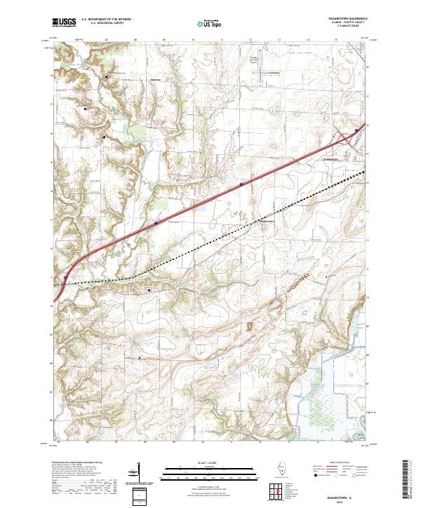 2024 Hagarstown2024 Print · USGSFayette County at the present day maintains its rural character through quiet settlements and an extensive network of country roads. Genealogists can trace family names at the Bethlehem Cem, Evans Cem, or the small community of Jimtown.
 - 2024 Map of Vandalia, 2024 Print
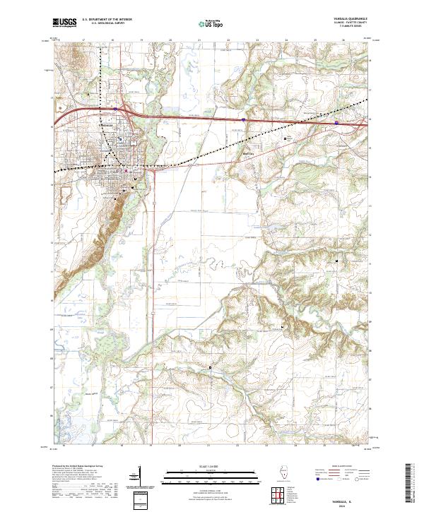 2024 Vandalia2024 Print · USGSVandalia and the Kaskaskia River valley are captured in this contemporary look at Fayette County's historic seat of power. Genealogists can trace family heritage at Old State Cem, Pinhook Cem, and the courthouse square in Vandalia.
End of results
Showing maps 1-10 of 10
Top cities near Vandalia
- Avena historical maps
- Ramsey historical maps
- Pleasant Mound historical maps
- Brownstown historical maps
- Patoka historical maps
- Sefton historical maps
See more
Frequently asked questions
- What are the different types of historical maps available for Vandalia?
- What is the oldest map of Vandalia?
- Where can I purchase historical maps of Vandalia for my home or office?
- Where can I download high-res historical maps of Vandalia?
- Are there historical topographic maps available for Vandalia?
- Is there historical aerial imagery available for Vandalia?
- Where are historical maps of Vandalia sourced from?