Old Maps of Melvin, Illinois for Academic Research
Study the evolution of Melvin with 21 high-resolution historic maps. Whether you're teaching, researching, or modeling changes in land use, these maps provide essential visual documentation of urban, environmental, and geographic change.
- Analyze long-term change: Track patterns in development, transportation, and natural features.
- Ideal for environmental or urban studies: Support academic projects with primary historical map data.
- Use in the classroom or lab: Educators and researchers rely on these maps to bring historical context to life.
These maps are a powerful tool for teaching, research, and visualizing how Melvin has changed over the decades.
Melvin, IL maps
(21)- 1947 Map of Sibley, 1965 Print
 1947 Sibley1965 Print · USGSCentral Illinois prairie life is captured here in the late 1940s, showing a landscape defined by rail junctions and rural schoolhouses. Trace the Wabash RR through Sibley or find family landmarks like Mt Hope Cem and Happy Home Sch.2 unique versions available
 - 1948 Map of Buckley
 1948 Buckley1948 Print · USGSThe Illinois prairie of the late 1940s reveals a rural landscape still revolving around the village schoolhouse and the Illinois Central rail line. Trace family roots and vanished landmarks across Piper City, Thawville, and dozens of rural schools like Shute Sch or Zahn Sch.
 - 1949 Map of Buckley
 1949 Buckley1949 Print · USGSEast-central Illinois farm country thrived alongside the Illinois Central railroad just after the war, when small towns and family farms defined the prairie. Researchers can locate dozens of country schoolhouses like Willow Grove Sch and Larkin Sch, or trace the path of the North Fork Vermilion River near Thawville.2 unique versions available
 - 1949 Map of Sibley
 1949 Sibley1949 Print · USGSThe Illinois prairie of Ford and McLean counties is captured here in the late 1940s, a time when rail lines and country schoolhouses still anchored the rural community. Genealogists can locate family names at Mt Hope Cem and trace vanished landmarks like Cropsey Sch or Allen Sch.2 unique versions available
 - 1958 Map of Peoria, 1969 Print
 1958 Peoria1969 Print · USGSCentral Illinois thrived as a hub of education and transport during the late sixties, as the new interstate system began to reshape the prairie. Genealogists and historians can trace local landmarks like Springdale Cem, Bradley University, and the sprawling grounds of Chanute AFB.4 unique versions available
 - 1961 Map of Peoria
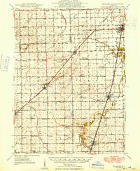
 1961 Peoria1961 Print · USGSCentral Illinois thrived at the intersection of river trade and rail power during the late fifties. Genealogists and local historians can trace the rail networks of the Illinois Central and Wabash, alongside landmarks like Chanute AFB and Weldon Springs State Park.
 - 1963 Map of Peoria
 1963 Peoria1963 Print · USGSCentral Illinois thrived as a rail and highway crossroads during the early sixties, centered on the bustling Illinois River valley. Genealogists and historians can trace the mid-century layout of Peoria, locate the grounds of Chanute Air Force Base, and follow historic lines like the Toledo Peoria and Western Railway.
 - 1985 Map of Fairbury
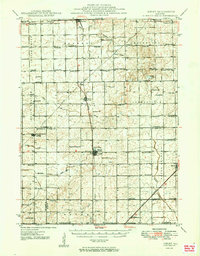
 1985 Fairbury1985 Print · USGSCentral Illinois in the mid-1980s reveals a landscape shaped by the Illinois Central Gulf rail network and the Vermilion River basin. Trace the roots of local communities from Fairbury to Pontiac, and locate landmarks like the State Correctional Center and High Chapel.2 unique versions available
 - 1986 Map of Melvin East
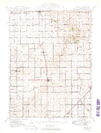
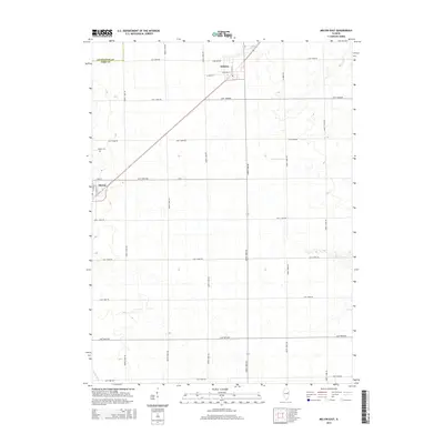
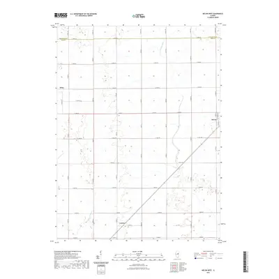
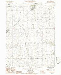 1986 Melvin East1986 Print · USGSFord County farmland in the mid-eighties shows a landscape of engineered drainage and rail-side villages. Genealogists and local historians can trace the rural sections around Roberts, Melvin, and Germanville or follow the Illinois Central Gulf tracks.
 - 1986 Map of Melvin West
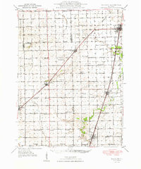
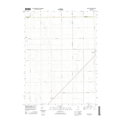
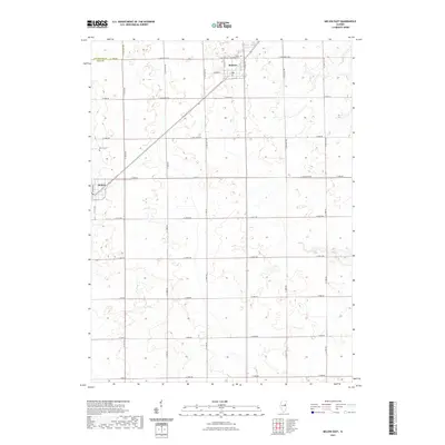
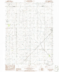 1986 Melvin West1986 Print · USGSFord County farmland in the mid-1980s is captured here at a moment of modern agricultural stability. Genealogists and local historians can trace property locations and township lines near Melvin, Sibley, and the drainage patterns of the Big Four Ditch.
 - 1990 Map of Peoria
 1990 Peoria1990 Print · USGSCentral Illinois at the start of the nineties reveals a landscape of industrial river towns and sprawling university campuses. Researchers can trace the legacy of major institutions like Chanute Air Force Base and the University of Illinois alongside regional landmarks such as Sand Ridge State Forest.
 - 2012 Map of Melvin West, 2012 Print
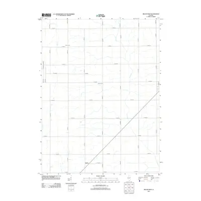 2012 Melvin West2012 Print · USGSCovers Melvin, including Sibley, Guthrie, and other nearby areas
 - 2012 Map of Melvin East, 2012 Print
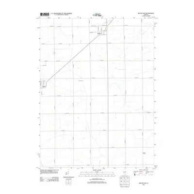 2012 Melvin East2012 Print · USGSCovers Melvin, including Roberts, Livingston County, and other nearby areas
 - 2015 Map of Melvin West, 2015 Print
 2015 Melvin West2015 Print · USGSCovers Melvin, including Sibley, Guthrie, and other nearby areas
 - 2015 Map of Melvin East, 2015 Print
 2015 Melvin East2015 Print · USGSCovers Melvin, including Roberts, Livingston County, and other nearby areas
 - 2018 Map of Melvin West, 2018 Print
 2018 Melvin West2018 Print · USGSCovers Melvin, including Sibley, Guthrie, and other nearby areas
 - 2018 Map of Melvin East, 2018 Print
 2018 Melvin East2018 Print · USGSCovers Melvin, including Roberts, Livingston County, and other nearby areas
 - 2021 Map of Melvin East, 2021 Print
 2021 Melvin East2021 Print · USGSCovers Melvin, including Roberts, Livingston County, and other nearby areas
 - 2021 Map of Melvin West, 2021 Print
 2021 Melvin West2021 Print · USGSCovers Melvin, including Sibley, Guthrie, and other nearby areas
 - 2024 Map of Melvin East, 2024 Print
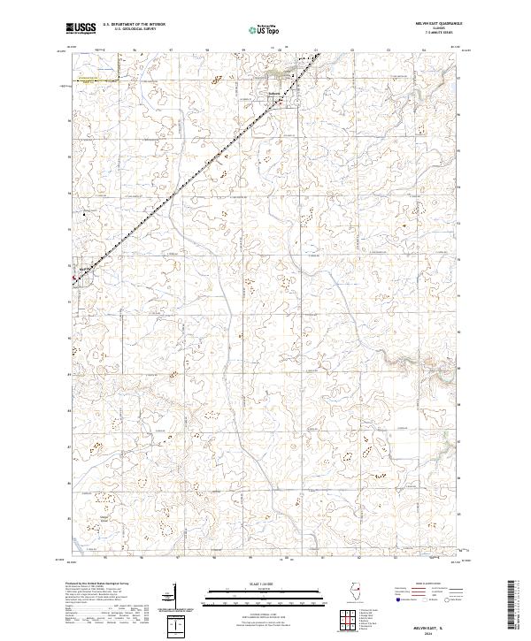 2024 Melvin East2024 Print · USGSFord County agriculture and small-town life are captured here in the early twenty-first century, showing the enduring grid of the Illinois prairie. Genealogists and local historians can trace the grounds of Lyman Township Cem, the crossroads at Roberts, and the rural area of Sharps Grove.
 - 2024 Map of Melvin West, 2024 Print
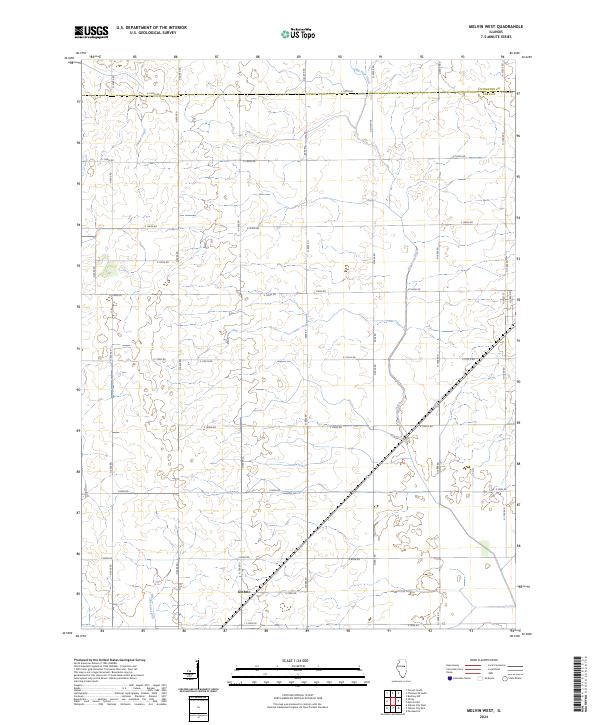 2024 Melvin West2024 Print · USGSFord County farmland is captured in recent detail, showing the rural landscape near the border with Livingston County. Genealogists and local historians can trace the area surrounding Guthrie and the drainage of Indian Creek and Dickerson Slough.
End of results
Showing maps 1-21 of 21
Top cities near Melvin
- Paxton historical maps
- Gibson City historical maps
- Gilman historical maps
- Onarga historical maps
- Chatsworth historical maps
- Forrest historical maps
See more
Frequently asked questions
- What are the different types of historical maps available for Melvin?
- What is the oldest map of Melvin?
- Where can I purchase historical maps of Melvin for my home or office?
- Where can I download high-res historical maps of Melvin?
- Are there historical topographic maps available for Melvin?
- Is there historical aerial imagery available for Melvin?
- Where are historical maps of Melvin sourced from?