2020s Maps of Lee County, Illinois
Explore 52 historic maps of Lee County from the 2020s. These maps offer a rare glimpse into what life looked like during the 2020s — showing old roads, neighborhoods, homes, and landmarks that have changed or disappeared over time.
Whether you're researching your family's past, planning a metal detecting trip, or studying how Lee County's landscape evolved across the 2020s, these high-resolution maps are a powerful tool for exploring the history of this region.
- Focus on a specific era: All maps on this page are from the 2020s, giving you a focused view of this time period.
- See what’s changed: Compare century-old streets, trails, and buildings to today's modern landscape using overlays and satellite layers.
- Research with precision: Use these maps for genealogy, historical research, land use analysis, or educational projects.
- View, download, or print: Maps are fully viewable online in high resolution, and can be downloaded or printed for your own records.
Start exploring Lee County's history through authentic maps from the 2020s. This is your window into the past.
Lee County, IL maps
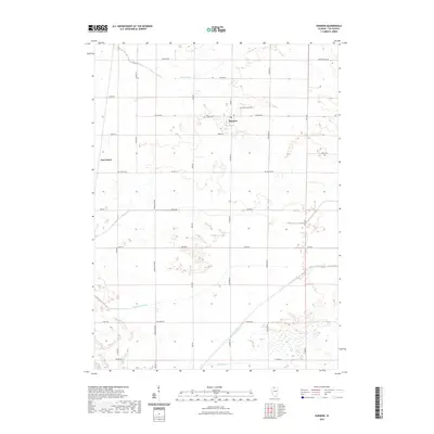
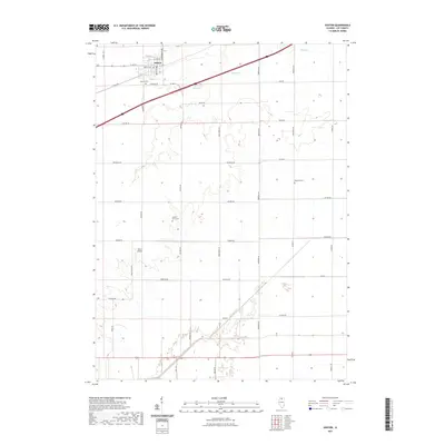
(52)- 2021 Map of Creston, 2021 Print
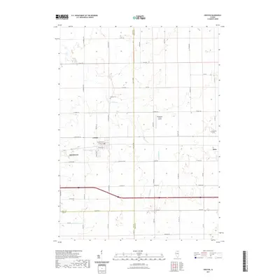 2021 Creston2021 Print · USGSCovers Lee County, including Rochelle, Malta, and other nearby areas
 - 2021 Map of Lee, 2021 Print
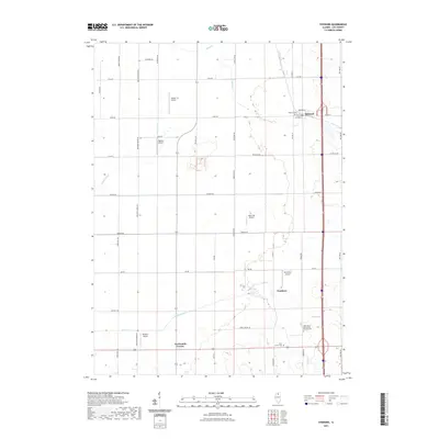
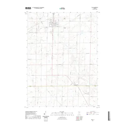
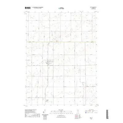
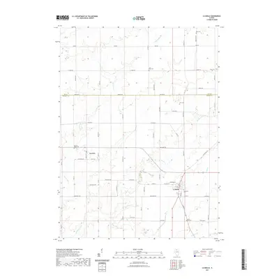
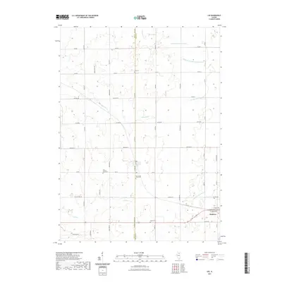 2021 Lee2021 Print · USGSCovers Lee County, including Shabbona, Lee, and other nearby areas
 - 2021 Map of Paw Paw, 2021 Print
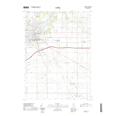
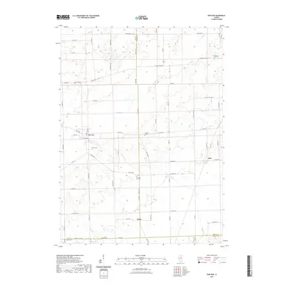 2021 Paw Paw2021 Print · USGSCovers Lee County, including Paw Paw, Paw Paw Township, and other nearby areas
 - 2021 Map of Rochelle, 2021 Print
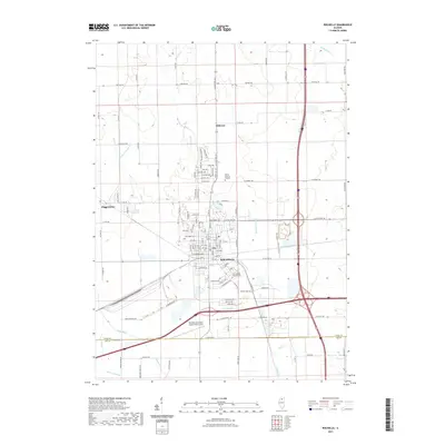 2021 Rochelle2021 Print · USGSCovers Lee County, including Rochelle, Hillcrest, and other nearby areas
 - 2021 Map of Harmon, 2021 Print
 2021 Harmon2021 Print · USGSCovers Lee County, including Harmon, Harmon Township, and other nearby areas
 - 2021 Map of Steward, 2021 Print
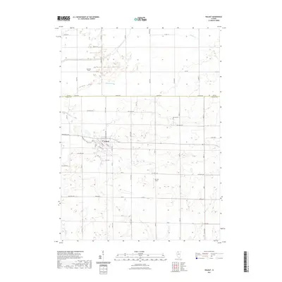
 2021 Steward2021 Print · USGSCovers Lee County, including Steward, Reynolds Township, and other nearby areas
 - 2021 Map of Mendota West, 2021 Print
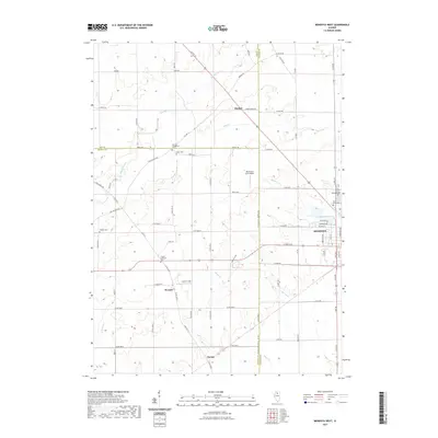 2021 Mendota West2021 Print · USGSCovers Lee County, including Mendota, Clarion, and other nearby areas
 - 2021 Map of Hahnaman, 2021 Print
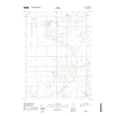 2021 Hahnaman2021 Print · USGSCovers Lee County, including Hahnaman, Harmon Township, and other nearby areas
 - 2021 Map of Polo, 2021 Print
 2021 Polo2021 Print · USGSCovers Lee County, including Polo, Woosung, and other nearby areas
 - 2021 Map of Dixon West, 2021 Print
 2021 Dixon West2021 Print · USGSCovers Lee County, including Dixon, Palmyra, and other nearby areas
 - 2021 Map of Dixon East, 2021 Print
 2021 Dixon East2021 Print · USGSCovers Lee County, including Dixon, Amboy, and other nearby areas
 - 2021 Map of Ohio, 2021 Print
 2021 Ohio2021 Print · USGSCovers Lee County, including Ohio, Kasbeer, and other nearby areas
 - 2021 Map of Hazelhurst, 2021 Print
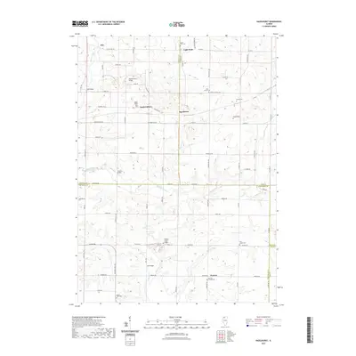 2021 Hazelhurst2021 Print · USGSCovers Lee County, including Eagle Point, Woosung Township, and other nearby areas
 - 2021 Map of Walton, 2021 Print
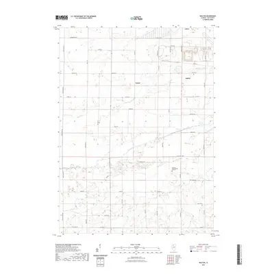 2021 Walton2021 Print · USGSCovers Lee County, including Amboy, Amboy Township, and other nearby areas
 - 2021 Map of La Moille, 2021 Print
 2021 La Moille2021 Print · USGSCovers Lee County, including La Moille, Van Orin, and other nearby areas
 - 2021 Map of Amboy, 2021 Print
 2021 Amboy2021 Print · USGSCovers Lee County, including Amboy, Lee Center, and other nearby areas
 - 2021 Map of Compton, 2021 Print
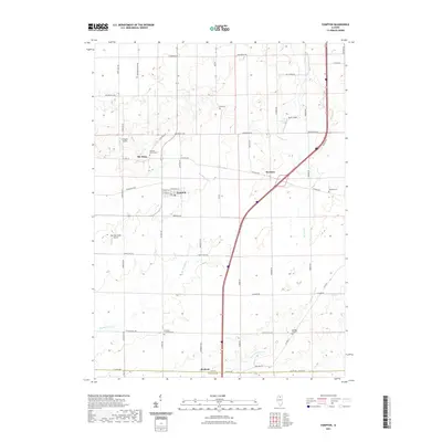 2021 Compton2021 Print · USGSCovers Lee County, including Compton, Mendota Township, and other nearby areas
 - 2021 Map of Franklin Grove, 2021 Print
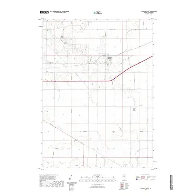 2021 Franklin Grove2021 Print · USGSCovers Lee County, including Franklin Grove, Ashton Township, and other nearby areas
 - 2021 Map of Grand Detour, 2021 Print
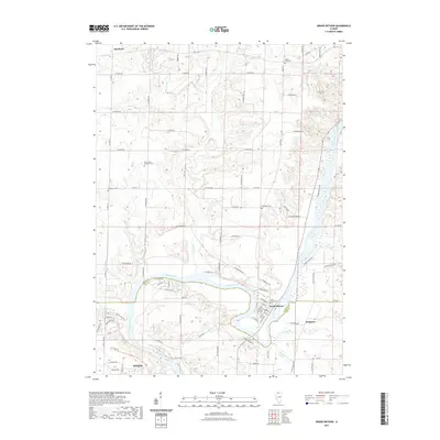 2021 Grand Detour2021 Print · USGSCovers Lee County, including Dixon, Grand Detour, and other nearby areas
 - 2021 Map of Daysville, 2021 Print
 2021 Daysville2021 Print · USGSCovers Lee County, including Oregon, Ashton Township, and other nearby areas
 - 2021 Map of Walnut, 2021 Print
 2021 Walnut2021 Print · USGSCovers Lee County, including Walnut, East Grove Township, and other nearby areas
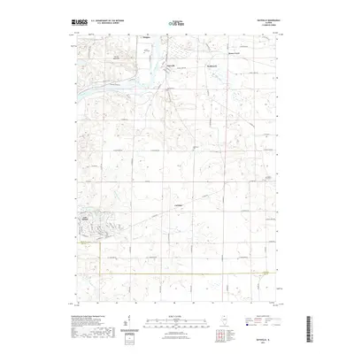
 - 2021 Map of Chana, 2021 Print
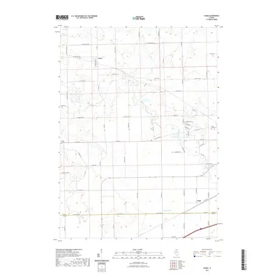 2021 Chana2021 Print · USGSCovers Lee County, including Reynolds Township, Ashton Township, and other nearby areas
 - 2021 Map of New Bedford, 2021 Print
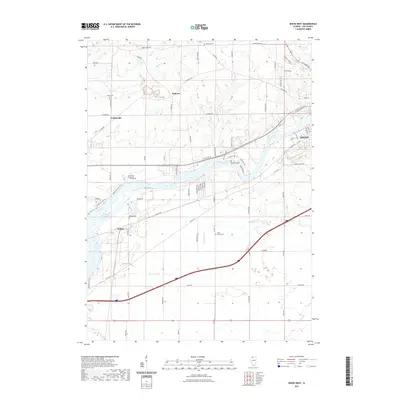
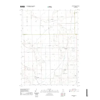 2021 New Bedford2021 Print · USGSCovers Lee County, including New Bedford, Deer Grove, and other nearby areas
 - 2021 Map of Sublette, 2021 Print
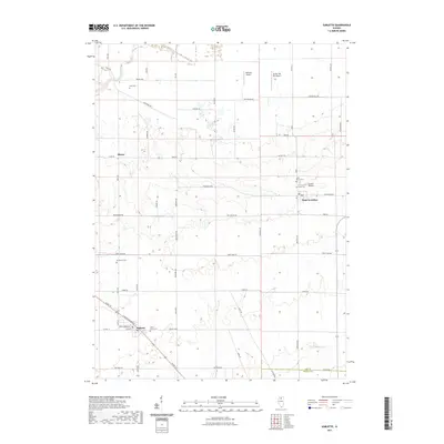 2021 Sublette2021 Print · USGSCovers Lee County, including Sublette, West Brooklyn, and other nearby areas
 - 2021 Map of Ashton, 2021 Print
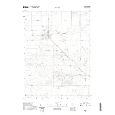
 2021 Ashton2021 Print · USGSCovers Lee County, including Ashton, Reynolds Township, and other nearby areas
Showing maps 1-25 of 52
Frequently asked questions
- What are the different types of historical maps available for Lee County?
- What is the oldest map of Lee County?
- Where can I purchase historical maps of Lee County for my home or office?
- Where can I download high-res historical maps of Lee County?
- Are there historical topographic maps available for Lee County?
- Is there historical aerial imagery available for Lee County?
- Where are historical maps of Lee County sourced from?