2020s Maps of Pike County, Illinois
Explore 47 historic maps of Pike County from the 2020s. These maps offer a rare glimpse into what life looked like during the 2020s — showing old roads, neighborhoods, homes, and landmarks that have changed or disappeared over time.
Whether you're researching your family's past, planning a metal detecting trip, or studying how Pike County's landscape evolved across the 2020s, these high-resolution maps are a powerful tool for exploring the history of this region.
- Focus on a specific era: All maps on this page are from the 2020s, giving you a focused view of this time period.
- See what’s changed: Compare century-old streets, trails, and buildings to today's modern landscape using overlays and satellite layers.
- Research with precision: Use these maps for genealogy, historical research, land use analysis, or educational projects.
- View, download, or print: Maps are fully viewable online in high resolution, and can be downloaded or printed for your own records.
Start exploring Pike County's history through authentic maps from the 2020s. This is your window into the past.
Pike County, IL maps
(47)- 2021 Map of Rockport, 2021 Print
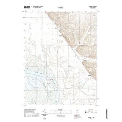 2021 Rockport2021 Print · USGSPike County river lands meet the bluffs in the early twenty-first century, showing a landscape defined by the Mississippi River and its managed backwaters. Researchers can trace family history through several burial sites like Samuel Taylor Cem and Rockport Cem or locate the various ditches and basins like The Sny.
 - 2021 Map of Barry, 2021 Print
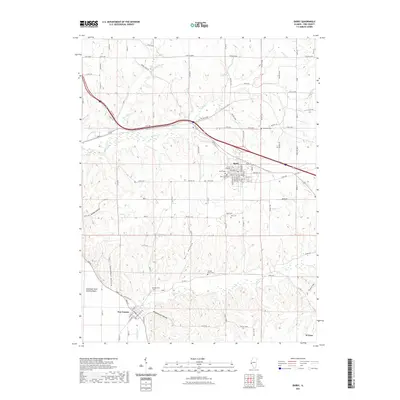 2021 Barry2021 Print · USGSPike County farmland and deep hollows are captured here during the early twenty-first century. Researchers can locate numerous family burial grounds including Shearer Cem and Stoney Point Cem or trace the winding paths of Bull Run and Beebe Cr.
 - 2021 Map of Richfield, 2021 Print
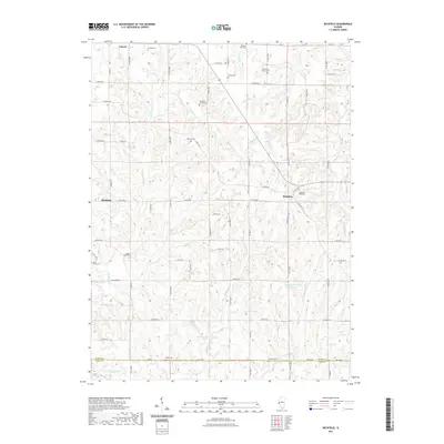 2021 Richfield2021 Print · USGSThe Adams and Pike county line comes into focus in this recent survey of rural Illinois. Genealogists can trace family heritage across a remarkable number of small burial sites, including the Klarner Cem, Rice Family Cem, and Potter Cem.
 - 2021 Map of Payson, 2021 Print
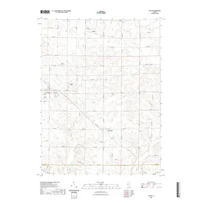 2021 Payson2021 Print · USGSSouthern Adams County is captured here in the early twenty-first century, showing the established rural communities of Payson and Plainville. Researchers can locate numerous family burial grounds including Shiloh Cem, Tandy Cem, and the Lock Family Cem.
 - 2021 Map of Bedford, 2021 Print
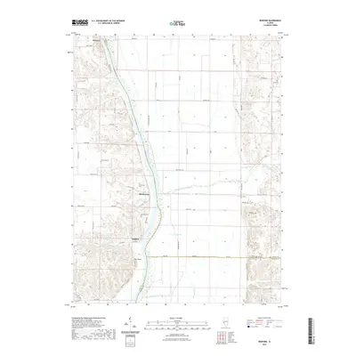 2021 Bedford2021 Print · USGSThe Illinois River valley in the early twenty-first century remains defined by its waterfront hamlets and bluff-side terrain. Genealogists can trace family heritage at Adams Family Cem or Bedford Cem, while exploring landmarks like Pilot Knob and Morgan Slough.
 - 2021 Map of Pleasant Hill East, 2021 Print
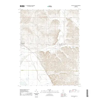 2021 Pleasant Hill East2021 Print · USGSThe bluffs and hollows of Pike County are captured here just as the new decade began, showing the rural settlements of Pleasant Hill and Nebo. Genealogists can locate numerous family burial sites including Hartsock Cem, Neese Cem, and Hutton Cem across this dissected landscape.
 - 2021 Map of Perry East, 2021 Print
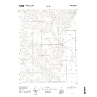 2021 Perry East2021 Print · USGSThe rural borderlands of Brown and Pike Counties are captured here in the early twenty-first century as the landscape transitions toward the Illinois River. Researchers can trace family history through numerous small burial sites like Hambaugh Cem, Rusk Cem, and Martin Cem along the winding McKee Creek.
 - 2021 Map of Perry West, 2021 Print
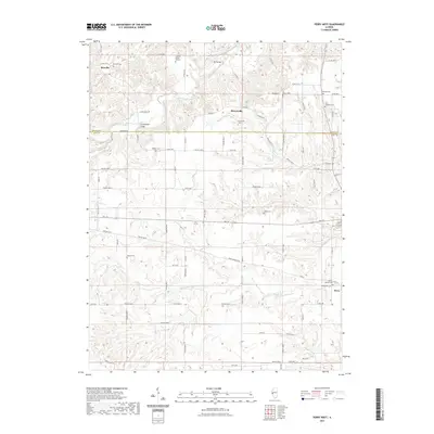 2021 Perry West2021 Print · USGSThe borderlands of Brown and Pike counties are captured here in the early twenty-first century, showing a rural landscape defined by the winding Middle Fork McKee Cr. Genealogists can trace deep local roots through numerous sites like Seaborn Cem, Taylor Cem, and the Jackson Burial Ground.
 - 2021 Map of Pearl West, 2021 Print
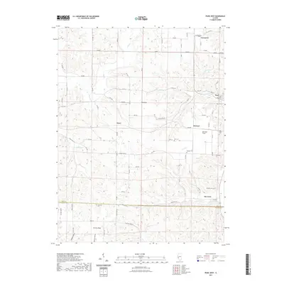 2021 Pearl West2021 Print · USGSThe Pike and Calhoun county line south of Pearl comes to life in this contemporary survey of Illinois' river-bluff country. Researchers can locate numerous family and community burial sites like Kessinger Cem and Humphrey Cem tucked among landmarks like Tick Ridge.
 - 2021 Map of Baylis, 2021 Print
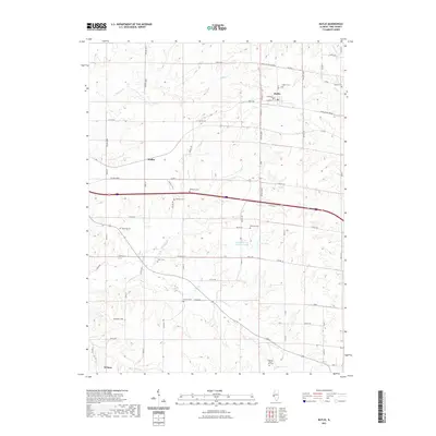 2021 Baylis2021 Print · USGSPike County's rural townships are documented here during the early twenty-first century, showing a landscape deeply rooted in family history and farming. Genealogists can trace lineage through numerous burial sites including Starkey Cem, Shaw Cem, and Pursley Cem.
 - 2021 Map of Griggsville, 2021 Print
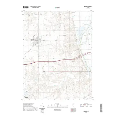 2021 Griggsville2021 Print · USGSPike County's river-bluff landscape is captured here in the modern era, centered on the historic grid of Griggsville. Genealogists can trace family names at rural sites like Uriah Elledge Cem or Valley City Cem, while hunters of old topography can explore Napoleon Hollow.
 - 2021 Map of New Salem, 2021 Print
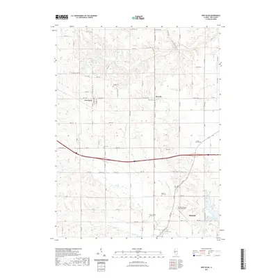 2021 New Salem2021 Print · USGSWestern Illinois farm country is captured here during the early 2020s, spanning the rural space between the townships of New Salem and Pittsfield. Genealogists can trace family burial grounds across the landscape, including Swiggett Cem, Gray Cem, and Pleasant Grove Cem.
 - 2021 Map of Pittsfield, 2021 Print
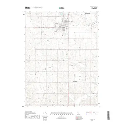 2021 Pittsfield2021 Print · USGSPike County's seat and surrounding rural townships are shown in great detail during the early twenty-first century. Researchers can locate numerous small family burial grounds and parish sites such as Saint Stephens Episcopal Cem, Burbridge Cem, and Johnson Cem.
 - 2021 Map of Fishhook, 2021 Print
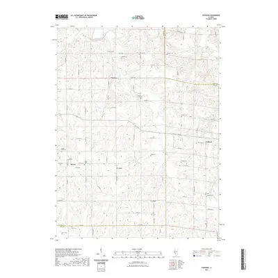 2021 Fishhook2021 Print · USGSThe rural corners of Adams, Brown, and Pike Counties appear in detail in this study of the Illinois countryside. Genealogists can trace family legacy across Beverly and Fishhook through landmarks like Mound Prairie Cem and Woodland Cem.
 - 2021 Map of Pearl East, 2021 Print
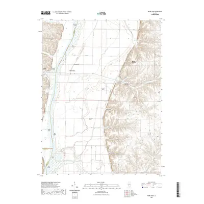 2021 Pearl East2021 Print · USGSThe Illinois River valley comes alive in this contemporary survey of the Pike and Greene County borderlands. Genealogists can locate family sites at Shelton Cem and Kinser Cem or trace old river landmarks like Bridge Island.
 - 2021 Map of Pleasant Hill West, 2021 Print
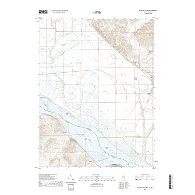 2021 Pleasant Hill West2021 Print · USGSThe Mississippi River bottoms along the Illinois and Missouri border are revealed here in the early twenty-first century. Genealogists and historians can trace local family landmarks like Galloway Cem and Crescent Heights Cem or the riverfront settlements of Clarksville and McIntosh.
 - 2021 Map of Summer Hill, 2021 Print
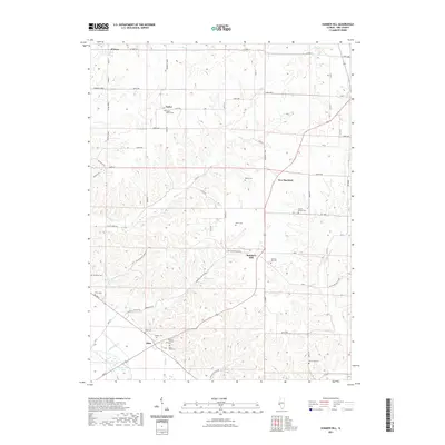 2021 Summer Hill2021 Print · USGSPike County at the start of the 2020s shows a landscape of deep hollows and river bottomlands near the Mississippi. Genealogists can trace family heritage through numerous rural burial sites like Summer Hill Cem and the Mooney Marion Cem near Atlas.
 - 2021 Map of Florence, 2021 Print
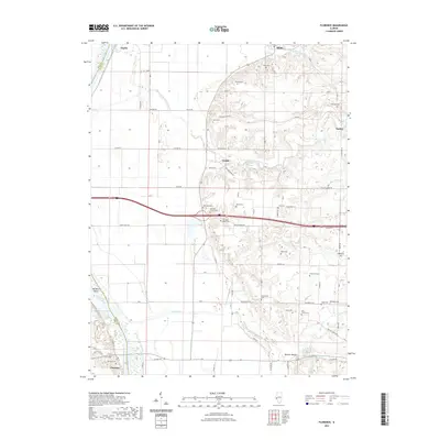 2021 Florence2021 Print · USGSScott County's riverfront and upland prairies are captured in this recent survey, showing the enduring rural layout of the Illinois River valley. Researchers can locate numerous family burial sites like the Mitchell Family Cemetery and landmarks such as Big Blue Island or Browns Mound.
 - 2021 Map of Milton, 2021 Print
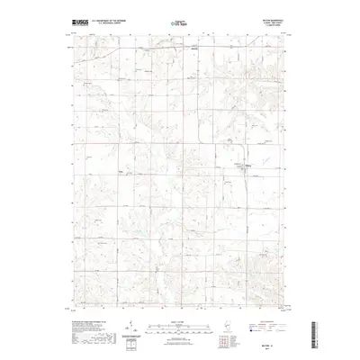 2021 Milton2021 Print · USGSPike County's rural landscape is detailed in this recent survey of the area surrounding the villages of Milton and Detroit. Genealogists can locate numerous family burial sites, including Cox Family Cem, Pettis Cem, and Thurman Cem near the banks of Bay Cr.
 - 2021 Map of Marblehead, 2021 Print
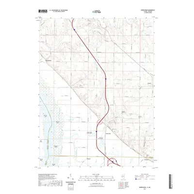 2021 Marblehead2021 Print · USGSWestern Adams County is shown here in the early twenty-first century, where the river plains meet the Illinois bluffs. Genealogists can locate several family and community burial grounds, including Newmaw Family Cem and Craigtown Cem near Marblehead.
 - 2021 Map of Hull, 2021 Print
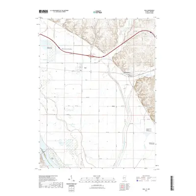 2021 Hull2021 Print · USGSThe river bottomlands of Pike County are shown here in the modern era, where complex drainage systems meet the bluffs. Researchers can locate numerous family burial grounds like Journey Cem and Gard Cem or trace waterways like The Sny and Hadley Cr.
 - 2021 Map of Meredosia, 2021 Print
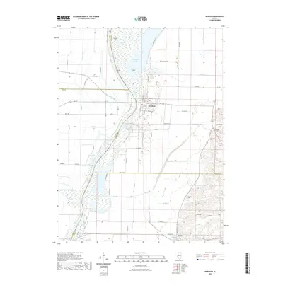 2021 Meredosia2021 Print · USGSThe Illinois River valley comes into sharp focus here during the early 2020s, showing the flood-protected bottomlands and river towns. Genealogists can trace family heritage through numerous burial sites like Oakland Cem, Naples Cem, and McCaleb Cem.
 - 2021 Map of Louisiana, 2021 Print
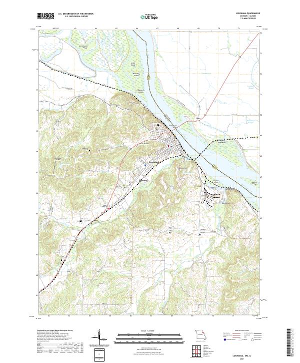 2021 Louisiana2021 Print · USGSLouisiana and the Mississippi River bottoms are captured here in the early twenty-first century. Family historians can trace local landmarks like Riverview Cem, Bethany Cem, and the river crossing at the Champ Clark Bridge.
 - 2021 Map of Ashburn, 2021 Print
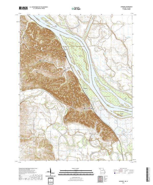 2021 Ashburn2021 Print · USGSThe Mississippi River bottoms of Pike County come into focus in this contemporary survey of the Missouri-Illinois border. Local historians can trace the relationship between river communities like Ashburn and Busch and family landmarks such as Jolly Cem and Pickerton Hill.
 - 2021 Map of Hannibal East, 2021 Print
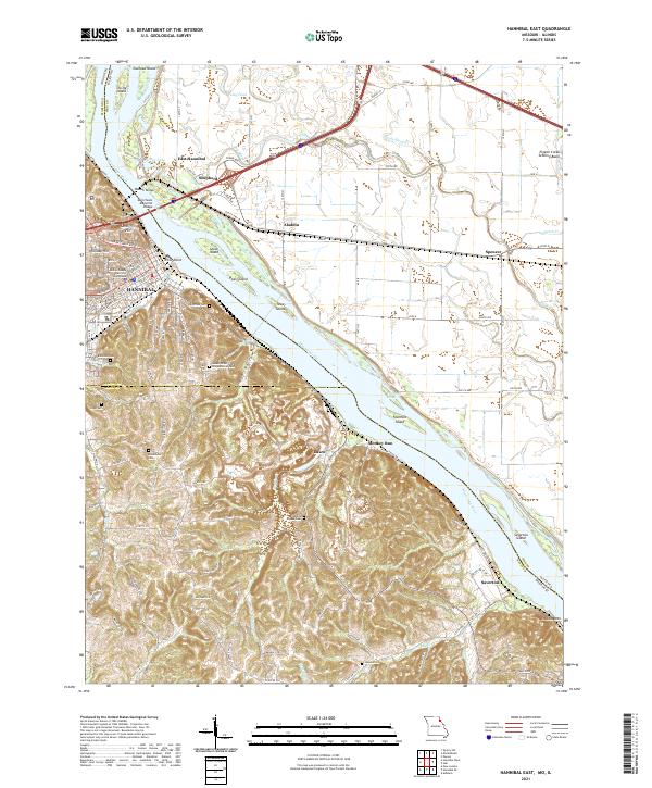 2021 Hannibal East2021 Print · USGSThe riverfront at Hannibal and the rugged bluffs of Ralls County are captured here in the early twenty-first century. Family historians can locate numerous burial grounds like Riverside Cem and Marble Creek Cem or trace the old river roads near Saverton.
Showing maps 1-25 of 47
Top cities of Pike County
- Pittsfield historical maps
- Barry historical maps
- Griggsville historical maps
- Pleasant Hill historical maps
- Atlas historical maps
- Montezuma historical maps
See more
Frequently asked questions
- What are the different types of historical maps available for Pike County?
- What is the oldest map of Pike County?
- Where can I purchase historical maps of Pike County for my home or office?
- Where can I download high-res historical maps of Pike County?
- Are there historical topographic maps available for Pike County?
- Is there historical aerial imagery available for Pike County?
- Where are historical maps of Pike County sourced from?