1980s Maps of Shelby County, Illinois
Explore 32 historic maps of Shelby County from the 1980s. These maps offer a rare glimpse into what life looked like during the 1980s — showing old roads, neighborhoods, homes, and landmarks that have changed or disappeared over time.
Whether you're researching your family's past, planning a metal detecting trip, or studying how Shelby County's landscape evolved across the 1980s, these high-resolution maps are a powerful tool for exploring the history of this region.
- Focus on a specific era: All maps on this page are from the 1980s, giving you a focused view of this time period.
- See what’s changed: Compare century-old streets, trails, and buildings to today's modern landscape using overlays and satellite layers.
- Research with precision: Use these maps for genealogy, historical research, land use analysis, or educational projects.
- View, download, or print: Maps are fully viewable online in high resolution, and can be downloaded or printed for your own records.
Start exploring Shelby County's history through authentic maps from the 1980s. This is your window into the past.
Shelby County, IL maps
(32)- 1980 Map of Middlesworth
 1980 Middlesworth1980 Print · USGSThe rural landscapes at the Menard and Logan County line are captured here in the late twentieth century. Researchers can trace family history at Irish Grove Cemetery and Walnut Ridge Cemetery or follow the route of the Old Grade Railroad.
 - 1981 Map of Stewardson East, 1982 Print
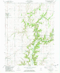 1981 Stewardson East1982 Print · USGSThe Shelby County prairie in the early eighties is defined by the rail lines and river bends between Strasburg and Stewardson. Trace family history through Rincker Cem, Gaskill Chapel, and the rural crossroads of Trowbridge.
 - 1981 Map of Fancher, 1982 Print
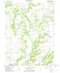 1981 Fancher1982 Print · USGSShelby County farmland and the winding Kaskaskia River valley are captured here in the early eighties. Local historians can trace rail-side settlements like Fancher and Clarksburg or locate historic sites like the Thompson Mill Covered Bridge and Gallagher Chapel Cem.
 - 1981 Map of Shelbyville, 1982 Print
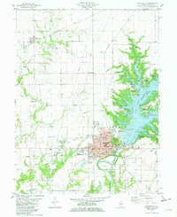 1981 Shelbyville1982 Print · USGSShelbyville and the Kaskaskia River valley are shown in the early eighties following the creation of Lake Shelbyville. Trace local history through numerous burial sites like Glenwood Cem and Washington Cem, or locate landmarks like Williamson Airfield.2 unique versions available
 - 1981 Map of Lakewood, 1982 Print
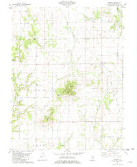 1981 Lakewood1982 Print · USGSShelby County’s rural townships are captured here in the early eighties, showing a landscape of family farms and creek-side settlements. Genealogists can trace local heritage through numerous burial sites like Eiler Cem and landmarks such as Williamsburg Hill.
 - 1981 Map of Windsor, 1982 Print
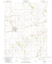 1981 Windsor1982 Print · USGSShelby and Moultrie counties are captured here in the early eighties, centered on the railroad town of Windsor. Local historians can trace family roots through numerous remote burial sites like Lookout Point Cem, Cochran Cem, and the rural community of Sexson Corner.
 - 1981 Map of Tower Hill, 1982 Print
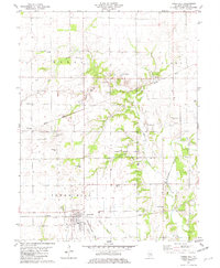 1981 Tower Hill1982 Print · USGSTower Hill and the surrounding Shelby County farmland are shown here in the early eighties as a busy intersection of rail lines and rural hamlets. Researchers can trace the paths of the Baltimore and Ohio and locate local landmarks like Armstrong Cem and Knobs Ch.
 - 1981 Map of Stewardson West, 1982 Print
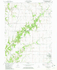 1981 Stewardson West1982 Print · USGSShelby County's rural townships and conservation lands are captured here during the early eighties. Genealogists and local historians can trace the foundations of Stewardson and Mode or locate ancestral sites like Wesley Chapel and Rockford Cem.
 - 1981 Map of Middlesworth, 1982 Print
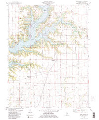 1981 Middlesworth1982 Print · USGSShelby County enters the 1980s with the massive Lake Shelbyville reservoir reshaping the rural landscape. Genealogists and historians can locate over a dozen burial sites including Caldwell Cem and Oak Grove Cem, alongside the CONRAIL tracks.2 unique versions available
 - 1982 Map of Ramsey
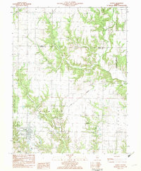 1982 Ramsey1982 Print · USGSFayette County in the early eighties shows a landscape of rail-served villages and deep-cut creek beds. Researchers can trace historic family burial sites like St Joseph Cem and Clark Cem or locate the distinctive Twin Churches.
 - 1982 Map of Litchfield
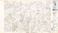 1982 Litchfield1982 Print · USGSThe coal and rail corridors of Central Illinois are captured here in the early eighties as the region balanced industrial mining with its agricultural roots. Researchers can trace family history through sites like Zelmer Memorial Cemetery or the grounds of Blackburn College and the Crown Mine No 1.
 - 1982 Map of Pana
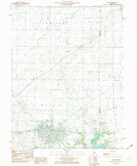 1982 Pana1982 Print · USGSThe rail-driven hub of Pana is captured here in the early eighties, showcasing its crossroads as a center for transport and local industry. Genealogists and historians can trace family plots at Linwood Cem or explore the layout of the Tri County Fairground and Kehias Park.
 - 1982 Map of Herrick
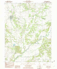 1982 Herrick1982 Print · USGSThe village of Herrick and the surrounding townships of Shelby and Fayette counties are captured here in the early 1980s. Researchers can locate numerous family-named landmarks, including Blankenship Cem, the Kaskaskia Ch, and the local Oil Field.
 - 1982 Map of Oconee
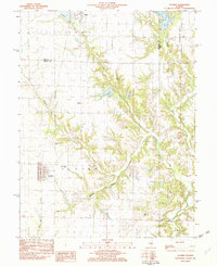 1982 Oconee1982 Print · USGSShelby and Christian counties in the early eighties were still defined by traditional rail corridors and rural parishes. Genealogists can trace family landmarks like Oconee Mound Cem, Hopewell Ch, and the Illinois Central Gulf line.
 - 1982 Map of Ohlman
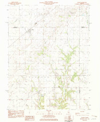 1982 Ohlman1982 Print · USGSOhlman and the surrounding prairie were deeply established by the early 1980s, when the rail network still connected these Montgomery County communities. Researchers can trace land divisions along the Third Principal Meridian and locate local sites like Shiloh Ch and Ohlman Cem.
 - 1982 Map of Assumption, 1983 Print
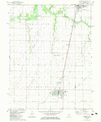 1982 Assumption1983 Print · USGSChristian and Shelby Counties are shown here during the early eighties, where the regional rail economy and local energy production intersect. Genealogists and historians can locate St Marys Cem, trace the Illinois Central Gulf railroad, and find smaller sites like Seigfried and Hayes Cem.
 - 1982 Map of Macon West, 1983 Print
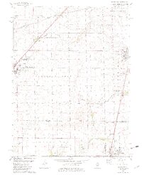 1982 Macon West1983 Print · USGSCentral Illinois farmlands in the early eighties show a landscape organized by rail corridors and quiet country churches. Genealogists can trace family plots at South Macon Cem, Adams Cem, or Traughber Cem and locate historic schools like the High Sch in Moweaqua.2 unique versions available
 - 1983 Map of Obed
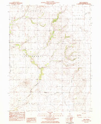 1983 Obed1983 Print · USGSThe Shelby County prairie comes alive in this early 1980s survey of the Obed and Yantisville areas. Researchers can trace rural lineages through numerous local landmarks, including the Masonic Cem, Little Flock Ch, and Mt Pleasant Ch.
 - 1983 Map of Macon East
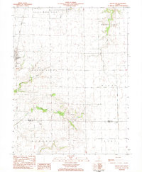 1983 Macon East1983 Print · USGSMacon and the surrounding townships are captured in the early eighties as the rail-and-farm economy continued to shape the prairie. Trace local history at the Long Grove Cem, the Sanner Chapel, and the private Hilvety Airport.
 - 1983 Map of Sullivan
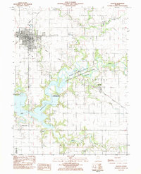 1983 Sullivan1983 Print · USGSThe town of Sullivan and the eastern shores of Lake Shelbyville are captured here in the early 1980s. Researchers can trace local heritage through the Masonic Home, Jonathan Creek Ch, and family sites like Bolin Cem and Purvis Cem.
 - 1983 Map of Beecher City
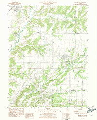 1983 Beecher City1983 Print · USGSBeecher City and the surrounding prairie were hubs of rail and resource extraction in the early 1980s. Genealogists can locate family burial sites like Tipsword Cem and Hubbard Cem, or trace the tracks of the Baltimore and Ohio through Moccasin.
 - 1983 Map of Kirksville
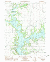 1983 Kirksville1983 Print · USGSThe Lake Shelbyville area is shown here in the early eighties as the reservoir reshaped the Moultrie and Shelby county lines. Genealogists and local historians can trace rural roots through landmarks like Henderson Cem, Oak Grove Ch, and the village of Kirksville.
 - 1983 Map of Findlay
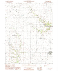 1983 Findlay1983 Print · USGSShelby County in the early eighties shows a landscape of steady agricultural life centered on Findlay. Genealogists and local historians can trace family locations near Prairie Home Cem, St Marys Ch, or along the Missouri Pacific rail corridor.
 - 1983 Map of Dalton City
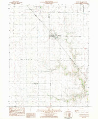 1983 Dalton City1983 Print · USGSDalton City and its surrounding townships are shown here in the early eighties, centered on the vital grain-shipping corridor of the Illinois Central Gulf railroad. Researchers can locate family landmarks like New Hope Cem, the small settlement of Reddy, and Walker Cem.
 - 1984 Map of Neoga, 1985 Print
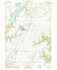 1984 Neoga1985 Print · USGSNeoga and the surrounding township lands are captured here in the mid-1980s as the regional landscape balanced agriculture with new recreation. Researchers can trace the Illinois Central Gulf rail line or locate the Public Boat Dock on Mattoon Lake.
Showing maps 1-25 of 32
Top cities of Shelby County
- Shelbyville historical maps
- Windsor historical maps
- Stewardson historical maps
- Findlay historical maps
- Tower Hill historical maps
- Cowden historical maps
See more
Frequently asked questions
- What are the different types of historical maps available for Shelby County?
- What is the oldest map of Shelby County?
- Where can I purchase historical maps of Shelby County for my home or office?
- Where can I download high-res historical maps of Shelby County?
- Are there historical topographic maps available for Shelby County?
- Is there historical aerial imagery available for Shelby County?
- Where are historical maps of Shelby County sourced from?