2020s Maps of Tazewell County, Illinois
Explore 40 historic maps of Tazewell County from the 2020s. These maps offer a rare glimpse into what life looked like during the 2020s — showing old roads, neighborhoods, homes, and landmarks that have changed or disappeared over time.
Whether you're researching your family's past, planning a metal detecting trip, or studying how Tazewell County's landscape evolved across the 2020s, these high-resolution maps are a powerful tool for exploring the history of this region.
- Focus on a specific era: All maps on this page are from the 2020s, giving you a focused view of this time period.
- See what’s changed: Compare century-old streets, trails, and buildings to today's modern landscape using overlays and satellite layers.
- Research with precision: Use these maps for genealogy, historical research, land use analysis, or educational projects.
- View, download, or print: Maps are fully viewable online in high resolution, and can be downloaded or printed for your own records.
Start exploring Tazewell County's history through authentic maps from the 2020s. This is your window into the past.
Tazewell County, IL maps
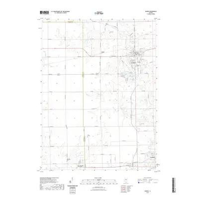
(40)- 2021 Map of Delavan North, 2021 Print
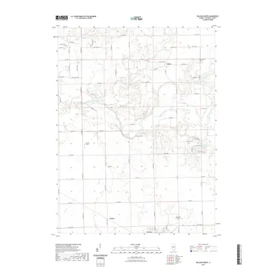 2021 Delavan North2021 Print · USGSCovers Tazewell County, including Delavan, Dillon, and other nearby areas
 - 2021 Map of Marquette Heights, 2021 Print
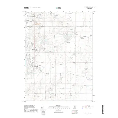 2021 Marquette Heights2021 Print · USGSCovers Tazewell County, including Pekin, East Peoria, and other nearby areas
 - 2021 Map of Hopedale, 2021 Print
 2021 Hopedale2021 Print · USGSCovers Tazewell County, including Hopedale, Brownwood, and other nearby areas
 - 2021 Map of Peoria West, 2021 Print
 2021 Peoria West2021 Print · USGSCovers Tazewell County, including Peoria, Bartonville, and other nearby areas
 - 2021 Map of Minier, 2021 Print
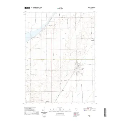
 2021 Minier2021 Print · USGSCovers Tazewell County, including Minier, Tazewell, and other nearby areas
 - 2021 Map of South Pekin, 2021 Print
 2021 South Pekin2021 Print · USGSCovers Tazewell County, including South Pekin, Green Valley, and other nearby areas
 - 2021 Map of Manito, 2021 Print
 2021 Manito2021 Print · USGSCovers Tazewell County, including Manito, Forest City, and other nearby areas
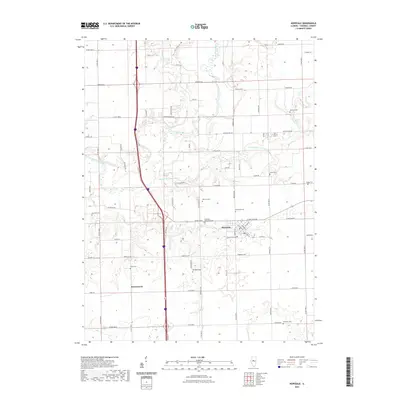
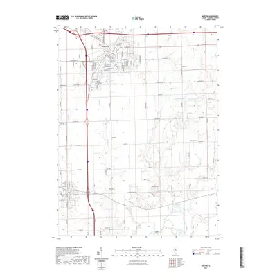
 - 2021 Map of Armington, 2021 Print
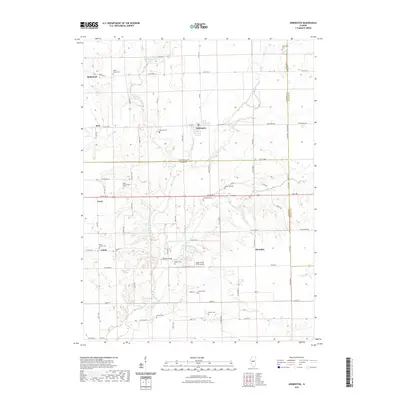 2021 Armington2021 Print · USGSCovers Tazewell County, including Armington, Burt, and other nearby areas
 - 2021 Map of Eureka, 2021 Print
 2021 Eureka2021 Print · USGSCovers Tazewell County, including Eureka, Deer Creek, and other nearby areas
 - 2021 Map of Delavan South, 2021 Print
 2021 Delavan South2021 Print · USGSCovers Tazewell County, including Delavan, San Jose, and other nearby areas
 - 2021 Map of Emden, 2021 Print
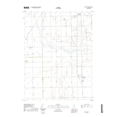
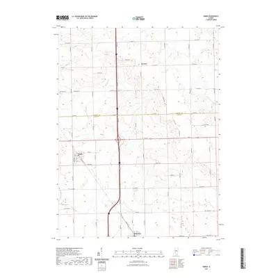 2021 Emden2021 Print · USGSCovers Tazewell County, including Emden, Hartsburg, and other nearby areas
 - 2021 Map of Natrona, 2021 Print
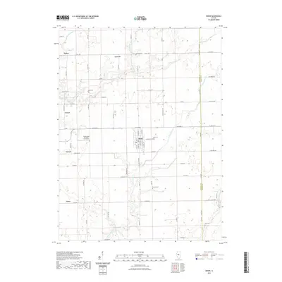
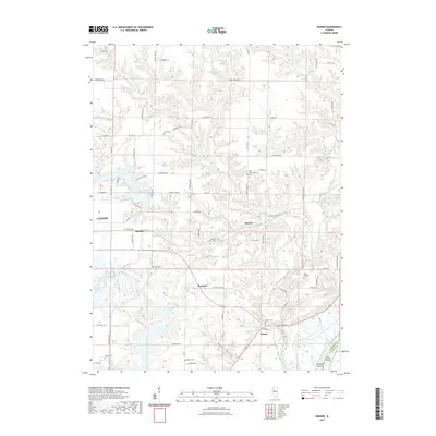
 2021 Natrona2021 Print · USGSCovers Tazewell County, including Allen, Winkel, and other nearby areas
 - 2021 Map of Banner, 2021 Print
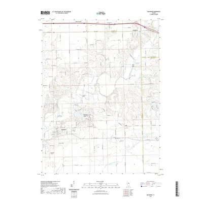
 2021 Banner2021 Print · USGSCovers Tazewell County, including Canton, Banner, and other nearby areas
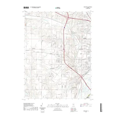
 - 2021 Map of Pekin, 2021 Print
 2021 Pekin2021 Print · USGSCovers Tazewell County, including Pekin, Bartonville, and other nearby areas
 - 2021 Map of Mackinaw, 2021 Print
 2021 Mackinaw2021 Print · USGSCovers Tazewell County, including Mackinaw, Deer Creek, and other nearby areas
 - 2021 Map of Duck Island, 2021 Print
 2021 Duck Island2021 Print · USGSCovers Tazewell County, including Liverpool, Goofy Ridge, and other nearby areas
 - 2021 Map of Washington, 2021 Print
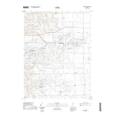 2021 Washington2021 Print · USGSCovers Tazewell County, including East Peoria, Morton, and other nearby areas
 - 2021 Map of Peoria East, 2021 Print
 2021 Peoria East2021 Print · USGSCovers Tazewell County, including Peoria, East Peoria, and other nearby areas
 - 2021 Map of Glasford, 2021 Print
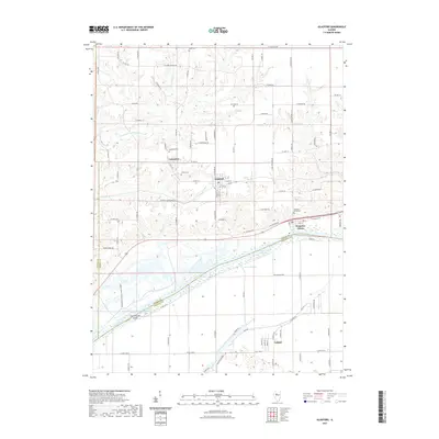 2021 Glasford2021 Print · USGSCovers Tazewell County, including Glasford, Kingston Mines, and other nearby areas
 - 2021 Map of Morton, 2021 Print
 2021 Morton2021 Print · USGSCovers Tazewell County, including Morton, Tremont, and other nearby areas
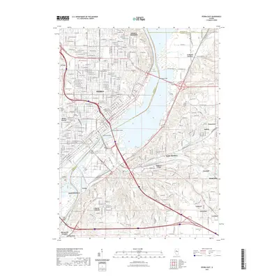
 - 2024 Map of Pekin, 2024 Print
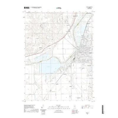
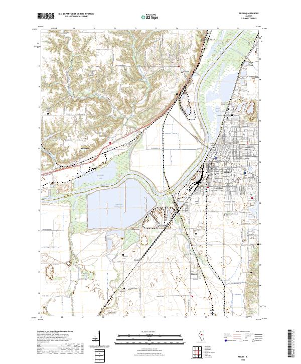 2024 Pekin2024 Print · USGSThe Illinois River valley comes into focus during the early 2020s, highlighting the industrial sprawl and residential patterns around the Tazewell County seat. Researchers can locate numerous historic burial sites like Sacred Heart Catholic Cem and trace the modern path of the Union Pacific RR past Powerton Cooling Lake.
 - 2024 Map of Banner, 2024 Print
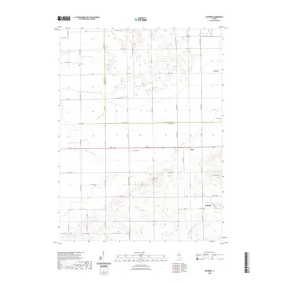
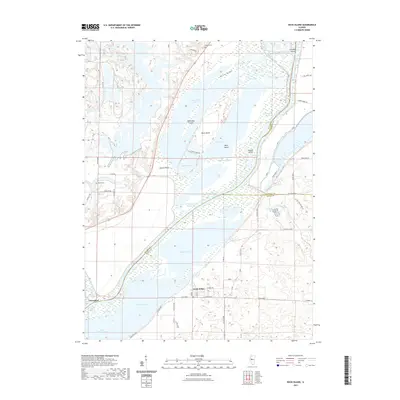
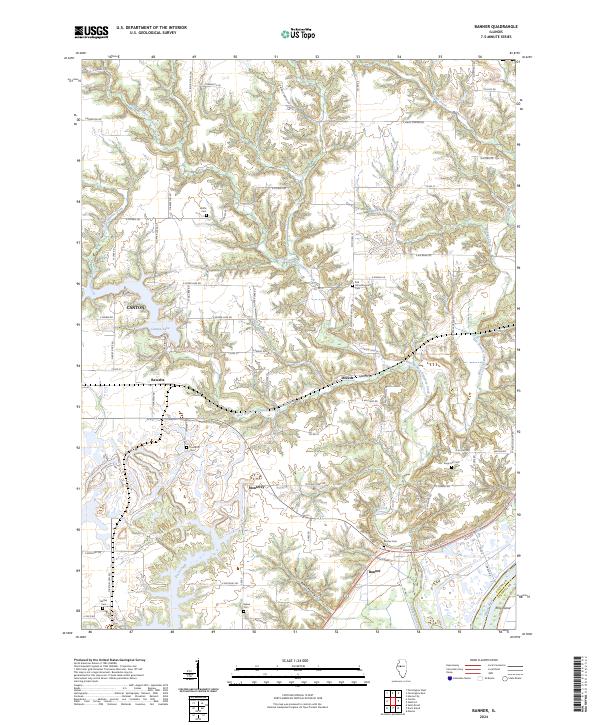 2024 Banner2024 Print · USGSEastern Fulton County is documented here in the early twenty-first century, showing the rural bluffs above the Illinois River. Genealogists can locate numerous local burial sites like Kings Hill Cem and Banner Cem, or trace the winding waters of Wildcat Creek.
 - 2024 Map of Washington, 2024 Print
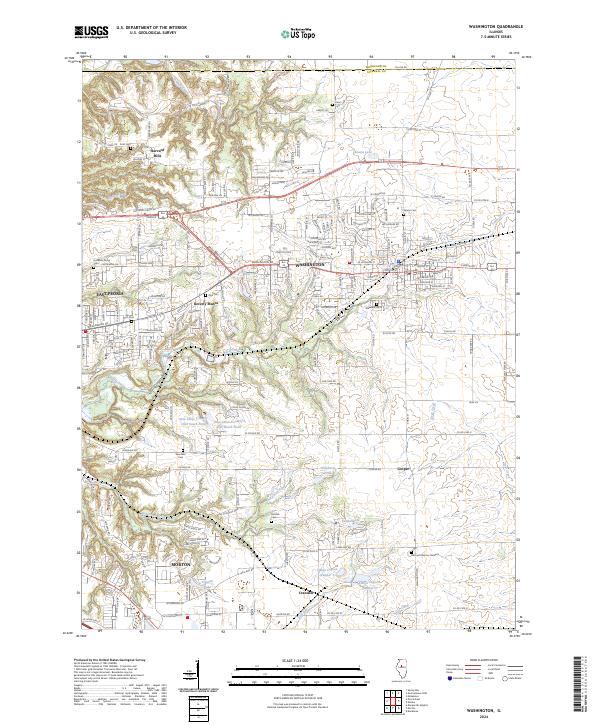 2024 Washington2024 Print · USGSTazewell County's evolving landscape shows the expansion of residential centers into historic farmland during the mid-2020s. Researchers can locate family sites near Hollands Grove Cem or trace the early paths of Crandall and Beverly Manor.
 - 2024 Map of Eureka, 2024 Print
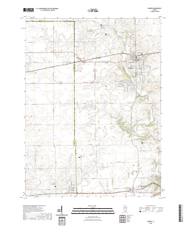 2024 Eureka2024 Print · USGSEureka and its neighboring townships are documented here during a period of modern growth and historical preservation. Genealogists and local historians can trace the foundations of the community through sites like Eureka College, the Woodford County Courthouse, and numerous burial grounds including Olio Township Cem.
 - 2024 Map of Delavan North, 2024 Print
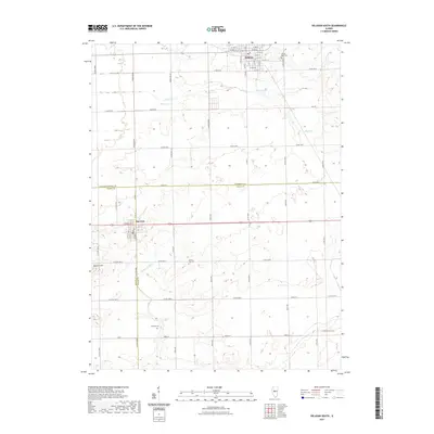
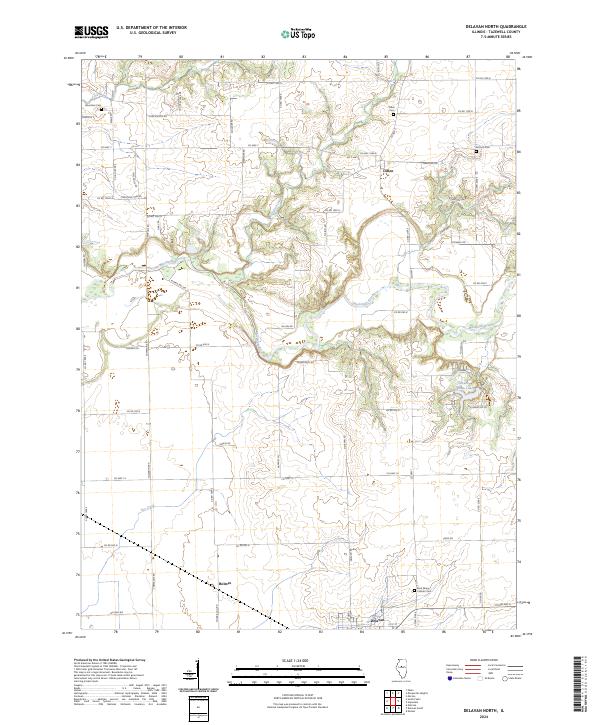 2024 Delavan North2024 Print · USGSTazewell County farmland meets the winding Mackinaw River in this recent survey of the Illinois prairie. Genealogists can locate family sites near Dillon, Antioch Cem, and Saint Marys Catholic Cem among the rural townships.
Showing maps 1-25 of 40
Top cities of Tazewell County
- Pekin historical maps
- East Peoria historical maps
- Groveland historical maps
- Morton historical maps
- Washington historical maps
- Creve Coeur historical maps
See more
Frequently asked questions
- What are the different types of historical maps available for Tazewell County?
- What is the oldest map of Tazewell County?
- Where can I purchase historical maps of Tazewell County for my home or office?
- Where can I download high-res historical maps of Tazewell County?
- Are there historical topographic maps available for Tazewell County?
- Is there historical aerial imagery available for Tazewell County?
- Where are historical maps of Tazewell County sourced from?