2000s (21st Century) Maps of Upland, Indiana
Explore 10 historic maps of Upland from the 2000s (21st Century). These maps offer a rare glimpse into what life looked like during the 2000s — showing old roads, neighborhoods, homes, and landmarks that have changed or disappeared over time.
Whether you're researching your family's past, planning a metal detecting trip, or studying how Upland's landscape evolved across the 2000s, these high-resolution maps are a powerful tool for exploring the history of this region.
- Focus on a specific era: All maps on this page are from the 2000s, giving you a focused view of this time period.
- See what’s changed: Compare century-old streets, trails, and buildings to today's modern landscape using overlays and satellite layers.
- Research with precision: Use these maps for genealogy, historical research, land use analysis, or educational projects.
- View, download, or print: Maps are fully viewable online in high resolution, and can be downloaded or printed for your own records.
Start exploring Upland's history through authentic maps from the 2000s. This is your window into the past.
Upland, IN maps
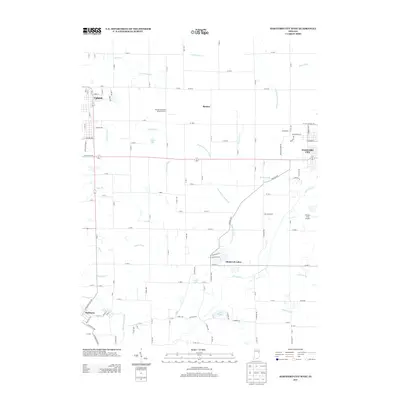
(10)- 2010 Map of Hartford City West, 2010 Print
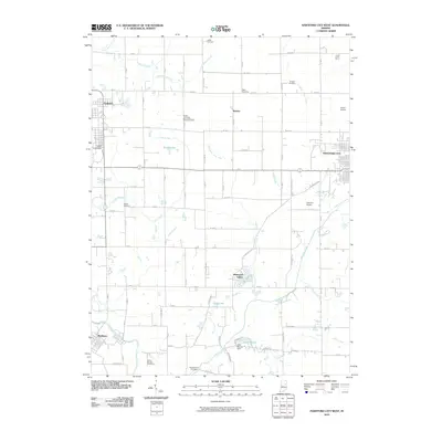 2010 Hartford City West2010 Print · USGSCovers Upland, including Hartford City, Matthews, and other nearby areas
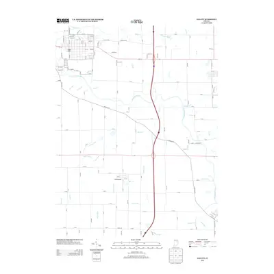
 - 2010 Map of Gas City, 2010 Print
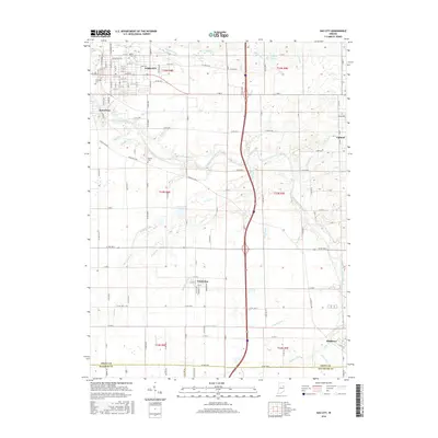
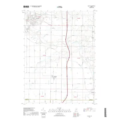
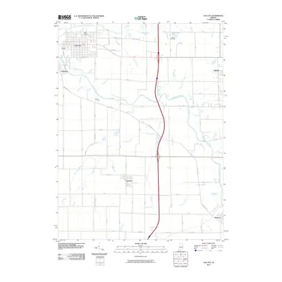 2010 Gas City2010 Print · USGSCovers Upland, including Gas City, Jonesboro, and other nearby areas
 - 2013 Map of Hartford City West, 2013 Print
 2013 Hartford City West2013 Print · USGSCovers Upland, including Hartford City, Matthews, and other nearby areas
 - 2013 Map of Gas City, 2013 Print
 2013 Gas City2013 Print · USGSCovers Upland, including Gas City, Jonesboro, and other nearby areas
 - 2016 Map of Gas City, 2016 Print
 2016 Gas City2016 Print · USGSCovers Upland, including Gas City, Jonesboro, and other nearby areas
 - 2016 Map of Hartford City West, 2016 Print
 2016 Hartford City West2016 Print · USGSCovers Upland, including Hartford City, Matthews, and other nearby areas
 - 2019 Map of Gas City, 2019 Print
 2019 Gas City2019 Print · USGSCovers Upland, including Gas City, Jonesboro, and other nearby areas
 - 2019 Map of Hartford City West, 2019 Print
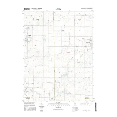
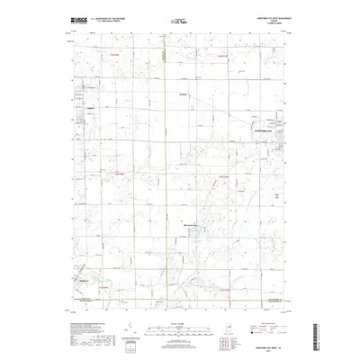 2019 Hartford City West2019 Print · USGSCovers Upland, including Hartford City, Matthews, and other nearby areas
 - 2022 Map of Hartford City West, 2022 Print
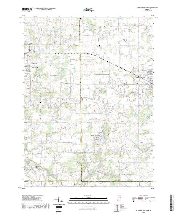 2022 Hartford City West2022 Print · USGSIn the early twenty-first century, this East Central Indiana landscape shows the intersection of higher education at Taylor University and traditional agricultural roots. Researchers can trace rural cemetery sites like Matthews Cem and the complex drainage of Big Lick Creek.
 - 2022 Map of Gas City, 2022 Print
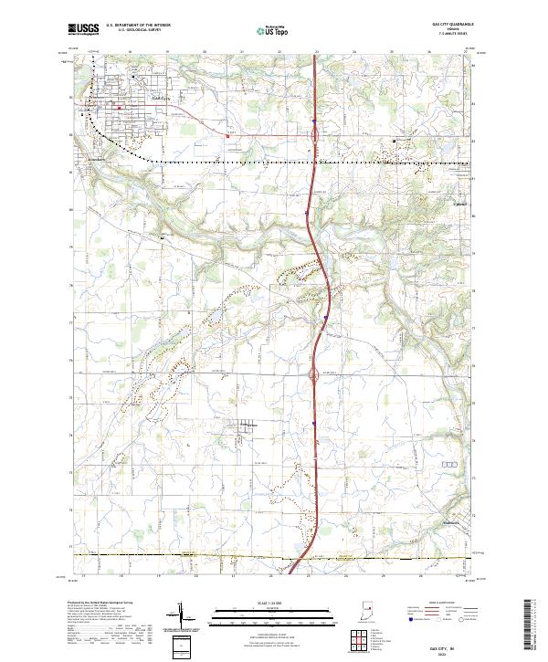 2022 Gas City2022 Print · USGSGrant County and its neighbors show a landscape of river-bend towns and prairie drainage at the start of the 2020s. Researchers can trace historic cemeteries like Jefferson Cem and the routes of old thoroughfares such as Wheeling Pike near Fowlerton.
End of results
Showing maps 1-10 of 10
Top cities near Upland
- Muncie historical maps
- Marion historical maps
- Hartford City historical maps
- Alexandria historical maps
- Gas City historical maps
- Fairmount historical maps
See more
Frequently asked questions
- What are the different types of historical maps available for Upland?
- What is the oldest map of Upland?
- Where can I purchase historical maps of Upland for my home or office?
- Where can I download high-res historical maps of Upland?
- Are there historical topographic maps available for Upland?
- Is there historical aerial imagery available for Upland?
- Where are historical maps of Upland sourced from?