2010s Maps of Pike County, Indiana
Explore 60 historic maps of Pike County from the 2010s. These maps offer a rare glimpse into what life looked like during the 2010s — showing old roads, neighborhoods, homes, and landmarks that have changed or disappeared over time.
Whether you're researching your family's past, planning a metal detecting trip, or studying how Pike County's landscape evolved across the 2010s, these high-resolution maps are a powerful tool for exploring the history of this region.
- Focus on a specific era: All maps on this page are from the 2010s, giving you a focused view of this time period.
- See what’s changed: Compare century-old streets, trails, and buildings to today's modern landscape using overlays and satellite layers.
- Research with precision: Use these maps for genealogy, historical research, land use analysis, or educational projects.
- View, download, or print: Maps are fully viewable online in high resolution, and can be downloaded or printed for your own records.
Start exploring Pike County's history through authentic maps from the 2010s. This is your window into the past.
Pike County, IN maps
(60)- 2010 Map of Lynnville, 2010 Print
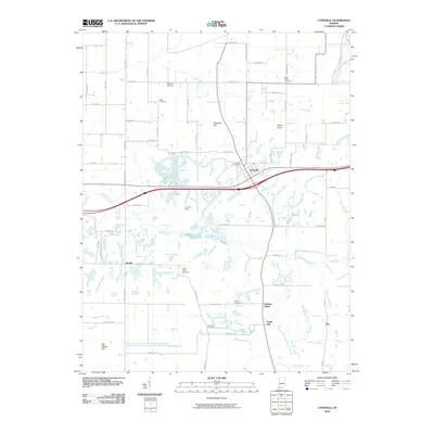 2010 Lynnville2010 Print · USGSWarrick County during the early twenty-first century reveals a landscape where coal mining and rural heritage meet. Genealogists can locate several historic burial sites like Eden Cemetery and Mount Olive Cemetery while tracing old settlements such as Stanley and Eby.
 - 2010 Map of Oakland City, 2010 Print
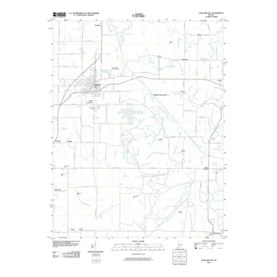 2010 Oakland City2010 Print · USGSGibson County coal country and agricultural prairie meet in the early twenty-first century as the landscape transitions toward industrial use. Genealogists can trace family names through numerous sites like Davis Cemetery and Montgomery Cemetery while historians locate the massive Somerville Mine.
 - 2010 Map of Otwell, 2010 Print
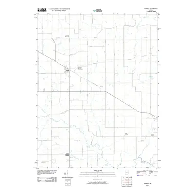 2010 Otwell2010 Print · USGSSouthern Indiana's agricultural heartland is documented here at the turn of the decade, centered on the community of Otwell. Genealogists can locate numerous burial sites such as Bethel Cemetery and Armstrong Cemetery, or trace the course of the Patoka River.
 - 2010 Map of Iona, 2010 Print
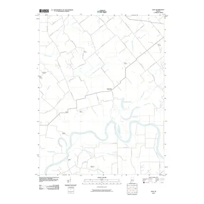 2010 Iona2010 Print · USGSKnox County farmland and river bottoms are captured here in the early twenty-first century, showing the area's enduring rural structure. Researchers can pinpoint numerous family burial grounds like Slow Cemetery and Hartley Cemetery near the banks of the White River.
 - 2010 Map of Francisco, 2010 Print
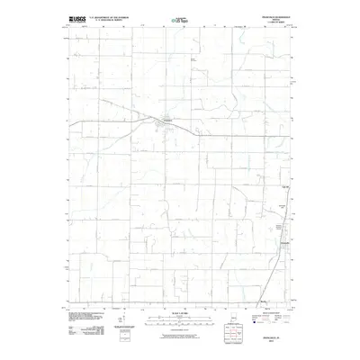 2010 Francisco2010 Print · USGSGibson County agriculture and historical land boundaries are on full display in this early 21st-century survey. Trace the unusual diagonal of INDIAN TREATY RD or locate family roots near Francisco, Somerville, and the Meade Cemetery.
 - 2010 Map of Glendale, 2010 Print
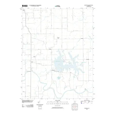 2010 Glendale2010 Print · USGSDaviess County's rural crossroads and reservoir systems are mapped here during the early twenty-first century. Researchers can locate family heritage sites like Saint Patricks Glencoe Cemetery and the river landmark High Rock near Hudsonville.
 - 2010 Map of Winslow, 2010 Print
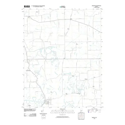 2010 Winslow2010 Print · USGSSouthern Indiana at the start of the 2010s shows a landscape of small settlements and river bottomlands. Genealogists can locate family burial sites at Oak Hill Cemetery, Sunset Cemetery, and Beadles Cemetery along the Patoka River.
 - 2010 Map of Petersburg, 2010 Print
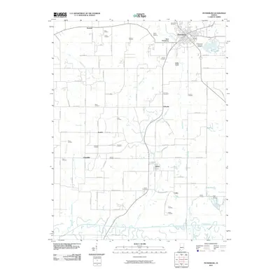 2010 Petersburg2010 Print · USGSThe northern reaches of Pike County are shown here in the early twenty-first century, centered on the historic river town of Petersburg. Researchers can trace dozens of local burial sites like Old Town Cemetery and Weist Cemetery or locate the rail operations at Ashby Yards.
 - 2010 Map of Velpen, 2010 Print
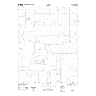 2010 Velpen2010 Print · USGSDubois County at the start of the 2010s reveals a quiet landscape of river-bottom farms and small rural crossroads. Genealogists can trace family names through numerous burial sites like Risley Cemetery and Saint Paul United Church of Christ Cemetery.
 - 2010 Map of Folsomville, 2010 Print
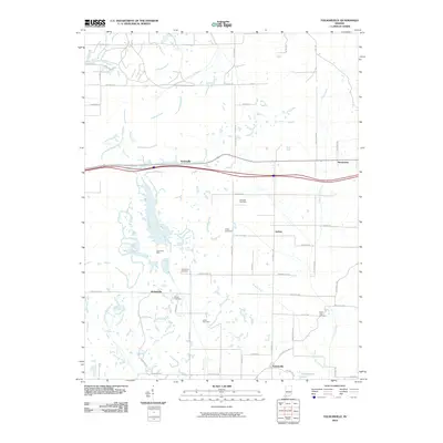 2010 Folsomville2010 Print · USGSWarrick County during the early 21st century remains a landscape of quiet crossroads and active coal mining. Genealogists and local historians can trace family locations near Folsomville, Tecumseh Mine, and local landmarks like Saint Clair Cemetery.
 - 2010 Map of Sandy Hook, 2010 Print
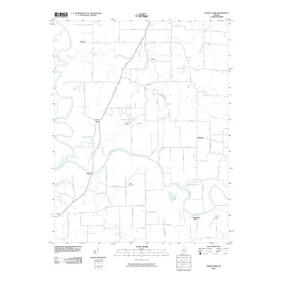 2010 Sandy Hook2010 Print · USGSDaviess County at the turn of the decade shows a rural landscape shaped by the White River and East Fork White River. Genealogists and local historians can trace family roots through Bethel Cemetery or locate the small settlements of Highbank Town and Cumback.
 - 2010 Map of Holland, 2010 Print
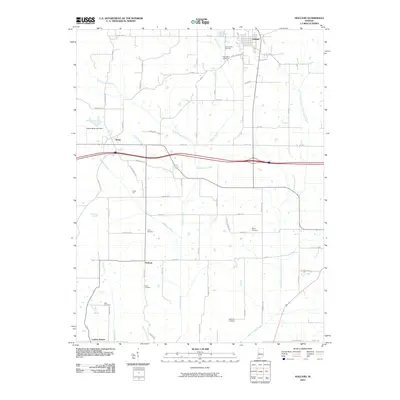 2010 Holland2010 Print · USGSThe rural landscape around Holland and Selvin is meticulously documented in this 2010 survey of southern Indiana. Genealogists can trace family names at Avery Cemetery, Chinn Cemetery, and the historic site at Indian Fort.
 - 2010 Map of Augusta, 2010 Print
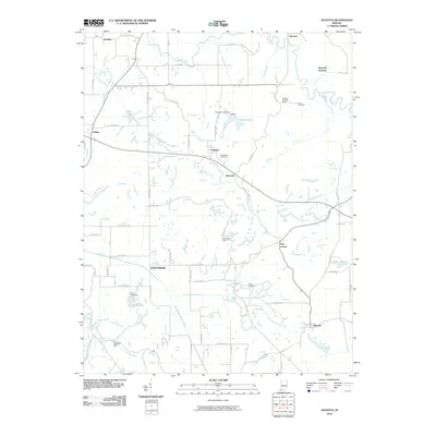 2010 Augusta2010 Print · USGSPike County's rural coal and timber country is well-documented here during the early twenty-first century. Researchers can trace local lineage through the Odd Fellow Cemetery and Corn Cemetery, or locate industrial sites like Blackfoot Mine.
 - 2010 Map of Union, 2010 Print
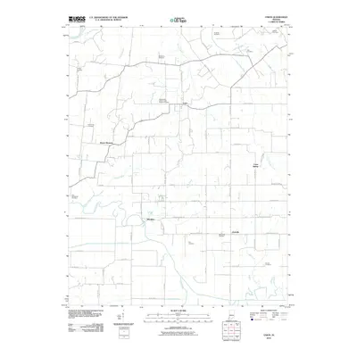 2010 Union2010 Print · USGSPike County at the start of the twenty-first century reveals a landscape defined by the winding Patoka River and dispersed rural settlements. Researchers can trace family history through numerous burial sites like Armstrong Cemetery and Richardson Cemetery.
 - 2011 Map of Monroe City, 2011 Print
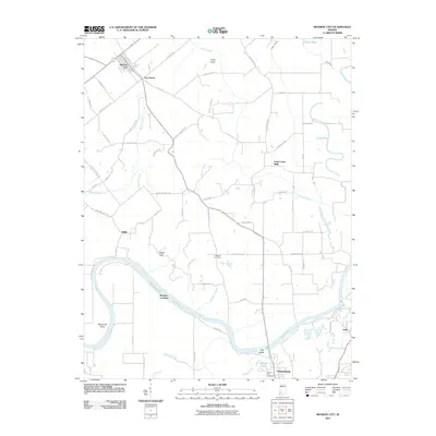 2011 Monroe City2011 Print · USGSThe White River valley south of Monroe City is captured here in the early twenty-first century, revealing a landscape shaped by river bends and rural crossroads. Genealogists and researchers can locate Walnut Hill Cemetery, Pond Creek Mills, and Bartons Location.
 - 2013 Map of Petersburg, 2013 Print
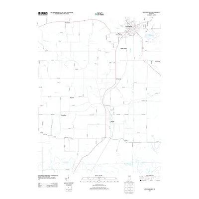 2013 Petersburg2013 Print · USGSPike County, Indiana, is captured here in the early twenty-first century, showing the relationship between the Patoka River and local industry. Genealogists and local historians can trace the smaller hamlets of Glezen, Littles, and the rail-linked Ashby Yards.
 - 2013 Map of Augusta, 2013 Print
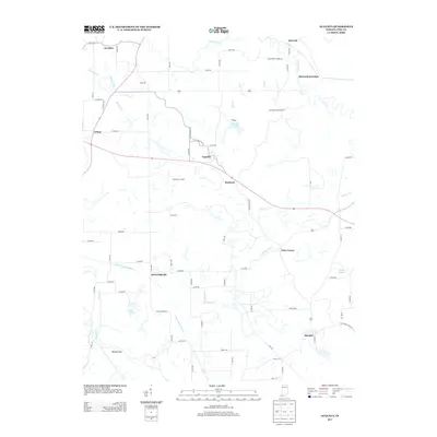 2013 Augusta2013 Print · USGSPike County at the start of the 2010s reveals a rural landscape defined by the Patoka River and a network of historic crossroads settlements. Researchers can trace local landmarks like the Hartwell Lookout Tower and the small communities of Stendal, Augusta, and Fritz Corner.
 - 2013 Map of Monroe City, 2013 Print
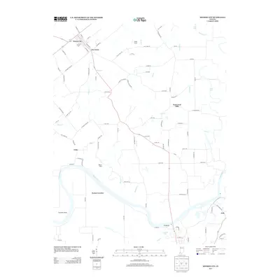 2013 Monroe City2013 Print · USGSSouthern Indiana's riverfront and agricultural heartland are captured here in the early twenty-first century. Genealogists and local historians can trace family land around Monroe City, Pond Creek Mills, and the riverside community at Bartons Location.
 - 2013 Map of Sandy Hook, 2013 Print
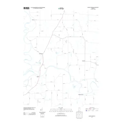 2013 Sandy Hook2013 Print · USGSDaviess and Pike Counties are mapped here in the early 2010s at the junction of the two forks of the White River. You can trace the rural landscape near Sandy Hook, Cumback, and Highbank Town along with numerous oxbow features like Horseshoe Pond.
 - 2013 Map of Glendale, 2013 Print
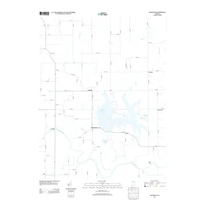 2013 Glendale2013 Print · USGSDaviess County farmland and the waters of the White River define this Indiana landscape in the early twenty-first century. Researchers can trace rural settlements like Hudsonville, Waco, and Glendale or locate landmarks such as High Rock and Dogwood Lake.
 - 2013 Map of Iona, 2013 Print
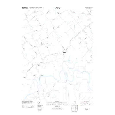 2013 Iona2013 Print · USGSKnox County's river-bottom country is detailed here during the early twenty-first century, showing the rural settlements and complex wetlands. Genealogists and researchers can trace local family history near Iona, Ridgeville, and landmarks like S McCoy Cemetery Rd.
 - 2013 Map of Union, 2013 Print
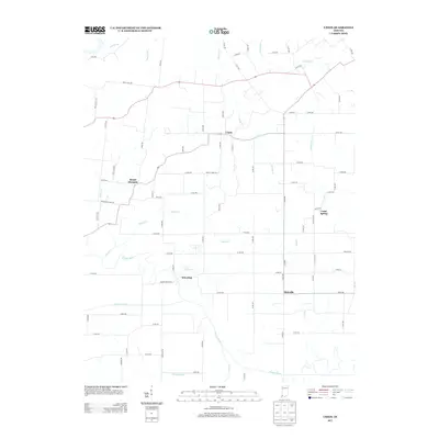 2013 Union2013 Print · USGSPike County agriculture and rural life take center stage in this early twenty-first-century survey of southwestern Indiana. Genealogists and local historians can trace family roots near Union, Mount Olympus, and the waters of the Patoka River.
 - 2013 Map of Oakland City, 2013 Print
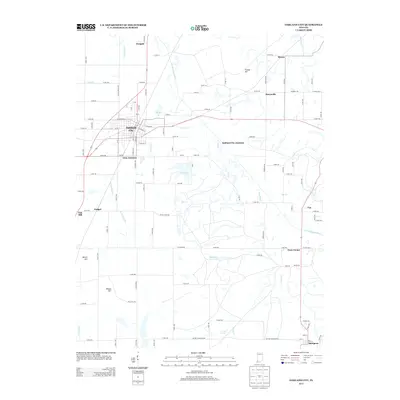 2013 Oakland City2013 Print · USGSSouthern Indiana's rural landscape is centered on Oakland City in this early twenty-first-century survey. Genealogists and local historians can trace the positions of established settlements like Dongola, Spurgeon, and Marysville alongside landmarks such as Honey Spring.
 - 2013 Map of Folsomville, 2013 Print
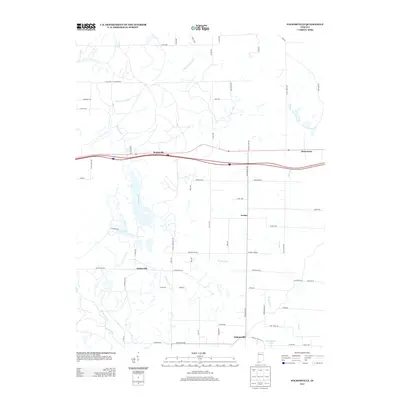 2013 Folsomville2013 Print · USGSWarrick County in the early twenty-first century reveals a landscape of enduring rural crossroads and watercourses like Barren Fork. Genealogists and local historians can trace the foundations of Folsomville and Scalesville, or find family landmarks along Gentry Cemetery Rd.
 - 2013 Map of Winslow, 2013 Print
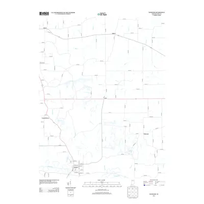 2013 Winslow2013 Print · USGSWinslow and the surrounding Pike County countryside are documented in this early twenty-first-century survey during a period of rural continuity. Genealogists can trace family footprints near White Oak Lake, the Patoka River, and settlements like Algiers and Alford.
Showing maps 1-25 of 60
Top cities of Pike County
Frequently asked questions
- What are the different types of historical maps available for Pike County?
- What is the oldest map of Pike County?
- Where can I purchase historical maps of Pike County for my home or office?
- Where can I download high-res historical maps of Pike County?
- Are there historical topographic maps available for Pike County?
- Is there historical aerial imagery available for Pike County?
- Where are historical maps of Pike County sourced from?