2000s (21st Century) Maps of Waukee, Iowa
Explore 20 historic maps of Waukee from the 2000s (21st Century). These maps offer a rare glimpse into what life looked like during the 2000s — showing old roads, neighborhoods, homes, and landmarks that have changed or disappeared over time.
Whether you're researching your family's past, planning a metal detecting trip, or studying how Waukee's landscape evolved across the 2000s, these high-resolution maps are a powerful tool for exploring the history of this region.
- Focus on a specific era: All maps on this page are from the 2000s, giving you a focused view of this time period.
- See what’s changed: Compare century-old streets, trails, and buildings to today's modern landscape using overlays and satellite layers.
- Research with precision: Use these maps for genealogy, historical research, land use analysis, or educational projects.
- View, download, or print: Maps are fully viewable online in high resolution, and can be downloaded or printed for your own records.
Start exploring Waukee's history through authentic maps from the 2000s. This is your window into the past.
Waukee, IA maps
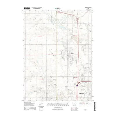
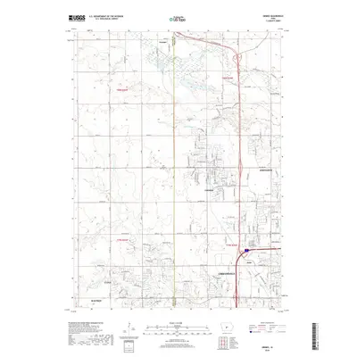
(20)- 2010 Map of Grimes, 2010 Print
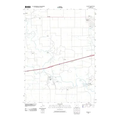
 2010 Grimes2010 Print · USGSCovers Waukee, including Urbandale, Johnston, and other nearby areas
 - 2010 Map of Dallas Center, 2010 Print
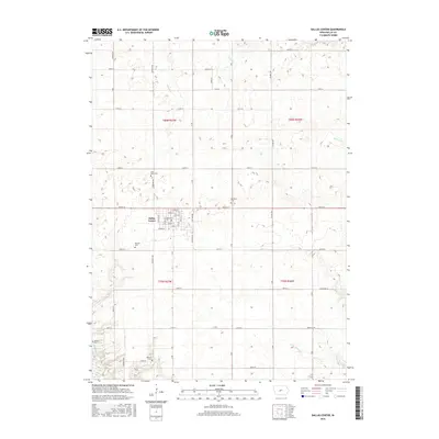
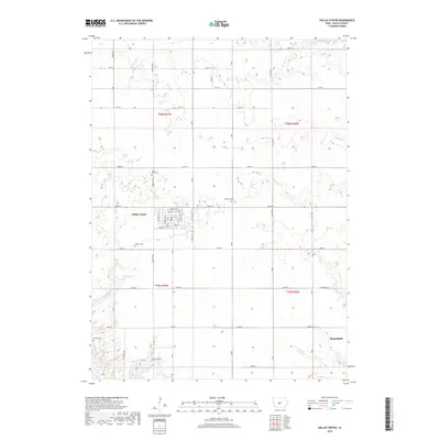
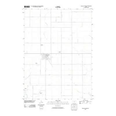 2010 Dallas Center2010 Print · USGSCovers Waukee, including Dallas Center, Walnut Township, and other nearby areas
 - 2010 Map of Commerce, 2010 Print
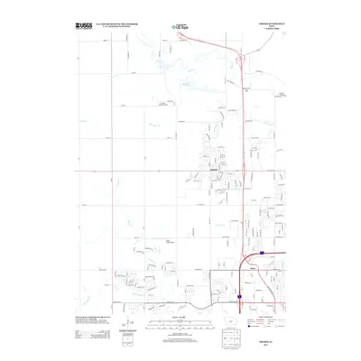
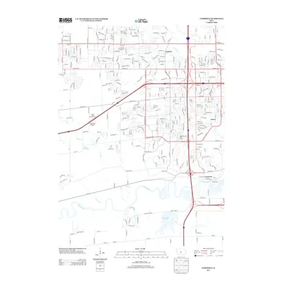
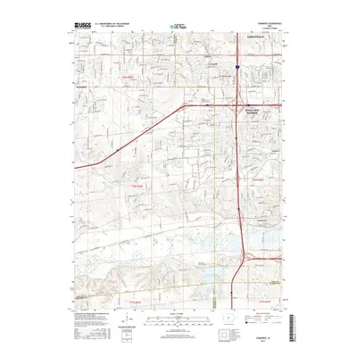
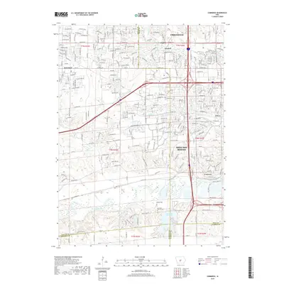
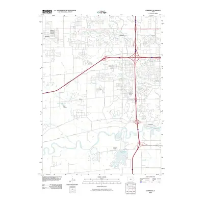 2010 Commerce2010 Print · USGSCovers Waukee, including West Des Moines, Urbandale, and other nearby areas
 - 2010 Map of Waukee, 2010 Print
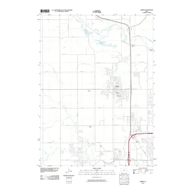
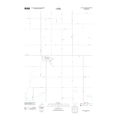
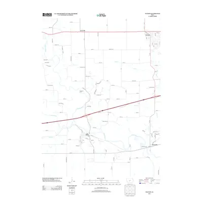
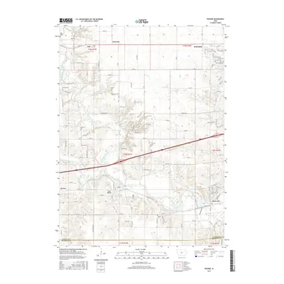
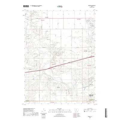
 2010 Waukee2010 Print · USGSCovers Waukee, including West Des Moines, Adel, and other nearby areas
 - 2013 Map of Dallas Center, 2013 Print
 2013 Dallas Center2013 Print · USGSCovers Waukee, including Dallas Center, Walnut Township, and other nearby areas
 - 2013 Map of Waukee, 2013 Print
 2013 Waukee2013 Print · USGSCovers Waukee, including West Des Moines, Adel, and other nearby areas
 - 2013 Map of Grimes, 2013 Print
 2013 Grimes2013 Print · USGSCovers Waukee, including Urbandale, Johnston, and other nearby areas
 - 2013 Map of Commerce, 2013 Print
 2013 Commerce2013 Print · USGSCovers Waukee, including West Des Moines, Urbandale, and other nearby areas
 - 2015 Map of Waukee, 2015 Print
 2015 Waukee2015 Print · USGSCovers Waukee, including West Des Moines, Adel, and other nearby areas
 - 2015 Map of Grimes, 2015 Print
 2015 Grimes2015 Print · USGSCovers Waukee, including Urbandale, Johnston, and other nearby areas
 - 2015 Map of Dallas Center, 2015 Print
 2015 Dallas Center2015 Print · USGSCovers Waukee, including Dallas Center, Walnut Township, and other nearby areas
 - 2015 Map of Commerce, 2015 Print
 2015 Commerce2015 Print · USGSCovers Waukee, including West Des Moines, Urbandale, and other nearby areas
 - 2018 Map of Dallas Center, 2018 Print
 2018 Dallas Center2018 Print · USGSCovers Waukee, including Dallas Center, Walnut Township, and other nearby areas
 - 2018 Map of Grimes, 2018 Print
 2018 Grimes2018 Print · USGSCovers Waukee, including Urbandale, Johnston, and other nearby areas
 - 2018 Map of Commerce, 2018 Print
 2018 Commerce2018 Print · USGSCovers Waukee, including West Des Moines, Urbandale, and other nearby areas
 - 2018 Map of Waukee, 2018 Print
 2018 Waukee2018 Print · USGSCovers Waukee, including West Des Moines, Adel, and other nearby areas
 - 2022 Map of Dallas Center, 2022 Print
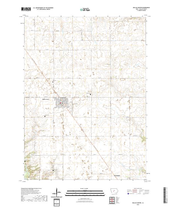 2022 Dallas Center2022 Print · USGSDallas County in the early 2020s shows a classic transition from traditional farming communities to expanding suburban fringes. Researchers can trace local lineage through several sites like Saint Marys Cem and Masonic Cem, or follow the Raccoon River Valley Trl.
 - 2022 Map of Waukee, 2022 Print
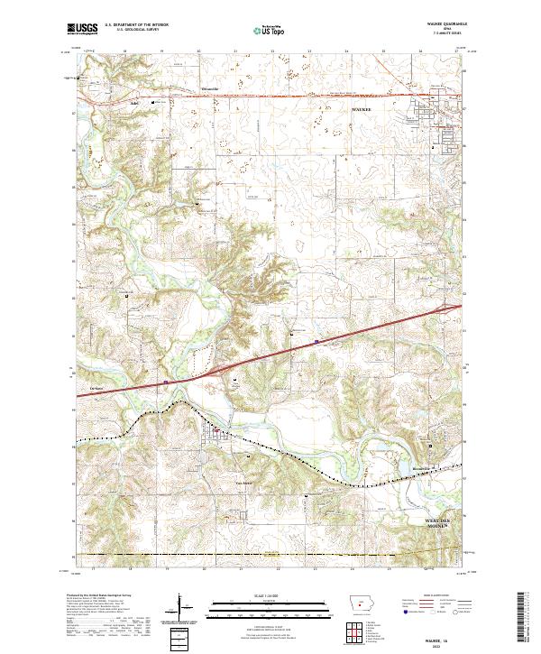 2022 Waukee2022 Print · USGSSuburban growth meets the river valleys of Dallas County in the early 2020s. Researchers can trace family history through many local burial sites like Iowa Veterans Cem and Booneville Cem or locate the junctions of the North Raccoon River.
 - 2022 Map of Commerce, 2022 Print
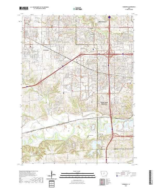 2022 Commerce2022 Print · USGSCentral Iowa's western suburbs emerge from the river valleys in this early 2020s study. Genealogists and local historians can trace legacy sites like Huston Cemetery and Ashawa or the namesake settlement at Commerce.
 - 2022 Map of Grimes, 2022 Print
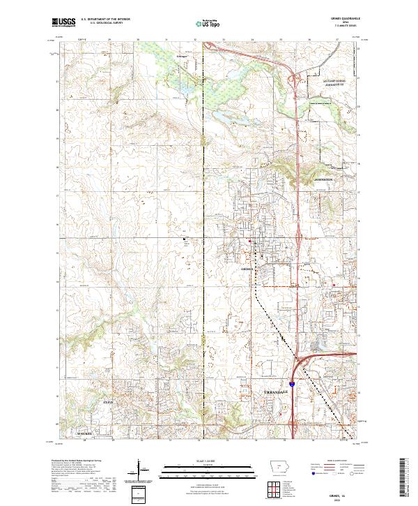 2022 Grimes2022 Print · USGSThe suburban and rural landscape of central Iowa is captured here as the Des Moines metro area expands northward. Genealogists and local historians can trace the borders of Grimes and Urbandale or locate Hoff Prairie Cem and Sunny Hill Cem.
End of results
Showing maps 1-20 of 20
Top cities near Waukee
- Des Moines historical maps
- West Des Moines historical maps
- Ankeny historical maps
- Urbandale historical maps
- Johnston historical maps
- Clive historical maps
See more
Frequently asked questions
- What are the different types of historical maps available for Waukee?
- What is the oldest map of Waukee?
- Where can I purchase historical maps of Waukee for my home or office?
- Where can I download high-res historical maps of Waukee?
- Are there historical topographic maps available for Waukee?
- Is there historical aerial imagery available for Waukee?
- Where are historical maps of Waukee sourced from?