2010s Maps of Delaware County, Iowa
Explore 64 historic maps of Delaware County from the 2010s. These maps offer a rare glimpse into what life looked like during the 2010s — showing old roads, neighborhoods, homes, and landmarks that have changed or disappeared over time.
Whether you're researching your family's past, planning a metal detecting trip, or studying how Delaware County's landscape evolved across the 2010s, these high-resolution maps are a powerful tool for exploring the history of this region.
- Focus on a specific era: All maps on this page are from the 2010s, giving you a focused view of this time period.
- See what’s changed: Compare century-old streets, trails, and buildings to today's modern landscape using overlays and satellite layers.
- Research with precision: Use these maps for genealogy, historical research, land use analysis, or educational projects.
- View, download, or print: Maps are fully viewable online in high resolution, and can be downloaded or printed for your own records.
Start exploring Delaware County's history through authentic maps from the 2010s. This is your window into the past.
Delaware County, IA maps
(64)- 2010 Map of Edgewood, 2010 Print
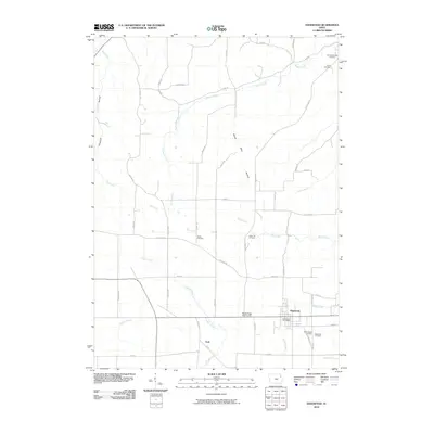 2010 Edgewood2010 Print · USGSThe township of Edgewood and the settlement of York are documented in this early twenty-first-century survey of the Iowa countryside. Researchers can trace local lineage through several sites including Noble Cemetery, Green Hill Cemetery, and Edgewood Cemetery.
 - 2010 Map of Hopkinton West, 2010 Print
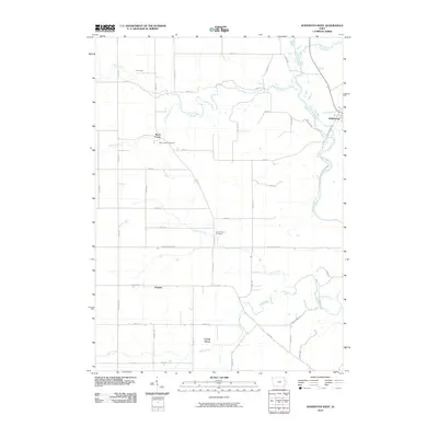 2010 Hopkinton West2010 Print · USGSEastern Delaware County is seen here during the first decade of the 2000s, where the western edge of Hopkinton borders the Maquoketa River. Genealogists and local historians can trace rural family sites near Uniontown, Argand, and the Buck Creek Cemetery.
 - 2010 Map of Garber, 2010 Print
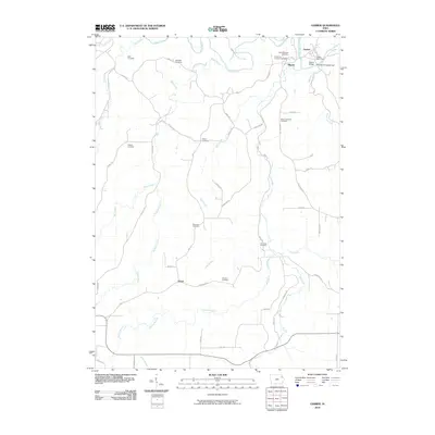 2010 Garber2010 Print · USGSClayton County's river valleys come alive in this early 21st-century record of the Turkey River confluence. Genealogists can trace family history through a dozen rural burial grounds including Saint Michaels Cemetery and Wolf Cemetery.
 - 2010 Map of Greeley, 2010 Print
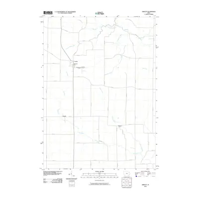 2010 Greeley2010 Print · USGSGreeley and its neighboring townships are captured here during a period of steady rural continuity. Local historians can trace the exact locations of Saint Joseph's Cemetery, the Greeley Post Office, and the many branches of Plum Creek.
 - 2010 Map of Dyersville West, 2010 Print
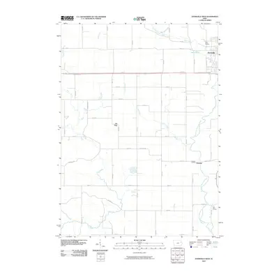 2010 Dyersville West2010 Print · USGSThis rural landscape west of Dyersville reflects a deep agricultural heritage along the North Fork Maquoketa River during the early 2000s. Genealogists and local historians can trace the sites of Rockville, Gilt Edge, and several family-linked grounds like Saint Pauls Cemetery.
 - 2010 Map of Colesburg, 2010 Print
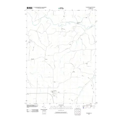 2010 Colesburg2010 Print · USGSColesburg and the surrounding driftless-style terrain of northeastern Iowa appear here in the early twenty-first century. Family history researchers can locate several rural burying grounds including Hansel Cemetery and Oak Hill Cemetery or trace the river valley near Osterdock.
 - 2010 Map of Coggon, 2010 Print
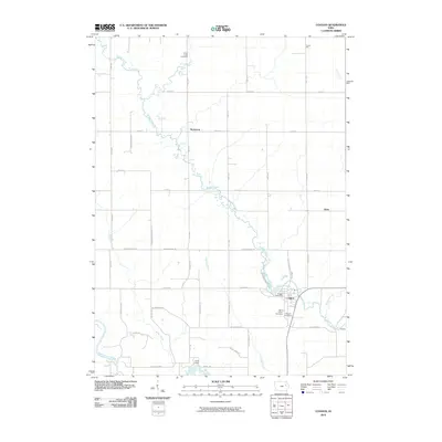 2010 Coggon2010 Print · USGSLinn County agriculture and small-town life are captured here during the first decade of the new millennium. Genealogists and local historians can trace family locations near Robinson, Ehler, and the well-documented Coggon Cemetery along the banks of Buffalo Creek.
 - 2010 Map of Dundee, 2010 Print
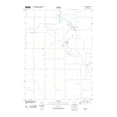 2010 Dundee2010 Print · USGSDelaware County at the start of the 2010s shows a landscape of river-fed communities and rural homesteads. Genealogists can trace family history through sites like Saint Albert Cemetery or Reynolds Cemetery, while explorers can locate Backbone Lake and Lindsey Bridge.
 - 2010 Map of Masonville, 2010 Print
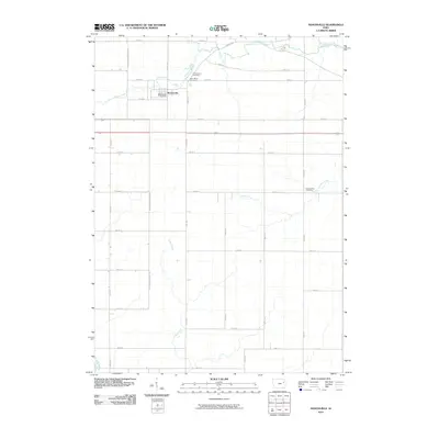 2010 Masonville2010 Print · USGSThe rural landscapes of Delaware County are captured here in the early twenty-first century, centered on the village of Masonville. Family historians can locate specific burial grounds like Saint Mary Cemetery and Sand Creek Cemetery among the winding banks of Coffins Creek.
 - 2010 Map of Thorpe, 2010 Print
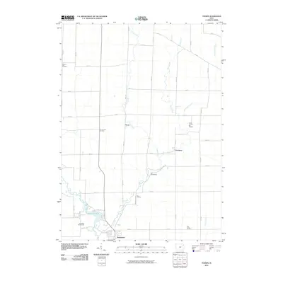 2010 Thorpe2010 Print · USGSManchester and its northern rural townships are captured here during the first decade of the millennium. Researchers can trace historic family burial sites like Thorpe Union Cemetery or find local landmarks like the Red Schoolhouse and Quaker Mill Pond.
 - 2010 Map of Manchester, 2010 Print
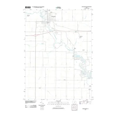 2010 Manchester2010 Print · USGSManchester and its surrounding townships are shown in this modern survey during a period of steady agricultural and municipal continuity. Local historians can trace family burial sites at Hamblin Cemetery and Lillibridge Cemetery or locate landmarks like the Delaware County Fairgrounds and Bailey's Ford Post Office.
 - 2010 Map of Earlville, 2010 Print
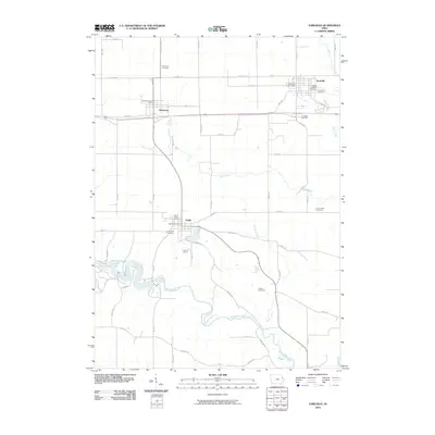 2010 Earlville2010 Print · USGSThe rural landscape of Delaware County is captured here in the early twenty-first century, centered on the communities of Earlville and Delhi. Genealogists and local historians can trace family plots at Saint Josephs Cemetery, Evergreen Cemetery, or the riverside Allison Cemetery.
 - 2010 Map of Hopkinton East, 2010 Print
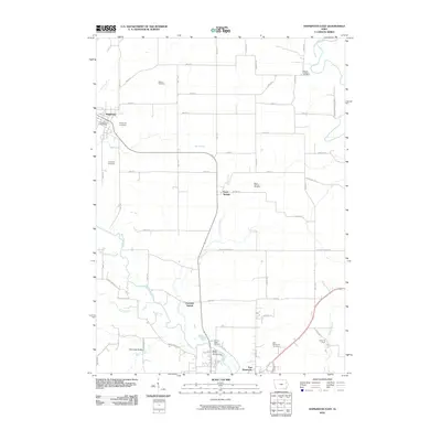 2010 Hopkinton East2010 Print · USGSEastern Jones and Delaware counties are documented in this 2010 survey as the rural landscape balances agriculture and local recreation. Genealogists can trace family names through Willard and Mount Pleasant cemeteries or locate the Hopkinton Post Office.
 - 2010 Map of Ryan, 2010 Print
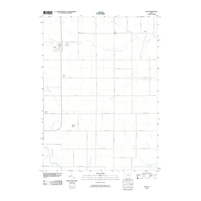 2010 Ryan2010 Print · USGSDelaware County agriculture and rural life are preserved here at the start of the twenty-first century. Genealogists can trace family histories at Pleasant Hill Cemetery or Calvary Cemetery, and locate landmarks like the Ryan Post Office and Hazel Green.
 - 2010 Map of Strawberry Point, 2010 Print
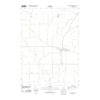 2010 Strawberry Point2010 Print · USGSStrawberry Point and the surrounding Clayton County farm country are captured here in the early twenty-first century. Researchers can locate ancestral sites at Saint Sebald, trace the winding Maquoketa River, and identify historic rural markers like Reeds Cemetery.
 - 2010 Map of Petersburg, 2010 Print
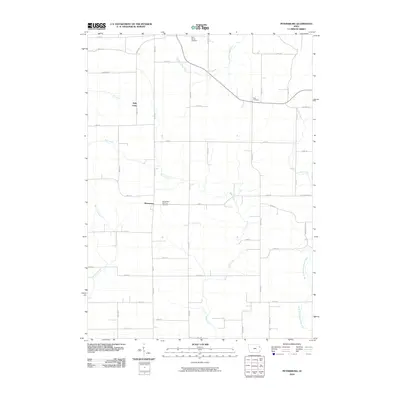 2010 Petersburg2010 Print · USGSNortheastern Iowa's farming heartland is captured here in the early twenty-first century, centered on the communities of Petersburg and Holy Cross. Genealogists can locate family burial sites at Saint Peter and Paul Cemetery or trace the winding course of the Little Turkey River.
 - 2013 Map of Masonville, 2013 Print
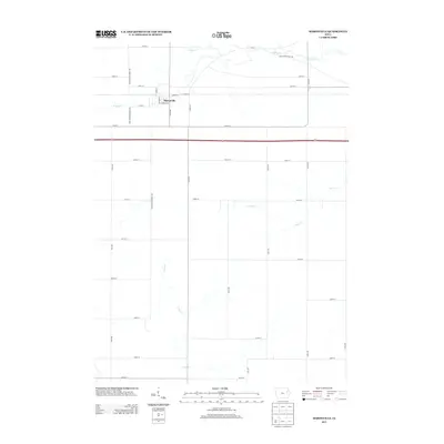 2013 Masonville2013 Print · USGSMasonville and the surrounding Delaware County farmlands are documented here in the early twenty-first century. Genealogists and local historians can trace the town's street grid and nearby historical routes like Early Stagecoach Rd and Silver Cr.
 - 2013 Map of Ryan, 2013 Print
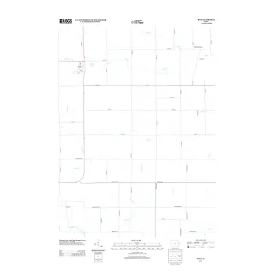 2013 Ryan2013 Print · USGSThe rural agricultural landscape of Delaware County is captured here in the early twenty-first century. Genealogists and local historians can trace the grid of section-line roads connecting Ryan and Hazel Green while following the courses of Buffalo Cr and Nugents Cr.
 - 2013 Map of Garber, 2013 Print
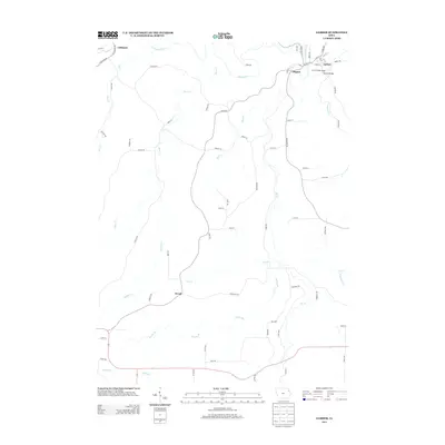 2013 Garber2013 Print · USGSThe confluence of the Volga and Turkey rivers shapes the landscape of northeastern Iowa in the early twenty-first century. Researchers can trace the layout of small river towns like Elkport, Garber, and Littleport, or locate landmarks such as the Garber Bridge.
 - 2013 Map of Coggon, 2013 Print
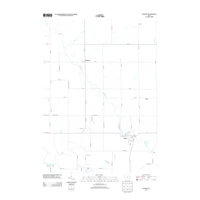 2013 Coggon2013 Print · USGSCoggon and the surrounding rural townships of Linn and Buchanan counties are captured here in the early 21st century. Researchers can trace historical footprints through small settlements like Robinson and Ehler or follow the winding course of Buffalo Cr.
 - 2013 Map of Hopkinton West, 2013 Print
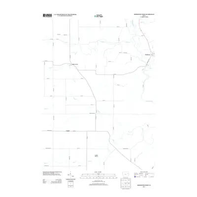 2013 Hopkinton West2013 Print · USGSDelaware County farmland and the winding Maquoketa River define this Iowa landscape in the early twenty-first century. Genealogists and researchers can trace the rural hubs of Buck Creek, Castle Grove, and Argand as they appeared before recent shifts in local infrastructure.
 - 2013 Map of Thorpe, 2013 Print
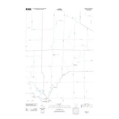 2013 Thorpe2013 Print · USGSDelaware County agriculture and the upper reaches of the Maquoketa River are documented here in the early twenty-first century. Genealogists and local historians can locate the Red Schoolhouse and the small communities of Thorpe and Dutchtown.
 - 2013 Map of Hopkinton East, 2013 Print
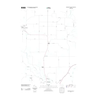 2013 Hopkinton East2013 Print · USGSJones County at the start of the twenty-first century reveals a landscape of river-valley settlements and rural road networks. Genealogists and local historians can trace the paths between Hopkinton, Sand Springs, and the landmarks surrounding the Maquoketa River.
 - 2013 Map of Manchester, 2013 Print
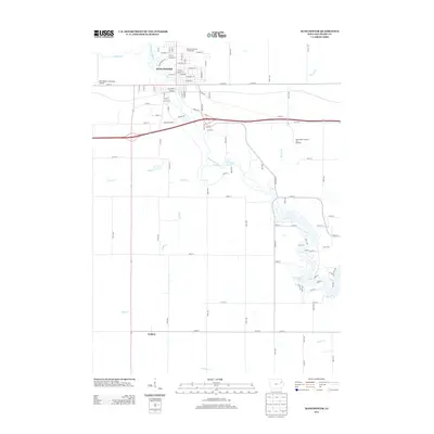 2013 Manchester2013 Print · USGSManchester and the Maquoketa River valley are shown here in the early twenty-first century as the region balanced its agricultural roots with modern infrastructure. Researchers can trace the river's path from the Delaware County Fairgrounds down to Hartwick Lake and the settlement of Golden.
 - 2013 Map of Earlville, 2013 Print
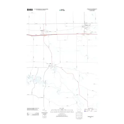 2013 Earlville2013 Print · USGSDelaware County enters the early twenty-first century as a landscape of rural townships and river valleys. Researchers can trace the street grids of Earlville and Delhi, or locate landmarks like the Tri-State Raceway and Hartwick Lake.
Showing maps 1-25 of 64
Top cities of Delaware County
- Manchester historical maps
- Earlville historical maps
- Hopkinton historical maps
- Delhi historical maps
- Colesburg historical maps
- Ryan historical maps
See more
Frequently asked questions
- What are the different types of historical maps available for Delaware County?
- What is the oldest map of Delaware County?
- Where can I purchase historical maps of Delaware County for my home or office?
- Where can I download high-res historical maps of Delaware County?
- Are there historical topographic maps available for Delaware County?
- Is there historical aerial imagery available for Delaware County?
- Where are historical maps of Delaware County sourced from?