2000s (21st Century) Maps of Wapello County, Iowa
Explore 75 historic maps of Wapello County from the 2000s (21st Century). These maps offer a rare glimpse into what life looked like during the 2000s — showing old roads, neighborhoods, homes, and landmarks that have changed or disappeared over time.
Whether you're researching your family's past, planning a metal detecting trip, or studying how Wapello County's landscape evolved across the 2000s, these high-resolution maps are a powerful tool for exploring the history of this region.
- Focus on a specific era: All maps on this page are from the 2000s, giving you a focused view of this time period.
- See what’s changed: Compare century-old streets, trails, and buildings to today's modern landscape using overlays and satellite layers.
- Research with precision: Use these maps for genealogy, historical research, land use analysis, or educational projects.
- View, download, or print: Maps are fully viewable online in high resolution, and can be downloaded or printed for your own records.
Start exploring Wapello County's history through authentic maps from the 2000s. This is your window into the past.
Wapello County, IA maps
(75)- 2010 Map of Fremont, 2010 Print
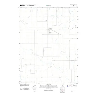 2010 Fremont2010 Print · USGSMahaska County agricultural life and rural infrastructure are documented here during the early twenty-first century. Genealogists can trace local heritage through several burial grounds including Ford Cemetery and Cedar Township Memorial Cemetery.
 - 2010 Map of Avery, 2010 Print
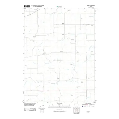 2010 Avery2010 Print · USGSMonroe County settlements and agricultural lands are captured here in the early twenty-first century. Researchers can trace dozens of family-named burial sites and rural communities, from the Johnston Family Cemetery to the crossroads at Frederic and Avery.
 - 2010 Map of Ottumwa South, 2010 Print
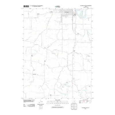 2010 Ottumwa South2010 Print · USGSOttumwa and its southern environs appear here at the start of the decade, where the Des Moines River bends through the Iowa heartland. Genealogists can locate numerous small burial sites like the Point Isabel Cemetery, Zion Cemetery, and the Ormanville Cemetery.
 - 2010 Map of Kirkville, 2010 Print
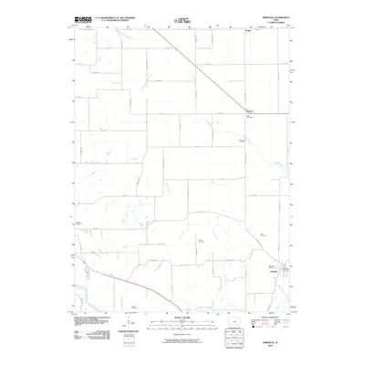 2010 Kirkville2010 Print · USGSThe rural uplands north of the Des Moines River are captured here at the start of the twenty-first century. Genealogists can locate several family burial grounds, including the Funk Family Cemetery, Stump Cemetery, and Wilcox Cemetery.
 - 2010 Map of Hedrick, 2010 Print
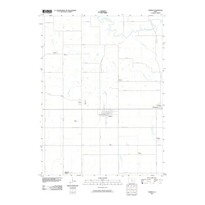 2010 Hedrick2010 Print · USGSKeokuk County farmland is documented here in the early 21st century, centered on the historic town of Hedrick. Researchers can trace local lineage through numerous rural burial grounds like Rayburn Cemetery or the Martinsburg Cemetery and locate small settlements such as Butler.
 - 2010 Map of Eddyville, 2010 Print
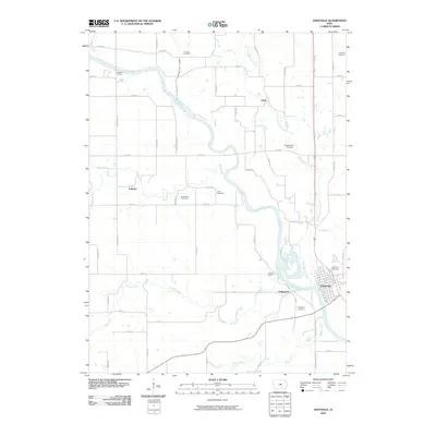 2010 Eddyville2010 Print · USGSThe Des Moines River valley comes to life in this early 2000s survey, showing the interconnected river towns and rural townships. Genealogists and local historians can trace family locations through numerous sites like Muchakinock Cemetery, Lakonta, and Bridgeport.
 - 2010 Map of Pekin, 2010 Print
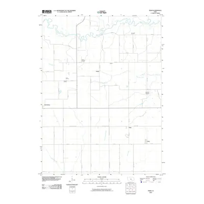 2010 Pekin2010 Print · USGSMartinsburg and the surrounding Keokuk County countryside are shown here in the early twenty-first century, defined by a landscape of small hamlets and river bends. Family historians can trace ancestral roots at sites like Jones Cemetery, Van Orsdall Cemetery, or the rural Linby settlement.
 - 2010 Map of Farson, 2010 Print
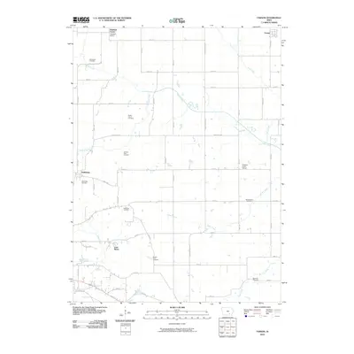 2010 Farson2010 Print · USGSWapello County's rural townships are documented in the early twenty-first century, featuring a landscape of section-line roads and creek bottoms. Genealogists can trace numerous family burial sites such as Nasby Corner Cemetery and Garrison Rock Cemetery, alongside the Pleasant Grove School.
 - 2010 Map of Eldon, 2010 Print
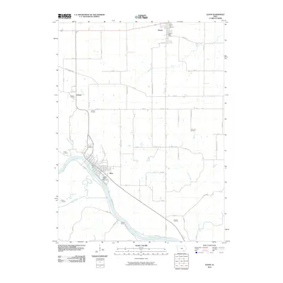 2010 Eldon2010 Print · USGSThe Des Moines River valley in Wapello County is captured here in the early 2000s, centered on the historic river town of Eldon. Researchers can trace old family burial grounds and civic landmarks like the Wapello County Fairgrounds, Iowaville Cemetery, and Ashland.
 - 2010 Map of Abingdon, 2010 Print
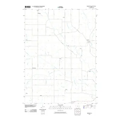 2010 Abingdon2010 Print · USGSIn this corner of rural Iowa during the early 21st century, a network of established townships and family-named cemeteries reveals the deep roots of the local community. Genealogists can trace family heritage at Walnut Hill Cemetery, Smith Cemetery, and Holmes Cemetery.
 - 2010 Map of Blakesburg NE, 2010 Print
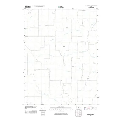 2010 Blakesburg NE2010 Print · USGSWapello County's agricultural heartland is documented here in the early twenty-first century. Genealogists and local historians can locate numerous small burial sites like Abegg Cemetery and Wellman Cemetery or trace the course of Little Soap Creek.
 - 2010 Map of Agency, 2010 Print
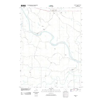 2010 Agency2010 Print · USGSWapello County's river-carved landscape comes into focus in the years after the turn of the millennium, centered on the historic town of Agency. Researchers can trace early family sites through numerous burial grounds like Chief Wapello Cemetery and Mars Hill Cemetery.
 - 2010 Map of Blakesburg, 2010 Print
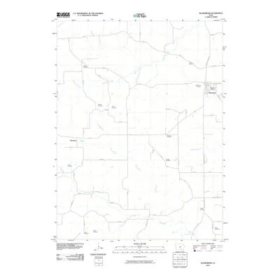 2010 Blakesburg2010 Print · USGSBlakesburg and the rolling countryside of Wapello County are captured here in the early twenty-first century. Genealogists can trace family heritage through an unusual concentration of burial sites, including Kipnart, Trussell, and Albany.
 - 2010 Map of Chillicothe, 2010 Print
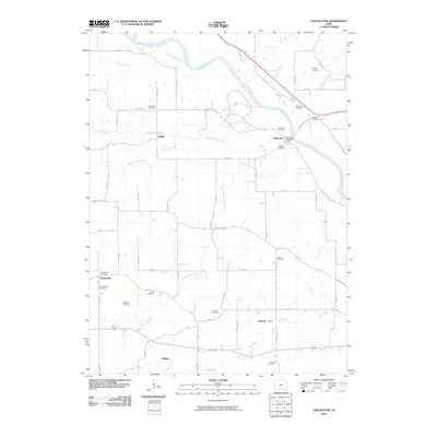 2010 Chillicothe2010 Print · USGSWapello County's river valley and rural uplands are captured here in the early twenty-first century as the area maintains its traditional agricultural character. Researchers can locate many family burial grounds and small settlements including Munterville, Chillicothe, and the Columbia Cemetery.
 - 2010 Map of Ottumwa North, 2010 Print
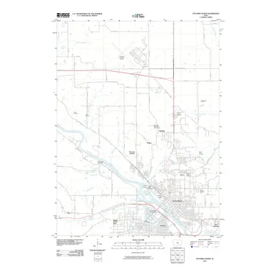 2010 Ottumwa North2010 Print · USGSOttumwa at the start of the 2010s shows a mature river-and-rail city where neighborhoods like Pickwick and East Ottumwa meet the bends of the Des Moines River. Researchers can trace local heritage through several distinct burial sites, including the Hebrew Jewish Cemetery and County Farm Cemetery.
 - 2013 Map of Chillicothe, 2013 Print
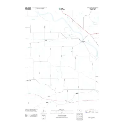 2013 Chillicothe2013 Print · USGSThe rural river lands of Wapello County are captured here during the early twenty-first century, centered on the Des Moines River and its many tributaries. Genealogists and local historians can trace the locations of Chillicothe, Dudley, and Munterville along the banks of Middle Avery Cr and Bear Cr.
 - 2013 Map of Fremont, 2013 Print
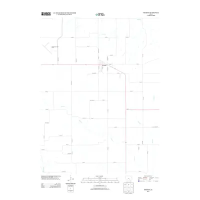 2013 Fremont2013 Print · USGSSoutheast Iowa's agricultural landscape is captured here during the early 2010s, centered on the crossroads community of Fremont. Genealogists and local historians can trace the rural road network and drainage patterns of Cedar Cr and Spring Cr near the Oskaloosa Municipal Airport.
 - 2013 Map of Kirkville, 2013 Print
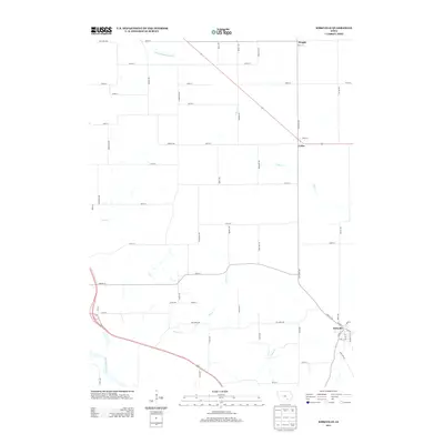 2013 Kirkville2013 Print · USGSSoutheast Iowa's rural landscape is captured here in the early twenty-first century, centered on the historic town of Kirkville. Researchers can trace local landmarks and property access along Cedar Cr or the banks of the Des Moines River.
 - 2013 Map of Abingdon, 2013 Print
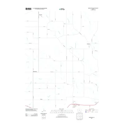 2013 Abingdon2013 Print · USGSAbingdon and the surrounding Jefferson County countryside are shown here in the early twenty-first century, featuring a landscape carved by winding creeks. Researchers can trace the layout of Abingdon, Bladensburg, and Competine alongside waterways like Cedar Cr.
 - 2013 Map of Pekin, 2013 Print
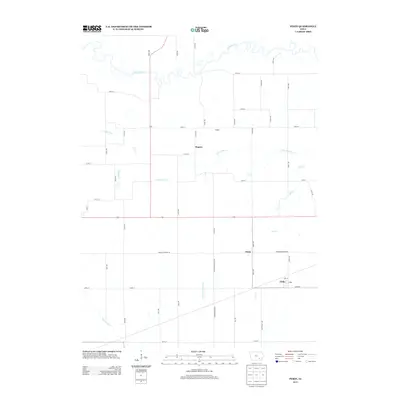 2013 Pekin2013 Print · USGSKeokuk County’s agricultural heartland is documented here in the early twenty-first century, showing a landscape of persistent farmsteads and rural crossroads. Local historians can trace the positions of Pekin, Nugent, and Linby along the banks of Steady Run and the S Skunk River.
 - 2013 Map of Avery, 2013 Print
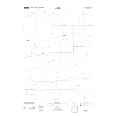 2013 Avery2013 Print · USGSMonroe County farmland and small rural hubs are captured here in the early 2010s. Genealogists and local historians can trace the creek-side settlements of Frederic and Avery or locate the crossroads at Pleasant Corner.
 - 2013 Map of Blakesburg NE, 2013 Print
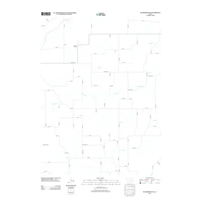 2013 Blakesburg NE2013 Print · USGSSoutheast Iowa's rural landscape is mapped here in the early twenty-first century, showing the intersection of agriculture and local aviation. Researchers can trace the drainages of Little Soap Cr and Village Cr or locate the Antique Airfield.
 - 2013 Map of Blakesburg, 2013 Print
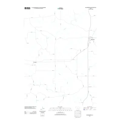 2013 Blakesburg2013 Print · USGSBlakesburg and the surrounding Wapello County farmland are captured here in the early twenty-first century. Researchers can trace the local drainage systems of Soap Creek and S Avery Creek or locate the quiet crossroads of Brompton.
 - 2013 Map of Eldon, 2013 Print
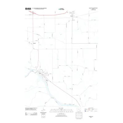 2013 Eldon2013 Print · USGSEldon and the southeastern Iowa countryside appear here in the early twenty-first century, centered on the Des Moines River valley. Genealogists and local historians can trace the town layouts of Eldon, Batavia, and the community at Ashland or locate the Wapello County Fairgrounds.
 - 2013 Map of Agency, 2013 Print
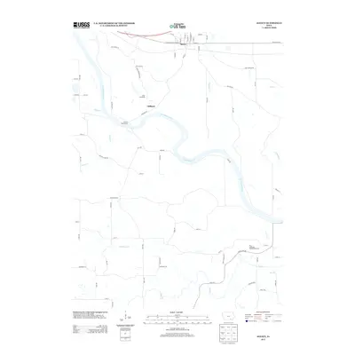 2013 Agency2013 Print · USGSSoutheast Iowa's riverine landscape is captured here in the early twenty-first century, centered on the historic town of Agency and the Des Moines River. Researchers can trace local landmarks like Camp Arrowhead, the Cliffland settlement, and the New Laddsdale Woodland Retreat.
Showing maps 1-25 of 75
Top cities of Wapello County
- Ottumwa historical maps
- Eldon historical maps
- Agency historical maps
- Blakesburg historical maps
- Kirkville historical maps
- Chillicothe historical maps
Frequently asked questions
- What are the different types of historical maps available for Wapello County?
- What is the oldest map of Wapello County?
- Where can I purchase historical maps of Wapello County for my home or office?
- Where can I download high-res historical maps of Wapello County?
- Are there historical topographic maps available for Wapello County?
- Is there historical aerial imagery available for Wapello County?
- Where are historical maps of Wapello County sourced from?