Old Maps of Sun City, Kansas for Genealogy
Trace your family roots with 17 historic maps of Sun City. These high-res maps reveal old neighborhoods, homesites, landmarks, and streets — helping you uncover where your ancestors lived and how the area evolved over time.
- Explore historic neighborhoods: Identify where your relatives may have lived in the 1800s or 1900s.
- Compare maps over time: Trace the changes in streets, buildings, and landmarks for multi-generational research.
- Perfect for genealogy & ancestry research: Used by family historians and researchers to map out lineage and migration.
These maps are an incredible resource for exploring your personal connection to Sun City's past.
Sun City, KS maps
(17)- 1891 Map of Medicine Lodge
 1891 Medicine Lodge1891 Print · USGSBarber County appears here during the late nineteenth-century rail expansion, centered on the growth of the Medicine Lodge river valley. Genealogists and researchers can trace early town sites and river crossings like Sun City, Lake City, and the Atchison Topeka and Santa Fe Railroad line.
 - 1893 Map of Medicine Lodge
 1893 Medicine Lodge1893 Print · USGSBarber County and the Medicine Lodge River valley are shown here in the early nineties, during the peak of late-frontier settlement. Researchers can locate early township centers and rail stops like Elm Mills, Sun City, and Medicine Lodge.5 unique versions available
 - 1955 Map of Pratt, 1968 Print
 1955 Pratt1968 Print · USGSSouth-central Kansas during the mid-fifties presents a landscape of sprawling oil fields and critical rail junctions. Researchers can trace the paths of the Atchison Topeka and Santa Fe railroad or locate local landmarks like the Blue Ridge Community House and Camp Carlisle.3 unique versions available
 - 1959 Map of Pratt
 1959 Pratt1959 Print · USGSSouth-central Kansas thrived as a rail and agricultural hub in the late fifties, where the Arkansas River meets a vast grid of section roads. Researchers can trace the path of the Missouri Pacific railroad through settlements like Turon and Stafford, or locate family landmarks like the Prairie Oak School.2 unique versions available
 - 1968 Map of Sun City SW, 1969 Print
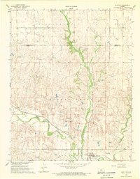
 1968 Sun City SW1969 Print · USGSBarber County’s energy and rail landscape is caught in detail during the late sixties, highlighting the intersection of the Medicine Lodge River and industrial growth. Researchers can trace the Atchison Topeka and Santa Fe rail line alongside the Sun City Oil and Gas Field and landmarks like Memorial Bridge.2 unique versions available
 - 1968 Map of Sun City, 1969 Print
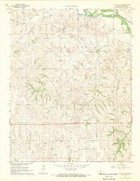
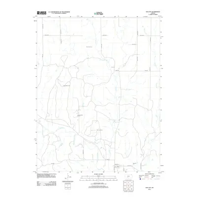
 1968 Sun City1969 Print · USGSSun City and the Barber County cattle country are captured in the late sixties as the local economy balanced rail transport with a growing energy sector. Genealogists and researchers can trace the Medicine Lodge River and find Chinn Cem, Sunnyside Cem, and the Sun City Oil Field.
 - 1985 Map of Medicine Lodge
 1985 Medicine Lodge1985 Print · USGSThe Kansas prairie of the mid-eighties shows a landscape of deep-rooted rail towns and historic land divisions. Genealogists and researchers can trace the Old Indian Treaty Boundary and locate family sites near Riverview Cem or the town of Anthony.2 unique versions available
 - 2009 Map of Sun City, 2009 Print
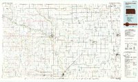
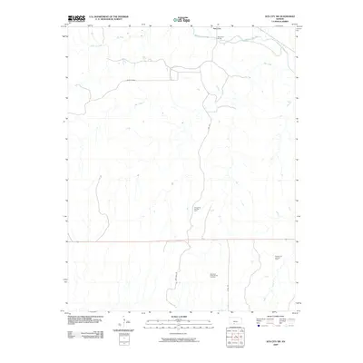
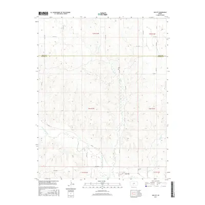
 2009 Sun City2009 Print · USGSCovers Sun City, including Pratt County, Barber County, and other nearby areas
 - 2009 Map of Sun City SW, 2009 Print
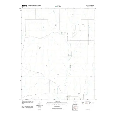
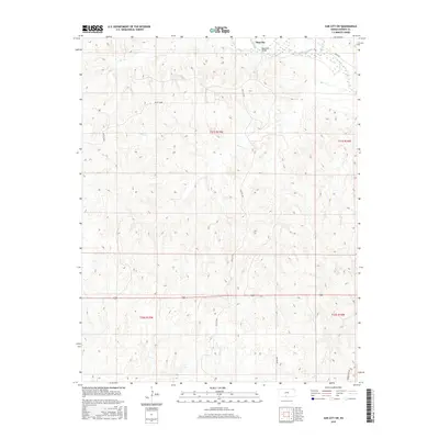
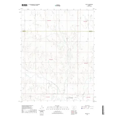
 2009 Sun City SW2009 Print · USGSCovers Sun City, including Barber County, United States, and other nearby areas
 - 2012 Map of Sun City, 2012 Print
 2012 Sun City2012 Print · USGSCovers Sun City, including Pratt County, Barber County, and other nearby areas
 - 2012 Map of Sun City SW, 2012 Print
 2012 Sun City SW2012 Print · USGSCovers Sun City, including Barber County, United States, and other nearby areas
 - 2015 Map of Sun City SW, 2015 Print
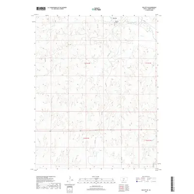
 2015 Sun City SW2015 Print · USGSCovers Sun City, including Barber County, United States, and other nearby areas
 - 2015 Map of Sun City, 2015 Print
 2015 Sun City2015 Print · USGSCovers Sun City, including Pratt County, Barber County, and other nearby areas
 - 2018 Map of Sun City, 2018 Print
 2018 Sun City2018 Print · USGSCovers Sun City, including Pratt County, Barber County, and other nearby areas
 - 2018 Map of Sun City SW, 2018 Print
 2018 Sun City SW2018 Print · USGSCovers Sun City, including Barber County, United States, and other nearby areas
 - 2022 Map of Sun City, 2022 Print
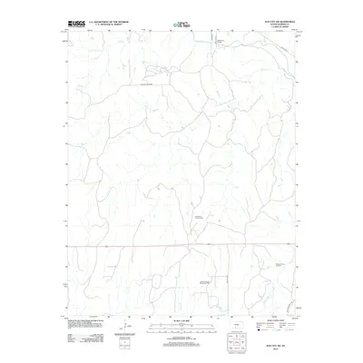
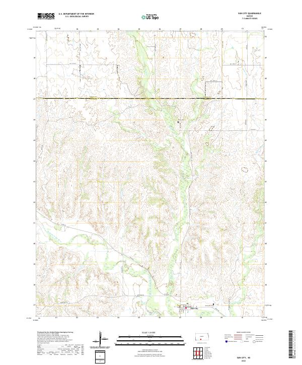 2022 Sun City2022 Print · USGSThe Barber County plains meet the Medicine Lodge River in the early 2020s, revealing a landscape shaped by water and tradition. Genealogists can locate family sites at Sunnyside Cem and Chinn Cem or trace the early industrial footprint of Elm Mills.
 - 2022 Map of Sun City SW, 2022 Print
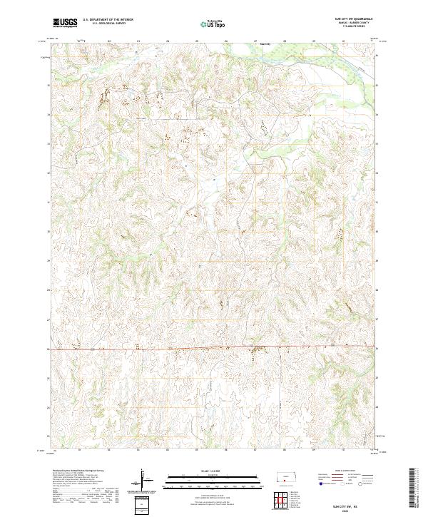 2022 Sun City SW2022 Print · USGSBarber County's rugged drainage networks and the valley of the Medicine Lodge River are captured here in the early twenty-first century. Researchers can trace the winding paths of Bear Cr and Inman Cr or locate the unique terrain of White Sands.
End of results
Showing maps 1-17 of 17
Top cities near Sun City
Frequently asked questions
- What are the different types of historical maps available for Sun City?
- What is the oldest map of Sun City?
- Where can I purchase historical maps of Sun City for my home or office?
- Where can I download high-res historical maps of Sun City?
- Are there historical topographic maps available for Sun City?
- Is there historical aerial imagery available for Sun City?
- Where are historical maps of Sun City sourced from?