2000-2009 Maps of Dickinson County, Kansas
Explore 23 historic maps of Dickinson County from 2000-2009. These maps offer a rare glimpse into what life looked like during the 2000s — showing old roads, neighborhoods, homes, and landmarks that have changed or disappeared over time.
Whether you're researching your family's past, planning a metal detecting trip, or studying how Dickinson County's landscape evolved across the 2000s, these high-resolution maps are a powerful tool for exploring the history of this region.
- Focus on a specific era: All maps on this page are from the 2000s, giving you a focused view of this time period.
- See what’s changed: Compare century-old streets, trails, and buildings to today's modern landscape using overlays and satellite layers.
- Research with precision: Use these maps for genealogy, historical research, land use analysis, or educational projects.
- View, download, or print: Maps are fully viewable online in high resolution, and can be downloaded or printed for your own records.
Start exploring Dickinson County's history through authentic maps from the 2000s. This is your window into the past.
Dickinson County, KS maps
(23)- 2009 Map of Elmo, 2009 Print
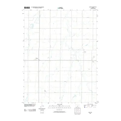 2009 Elmo2009 Print · USGSMid-century Dickinson County rural life is preserved here, showing the agricultural grid and creek systems of central Kansas. Genealogists can locate family sites near Mount Calvary Cemetery or Ashton Cemetery and the small communities of Elmo and Dillon.
 - 2009 Map of Carlton, 2009 Print
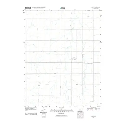 2009 Carlton2009 Print · USGSDickinson County's agricultural heartland is documented here in the early 2000s, centered on the rural community of Carlton. Genealogists and local historians can trace legacy sites like Woodlawn Cemetery, Fairview Cemetery, and the banks of West Holland Creek.
 - 2009 Map of Hope, 2009 Print
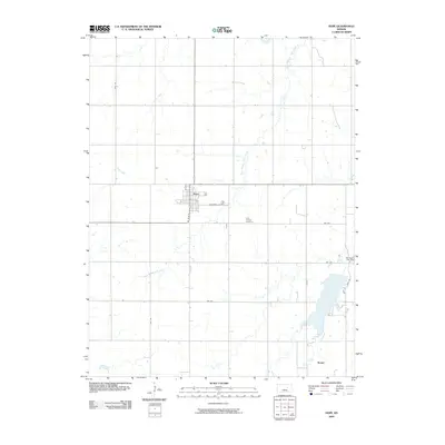 2009 Hope2009 Print · USGSThe Dickinson County prairie is captured in the early twenty-first century, centered on the grid of Hope and its surrounding farmsteads. Local historians can trace the rural landscape through Saint Phillips Cemetery, the waters behind Herington City Dam, and the small community of Rishel.
 - 2009 Map of Lost Springs, 2009 Print
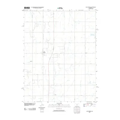 2009 Lost Springs2009 Print · USGSLost Springs and the surrounding prairie of Marion County are captured here during the first decade of the 2000s. Researchers can locate local landmarks like Old Mission Cemetery, Hartke Cemetery, and the Lost Springs Oil Field along the rural roads.
 - 2009 Map of Ramona, 2009 Print
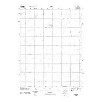 2009 Ramona2009 Print · USGSMarion County farming communities and the grid of the central Kansas prairie are shown here as they appeared in 2009. Genealogists and local historians can locate Lewis Cemetery in Ramona or trace the drainage of Lyon Creek and East Turkey Creek.
 - 2009 Map of Tampa, 2009 Print
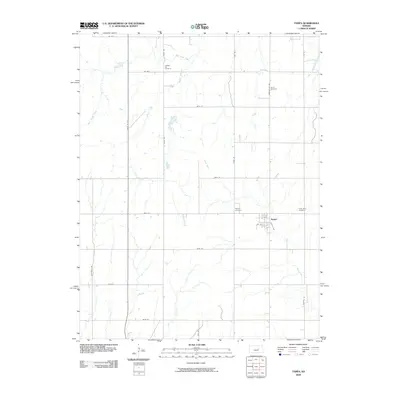 2009 Tampa2009 Print · USGSIn the early twenty-first century, Tampa remains the heart of this Marion County agricultural landscape. Genealogists and local researchers can locate several historical burial sites, including College Hill Cemetery, Saint Mary Cemetery, and North Cemetery.
 - 2009 Map of Herington, 2009 Print
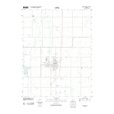 2009 Herington2009 Print · USGSHerington and the surrounding Kansas plains are documented here at the start of the millennium, showing a landscape defined by agriculture and rail history. Researchers can trace family roots at Saint Johns Cemetery or Mitchell Valley Cemetery and explore the town's growth near Lake Herington.
 - 2009 Map of Gypsum SE, 2009 Print
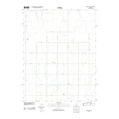 2009 Gypsum SE2009 Print · USGSSaline County at the close of the first decade of the 2000s remains a landscape of traditional agriculture and petroleum extraction. Researchers can trace family history through several burial sites like Friedenstal Cemetery and follow the path of Chisholm Trail Rd.
 - 2009 Map of Manchester, 2009 Print
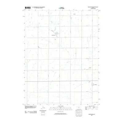 2009 Manchester2009 Print · USGSManchester and Talmage are shown at the end of the first decade of the 2000s, surrounded by the classic agricultural grid of Dickinson County. Genealogists and local historians can locate early burial sites like Keystone Cemetery and White Cloud Cemetery along the drainage of Mud Creek.
 - 2009 Map of Longford, 2009 Print
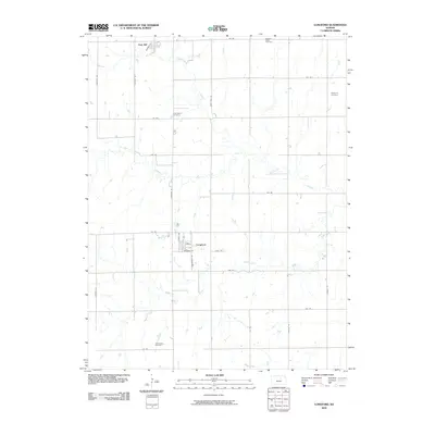 2009 Longford2009 Print · USGSClay County at the end of the decade reveals a landscape shaped by prairie creeks and a rigid road grid. Genealogists can locate family names at Swartwood Cemetery or Rose Meron Cemetery and trace the small-town streets of Longford.
 - 2009 Map of Abilene, 2009 Print
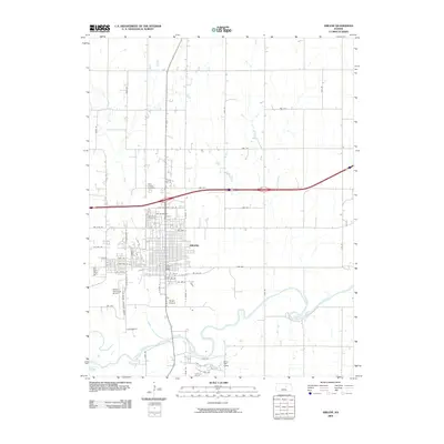 2009 Abilene2009 Print · USGSAbilene and its surrounding river valley are shown here at the close of the first decade of the 2000s. Researchers can locate local landmarks like the Abilene Post Office, Saint Joseph Cemetery, and the banks of the Smoky Hill River.
 - 2009 Map of Niles, 2009 Print
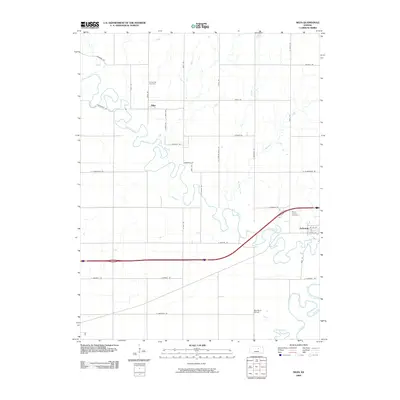 2009 Niles2009 Print · USGSThe confluence of the Solomon River and Smoky Hill River defines this central Kansas landscape in the early twenty-first century. Researchers can trace rural community foundations through sites like the Red Brick School and Greenville Cemetery.
 - 2009 Map of Woodbine, 2009 Print
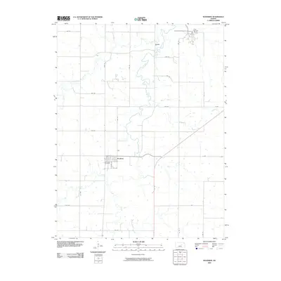 2009 Woodbine2009 Print · USGSThe rural landscape of Dickinson County is captured here in the early 21st century as the community of Woodbine remains centered on Lyon Creek. Genealogists and local researchers can locate Woodbine Cemetery and the northern camps at Camp-Wa-shun-ga and Rock Springs Ranch.
 - 2009 Map of Navarre, 2009 Print
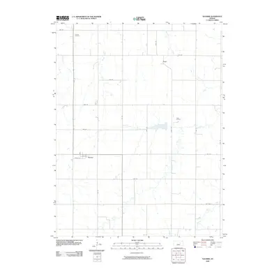 2009 Navarre2009 Print · USGSDickinson County farmland and small rural communities are captured here in the early twenty-first century. Genealogists and local historians can locate early family landmarks such as Scheittler Cemetery and Riffel Cemetery near the village of Navarre.
 - 2009 Map of Kansas Falls, 2009 Print
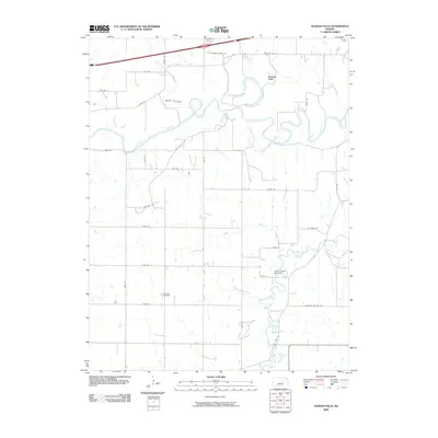 2009 Kansas Falls2009 Print · USGSThe Smoky Hill River valley south of Junction City remained a landscape of prairie farms and quiet watercourses in the late 2000s. Researchers can locate Rinehart Cemetery and trace the paths of Lyon Creek and the historic Old Hwy 40.
 - 2009 Map of Buckeye, 2009 Print
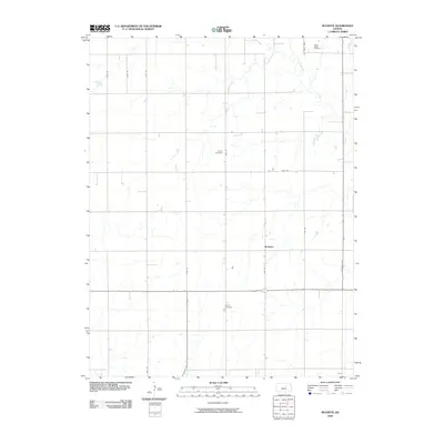 2009 Buckeye2009 Print · USGSBuckeye and the surrounding Dickinson County farmlands are captured in this early twenty-first-century survey. You can trace local genealogy through several rural landmarks, including Green Ridge Cemetery, Henry Cemetery, and the quiet course of Chapman Creek.
 - 2009 Map of Industry, 2009 Print
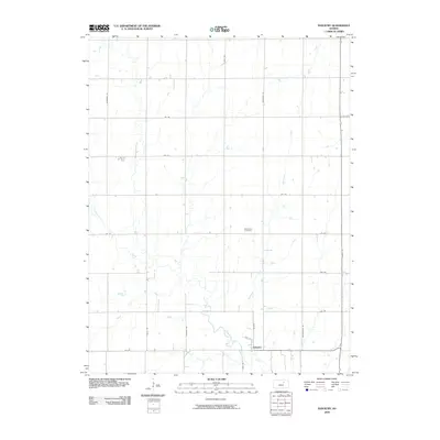 2009 Industry2009 Print · USGSClay County at the end of the 2000s shows a structured rural landscape where small settlements meet the prairie. Genealogists and local researchers can trace the paths of Chapman Creek and McMurray Creek near the town of Industry and the Athelstane Cemetery.
 - 2009 Map of Holland, 2009 Print
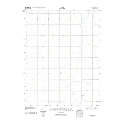 2009 Holland2009 Print · USGSAgricultural life in Dickinson County during the early twenty-first century is defined here by the steady grid of rural roads and the waters of Holland Creek. Researchers can locate the small communities of Holland and Acme or find family history at Green Lawn Cemetery.
 - 2009 Map of Solomon, 2009 Print
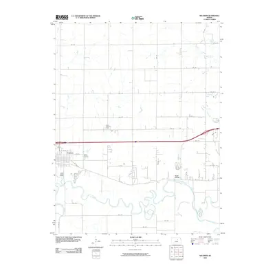 2009 Solomon2009 Print · USGSThe Solomon area in the early twenty-first century is defined by the winding Smoky Hill River and its historic travel routes. Researchers can trace the layout of Solomon, locate Prairie Mound Cemetery, and find King Solomon Camp.
 - 2009 Map of Upland, 2009 Print
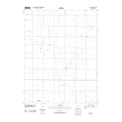 2009 Upland2009 Print · USGSAgricultural Dickinson County is shown in detail here during the first decade of the millennium, revealing a landscape defined by section roads and prairie creeks. Genealogists can locate family sites near Liberty Cemetery and Jones Cemetery or the community at Upland.
 - 2009 Map of Chapman, 2009 Print
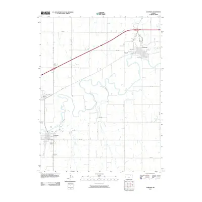 2009 Chapman2009 Print · USGSThe Smoky Hill River valley in Dickinson County is captured here at the close of the 2000s, showing the enduring layouts of agricultural river towns. Genealogists and local historians can trace property boundaries and landmarks from Indian Hill Cemetery to the streets of Enterprise and Detroit.
 - 2009 Map of Milford Dam, 2009 Print
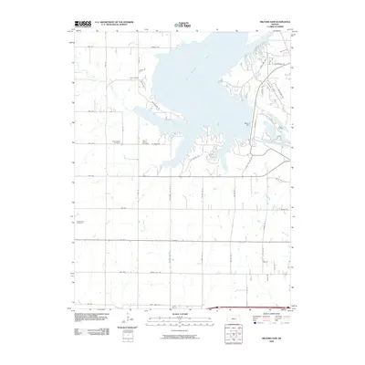 2009 Milford Dam2009 Print · USGSThe Republican River valley is seen here in the early twenty-first century, centered on the massive water management works of Milford Dam. Researchers can trace old family burial grounds including Alida Cemetery and Good Hope Cemetery along the Milford Lake shoreline.
 - 2009 Map of Abilene SW, 2009 Print
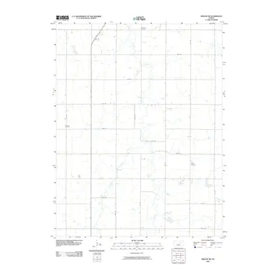 2009 Abilene SW2009 Print · USGSThe Dickinson County prairie at the close of the first decade of the 2000s shows a landscape defined by industrial agriculture and rural heritage. Genealogists can locate family landmarks like Farmington Cemetery, Newburn Cemetery, and the winding Turkey Creek.
End of results
Showing maps 1-23 of 23
Top cities of Dickinson County
- Abilene historical maps
- Herington historical maps
- Chapman historical maps
- Chapman historical maps
- Enterprise historical maps
- Buckeye historical maps
See more
Frequently asked questions
- What are the different types of historical maps available for Dickinson County?
- What is the oldest map of Dickinson County?
- Where can I purchase historical maps of Dickinson County for my home or office?
- Where can I download high-res historical maps of Dickinson County?
- Are there historical topographic maps available for Dickinson County?
- Is there historical aerial imagery available for Dickinson County?
- Where are historical maps of Dickinson County sourced from?