2010s Maps of Graham County, Kansas
Explore 78 historic maps of Graham County from the 2010s. These maps offer a rare glimpse into what life looked like during the 2010s — showing old roads, neighborhoods, homes, and landmarks that have changed or disappeared over time.
Whether you're researching your family's past, planning a metal detecting trip, or studying how Graham County's landscape evolved across the 2010s, these high-resolution maps are a powerful tool for exploring the history of this region.
- Focus on a specific era: All maps on this page are from the 2010s, giving you a focused view of this time period.
- See what’s changed: Compare century-old streets, trails, and buildings to today's modern landscape using overlays and satellite layers.
- Research with precision: Use these maps for genealogy, historical research, land use analysis, or educational projects.
- View, download, or print: Maps are fully viewable online in high resolution, and can be downloaded or printed for your own records.
Start exploring Graham County's history through authentic maps from the 2010s. This is your window into the past.
Graham County, KS maps
(78)- 2010 Map of Penokee, 2010 Print
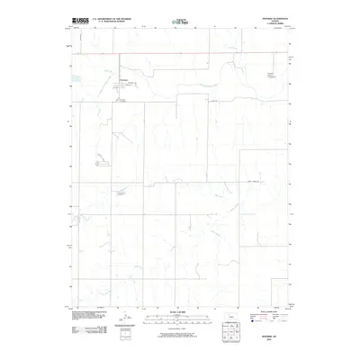 2010 Penokee2010 Print · USGSIn the early twenty-first century, this Graham County landscape centers on the small community of Penokee and the South Fork Solomon River. Genealogists and local historians can trace family roots through the Penokee Cemetery and Brush Creek Cemetery.
 - 2010 Map of Lenora West, 2010 Print
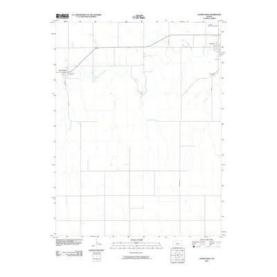 2010 Lenora West2010 Print · USGSNorton County at the start of the 2010s reveals a quiet landscape of river valleys and rural crossroads. Local researchers can trace family sites near New Almelo, Saint Joseph Cemetery, and the banks of the North Fork Solomon River.
 - 2010 Map of Saint Peter, 2010 Print
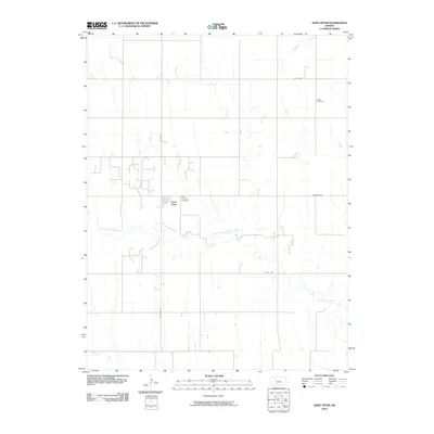 2010 Saint Peter2010 Print · USGSThe rural high plains of Graham County are captured here in 2010, centered on the small community of Saint Peter. Researchers can trace local burial sites and family land ties at Saint Anthony Cemetery and follow the path of the North Fork Saline River.
 - 2010 Map of Bogue, 2010 Print
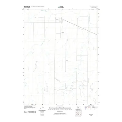 2010 Bogue2010 Print · USGSThe Bogue area of Graham County comes into focus in the early twenty-first century as a landscape of river valleys and rural cemeteries. Genealogists and local historians can trace family ties at Fagan Cemetery, Wild Horse Cemetery, and Samuels Cemetery.
 - 2010 Map of Hill City South, 2010 Print
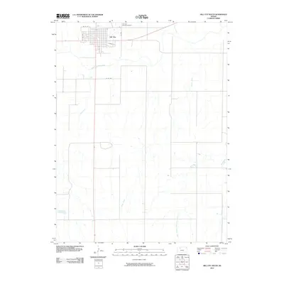 2010 Hill City South2010 Print · USGSHill City and the surrounding Graham County plains are captured here in the early twenty-first century as the landscape remains centered on its river valleys. You can trace the local street grid and find landmarks like the Hill City Municipal Airport and South Fork Solomon River.
 - 2010 Map of Hill City NW, 2010 Print
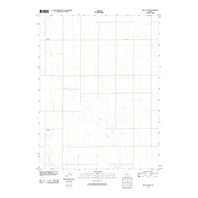 2010 Hill City NW2010 Print · USGSNorthwest Graham County at the start of the 2010s remains a landscape of wide agricultural tracts and prairie streams. Genealogists and local historians can locate remote burial sites like South Star Cemetery and trace the paths of Bow Creek and Sand Creek.
 - 2012 Map of Edmond SE, 2012 Print
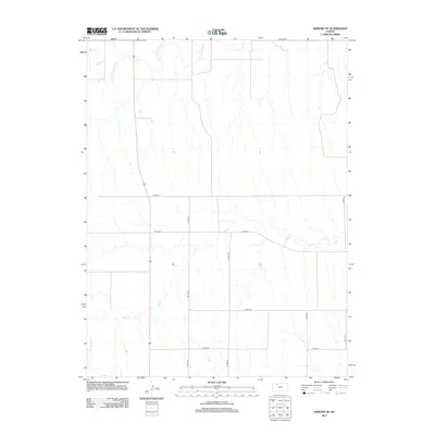 2012 Edmond SE2012 Print · USGSNorton County agricultural lands are captured here in the early 2010s, showcasing the intersection of the prairie landscape and the section-line grid. Researchers can trace the winding course of the N Fork Solomon River or locate rural landmarks along Road E E and Bow Cr.
 - 2012 Map of Bogue, 2012 Print
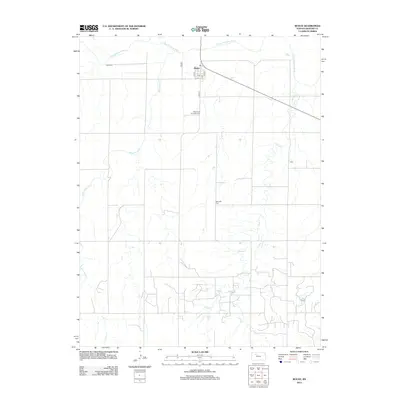 2012 Bogue2012 Print · USGSAcross the Graham County plains in 2012, the small community of Bogue serves as a hub for the surrounding ranching and farm lands. Genealogists can locate several family-named landmarks and burial sites, including Fagan Cem, Samuels Cem, and the Wild Horse Township Cem.
 - 2012 Map of Bogue NW, 2012 Print
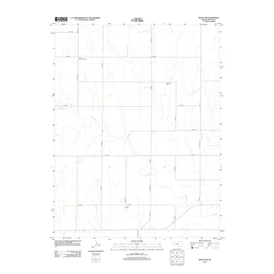 2012 Bogue NW2012 Print · USGSGraham County’s rural landscape is captured here in the early twenty-first century, showing a territory defined by agricultural section lines and seasonal waterways. Genealogists can locate McFarland Cem and Mount Olive Cem, or trace the path of Old Bogue Rd.
 - 2012 Map of Lenora West, 2012 Print
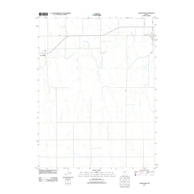 2012 Lenora West2012 Print · USGSNorthwestern Kansas farmland along the N Fork Solomon River appears here in the early twenty-first century. Researchers can locate the settlement of New Almelo and trace family heritage at Saint Joseph Cem or Lenora Cem.
 - 2012 Map of Saint Peter, 2012 Print
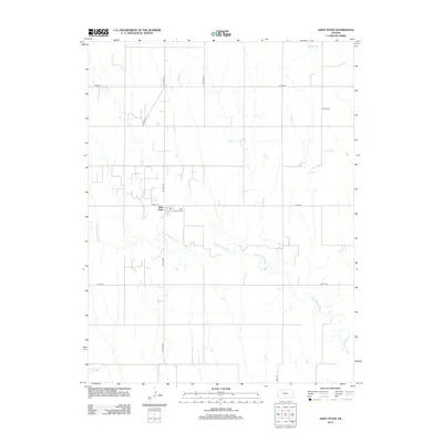 2012 Saint Peter2012 Print · USGSSaint Peter and its surrounding Graham County acreage are captured here in the early twenty-first century as a landscape of structured prairie and winding river forks. Genealogists and local historians can trace the paths of St Peter Rd and Cemetery Rd to locate the Saint Anthony Cem and Leland Cem.
 - 2012 Map of Penokee, 2012 Print
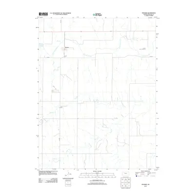 2012 Penokee2012 Print · USGSPenokee and the surrounding Graham County farmland are documented here during the early twenty-first century. Genealogists can locate family landmarks like Penokee Cem and Brush Creek Cem situated along the S Fork Solomon River.
 - 2012 Map of Wild Horse Creek, 2012 Print
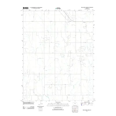 2012 Wild Horse Creek2012 Print · USGSRooks County reveals its modern agricultural footprint and rural road network in the years following the turn of the millennium. Researchers can trace the path of Spring Cr as it cuts through the structured grid of regional farm roads.
 - 2012 Map of Lucerne, 2012 Print
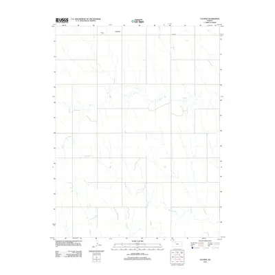 2012 Lucerne2012 Print · USGSLucerne and the surrounding Sheridan County plains are documented here in the early twenty-first century. Genealogists and historians can trace the local landscape through landmarks like Lucerne Cem and the drainages of Bow Cr and Antelope Cr.
 - 2012 Map of Morland, 2012 Print
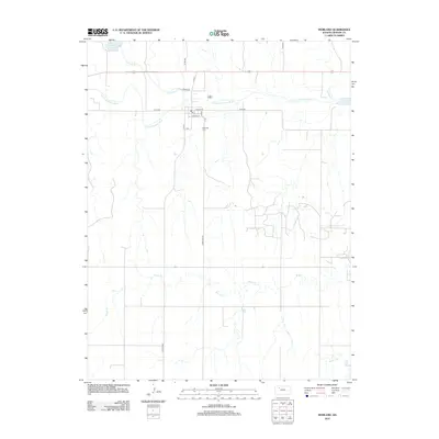 2012 Morland2012 Print · USGSMorland sits at the heart of this Graham County landscape during the early 2010s, positioned along the winding S Fork Solomon River. Genealogists and local historians can trace the town's footprint from W Main St to the Morland Cem and Antelope Lake.
 - 2012 Map of Palco, 2012 Print
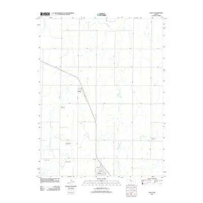 2012 Palco2012 Print · USGSRooks County life in the early 21st century is defined by the intersection of high-plains agriculture and the local oil industry. Researchers can trace property lines along the lettered road grid or locate family sites near Saint Joseph Cem, Palco Cem, and the Gra-Rook Oil Field.
 - 2012 Map of Togo, 2012 Print
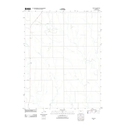 2012 Togo2012 Print · USGSGraham County, Kansas, is shown here in the early twenty-first century, preserving the quiet, rural character of the High Plains. Researchers can trace the drainage patterns of Chalk Cr and Happy Cr or locate the small community of Togo along the main highway.
 - 2012 Map of Hill City NW, 2012 Print
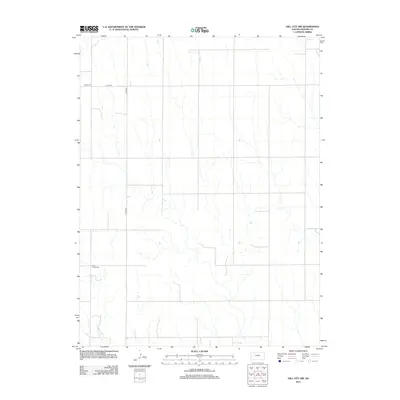 2012 Hill City NW2012 Print · USGSGraham County, Kansas, is seen here in its modern agricultural character, where long section-line roads define the high plains. Genealogists and local historians can locate rural burial sites like S Star Cem and Rock Creek Cem near Rock Cr.
 - 2012 Map of Redline Church, 2012 Print
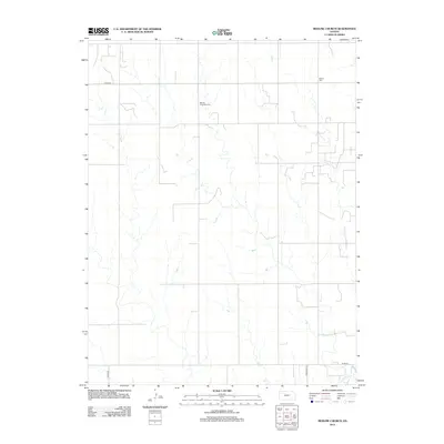 2012 Redline Church2012 Print · USGSTrego County is seen here in the early twenty-first century, showing a landscape defined by traditional section-line roads and prairie drainages. Researchers can locate family sites near Morlan Township Cem or trace the southern valley of the Saline River.
 - 2012 Map of Logan SE, 2012 Print
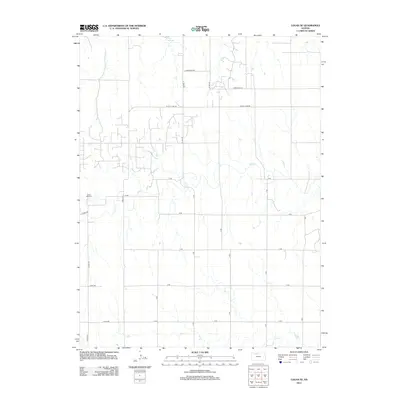 2012 Logan SE2012 Print · USGSPhillips County agricultural lands are documented here in the early twenty-first century, centered on the drainage of Bow Cr. Researchers can locate Prairie Dale Cem or trace rural infrastructure along W Cozy Cove Rd and A RD.
 - 2012 Map of Hill City North, 2012 Print
 2012 Hill City North2012 Print · USGSGraham County agricultural life remains centered on the section-line roads and creek drainages during the early twenty-first century. Researchers can trace local history through Roscoe Cem and Hill City Cem, or locate the sites of Smithfield and Roscoe.
 - 2012 Map of Logan SW, 2012 Print
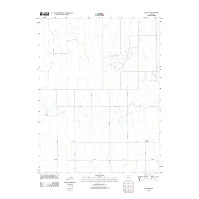 2012 Logan SW2012 Print · USGSNorton County's rural landscape is captured here in the early twenty-first century, showcasing a region defined by agricultural heritage and vast open range. Genealogists and local historians can pinpoint family burial sites such as Whitfield Cem and Buchanan Brown Cem along the Bow Cr drainage.
 - 2012 Map of Lenora East, 2012 Print
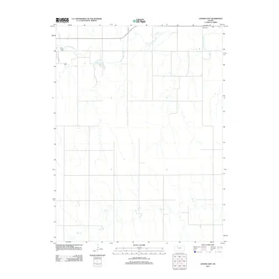 2012 Lenora East2012 Print · USGSEastern Norton County is shown in the early 2010s as a landscape of prairie streams and rural crossroads. Researchers can locate family sites near Lenora E Cem and Modell Cem or trace the drainage of the N Fork Solomon River.
 - 2012 Map of Hill City South, 2012 Print
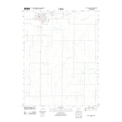 2012 Hill City South2012 Print · USGSHill City and the surrounding Graham County plains are documented here in the early twenty-first century. Researchers can trace the town's street layout near the Post Office and follow the natural drainage of the South Fork Solomon River and Skunk Creek.
 - 2012 Map of Hay Hollow, 2012 Print
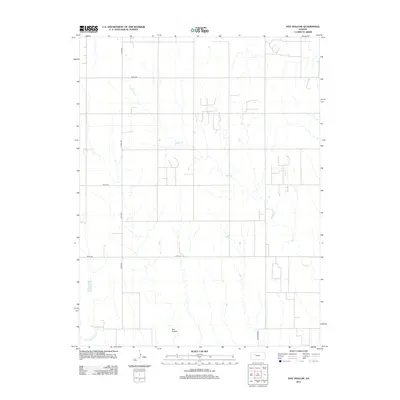 2012 Hay Hollow2012 Print · USGSTrego County is captured here in the early twenty-first century, showing a landscape defined by agricultural road grids and the drainage of the Smoky Hills. Researchers can trace the path of Happy Cr toward Hay Hollow or locate rural landmarks like Sale Barn Rd.
Showing maps 1-25 of 78
Top cities of Graham County
Frequently asked questions
- What are the different types of historical maps available for Graham County?
- What is the oldest map of Graham County?
- Where can I purchase historical maps of Graham County for my home or office?
- Where can I download high-res historical maps of Graham County?
- Are there historical topographic maps available for Graham County?
- Is there historical aerial imagery available for Graham County?
- Where are historical maps of Graham County sourced from?