2000s (21st Century) Maps of Lane County, Kansas
Explore 100 historic maps of Lane County from the 2000s (21st Century). These maps offer a rare glimpse into what life looked like during the 2000s — showing old roads, neighborhoods, homes, and landmarks that have changed or disappeared over time.
Whether you're researching your family's past, planning a metal detecting trip, or studying how Lane County's landscape evolved across the 2000s, these high-resolution maps are a powerful tool for exploring the history of this region.
- Focus on a specific era: All maps on this page are from the 2000s, giving you a focused view of this time period.
- See what’s changed: Compare century-old streets, trails, and buildings to today's modern landscape using overlays and satellite layers.
- Research with precision: Use these maps for genealogy, historical research, land use analysis, or educational projects.
- View, download, or print: Maps are fully viewable online in high resolution, and can be downloaded or printed for your own records.
Start exploring Lane County's history through authentic maps from the 2000s. This is your window into the past.
Lane County, KS maps
(100)- 2009 Map of Manning, 2009 Print
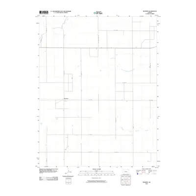 2009 Manning2009 Print · USGSThe High Plains of Scott County are captured here in the late 2000s, centered on the settlement of Manning. You can trace rural family-named roads and the winding paths of the Middle Fork Walnut Creek and West Salt Creek.
 - 2009 Map of Utica SW, 2009 Print
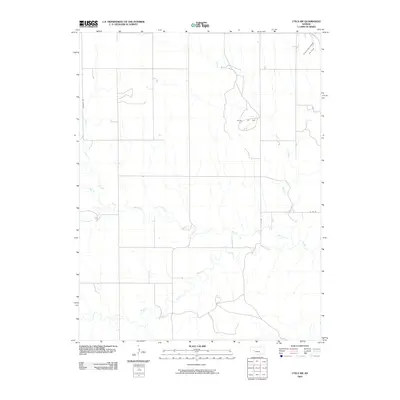 2009 Utica SW2009 Print · USGSNess County was a center for both energy and agriculture during the late 2000s. Genealogists and researchers can trace the geography of the local oil industry through the Dumler Oil Field and follow the intricate paths of Middle Fork Walnut Creek and Wild Horse Creek.
 - 2009 Map of Dighton SW, 2009 Print
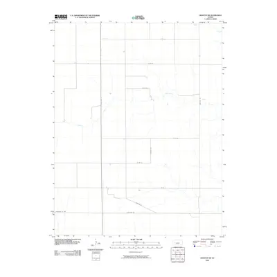 2009 Dighton SW2009 Print · USGSWestern Kansas rangelands and prairie drainages are meticulously documented in this early twenty-first-century survey of northern Finney County. Researchers can trace the section-line roads and seasonal watercourses like Hackberry Creek and Spring Creek as they cross State Hwy 23.
 - 2009 Map of Cheyenne Creek, 2009 Print
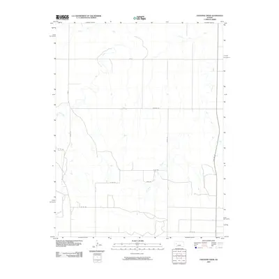 2009 Cheyenne Creek2009 Print · USGSLane County, Kansas, is documented here in the early twenty-first century as a landscape defined by prairie watercourses and a precise grid of rural section roads. Researchers can trace the path of the Smoky Hill River and identify local landmarks like Hickock Rd and State Hwy 23.
 - 2009 Map of Utica, 2009 Print
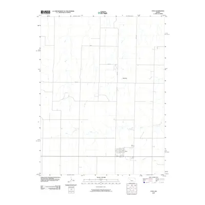 2009 Utica2009 Print · USGSThe town of Utica and the high plains of Western Kansas are captured here during the first decade of the 21st century. Researchers can trace local history through the streets of Utica, the Utica Cemetery, and small landmarks like Alanthus and Sand Creek.
 - 2009 Map of Amy SW, 2009 Print
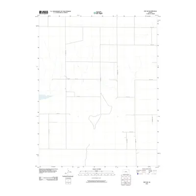 2009 Amy SW2009 Print · USGSFinney County’s rural grid is captured here during the first decade of the millennium, showing a landscape defined by dry basins and section-line roads. Genealogists and historians can trace property boundaries along Lane Scott, Bison Rd, and near the natural landmark of Dry Lake.
 - 2009 Map of Healy, 2009 Print
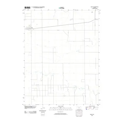 2009 Healy2009 Print · USGSHealy and the surrounding High Plains are captured here in the early twenty-first century, showing the enduring agricultural grid of Lane County. Researchers can trace the town's layout and the rural road network including Eagle Rd and Jules Rd near Middle Fork Walnut Creek.
 - 2009 Map of Amy, 2009 Print
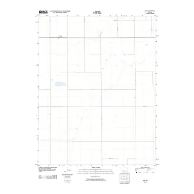 2009 Amy2009 Print · USGSThe small settlement of Amy and the high plains of Lane County are captured here in the early 2000s. Researchers can trace the meandering South Fork Walnut Creek and historical naming patterns on routes like Frontier Rd and Hickock Rd.
 - 2009 Map of Beeler SW, 2009 Print
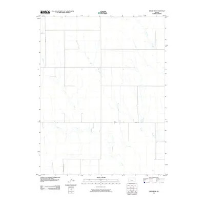 2009 Beeler SW2009 Print · USGSFinney County’s high plains and seasonal creek beds are documented here in the early 2000s. Genealogists and local researchers can pinpoint Buda Cemetery and trace the paths of Plum Creek and Hackberry Creek across the section-line road grid.
 - 2009 Map of Grigston, 2009 Print
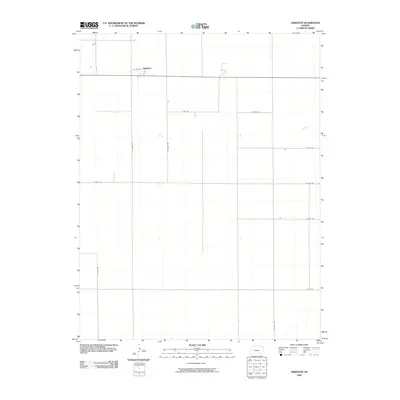 2009 Grigston2009 Print · USGSScott County agriculture and rural settlement patterns are clearly defined in this mid-2000s survey of the High Plains. Researchers can trace the local road network centered on Grigston including routes like S Venison Rd and Bison H Rd.
 - 2009 Map of Dighton SE, 2009 Print
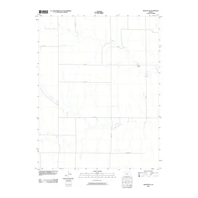 2009 Dighton SE2009 Print · USGSFinney County, Kansas, is captured in the early 2000s, showcasing a landscape of high plains agriculture and drainage. Genealogists and local historians can locate Thomas Cemetery and trace the paths of Spring Creek and Hackberry Creek.
 - 2009 Map of Pendennis, 2009 Print
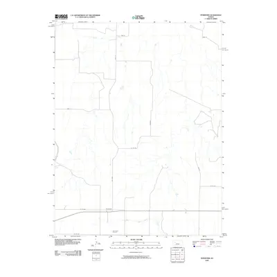 2009 Pendennis2009 Print · USGSLane County, Kansas, is depicted here in the early twenty-first century as a landscape of structured agricultural land and quiet settlements. Researchers can locate Pendennis and the White Rock Cemetery, or trace the paths of Red Chief and Wichita roads.
 - 2009 Map of Shields, 2009 Print
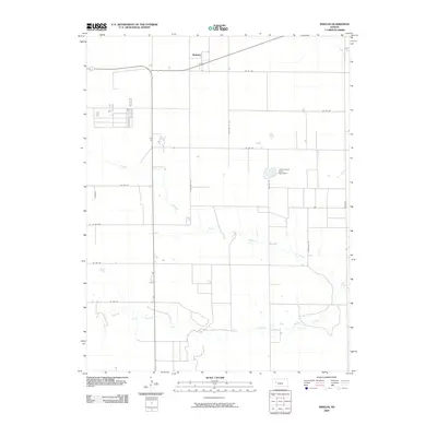 2009 Shields2009 Print · USGSThe High Plains of Lane County come into focus during the late 2000s, centered on the small rural community of Shields. Genealogists and researchers can trace the agricultural grid and water features like Lane County State Lake Dam and Middle Fork Walnut Creek.
 - 2009 Map of Dighton, 2009 Print
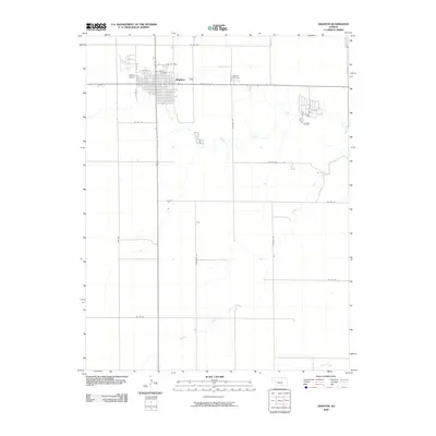 2009 Dighton2009 Print · USGSDighton sits at the heart of Lane County in the early twenty-first century, serving as a structured anchor amidst the vast Kansas prairie. Researchers can trace the town's footprint from Dighton Airport to Dighton Cemetery or follow the banks of South Fork Walnut Creek.
 - 2009 Map of Amy SE, 2009 Print
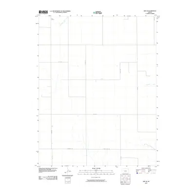 2009 Amy SE2009 Print · USGSFinney County’s rural expanse is captured here in the early 2000s, showcasing the structured agricultural landscape of the High Plains. Genealogists and local historians can locate Sutton Cemetery and trace the paths of South Fork Walnut Creek and Frontier Rd.
 - 2009 Map of Alamota, 2009 Print
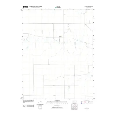 2009 Alamota2009 Print · USGSAlamota and its surrounding Lane County ranchlands are captured here at the close of the first decade of the 2000s. Genealogists and historians can trace the local road network through Turkey Red and S Tomahawk along the banks of Darr Creek.
 - 2009 Map of Beeler, 2009 Print
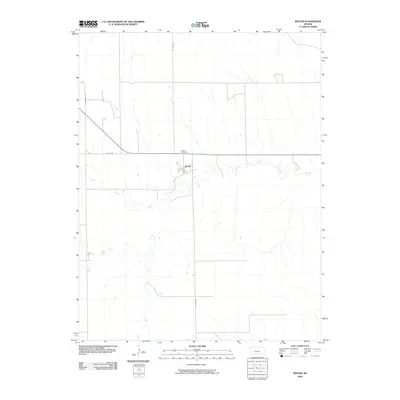 2009 Beeler2009 Print · USGSWestern Kansas at the turn of the 21st century reveals a landscape defined by its rural grid and quiet waterways. Genealogists and local historians can trace the foundations of Beeler and find family roots at the Beeler Cemetery near South Fork Walnut Creek.
 - 2009 Map of Shields NW, 2009 Print
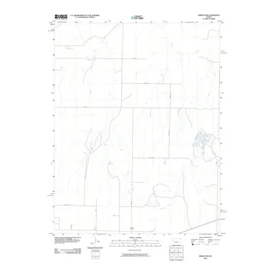 2009 Shields NW2009 Print · USGSLane County, Kansas, is depicted here in the early twenty-first century, showing a landscape defined by the Smoky Hill River and a rigid grid of rural section roads. Researchers can locate the Shields Cemetery and trace local transit routes like Laredo and Newton Rd.
 - 2009 Map of Healy NW, 2009 Print
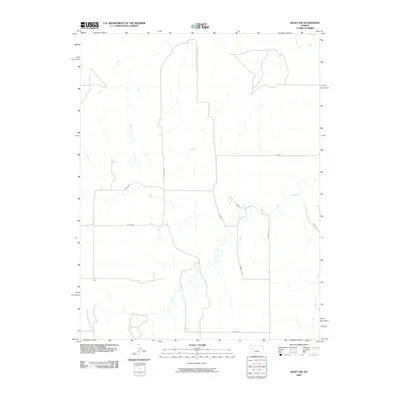 2009 Healy NW2009 Print · USGSIn the early twenty-first century, this portion of Lane County remains a landscape of prairie drainage and rural section roads. Researchers can trace the paths of Hell Creek and the Smoky Hill River alongside local routes like Bison Rd.
 - 2010 Map of Shields SE, 2010 Print
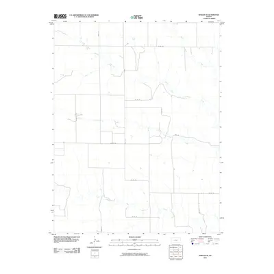 2010 Shields SE2010 Print · USGSLane County at the turn of the millennium remains a place of wide-open spaces and essential watercourses. Genealogists and researchers can trace rural property access via named section-line roads like Rowdy Rd and Vista Rd near Cottonwood Creek.
 - 2012 Map of Beeler SW, 2012 Print
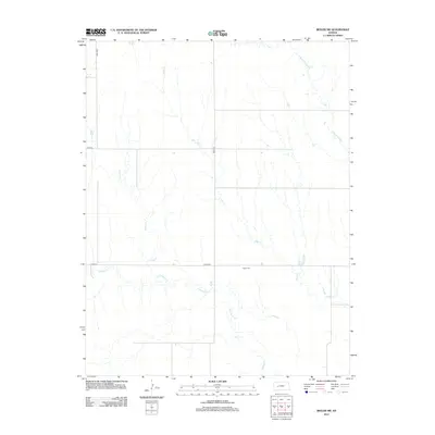 2012 Beeler SW2012 Print · USGSFinney County’s high plains terrain is mapped here in the early 2000s, showing the intersection of rural section roads and seasonal watercourses. Genealogists and local historians can trace family roots near Buda Cem and the banks of Hackberry Cr.
 - 2012 Map of Healy, 2012 Print
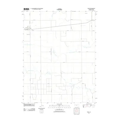 2012 Healy2012 Print · USGSLane County at the start of the 2010s reveals a classic High Plains agricultural pattern centered on the small community of Healy. Local researchers can trace the town’s street grid and the rural landscape defined by Middle Fork Walnut Cr and Wilkens Airport.
 - 2012 Map of Amy, 2012 Print
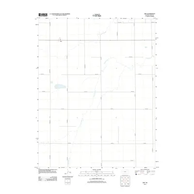 2012 Amy2012 Print · USGSLane County agriculture and the small community of Amy are seen here in the early twenty-first century. Researchers can trace the path of S Fork Walnut Cr and explore the rural road network including Frontier Rd and Gage Rd.
 - 2012 Map of Cheyenne Creek, 2012 Print
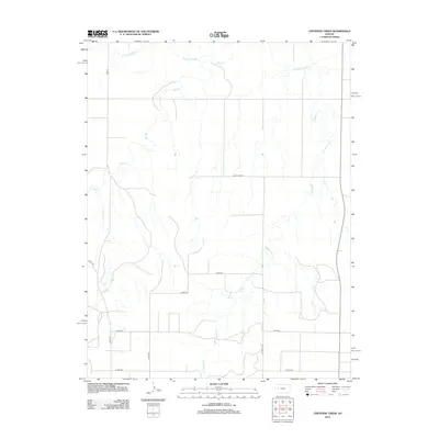 2012 Cheyenne Creek2012 Print · USGSWestern Kansas at the start of the 2010s reveals a vast agricultural landscape shaped by the Smoky Hill River and its prairie tributaries. Researchers can trace rural routes like Lane-Gove Rd and identify local drainages such as Cheyenne Cr and Salt Cr.
 - 2012 Map of Healy NW, 2012 Print
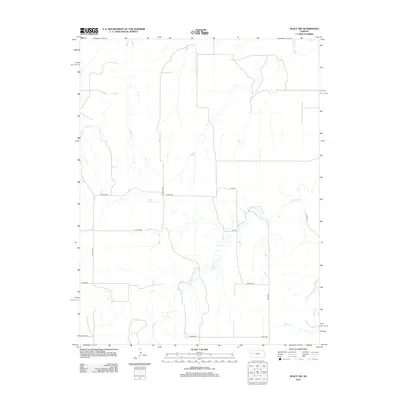 2012 Healy NW2012 Print · USGSThe western Kansas plains in the early 2010s are defined here by the intersection of the Smoky Hill River and a rigid sectional road grid. Genealogists and land researchers can trace the drainage of Hell Cr and locate specific rural markers like Bison II.
Showing maps 1-25 of 100
Top cities of Lane County
Frequently asked questions
- What are the different types of historical maps available for Lane County?
- What is the oldest map of Lane County?
- Where can I purchase historical maps of Lane County for my home or office?
- Where can I download high-res historical maps of Lane County?
- Are there historical topographic maps available for Lane County?
- Is there historical aerial imagery available for Lane County?
- Where are historical maps of Lane County sourced from?