2000s (21st Century) Maps of Riley County, Kansas
Explore 100 historic maps of Riley County from the 2000s (21st Century). These maps offer a rare glimpse into what life looked like during the 2000s — showing old roads, neighborhoods, homes, and landmarks that have changed or disappeared over time.
Whether you're researching your family's past, planning a metal detecting trip, or studying how Riley County's landscape evolved across the 2000s, these high-resolution maps are a powerful tool for exploring the history of this region.
- Focus on a specific era: All maps on this page are from the 2000s, giving you a focused view of this time period.
- See what’s changed: Compare century-old streets, trails, and buildings to today's modern landscape using overlays and satellite layers.
- Research with precision: Use these maps for genealogy, historical research, land use analysis, or educational projects.
- View, download, or print: Maps are fully viewable online in high resolution, and can be downloaded or printed for your own records.
Start exploring Riley County's history through authentic maps from the 2000s. This is your window into the past.
Riley County, KS maps
(100)- 2009 Map of Randolph, 2009 Print
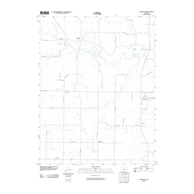 2009 Randolph2009 Print · USGSThis Riley County region in the early twenty-first century reveals a landscape of enduring rural settlements and family landmarks. Genealogists can trace lineage through Saint Johns Cemetery and Leonardville Cemetery or locate old farmsteads near Winkler and Walsburg.
 - 2009 Map of Kimeo, 2009 Print
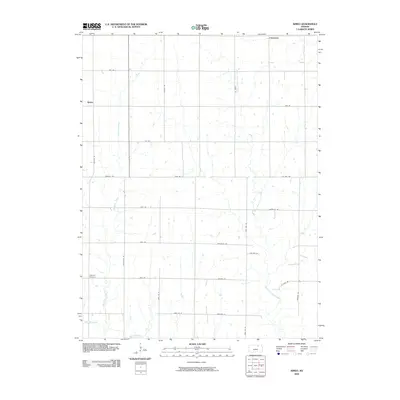 2009 Kimeo2009 Print · USGSWashington County at the turn of the millennium remains a landscape of traditional farming tracts and quiet rural settlements. Researchers can locate family landmarks like Appleton Cemetery and trace the drainage of Deadman Creek and West Fancy Creek.
 - 2009 Map of Tuttle Creek Dam, 2009 Print
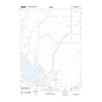 2009 Tuttle Creek Dam2009 Print · USGSThe shorelines of the Big Blue River valley are shown here just after the turn of the millennium. Researchers can trace the layout of contemporary lakefront communities and find the location of the Hays Cemetery near the Tuttle Creek Dam.
 - 2009 Map of Blue Rapids SW, 2009 Print
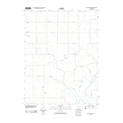 2009 Blue Rapids SW2009 Print · USGSMarshall County's agricultural heritage is on display here at the start of the 21st century. Genealogists can trace family roots through several local burial grounds, including the Czech Cemetery, Saint Wenceslaus Cemetery, and Swede Creek Cemetery.
 - 2009 Map of Blue Rapids SE, 2009 Print
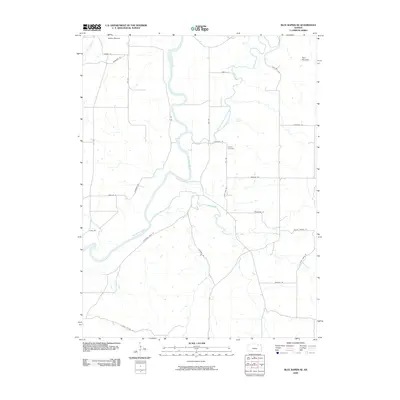 2009 Blue Rapids SE2009 Print · USGSRiley County at the end of the 2000s shows a landscape defined by the confluence of the Big Blue River and Black Vermillion River. Researchers can trace local landmarks like Proctor Cemetery and prominent terrain features including Indian Mound and Twin Mounds.
 - 2009 Map of Greenleaf SE, 2009 Print
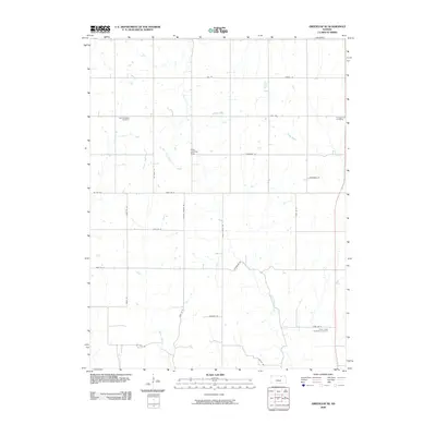 2009 Greenleaf SE2009 Print · USGSRiley County at the dawn of the 21st century reveals a landscape shaped by rural heritage and small-scale aviation. Genealogists can locate Spring Valley Cemetery and Cottage Hill Cemetery or trace family-named routes like Droll Rd and Dettmer Rd.
 - 2009 Map of Saint George, 2009 Print
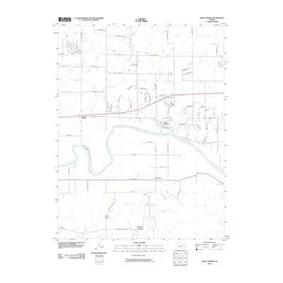 2009 Saint George2009 Print · USGSSaint George and the winding Kansas River valley are captured here during a period of transition between traditional rural life and modern expansion. Researchers can trace local lineage through the Saint George Cemetery, find the community of Zeandale, and locate Pillsbury Crossing.
 - 2009 Map of Olsburg SW, 2009 Print
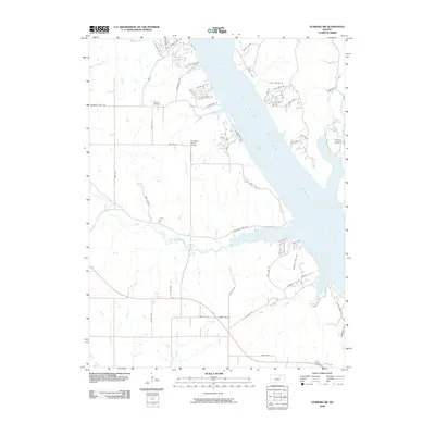 2009 Olsburg SW2009 Print · USGSRiley County at the end of the decade shows the expansive shoreline of Tuttle Creek Lake and its evolving residential developments. Researchers can locate family landmarks like Carnahan-Garrison Cemetery and Hohman Cemetery or the local Sunshine Ranch Airport.
 - 2009 Map of Wamego SW, 2009 Print
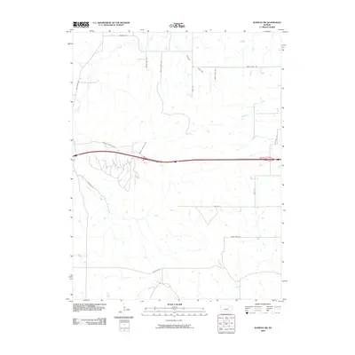 2009 Wamego SW2009 Print · USGSRiley County at the turn of the millennium shows the intersection of modern interstate travel with the established drainage of Tabor Valley. Genealogists and historians can trace the creek-side topography of Deep Creek and locate family-named routes like Pickering Rd and Tabor Ln.
 - 2009 Map of Ogden, 2009 Print
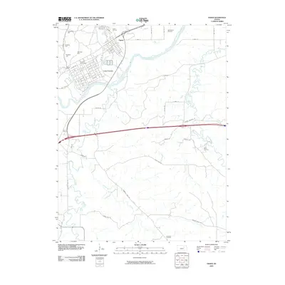 2009 Ogden2009 Print · USGSThe river valley near Ogden and the military landscape of Camp Funston are captured here in the early twenty-first century. Genealogists and local historians can trace several rural burial grounds like Fairview Cemetery and Humboldt Cemetery or locate the Funston Monument.
 - 2009 Map of Junction City, 2009 Print
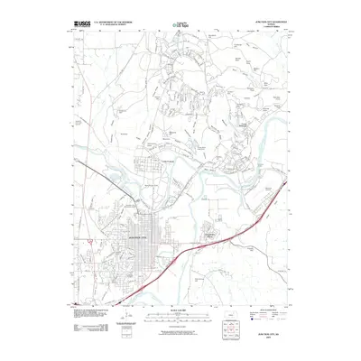 2009 Junction City2009 Print · USGSJunction City and its surrounding military landscapes are captured here at the start of the twenty-first century. Genealogists and local historians can trace family plots in Highland Cemetery or locate old neighborhood boundaries near Grandview Plaza and Camp Forsyth.
 - 2009 Map of Swede Creek, 2009 Print
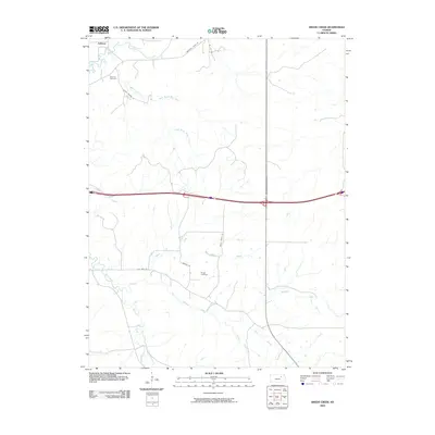 2009 Swede Creek2009 Print · USGSRiley County at the turn of the millennium shows a landscape of deep-cut prairie creeks and quiet rural settlements. Genealogists and local historians can locate Ashland Cemetery, trace the winding McDowell Creek, and find family-named landmarks like Rooks Ranch Rd.
 - 2009 Map of Keats, 2009 Print
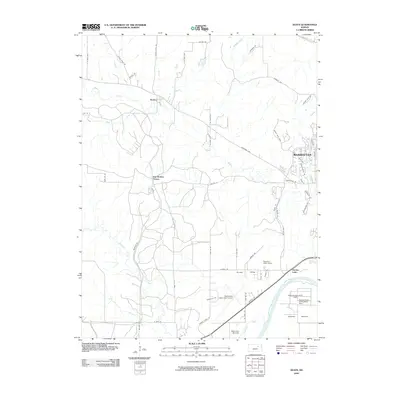 2009 Keats2009 Print · USGSThe western outskirts of Manhattan and rural Riley County are captured here at the start of the millennium. Genealogists and local historians can locate smaller centers like Keats and Elm Hollow Corner or trace the development around Eureka Lake.
 - 2009 Map of Riley, 2009 Print
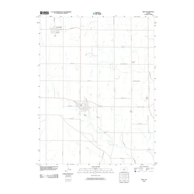 2009 Riley2009 Print · USGSRiley County in the early twenty-first century reveals a landscape of enduring farming communities and prairie waterways. Researchers can trace local lineage at Riley Cemetery or Grandview Cemetery and locate rural landmarks like the Walter Stol Strip.
 - 2009 Map of Olsburg NW, 2009 Print
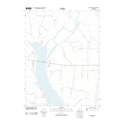 2009 Olsburg NW2009 Print · USGSThe northern reaches of the reservoir are seen here in the late 2000s, showing how the landscape was reshaped by water. Local researchers can trace old family road names and modern access points like Baldwin Park and the Randolph Bridge.
 - 2009 Map of Bala, 2009 Print
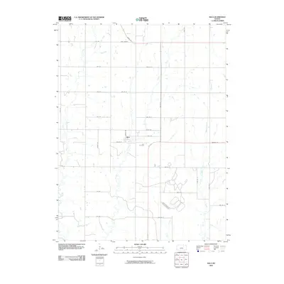 2009 Bala2009 Print · USGSThe rural prairie of Riley County is captured here in the early 21st century, showing the enduring grid of farm roads and creek valleys. Genealogists and local historians can locate family landmarks like the Bala Cemetery or trace the paths of Timber Creek and Mall Creek.
 - 2009 Map of Lasita, 2009 Print
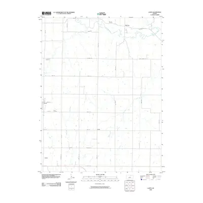 2009 Lasita2009 Print · USGSClay County's rural agricultural heartland is documented here in the early twenty-first century. Genealogists and local historians can locate generational burial grounds like Green Cemetery and Ebenezer Cemetery or trace the drainage of Mall Creek.
 - 2009 Map of Fort Riley NE, 2009 Print
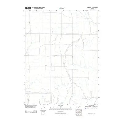 2009 Fort Riley NE2009 Print · USGSRiley County at the end of the first decade of the 2000s shows a landscape of rural school roads and canyon crossings. Genealogists and local historians can locate Shanks Cemetery, Vinton Cemetery, and the former site of a local landmark on Vinton School Rd.
 - 2010 Map of Milford, 2010 Print
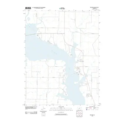 2010 Milford2010 Print · USGSThe eastern shores of Milford Lake and the town of Milford are shown in detail during the early twenty-first century. Family history researchers can locate Milford Cemetery, Timber Creek Cemetery, and several creek-side landmarks along the Republican River basin.
 - 2010 Map of Manhattan, 2010 Print
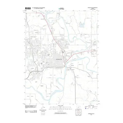 2010 Manhattan2010 Print · USGSManhattan and the surrounding river valleys are captured here at the start of the decade, showing the city's residential growth and riverfront geography. Genealogists and local historians can trace burial sites like Saint Patricks Cemetery or explore landmarks like Bluemont Hill and Hunters Island.
 - 2012 Map of Fort Riley NE, 2012 Print
 2012 Fort Riley NE2012 Print · USGSNortheast of the historic Army post in the early 2010s, this Riley County landscape shows the meeting point of military training grounds and old pioneer settlements. Researchers can locate legacy sites like Vinton Cem and Shanks Cem or trace the route of Old Highway 77.
 - 2012 Map of Saint George, 2012 Print
 2012 Saint George2012 Print · USGSThe Kansas River valley near Manhattan comes into focus in the early twenty-first century, showing a rural landscape defined by historic crossings and family-named roads. Trace local heritage at Saint George Cem, find the namesake ford at Pillsbury Crossing, or locate the curiously named Swamp Angel.
 - 2012 Map of Olsburg NW, 2012 Print
 2012 Olsburg NW2012 Print · USGSThe northern reaches of the Tuttle Creek reservoir area in Riley County appear here as they were just over a decade ago. Genealogists and local historians can trace family-named landmarks and access points like Mariadahl Rd, Randolph Bridge, and Axelton Hill Rd.
 - 2012 Map of Lasita, 2012 Print
 2012 Lasita2012 Print · USGSNorthern Kansas farm country in the early twenty-first century reveals a landscape of enduring rural settlements and small cemeteries. Genealogists and local historians can trace family locations near Lasita, May Day, and landmarks like Green Cem.
 - 2012 Map of Olsburg SW, 2012 Print
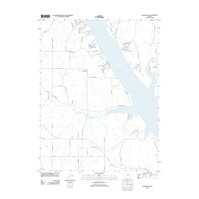 2012 Olsburg SW2012 Print · USGSRiley County at the start of the 2010s shows a landscape defined by the expansive waters of Tuttle Creek Lake. Genealogists and researchers can trace local family roots at Hohman Cem or explore the drainage of Frogg Holler and Mill Cr.
Showing maps 1-25 of 100
Top cities of Riley County
- Manhattan historical maps
- Ogden historical maps
- Riley historical maps
- Bala historical maps
- Leonardville historical maps
- Zeandale historical maps
See more
Frequently asked questions
- What are the different types of historical maps available for Riley County?
- What is the oldest map of Riley County?
- Where can I purchase historical maps of Riley County for my home or office?
- Where can I download high-res historical maps of Riley County?
- Are there historical topographic maps available for Riley County?
- Is there historical aerial imagery available for Riley County?
- Where are historical maps of Riley County sourced from?