2000s (21st Century) Maps of Shawnee County, Kansas
Explore 90 historic maps of Shawnee County from the 2000s (21st Century). These maps offer a rare glimpse into what life looked like during the 2000s — showing old roads, neighborhoods, homes, and landmarks that have changed or disappeared over time.
Whether you're researching your family's past, planning a metal detecting trip, or studying how Shawnee County's landscape evolved across the 2000s, these high-resolution maps are a powerful tool for exploring the history of this region.
- Focus on a specific era: All maps on this page are from the 2000s, giving you a focused view of this time period.
- See what’s changed: Compare century-old streets, trails, and buildings to today's modern landscape using overlays and satellite layers.
- Research with precision: Use these maps for genealogy, historical research, land use analysis, or educational projects.
- View, download, or print: Maps are fully viewable online in high resolution, and can be downloaded or printed for your own records.
Start exploring Shawnee County's history through authentic maps from the 2000s. This is your window into the past.
Shawnee County, KS maps
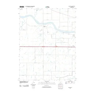
(90)- 2009 Map of Topeka, 2009 Print
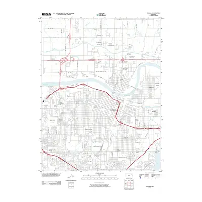 2009 Topeka2009 Print · USGSCovers Shawnee County, including Topeka, Menoken, and other nearby areas
 - 2009 Map of Carbondale, 2009 Print
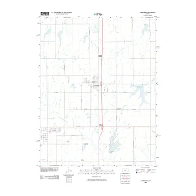 2009 Carbondale2009 Print · USGSCovers Shawnee County, including Carbondale, Scranton, and other nearby areas
 - 2009 Map of Wakarusa, 2009 Print
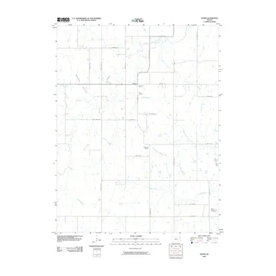
 2009 Wakarusa2009 Print · USGSCovers Shawnee County, including Topeka, Terra Heights, and other nearby areas
 - 2009 Map of Silver Lake, 2009 Print
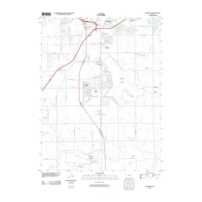
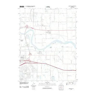
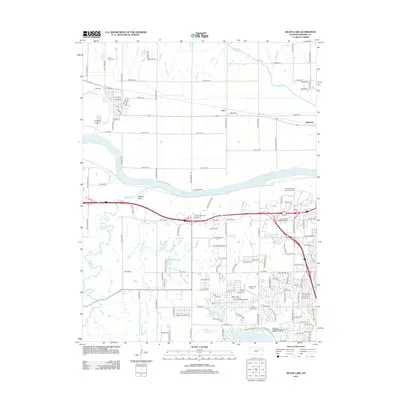
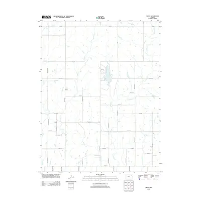
 2009 Silver Lake2009 Print · USGSCovers Shawnee County, including Topeka, Silver Lake, and other nearby areas
 - 2009 Map of Maple Hill, 2009 Print
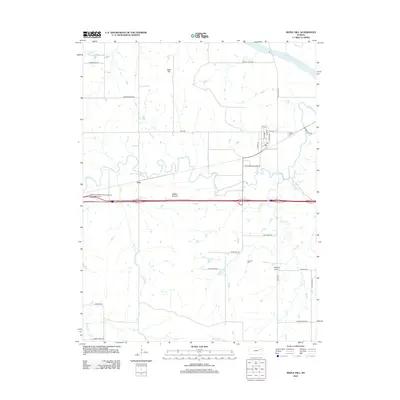
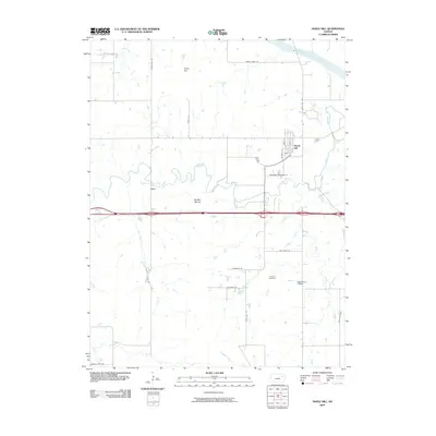 2009 Maple Hill2009 Print · USGSCovers Shawnee County, including Maple Hill, Vera, and other nearby areas
 - 2009 Map of Saint Marys, 2009 Print
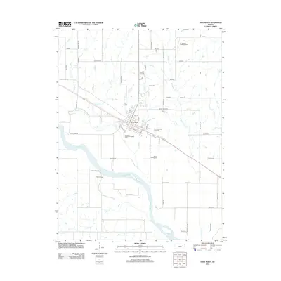
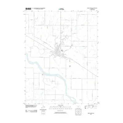 2009 Saint Marys2009 Print · USGSCovers Shawnee County, including Saint Marys, Rossville Township, and other nearby areas
 - 2009 Map of Rossville, 2009 Print
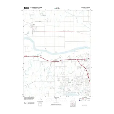
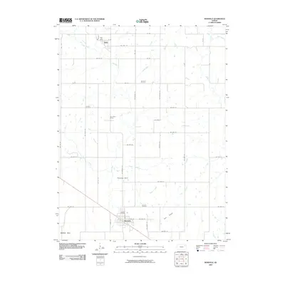 2009 Rossville2009 Print · USGSCovers Shawnee County, including Rossville, Delia, and other nearby areas
 - 2009 Map of Harveyville, 2009 Print
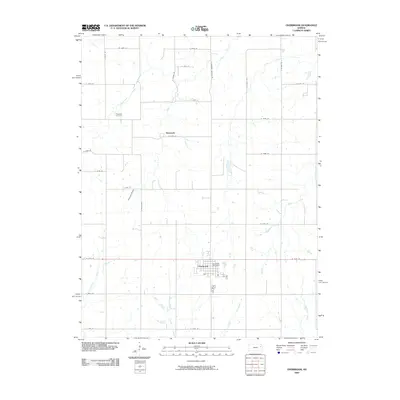
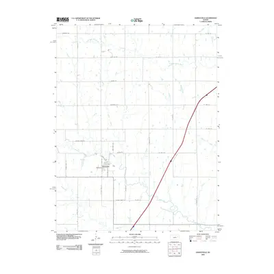 2009 Harveyville2009 Print · USGSCovers Shawnee County, including Harveyville, Osage County, and other nearby areas
 - 2009 Map of Auburn, 2009 Print
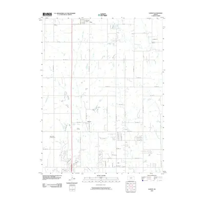
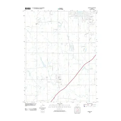 2009 Auburn2009 Print · USGSCovers Shawnee County, including Topeka, Auburn, and other nearby areas
 - 2009 Map of Dover, 2009 Print
 2009 Dover2009 Print · USGSCovers Shawnee County, including Dover, Wabaunsee County, and other nearby areas
 - 2009 Map of Overbrook, 2009 Print
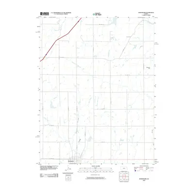
 2009 Overbrook2009 Print · USGSCovers Shawnee County, including Overbrook, Swissvale, and other nearby areas
 - 2009 Map of Burlingame, 2009 Print
 2009 Burlingame2009 Print · USGSCovers Shawnee County, including Burlingame, Scranton, and other nearby areas
 - 2009 Map of Willard, 2009 Print
 2009 Willard2009 Print · USGSCovers Shawnee County, including Valencia, Rossville Township, and other nearby areas
 - 2009 Map of Richland, 2009 Print
 2009 Richland2009 Print · USGSCovers Shawnee County, including Topeka, Kanwaka Township, and other nearby areas
 - 2009 Map of Grantville, 2009 Print
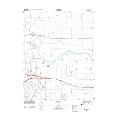
 2009 Grantville2009 Print · USGSCovers Shawnee County, including Topeka, Kanwaka Township, and other nearby areas
 - 2009 Map of Meriden, 2009 Print
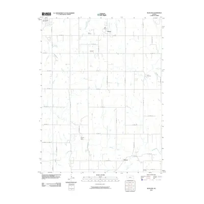
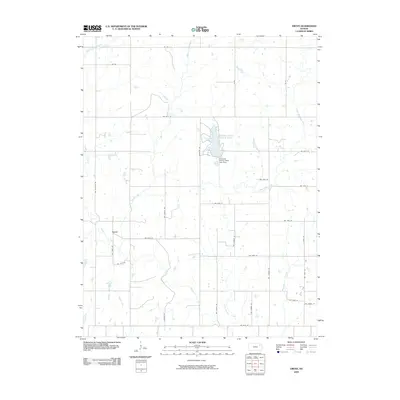
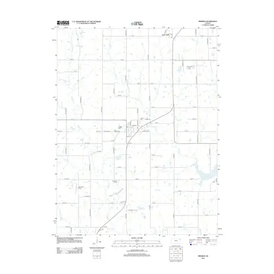
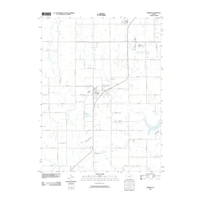 2009 Meriden2009 Print · USGSCovers Shawnee County, including Rock Creek, Meriden, and other nearby areas
 - 2009 Map of Grove, 2009 Print
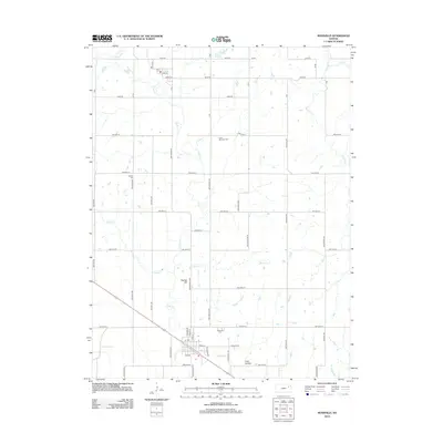
 2009 Grove2009 Print · USGSCovers Shawnee County, including Grove, Jackson County, and other nearby areas
 - 2009 Map of Elmont, 2009 Print
 2009 Elmont2009 Print · USGSCovers Shawnee County, including Hoyt, Elmont, and other nearby areas
 - 2012 Map of Saint Marys, 2012 Print
 2012 Saint Marys2012 Print · USGSCovers Shawnee County, including Saint Marys, Rossville Township, and other nearby areas
 - 2012 Map of Maple Hill, 2012 Print
 2012 Maple Hill2012 Print · USGSCovers Shawnee County, including Maple Hill, Vera, and other nearby areas
 - 2012 Map of Silver Lake, 2012 Print
 2012 Silver Lake2012 Print · USGSCovers Shawnee County, including Topeka, Silver Lake, and other nearby areas
 - 2012 Map of Grantville, 2012 Print
 2012 Grantville2012 Print · USGSCovers Shawnee County, including Topeka, Kanwaka Township, and other nearby areas
 - 2012 Map of Meriden, 2012 Print
 2012 Meriden2012 Print · USGSCovers Shawnee County, including Rock Creek, Meriden, and other nearby areas
 - 2012 Map of Rossville, 2012 Print
 2012 Rossville2012 Print · USGSCovers Shawnee County, including Rossville, Delia, and other nearby areas
 - 2012 Map of Grove, 2012 Print
 2012 Grove2012 Print · USGSCovers Shawnee County, including Grove, Jackson County, and other nearby areas
Showing maps 1-25 of 90
Top cities of Shawnee County
- Topeka historical maps
- Dover historical maps
- Menoken historical maps
- Silver Lake historical maps
- Auburn historical maps
- Tecumseh historical maps
See more
Frequently asked questions
- What are the different types of historical maps available for Shawnee County?
- What is the oldest map of Shawnee County?
- Where can I purchase historical maps of Shawnee County for my home or office?
- Where can I download high-res historical maps of Shawnee County?
- Are there historical topographic maps available for Shawnee County?
- Is there historical aerial imagery available for Shawnee County?
- Where are historical maps of Shawnee County sourced from?