2010s Maps of Shawnee County, Kansas
Explore 54 historic maps of Shawnee County from the 2010s. These maps offer a rare glimpse into what life looked like during the 2010s — showing old roads, neighborhoods, homes, and landmarks that have changed or disappeared over time.
Whether you're researching your family's past, planning a metal detecting trip, or studying how Shawnee County's landscape evolved across the 2010s, these high-resolution maps are a powerful tool for exploring the history of this region.
- Focus on a specific era: All maps on this page are from the 2010s, giving you a focused view of this time period.
- See what’s changed: Compare century-old streets, trails, and buildings to today's modern landscape using overlays and satellite layers.
- Research with precision: Use these maps for genealogy, historical research, land use analysis, or educational projects.
- View, download, or print: Maps are fully viewable online in high resolution, and can be downloaded or printed for your own records.
Start exploring Shawnee County's history through authentic maps from the 2010s. This is your window into the past.
Shawnee County, KS maps
(54)- 2012 Map of Saint Marys, 2012 Print
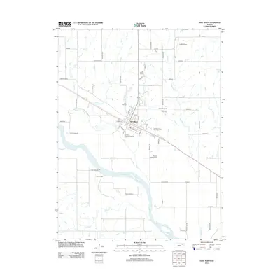 2012 Saint Marys2012 Print · USGSSaint Marys sits along the Kansas River in the early twenty-first century, preserving the path of the historic western migration. Researchers can trace local heritage through Valley View Cemetery and the path of the Oregon Trail Rd.
 - 2012 Map of Maple Hill, 2012 Print
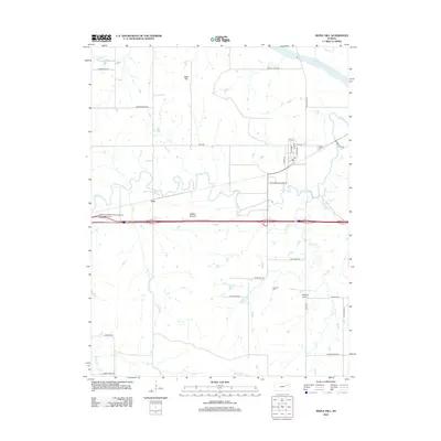 2012 Maple Hill2012 Print · USGSWabaunsee County at the start of the 2010s reveals a prairie landscape defined by the winding Mill Creek and the Kansas River. Researchers can locate the Freeman Cem, the community of Vera, and landmarks like Buffalo Mound and Morelock Airport.
 - 2012 Map of Silver Lake, 2012 Print
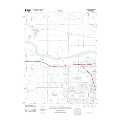 2012 Silver Lake2012 Print · USGSWestern Shawnee County is documented here during a period of suburban transition west of Topeka. Genealogists and local historians can trace family plots at Silver Lake Cem or Mission Center Cem and locate historic rail stops at Kiro and Menoken.
 - 2012 Map of Grantville, 2012 Print
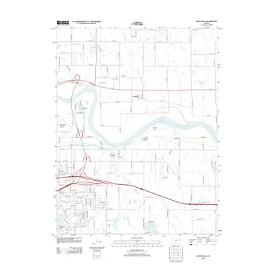 2012 Grantville2012 Print · USGSThe Kansas River valley east of Topeka comes to life in this survey of riverfront towns and expanding infrastructure. Genealogists can locate Grantville Cem and Bethel Cem, while researchers trace the development of Tecumseh and the grounds of Rees Fruit Farm.
 - 2012 Map of Meriden, 2012 Print
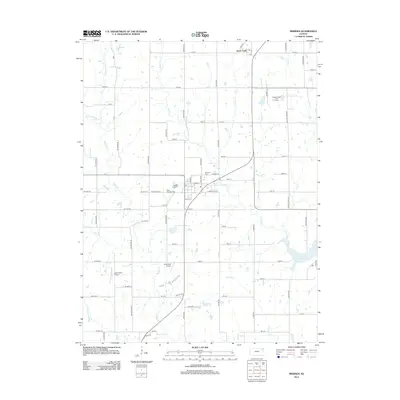 2012 Meriden2012 Print · USGSJefferson County's rural landscape at the start of the 2010s shows a mix of traditional prairie drainages and modern recreational growth. Researchers can locate family heritage sites at Saint Aloysius Cem or trace the early aviation footprints of Blackhawk Airport.
 - 2012 Map of Rossville, 2012 Print
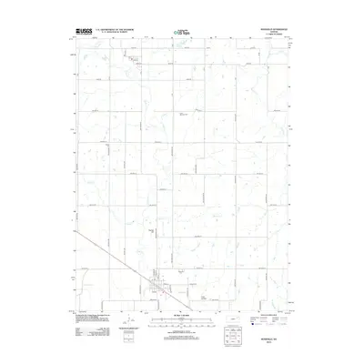 2012 Rossville2012 Print · USGSRossville and the surrounding townships in Shawnee County are captured here in the early twenty-first century as the area maintains its deep agricultural roots. Genealogists and local researchers can trace cemetery locations like Czech - Moravian Cem and unique landmarks such as Toad Hollow and Peanaz Hill.
 - 2012 Map of Grove, 2012 Print
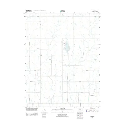 2012 Grove2012 Print · USGSGrove and the surrounding Shawnee County prairie are captured here in the early twenty-first century as a landscape of grid roads and winding creeks. Researchers can locate Walnut Hill Cem and trace the shores of Shawnee County State Lake.
 - 2012 Map of Willard, 2012 Print
 2012 Willard2012 Print · USGSShawnee County and the Kansas River valley are depicted here in the early 2000s, showing a landscape shaped by creek drainages and rural homesteads. Genealogists can locate family landmarks such as Uniontown Cem and Valencia Cem or trace the paths of Mission Cr and Post Cr.
 - 2012 Map of Topeka, 2012 Print
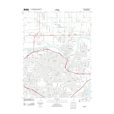 2012 Topeka2012 Print · USGSTopeka at the start of the 2010s reveals a well-established capital city centered on the Kansas River. Genealogists and researchers can trace local heritage through numerous sites like Topeka Cem, the campus of Washburn Univ, and Highland Park.
 - 2012 Map of Harveyville, 2012 Print
 2012 Harveyville2012 Print · USGSHarveyville and the surrounding Wabaunsee County countryside are captured here in the early twenty-first century as a network of winding creeks and section-line roads. Researchers can trace local landmarks like Smith Lake, find the PO in Harveyville, and follow historic routes such as Santa Fe Rd and Old Log House Rd.
 - 2012 Map of Burlingame, 2012 Print
 2012 Burlingame2012 Print · USGSThe Osage County prairie surrounding Burlingame is captured here in the early twenty-first century, showing the enduring grid of agricultural life. Researchers can trace family land via local landmarks like Stenger Hill, Major Draw, and the winding Switzler Cr.
 - 2012 Map of Dover, 2012 Print
 2012 Dover2012 Print · USGSDover and the surrounding Shawnee County prairie are captured in the early twenty-first century as the agricultural landscape remains centered on its original rural hubs. Genealogists and local historians can locate Dover Cem, Saint Bartholomew Cem, and the site of the Highland School among the winding paths of the Wakarusa River.
 - 2012 Map of Richland, 2012 Print
 2012 Richland2012 Print · USGSSoutheast of Topeka during the early 2010s, this area reflects a rural landscape shaped by the Wakarusa River and its many tributaries. Researchers can locate local landmarks like Sunset Strip Airpark and several burial sites including Pleasant Hill Cem and Zion Cem.
 - 2012 Map of Carbondale, 2012 Print
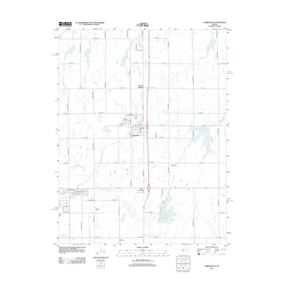 2012 Carbondale2012 Print · USGSOsage County comes into focus in the early 2010s, showing the established communities of Carbondale and Scranton. Genealogists and local historians can locate several burial grounds like Mount Calvary Cem or trace the drainage of Hundred and Ten Mile Cr toward Osage County Lake.
 - 2012 Map of Auburn, 2012 Print
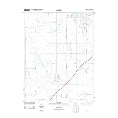 2012 Auburn2012 Print · USGSAuburn and the Wakarusa River valley are captured in this early 21st-century survey south of Topeka. Genealogists and local researchers can pinpoint family burial sites at Auburn Cem, Elevation Cem, and Somervell Cem while tracing the winding path of Sixmile Cr.
 - 2012 Map of Overbrook, 2012 Print
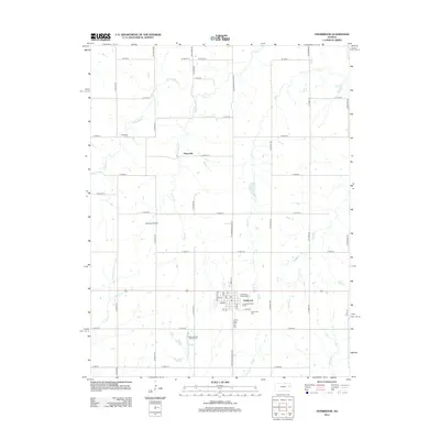 2012 Overbrook2012 Print · USGSOsage County agricultural lands and the town of Overbrook are captured here in the early 21st century. Genealogists and local historians can trace family locations near Ridgeway Cem, the settlement of Swissvale, or the Overbrook Fairgrounds.
 - 2012 Map of Wakarusa, 2012 Print
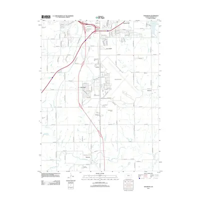 2012 Wakarusa2012 Print · USGSSouth of Topeka during the early twenty-first century, this area shows a unique mix of aviation history and historic crossroads. Researchers can locate family roots at Yocum Cem or Lynn Creek Cem and trace the development around Forbes Field Airport.
 - 2012 Map of Elmont, 2012 Print
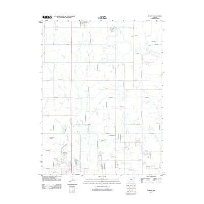 2012 Elmont2012 Print · USGSJackson County rural life is captured here in the early twenty-first century, showing the intersection of agricultural roots and modern development. Genealogists and local historians can trace family locations near Half-Day Cem, the Steward Cem, or the small settlement of Elmont.
 - 2015 Map of Elmont, 2015 Print
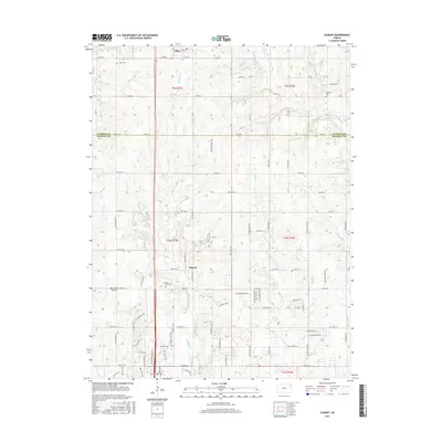 2015 Elmont2015 Print · USGSThe borderlands of Jackson and Shawnee Counties are captured here during a period of modern rural development. Researchers can locate long-standing community landmarks like Hoyt Cemetery and Half-Day Cemetery or trace the winding paths of Indian Cr and Halfday Cr.
 - 2015 Map of Meriden, 2015 Print
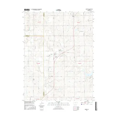 2015 Meriden2015 Print · USGSThe crossroads of Jefferson and Shawnee Counties are captured here in the mid-2010s, centered on the community of Meriden. Researchers can trace local heritage at Saint Aloysius Cemetery or locate regional airstrips like Blackhawk Airport and Buena Terra Airport.
 - 2015 Map of Grove, 2015 Print
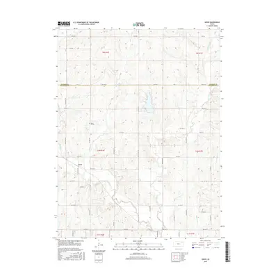 2015 Grove2015 Print · USGSGrove and the surrounding rural border of Shawnee and Jackson counties are shown here during the mid-2010s. Researchers can trace land divisions across the county line and find local landmarks like Walnut Hill Cem and the winding course of Soldier Cr.
 - 2015 Map of Auburn, 2015 Print
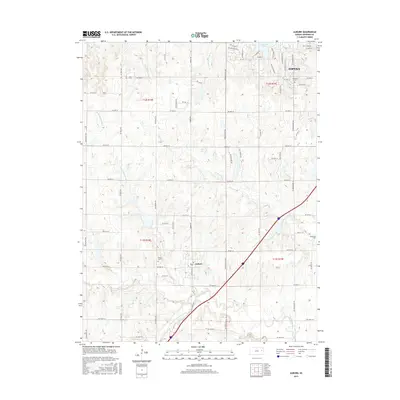 2015 Auburn2015 Print · USGSSouthwest of the state capital in the mid-2010s, this area shows the rural landscape surrounding the Wakarusa River valley. Genealogists and local historians can locate family burial sites like Auburn Cem, Elevation Cem, and Somervell Cem among the creek-fed hills.
 - 2015 Map of Harveyville, 2015 Print
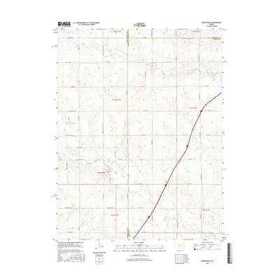 2015 Harveyville2015 Print · USGSHarveyville and the intersection of three counties are documented here in the mid-2010s. Researchers can trace rural landmarks and old routes like Santa Fe Rd, Old Log House Rd, and the banks of the S Br Wakarusa River.
 - 2015 Map of Burlingame, 2015 Print
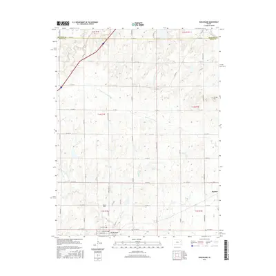 2015 Burlingame2015 Print · USGSOsage County prairie and early 21st-century township life are captured here as the region balances its rural roots with growing road networks. Researchers can trace the drainage of Hundred and Ten Mile Cr and locate specific property boundaries near Burlingame and Scranton.
 - 2015 Map of Overbrook, 2015 Print
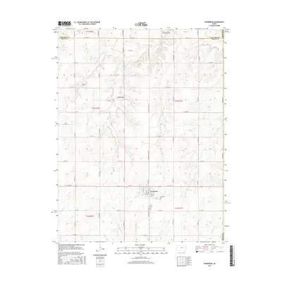 2015 Overbrook2015 Print · USGSOsage County's agricultural heartland is captured here in the mid-2010s, showcasing the structured rural grids of eastern Kansas. Genealogists and local historians can trace family locations near Overbrook and Swissvale, or locate gravesites at Ridgeway Cem and Overbrook Cem.
Showing maps 1-25 of 54
Top cities of Shawnee County
- Topeka historical maps
- Dover historical maps
- Menoken historical maps
- Silver Lake historical maps
- Auburn historical maps
- Tecumseh historical maps
See more
Frequently asked questions
- What are the different types of historical maps available for Shawnee County?
- What is the oldest map of Shawnee County?
- Where can I purchase historical maps of Shawnee County for my home or office?
- Where can I download high-res historical maps of Shawnee County?
- Are there historical topographic maps available for Shawnee County?
- Is there historical aerial imagery available for Shawnee County?
- Where are historical maps of Shawnee County sourced from?