2000s (21st Century) Maps of Weskan Township, Kansas
Explore 65 historic maps of Weskan Township from the 2000s (21st Century). These maps offer a rare glimpse into what life looked like during the 2000s — showing old roads, neighborhoods, homes, and landmarks that have changed or disappeared over time.
Whether you're researching your family's past, planning a metal detecting trip, or studying how Weskan Township's landscape evolved across the 2000s, these high-resolution maps are a powerful tool for exploring the history of this region.
- Focus on a specific era: All maps on this page are from the 2000s, giving you a focused view of this time period.
- See what’s changed: Compare century-old streets, trails, and buildings to today's modern landscape using overlays and satellite layers.
- Research with precision: Use these maps for genealogy, historical research, land use analysis, or educational projects.
- View, download, or print: Maps are fully viewable online in high resolution, and can be downloaded or printed for your own records.
Start exploring Weskan Township's history through authentic maps from the 2000s. This is your window into the past.
Weskan Township, KS maps
(65)- 2009 Map of Sharon Springs West, 2009 Print
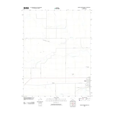 2009 Sharon Springs West2009 Print · USGSSharon Springs and the surrounding Wallace County plains are captured here in the early twenty-first century. Genealogists and local historians can trace the community layout near the Sharon Springs Cemetery and the settlement at Sunland.
 - 2009 Map of Spring Valley Ranch, 2009 Print
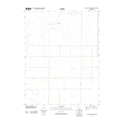 2009 Spring Valley Ranch2009 Print · USGSWestern Kansas ranching country is captured here during the early twenty-first century, showing the remote landscape of Wallace County. Researchers can trace the water rights and land divisions surrounding Spring Valley Ranch and the course of Eagletail Creek.
 - 2009 Map of Weskan, 2009 Print
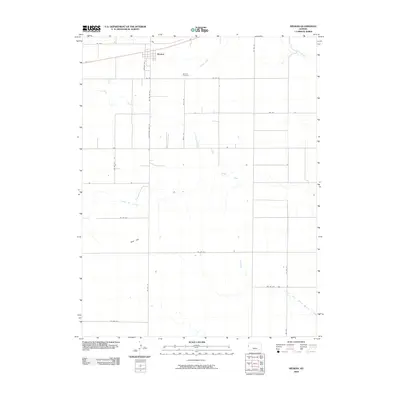 2009 Weskan2009 Print · USGSThe High Plains of Wallace County are captured here in the early twenty-first century, centered on the small community of Weskan. Researchers can trace local lineage at the Weskan Cemetery or follow the natural drainage of Eagletail Creek and Ladder Creek.
 - 2009 Map of Weskan NW, 2009 Print
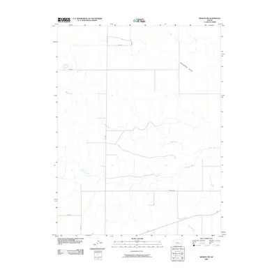 2009 Weskan NW2009 Print · USGSWestern Kansas at the start of the 21st century reveals a landscape shaped by water and the section line grid. Genealogists and historians can trace the paths of the Smoky Hill River and Willow Creek, or follow rural routes like Wa W-N across the prairie.
 - 2009 Map of Horsethief Draw NW, 2009 Print
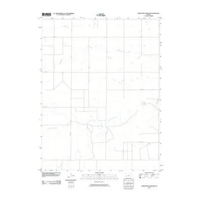 2009 Horsethief Draw NW2009 Print · USGSWestern Kansas at the turn of the millennium is defined by its deep creek beds and vast section lines. You can trace the hydrology of the High Plains along the North Fork Smoky Hill River and map the rural road network from CO RD 57 to CO RD 53.
 - 2009 Map of Horsethief Draw, 2009 Print
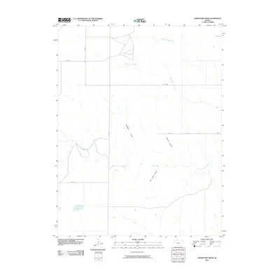 2009 Horsethief Draw2009 Print · USGSWallace County, Kansas, is seen here at the start of the twenty-first century, showing a remote landscape shaped by the High Plains grid. You can trace the complex drainage networks of Horsethief Draw, Salt Grass Canyon, and the elusive waters of Big Lagoon.
 - 2010 Map of Middle Ladder Creek West, 2010 Print
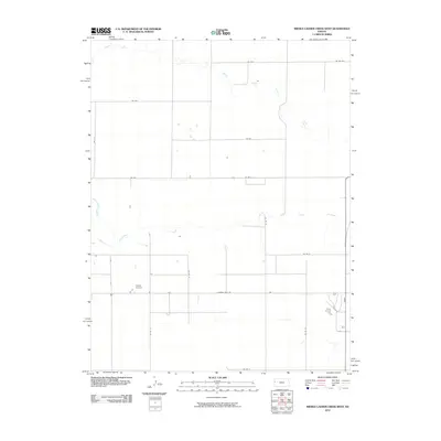 2010 Middle Ladder Creek West2010 Print · USGSWestern Kansas high plains are captured here in the early twenty-first century, showing the rural grid of Greeley County. Genealogists and local historians can trace family land boundaries near Walter Airport and along the banks of South Ladder Creek.
 - 2010 Map of Stockholm Cemetery, 2010 Print
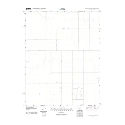 2010 Stockholm Cemetery2010 Print · USGSGreeley County at the start of the twenty-first century reveals a landscape of enduring rural order and quiet landmarks. Genealogists and local historians can locate the Stockholm Cemetery and trace the drainage of South Fork Middle Ladder Creek across the section lines.
 - 2010 Map of Arapahoe NE, 2010 Print
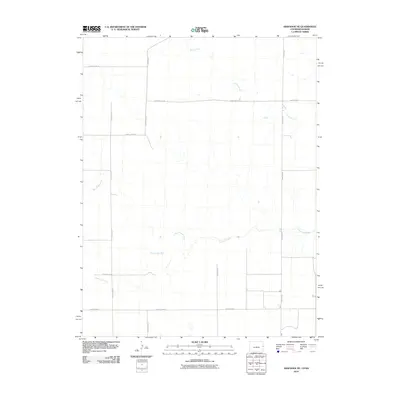 2010 Arapahoe NE2010 Print · USGSThe high plains of western Kansas are captured here in the early twenty-first century, showing a landscape defined by water and roads. Researchers can trace the path of the Smoky Hill River or follow the rural grid along County Road CC and Willow Creek.
 - 2010 Map of Colony Township NW, 2010 Print
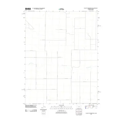 2010 Colony Township NW2010 Print · USGSGreeley County and the High Plains of western Kansas are seen here as a late-twentieth-century agricultural grid. Genealogists and land researchers can trace the rural landscape along South Ladder Creek and the network of County Hwy G and 13 Mile Rd.
 - 2010 Map of Arapahoe SE, 2010 Print
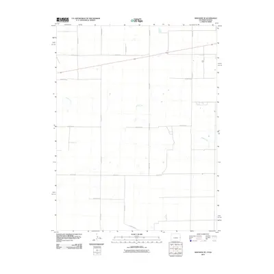 2010 Arapahoe SE2010 Print · USGSWallace County near the Colorado border remains a quiet agricultural landscape defined by the winding path of Ladder Creek. Genealogists and researchers can trace the rural grid of Weskan Township along County Road T and Road Wa-N3.
 - 2010 Map of Mount Sunflower NE, 2010 Print
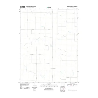 2010 Mount Sunflower NE2010 Print · USGSWestern Wallace County at the turn of the millennium remains a place of vast agricultural grids and quiet high-plains waterways. Genealogists and historians can trace the paths of the North Fork Smoky Hill River, Sappa Creek, and Sandy Creek through Weskan Township.
 - 2010 Map of Mount Sunflower, 2010 Print
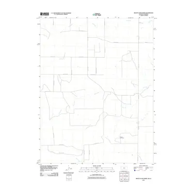 2010 Mount Sunflower2010 Print · USGSWestern Wallace County and the Colorado borderlands are captured here in the early twenty-first century. Genealogists and land researchers can trace the rural infrastructure around Mount Sunflower and the drainages of Turtle Creek and Goose Creek.
 - 2012 Map of Weskan NW, 2012 Print
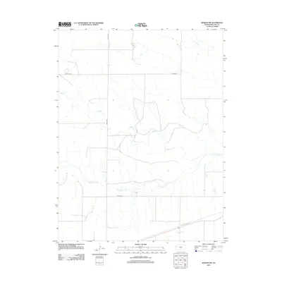 2012 Weskan NW2012 Print · USGSWestern Wallace County is revealed as a vast landscape of prairie drainages and section-line roads in this early twenty-first-century survey. Genealogists and researchers can trace the winding paths of the Smoky Hill River and Eagletail Cr through the open range.
 - 2012 Map of Stockholm Cemetery, 2012 Print
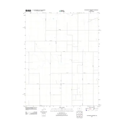 2012 Stockholm Cemetery2012 Print · USGSTribune Township in western Kansas is shown in the early twenty-first century as an area defined by large-scale agriculture and a strict section-line road grid. Researchers can locate Stockholm Cemetery and trace the local network of Co Line Rd and Astor Rd.
 - 2012 Map of Sharon Springs West, 2012 Print
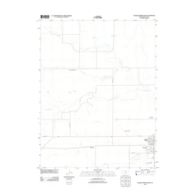 2012 Sharon Springs West2012 Print · USGSThe High Plains of Wallace County are documented here in the early twenty-first century, centered on the county seat. Genealogists and local historians can trace the town grid and find key sites like Sharon Springs Cem and the Wallace County Fairgrounds.
 - 2012 Map of Weskan, 2012 Print
 2012 Weskan2012 Print · USGSWeskan and the High Plains of Wallace County are captured here during the early twenty-first century. Genealogists and local historians can locate the Weskan Cem, the community PO, and geographical markers like Rock Hill and Eagletail Cr.
 - 2012 Map of Horsethief Draw, 2012 Print
 2012 Horsethief Draw2012 Print · USGSWallace County, Kansas, reveals its high plains drainage patterns and section-line roads in this early twenty-first-century survey. Researchers can trace the paths of Horsethief Draw, Salt Grass Canyon, and the elusive Big Lagoon.
 - 2012 Map of Horsethief Draw NW, 2012 Print
 2012 Horsethief Draw NW2012 Print · USGSWallace County in the early twenty-first century reveals a landscape of massive agricultural tracts and systematic road grids. Genealogists and historians can trace the remote path of Sappa Cr and the network of sectional transit lines like Road 57 and Road 54.
 - 2012 Map of Middle Ladder Creek West, 2012 Print
 2012 Middle Ladder Creek West2012 Print · USGSGreeley County agricultural lands and the drainage of the High Plains are documented here during the early twenty-first century. Researchers can trace the section-line road network including Horace Rd, 13 Mile Rd, and the path of Middle Ladder Cr.
 - 2012 Map of Spring Valley Ranch, 2012 Print
 2012 Spring Valley Ranch2012 Print · USGSWallace County ranch lands are captured here in the early twenty-first century, showing a landscape defined by seasonal creek beds and section roads. Researchers can locate the Spring Valley Ranch and trace the headwaters of Eagletail Cr and Rose Cr.
 - 2012 Map of Mount Sunflower, 2012 Print
 2012 Mount Sunflower2012 Print · USGSWallace County, Kansas, at the dawn of the twenty-first century remains a landscape of open range and section-line roads. Trace the topography around Mount Sunflower and the winding courses of Goose Cr and Turtle Cr.
 - 2013 Map of Mount Sunflower NE, 2013 Print
 2013 Mount Sunflower NE2013 Print · USGSThe high plains on the Kansas and Colorado border are captured here in the early twenty-first century. Genealogists and land researchers can trace the intersection of Sherman and Wallace counties along the N Fork Smoky Hill River.
 - 2013 Map of Colony Township NW, 2013 Print
 2013 Colony Township NW2013 Print · USGSThe high plains along the Kansas and Colorado border are captured here in the early twenty-first century, showing the intersection of three counties. Researchers can trace the section-line road network and the natural path of S Ladder Cr past Co Highway G and Co Road 58.
 - 2013 Map of Arapahoe SE, 2013 Print
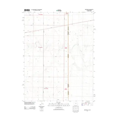 2013 Arapahoe SE2013 Print · USGSThe high plains along the Colorado Kansas border are captured in this early 21st-century survey of the Wallace County region. Researchers can trace the path of Ladder Creek and the transit corridor of US-40 E through this remote ranching landscape.
Showing maps 1-25 of 65
Top cities near Weskan Township
Top neighborhoods of Weskan Township
Frequently asked questions
- What are the different types of historical maps available for Weskan Township?
- What is the oldest map of Weskan Township?
- Where can I purchase historical maps of Weskan Township for my home or office?
- Where can I download high-res historical maps of Weskan Township?
- Are there historical topographic maps available for Weskan Township?
- Is there historical aerial imagery available for Weskan Township?
- Where are historical maps of Weskan Township sourced from?