Old Maps of Hanover, Kansas for Hiking & Exploration
Hike through history with 18 historic maps of Hanover. Explore old trails, ghost towns, and forgotten backroads — perfect for outdoor adventurers and local explorers.
- Rediscover forgotten places: Map out old mining camps, roads, and footpaths that no longer exist on modern maps.
- Layer with modern tools: Combine with LiDAR or satellite views to plan hikes through historical terrain.
- Made for exploration: Popular among hikers, overlanders, and local history lovers.
Use these maps to find adventure and explore the hidden past of Hanover.
Hanover, KS maps
(18)- 1889 Map of Marysville
 1889 Marysville1889 Print · USGSMarshall County in the late nineteenth century was a bustling nexus of river trade and steam rail expansion. Genealogists and historians can trace early town sites like Marysville, Blue Rapids, and Irving along the Little Blue River and major rail lines.
 - 1894 Map of Marysville
 1894 Marysville1894 Print · USGSMarshall County's river valleys and railroad corridors are intricately detailed in the 1880s, before modern highway expansion altered the rural landscape. Genealogists can locate family lands near Ballard Falls, Bremen, or the rail junctions at Marysville.4 unique versions available
 - 1955 Map of Manhattan, 1964 Print
 1955 Manhattan1964 Print · USGSNorth Central Kansas is captured here in the mid-fifties, just as major flood control projects began reshaping the river valleys. Genealogists can locate family sites near St. Joseph Church, Sunset Cemetery, or along the busy tracks of the Rock Island RR.4 unique versions available
 - 1956 Map of Manhattan
 1956 Manhattan1956 Print · USGSNorth-central Kansas in the mid-fifties reveals a landscape defined by the convergence of the Republican River and Smoky Hill River. Historians can trace the rail corridors of the Union Pacific RR and Missouri Pacific RR through towns like Manhattan and Clay Center.
 - 1957 Map of Manhattan
 1957 Manhattan1957 Print · USGSNortheast Kansas in the mid-1950s reveals a landscape of expanding military installations and new water projects. Genealogists and historians can trace the rail-to-river economy through the Union Pacific RR and old settlements like Clay Center or Marysville.
 - 1966 Map of Hanover West, 1967 Print
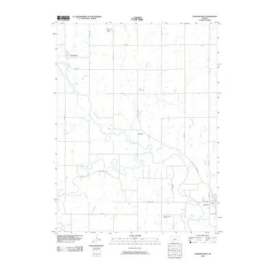
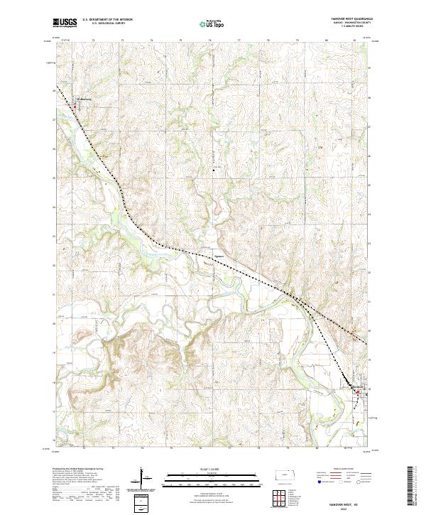
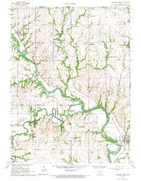 1966 Hanover West1967 Print · USGSWashington County, Kansas, is shown in the mid-sixties at the confluence of the Little Blue River and Mill Creek. Genealogists can trace the Old Indian Treaty Boundary and locate family sites near Hollenberg, Spence, and Prall Cem.2 unique versions available
 - 1966 Map of Hanover East, 1967 Print
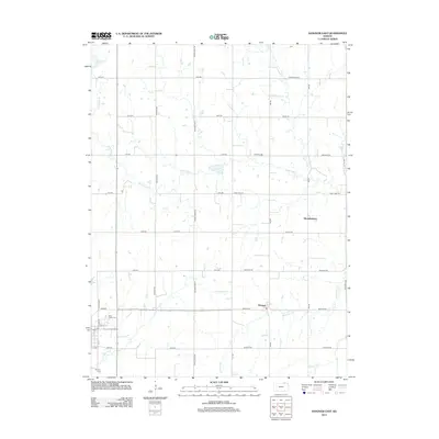
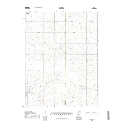
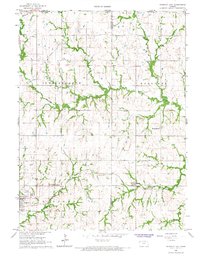 1966 Hanover East1967 Print · USGSWashington County at the Nebraska border comes into focus in the mid-sixties, revealing a landscape defined by rail lines and historic trails. Trace the Old Indian Treaty Boundary or locate family roots at St Johns Cem and Trinity Ch.2 unique versions available
 - 1986 Map of Blue Rapids
 1986 Blue Rapids1986 Print · USGSNortheast Kansas in the mid-eighties was a landscape of river-valley towns and steady rail lines. Researchers can trace family ties and early settlements from Hollenberg and Marysville down to the shores of Tuttle Creek Lake and the Big Blue River.2 unique versions available
 - 2009 Map of Hanover East, 2009 Print
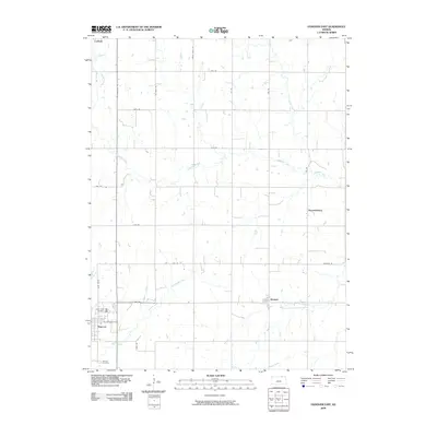 2009 Hanover East2009 Print · USGSCovers Hanover, including Bremen, Hermansberg, and other nearby areas
 - 2009 Map of Hanover West, 2009 Print
 2009 Hanover West2009 Print · USGSCovers Hanover, including Hollenberg, Spence, and other nearby areas
 - 2012 Map of Hanover East, 2012 Print
 2012 Hanover East2012 Print · USGSCovers Hanover, including Bremen, Hermansberg, and other nearby areas
 - 2012 Map of Hanover West, 2012 Print
 2012 Hanover West2012 Print · USGSCovers Hanover, including Hollenberg, Spence, and other nearby areas
 - 2015 Map of Hanover West, 2015 Print
 2015 Hanover West2015 Print · USGSCovers Hanover, including Hollenberg, Spence, and other nearby areas
 - 2016 Map of Hanover East, 2016 Print
 2016 Hanover East2016 Print · USGSCovers Hanover, including Bremen, Hermansberg, and other nearby areas
 - 2018 Map of Hanover West, 2018 Print
 2018 Hanover West2018 Print · USGSCovers Hanover, including Hollenberg, Spence, and other nearby areas
 - 2018 Map of Hanover East, 2018 Print
 2018 Hanover East2018 Print · USGSCovers Hanover, including Bremen, Hermansberg, and other nearby areas
 - 2022 Map of Hanover West, 2022 Print
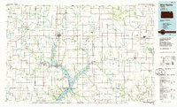
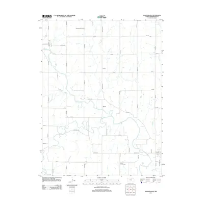
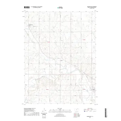
 2022 Hanover West2022 Print · USGSThe Little Blue River valley in Washington County appears here in its modern agricultural context. Researchers can trace land ties near Hollenberg, locate the Prall Cem, and follow historic routes like Wagon Train Rd and Bonds Mill Ave.
 - 2022 Map of Hanover East, 2022 Print
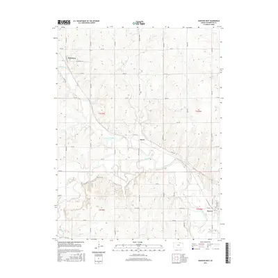
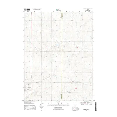
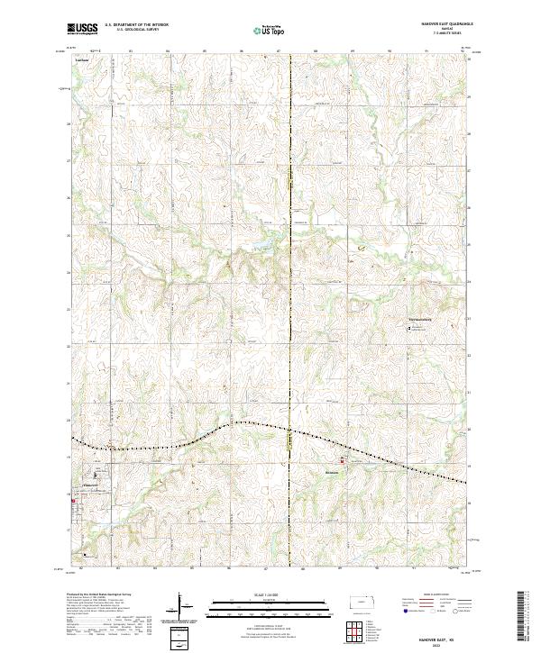 2022 Hanover East2022 Print · USGSThe rural agricultural landscape along the Washington and Marshall County line is captured here in the early twenty-first century. Researchers can trace family history at sites like Immanuel Lutheran Cem or explore the settlements of Bremen and Hanover.
End of results
Showing maps 1-18 of 18
Top cities near Hanover
- Marysville historical maps
- Wymore historical maps
- Washington historical maps
- Blue Rapids historical maps
- Waterville historical maps
- Linn historical maps
See more
Frequently asked questions
- What are the different types of historical maps available for Hanover?
- What is the oldest map of Hanover?
- Where can I purchase historical maps of Hanover for my home or office?
- Where can I download high-res historical maps of Hanover?
- Are there historical topographic maps available for Hanover?
- Is there historical aerial imagery available for Hanover?
- Where are historical maps of Hanover sourced from?