Old Maps of Graves County, Kentucky for Academic Research
Study the evolution of Graves County with 65 high-resolution historic maps. Whether you're teaching, researching, or modeling changes in land use, these maps provide essential visual documentation of urban, environmental, and geographic change.
- Analyze long-term change: Track patterns in development, transportation, and natural features.
- Ideal for environmental or urban studies: Support academic projects with primary historical map data.
- Use in the classroom or lab: Educators and researchers rely on these maps to bring historical context to life.
These maps are a powerful tool for teaching, research, and visualizing how Graves County has changed over the decades.
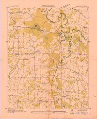
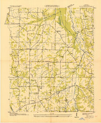
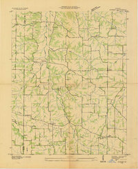
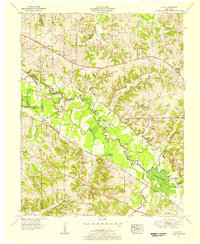
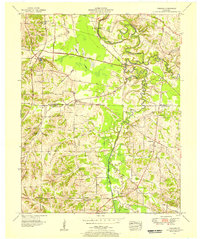
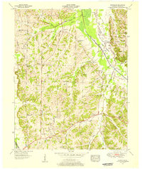
Graves County, KY maps
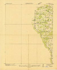
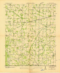
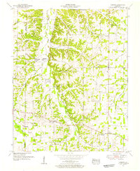
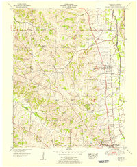
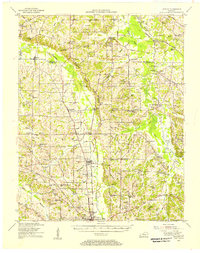
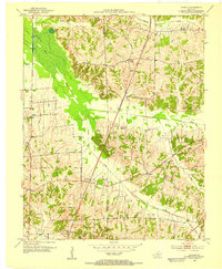
(65)- 1936 Map of Farmington
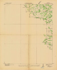 1936 Farmington1936 Print · USGSCovers Graves County, including Mayfield, Farmington, and other nearby areas
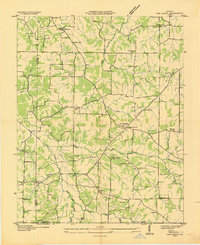
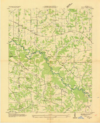
 - 1936 Map of Melber
 1936 Melber1936 Print · USGSCovers Graves County, including Melber, Folsomdale, and other nearby areas
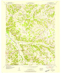
 - 1936 Map of Oak Level
 1936 Oak Level1936 Print · USGSCovers Graves County, including Benton, Brewers, and other nearby areas
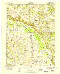
 - 1936 Map of Elva
 1936 Elva1936 Print · USGSCovers Graves County, including Calvert City, Sharpe, and other nearby areas
 - 1936 Map of Lynn Grove
 1936 Lynn Grove1936 Print · USGSCovers Graves County, including Harris Grove, Protemus, and other nearby areas
 - 1936 Map of Symsonia
 1936 Symsonia1936 Print · USGSCovers Graves County, including Kaler, Krebs, and other nearby areas
 - 1936 Map of Benton
 1936 Benton1936 Print · USGSCovers Graves County, including Benton, Calvert City, and other nearby areas
 - 1936 Map of Westplains
 1936 Westplains1936 Print · USGSCovers Graves County, including Mayfield, Westplains, and other nearby areas
 - 1936 Map of Kirksey
 1936 Kirksey1936 Print · USGSCovers Graves County, including Golo, Backusburg, and other nearby areas
 - 1951 Map of Kirksey, 1955 Print
 1951 Kirksey1955 Print · USGSCovers Graves County, including Golo, Backusburg, and other nearby areas3 unique versions available
 - 1951 Map of Farmington, 1955 Print
 1951 Farmington1955 Print · USGSCovers Graves County, including Mayfield, Farmington, and other nearby areas3 unique versions available
 - 1951 Map of Oak Level, 1955 Print
 1951 Oak Level1955 Print · USGSCovers Graves County, including Benton, Brewers, and other nearby areas
 - 1951 Map of Melber, 1956 Print
 1951 Melber1956 Print · USGSCovers Graves County, including Melber, Folsomdale, and other nearby areas2 unique versions available
 - 1951 Map of Hickory, 1956 Print
 1951 Hickory1956 Print · USGSCovers Graves County, including Mayfield, West Viola, and other nearby areas2 unique versions available
 - 1951 Map of Elva, 1956 Print
 1951 Elva1956 Print · USGSCovers Graves County, including Calvert City, Sharpe, and other nearby areas2 unique versions available
 - 1951 Map of Symsonia, 1956 Print
 1951 Symsonia1956 Print · USGSCovers Graves County, including Kaler, Krebs, and other nearby areas2 unique versions available
 - 1951 Map of Westplains, 1956 Print
 1951 Westplains1956 Print · USGSCovers Graves County, including Mayfield, Westplains, and other nearby areas2 unique versions available
 - 1951 Map of Hickory, 1957 Print
 1951 Hickory1957 Print · USGSCovers Graves County, including Mayfield, West Viola, and other nearby areas
 - 1951 Map of Murray, 1957 Print
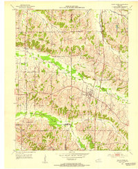
 1951 Murray1957 Print · USGSCovers Graves County, including Murray, Hazel, and other nearby areas
 - 1951 Map of Lynn Grove, 1964 Print
 1951 Lynn Grove1964 Print · USGSCovers Graves County, including Harris Grove, Protemus, and other nearby areas2 unique versions available
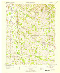
 - 1952 Map of Mayfield, 1953 Print
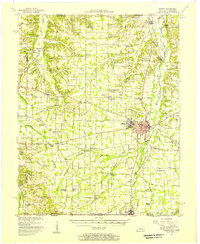
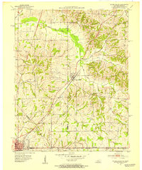
 1952 Mayfield1953 Print · USGSCovers Graves County, including Mayfield, Wingo, and other nearby areas
 - 1952 Map of Dublin, 1953 Print
 1952 Dublin1953 Print · USGSCovers Graves County, including Wingo, Fulgham, and other nearby areas
 - 1952 Map of Cuba, 1953 Print
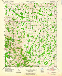
 1952 Cuba1953 Print · USGSCovers Graves County, including Pilot Oak, Cuba, and other nearby areas
 - 1952 Map of Fancy Farm, 1953 Print
 1952 Fancy Farm1953 Print · USGSCovers Graves County, including Beulah, Wheel, and other nearby areas
 - 1952 Map of Water Valley, 1953 Print
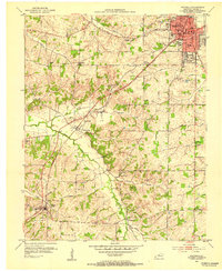
 1952 Water Valley1953 Print · USGSCovers Graves County, including Fulton, South Fulton, and other nearby areas
Showing maps 1-25 of 65
Top cities of Graves County
Frequently asked questions
- What are the different types of historical maps available for Graves County?
- What is the oldest map of Graves County?
- Where can I purchase historical maps of Graves County for my home or office?
- Where can I download high-res historical maps of Graves County?
- Are there historical topographic maps available for Graves County?
- Is there historical aerial imagery available for Graves County?
- Where are historical maps of Graves County sourced from?