2000s (21st Century) Maps of Graves County, Kentucky
Explore 80 historic maps of Graves County from the 2000s (21st Century). These maps offer a rare glimpse into what life looked like during the 2000s — showing old roads, neighborhoods, homes, and landmarks that have changed or disappeared over time.
Whether you're researching your family's past, planning a metal detecting trip, or studying how Graves County's landscape evolved across the 2000s, these high-resolution maps are a powerful tool for exploring the history of this region.
- Focus on a specific era: All maps on this page are from the 2000s, giving you a focused view of this time period.
- See what’s changed: Compare century-old streets, trails, and buildings to today's modern landscape using overlays and satellite layers.
- Research with precision: Use these maps for genealogy, historical research, land use analysis, or educational projects.
- View, download, or print: Maps are fully viewable online in high resolution, and can be downloaded or printed for your own records.
Start exploring Graves County's history through authentic maps from the 2000s. This is your window into the past.
Graves County, KY maps
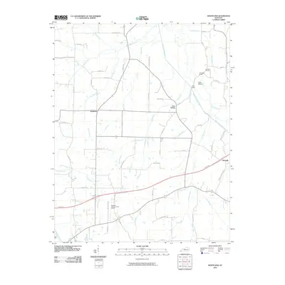
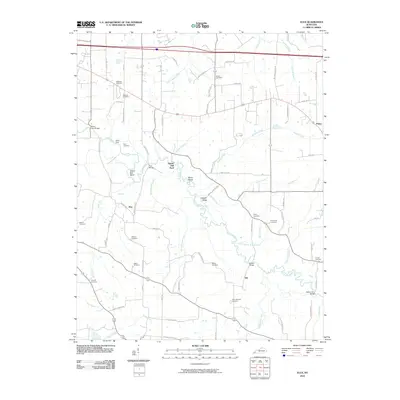
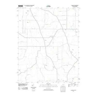
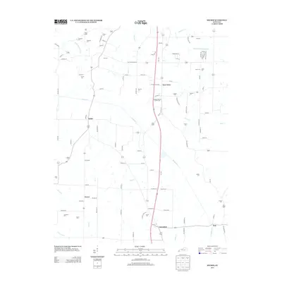
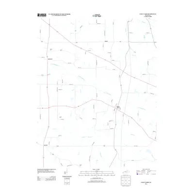
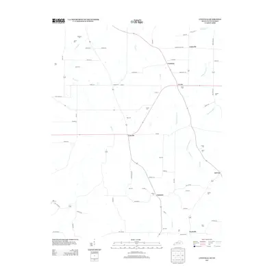
(80)- 2010 Map of Fancy Farm, 2010 Print
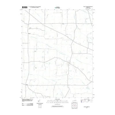 2010 Fancy Farm2010 Print · USGSCovers Graves County, including Kirbyton, Fancy Farm, and other nearby areas
 - 2010 Map of Lovelaceville, 2010 Print
 2010 Lovelaceville2010 Print · USGSCovers Graves County, including Lovelaceville, Lowes, and other nearby areas
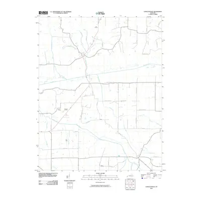
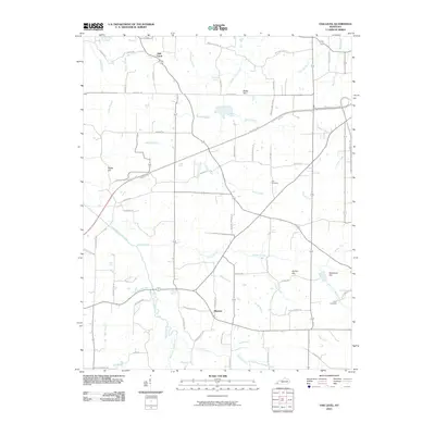
 - 2010 Map of Dublin, 2010 Print
 2010 Dublin2010 Print · USGSCovers Graves County, including Wingo, Baltimore, and other nearby areas
 - 2010 Map of Hickory, 2010 Print
 2010 Hickory2010 Print · USGSCovers Graves County, including Mayfield, Hickory, and other nearby areas
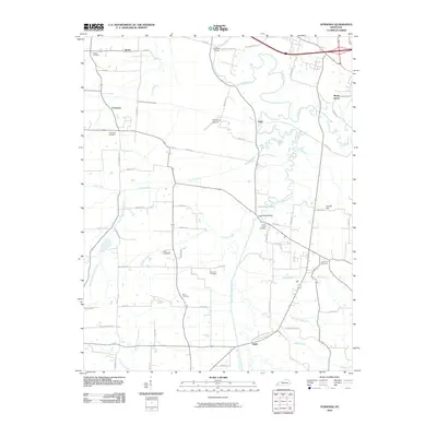
 - 2010 Map of Westplains, 2010 Print
 2010 Westplains2010 Print · USGSCovers Graves County, including Mayfield, Westplains, and other nearby areas
 - 2010 Map of Oak Level, 2010 Print
 2010 Oak Level2010 Print · USGSCovers Graves County, including Benton, Harvey, and other nearby areas
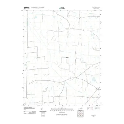
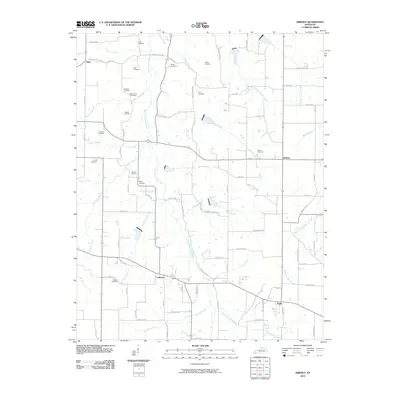
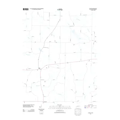
 - 2010 Map of Melber, 2010 Print
 2010 Melber2010 Print · USGSCovers Graves County, including Saint Johns, Kansas, and other nearby areas
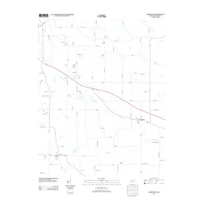
 - 2010 Map of Mayfield, 2010 Print
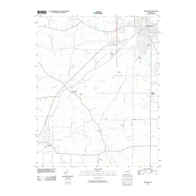 2010 Mayfield2010 Print · USGSCovers Graves County, including Mayfield, Wingo, and other nearby areas
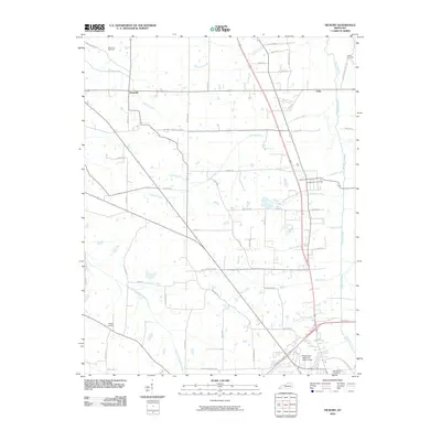
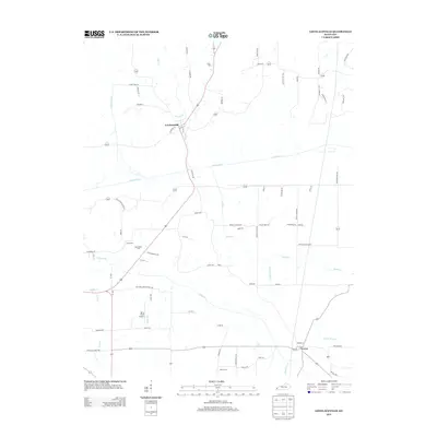
 - 2010 Map of Elva, 2010 Print
 2010 Elva2010 Print · USGSCovers Graves County, including Calvert City, Elva, and other nearby areas
 - 2010 Map of Farmington, 2010 Print
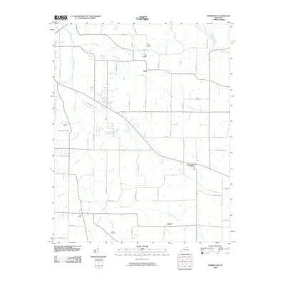 2010 Farmington2010 Print · USGSCovers Graves County, including Mayfield, Sedalia, and other nearby areas
 - 2010 Map of Symsonia, 2010 Print
 2010 Symsonia2010 Print · USGSCovers Graves County, including Krebs, Dogwood, and other nearby areas
 - 2010 Map of Kirksey, 2010 Print
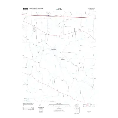
 2010 Kirksey2010 Print · USGSCovers Graves County, including Coldwater, Backusburg, and other nearby areas
 - 2010 Map of Lynnville, 2010 Print
 2010 Lynnville2010 Print · USGSCovers Graves County, including Bell City, Vealsburg, and other nearby areas
 - 2010 Map of Water Valley, 2010 Print
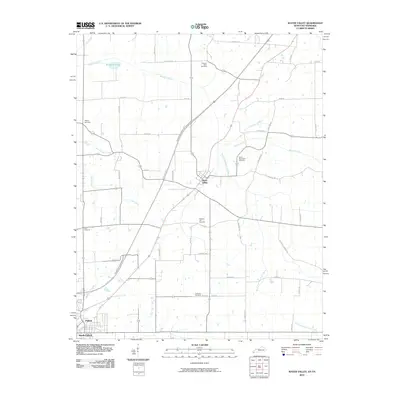 2010 Water Valley2010 Print · USGSCovers Graves County, including Fulton, South Fulton, and other nearby areas
 - 2010 Map of Lynn Grove, 2010 Print
 2010 Lynn Grove2010 Print · USGSCovers Graves County, including Protemus, Wiswell, and other nearby areas
 - 2010 Map of Cuba, 2010 Print
 2010 Cuba2010 Print · USGSCovers Graves County, including Pilot Oak, Cuba, and other nearby areas
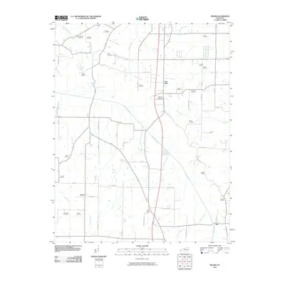
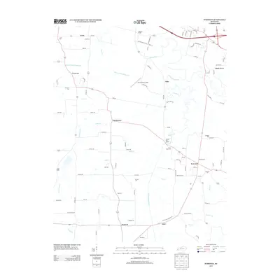
 - 2013 Map of Melber, 2013 Print
 2013 Melber2013 Print · USGSCovers Graves County, including Saint Johns, Kansas, and other nearby areas
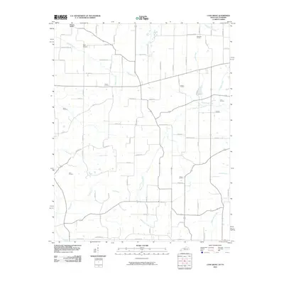
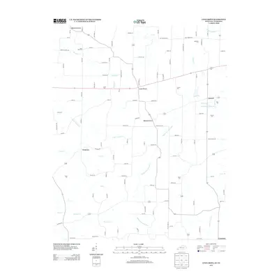
 - 2013 Map of Elva, 2013 Print
 2013 Elva2013 Print · USGSCovers Graves County, including Calvert City, Elva, and other nearby areas
 - 2013 Map of Symsonia, 2013 Print
 2013 Symsonia2013 Print · USGSCovers Graves County, including Krebs, Dogwood, and other nearby areas
 - 2013 Map of Lynn Grove, 2013 Print
 2013 Lynn Grove2013 Print · USGSCovers Graves County, including Protemus, Wiswell, and other nearby areas
 - 2013 Map of Fancy Farm, 2013 Print
 2013 Fancy Farm2013 Print · USGSCovers Graves County, including Kirbyton, Fancy Farm, and other nearby areas
 - 2013 Map of Farmington, 2013 Print
 2013 Farmington2013 Print · USGSCovers Graves County, including Mayfield, Sedalia, and other nearby areas
 - 2013 Map of Cuba, 2013 Print
 2013 Cuba2013 Print · USGSCovers Graves County, including Pilot Oak, Cuba, and other nearby areas
 - 2013 Map of Lovelaceville, 2013 Print
 2013 Lovelaceville2013 Print · USGSCovers Graves County, including Lovelaceville, Lowes, and other nearby areas
 - 2013 Map of Lynnville, 2013 Print
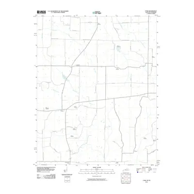
 2013 Lynnville2013 Print · USGSCovers Graves County, including Bell City, Vealsburg, and other nearby areas
Showing maps 1-25 of 80
Top cities of Graves County
Frequently asked questions
- What are the different types of historical maps available for Graves County?
- What is the oldest map of Graves County?
- Where can I purchase historical maps of Graves County for my home or office?
- Where can I download high-res historical maps of Graves County?
- Are there historical topographic maps available for Graves County?
- Is there historical aerial imagery available for Graves County?
- Where are historical maps of Graves County sourced from?