2010s Maps of Graves County, Kentucky
Explore 64 historic maps of Graves County from the 2010s. These maps offer a rare glimpse into what life looked like during the 2010s — showing old roads, neighborhoods, homes, and landmarks that have changed or disappeared over time.
Whether you're researching your family's past, planning a metal detecting trip, or studying how Graves County's landscape evolved across the 2010s, these high-resolution maps are a powerful tool for exploring the history of this region.
- Focus on a specific era: All maps on this page are from the 2010s, giving you a focused view of this time period.
- See what’s changed: Compare century-old streets, trails, and buildings to today's modern landscape using overlays and satellite layers.
- Research with precision: Use these maps for genealogy, historical research, land use analysis, or educational projects.
- View, download, or print: Maps are fully viewable online in high resolution, and can be downloaded or printed for your own records.
Start exploring Graves County's history through authentic maps from the 2010s. This is your window into the past.
Graves County, KY maps
(64)- 2010 Map of Fancy Farm, 2010 Print
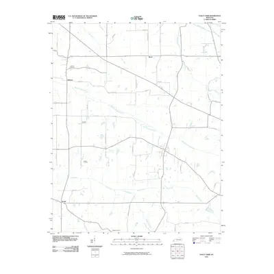 2010 Fancy Farm2010 Print · USGSThe rural communities of western Kentucky remained centered on agriculture and small-town crossroads into the early twenty-first century. Researchers can locate ancestral sites at Kirbyton Cemetery or Burgess Cemetery and trace old routes along West Fork Mayfield Creek.
 - 2010 Map of Lovelaceville, 2010 Print
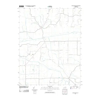 2010 Lovelaceville2010 Print · USGSLovelaceville and its surrounding creek valleys are documented here at the start of the 2010s. Genealogists and local historians can trace family locations through sites like Shaw, Bethlehem Cemetery, and the lands surrounding Mayfield Creek.
 - 2010 Map of Dublin, 2010 Print
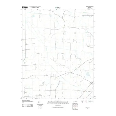 2010 Dublin2010 Print · USGSGraves County in the early twenty-first century retains the quiet character of its rural crossroads and family homesteads. Researchers can locate specific family landmarks such as Price Cemetery or trace the early community hubs of Dublin and Baltimore.
 - 2010 Map of Hickory, 2010 Print
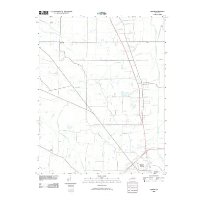 2010 Hickory2010 Print · USGSThe rural landscape of Graves County is captured here just as the modern road network matured around traditional farming communities. Researchers can trace family history through several burial sites like Old Union Cemetery and Wright Cemetery or locate the County War Memorial Fairgrounds.
 - 2010 Map of Westplains, 2010 Print
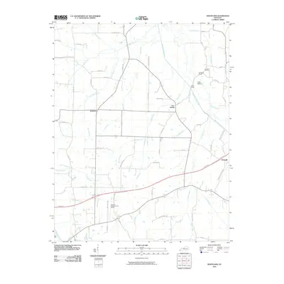 2010 Westplains2010 Print · USGSGraves County at the start of the 2010s shows a landscape of long-standing family farms and modern aviation infrastructure. Local researchers can locate Sand Hill Cemetery, trace the old crossing at Old Casey Bridge, or explore the rural routes around Westplains.
 - 2010 Map of Oak Level, 2010 Print
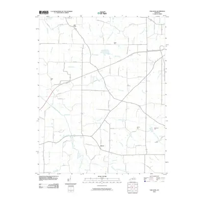 2010 Oak Level2010 Print · USGSWestern Kentucky's rural landscape is captured here in the early twenty-first century as modern highways intersect old community hubs. Researchers can locate family landmarks like Styers Cemetery and Gore Cemetery, or trace the winding course of the West Fork Clarks River past Oak Level.
 - 2010 Map of Melber, 2010 Print
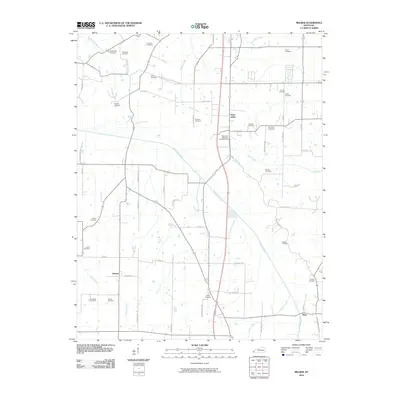 2010 Melber2010 Print · USGSMcCracken County farmsteads and rural crossroads are meticulously documented in this early twenty-first-century survey of the Melber region. Researchers can trace ancestral lands through a vast array of family sites like Haynes Cemetery and McNeil Cemetery near the banks of Mayfield Creek.
 - 2010 Map of Mayfield, 2010 Print
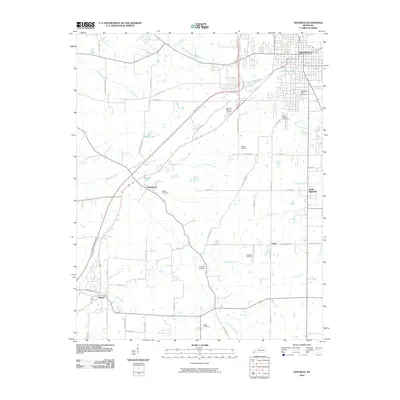 2010 Mayfield2010 Print · USGSGraves County at the start of the decade shows the regional center of Mayfield alongside quiet agricultural settlements. Genealogists can trace family landmarks at Bethel Cemetery, Alexander Cemetery, and the crossroads of Pryorsburg.
 - 2010 Map of Elva, 2010 Print
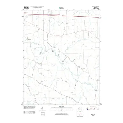 2010 Elva2010 Print · USGSMarshall County's rural landscape is mapped here as it appeared in the early twenty-first century, centered on the winding Clarks River. Genealogists and local historians can trace family roots through numerous sites like Wallace Cemetery, Barker Cemetery, and the old settlement at Elva.
 - 2010 Map of Farmington, 2010 Print
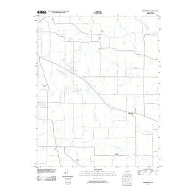 2010 Farmington2010 Print · USGSThe rural landscape around Farmington is shown here in the early twenty-first century, revealing an area deeply tied to its creeks and family farms. Researchers can locate numerous local burial sites including Smyrna Cemetery, Swan Cemetery, and Torian Cemetery.
 - 2010 Map of Symsonia, 2010 Print
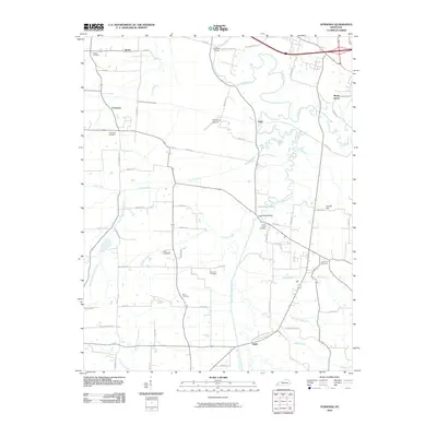 2010 Symsonia2010 Print · USGSWestern Kentucky’s river valleys are documented here during a period of steady rural continuity. Genealogists can locate several burial sites like Boaz Cemetery and Boat Cemetery while tracing landmarks like Farrington Airpark.
 - 2010 Map of Kirksey, 2010 Print
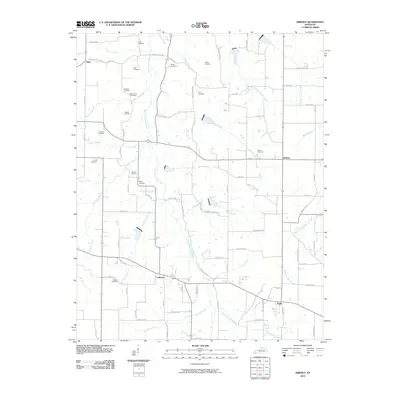 2010 Kirksey2010 Print · USGSAgricultural life in Calloway County at the start of the 2010s centered on quiet crossroads and family land. Genealogists can trace deep local roots across numerous sites like Asbury Cemetery, Bazzell Cemetery, and the settlement of Coldwater.
 - 2010 Map of Lynnville, 2010 Print
 2010 Lynnville2010 Print · USGSThe Kentucky-Tennessee border at the start of the twenty-first century reveals a landscape deeply connected to its pioneer ancestry. Genealogists can trace family lines through numerous sites like Boydsville Cemetery, Tibbs Cemetery, and Gilliam Cemetery.
 - 2010 Map of Water Valley, 2010 Print
 2010 Water Valley2010 Print · USGSWestern Kentucky and Tennessee farmland is documented here in the era following the development of the Purchase Pkwy. Genealogists can locate several family and community landmarks, such as Camp Beauregard Cemetery, Water Valley, and Stephens Lake.
 - 2010 Map of Lynn Grove, 2010 Print
 2010 Lynn Grove2010 Print · USGSThe rural landscape of Calloway County near the Tennessee border is meticulously documented in this early twenty-first-century survey. Genealogists can trace numerous family burial sites, including Brush Island Cemetery, Rose Cemetery, and the settlement of Browns Grove.
 - 2010 Map of Cuba, 2010 Print
 2010 Cuba2010 Print · USGSThe Kentucky-Tennessee borderlands in Graves County come into focus in this recent survey. Genealogists can trace family heritage through numerous burial grounds like Adams Cemetery and Sisson Cemetery, or locate the Dukedom Post Office.
 - 2013 Map of Melber, 2013 Print
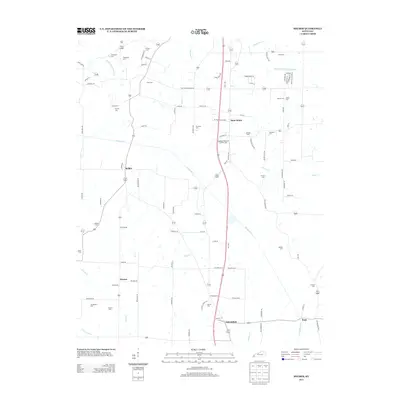 2013 Melber2013 Print · USGSWestern Kentucky's rural landscape comes into focus during the early twenty-first century near the settlements of Saint Johns and Melber. Researchers can trace local family lineages through numerous small burial sites like Tittsworth Cem, Heard Cem, and Armistead Cem.
 - 2013 Map of Elva, 2013 Print
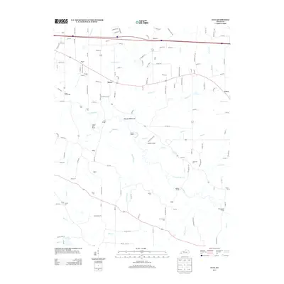 2013 Elva2013 Print · USGSIn the early twenty-first century, this Marshall County landscape remains defined by its winding waterways and rural crossroads. Genealogists can trace family legacies at Dishman Cem or Armstrong Cem, while historians can locate old river crossings like Harris Hill Ford.
 - 2013 Map of Symsonia, 2013 Print
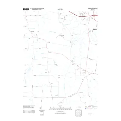 2013 Symsonia2013 Print · USGSWestern Kentucky's rural landscape comes into focus in this early twenty-first century study of the area surrounding Symsonia. Researchers can trace local lineage through numerous landmarks like Pryors Chapel Cem and Thompson Cem, or locate crossings such as Carters Mill Bridge.
 - 2013 Map of Lynn Grove, 2013 Print
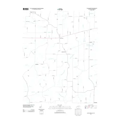 2013 Lynn Grove2013 Print · USGSCalloway County at the start of the 2010s remains a landscape of quiet groves and winding river forks near the Tennessee border. Genealogists can trace family footprints across numerous rural burial grounds like Doran Cem, Jetton Cem, and Concord Cem.
 - 2013 Map of Fancy Farm, 2013 Print
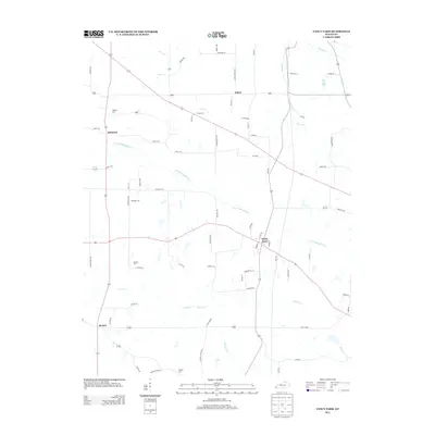 2013 Fancy Farm2013 Print · USGSThe rural landscape of Graves and Carlisle Counties is captured here in the early twenty-first century, centered on the community of Fancy Farm. Family researchers can identify specific local landmarks like Kirbyton Cem and Emmaus Cem alongside the waters of Lick Cr.
 - 2013 Map of Farmington, 2013 Print
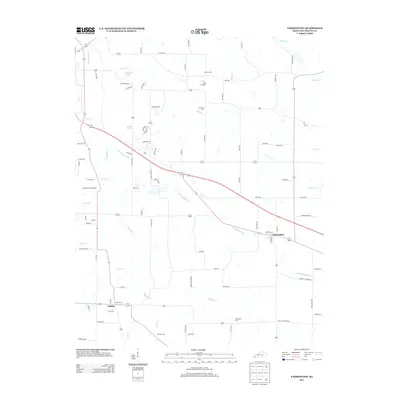 2013 Farmington2013 Print · USGSGraves County at the start of the 2010s reveals a landscape of enduring rural settlements and family-named landmarks. Genealogists can trace property boundaries near Farmington and Sedalia, or locate ancestral sites at Smyrna Cem and Hendon Cem.
 - 2013 Map of Cuba, 2013 Print
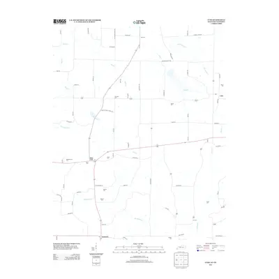 2013 Cuba2013 Print · USGSWestern Kentucky farmland and the Tennessee borderlands are captured in this recent survey. Genealogists can trace family roots through numerous local burial sites including Thompson Cem, Adams Cem, and Old Bethlehem Cem near Pilot Oak.
 - 2013 Map of Lovelaceville, 2013 Print
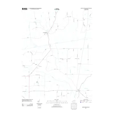 2013 Lovelaceville2013 Print · USGSLovelaceville and the surrounding Kentucky creek-lands are documented here in the early twenty-first century. Researchers can trace rural lineages through sites like Bethlehem Cem and Cross Cem or locate the small community centers of Lowes and Shaw.
 - 2013 Map of Lynnville, 2013 Print
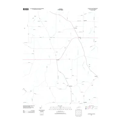 2013 Lynnville2013 Print · USGSGraves County at the Tennessee border maintains its traditional rural character in this recent survey. Local historians can trace family ties through a high density of small burial grounds like Tibbs Cem and Boydsville Cem, alongside settlements like Lynnville and Tri City.
Showing maps 1-25 of 64
Top cities of Graves County
Frequently asked questions
- What are the different types of historical maps available for Graves County?
- What is the oldest map of Graves County?
- Where can I purchase historical maps of Graves County for my home or office?
- Where can I download high-res historical maps of Graves County?
- Are there historical topographic maps available for Graves County?
- Is there historical aerial imagery available for Graves County?
- Where are historical maps of Graves County sourced from?