Old Maps of Henderson, Kentucky for Hiking & Exploration
Hike through history with 32 historic maps of Henderson. Explore old trails, ghost towns, and forgotten backroads — perfect for outdoor adventurers and local explorers.
- Rediscover forgotten places: Map out old mining camps, roads, and footpaths that no longer exist on modern maps.
- Layer with modern tools: Combine with LiDAR or satellite views to plan hikes through historical terrain.
- Made for exploration: Popular among hikers, overlanders, and local history lovers.
Use these maps to find adventure and explore the hidden past of Henderson.
Henderson, KY maps
(32)- 1914 Map of Henderson
 1914 Henderson1914 Print · USGSThe Ohio River borderlands between Indiana and Kentucky are captured here in the years before the Great War. Genealogists can trace family farms near St Vincents Church or locate long-gone rural schoolhouses like Corkie School and Three Mile School.
 - 1916 Map of Henderson
 1916 Henderson1916 Print · USGSThe Ohio River borderlands between Indiana and Kentucky thrived on a mix of river commerce and rail power during the early twentieth century. Genealogists and historians can trace numerous rural districts and schools such as Corkie School, St Vincent, and the riverfront at Mc Donalds Landing.3 unique versions available
 - 1952 Map of Evansville, 1953 Print
 1952 Evansville1953 Print · USGSThe Ohio River floodplain at the Indiana-Kentucky border comes alive in this early 1950s survey. Genealogists and local historians can trace family landholdings like Mc Clair and Bennett alongside landmarks such as Dade Park and White City.
 - 1952 Map of Henderson, 1953 Print
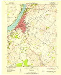 1952 Henderson1953 Print · USGSHenderson thrived as a vital river and rail crossroads in the early fifties, just as local oil exploration was dotting the landscape. Genealogists can trace family footprints across Fairmont Cemetery, visit Marshall Ch, or locate the old Audubon Sch.
 - 1952 Map of Wilson, 1954 Print
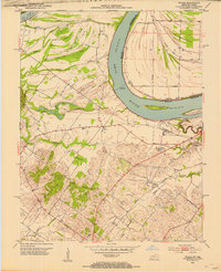 1952 Wilson1954 Print · USGSThe Ohio River loops through this borderland in the early fifties, defining a landscape of deep sloughs and timbered ridges. Genealogists can trace family names and sites at Geneva, St Johns Ch, and the Clay Cem while exploring the river's Lock and Dam No 48.
 - 1954 Map of Evansville
 1954 Evansville1954 Print · USGSThe Ohio River borderlands between Indiana and Kentucky appear here during a period of robust industrial and military growth. Genealogists and researchers can trace the rail corridors of the Illinois Central and find landmarks like US Lock and Dam No 48 or Camp Breckinridge.
 - 1957 Map of Evansville, 1959 Print
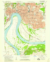 1957 Evansville1959 Print · USGSEvansville is seen in a period of significant postwar growth, where the industrial riverfront meets a rapidly expanding network of neighborhoods and schools. Researchers can trace family roots through numerous local landmarks like Evansville College, Bosse Field, and the St Marys Hospital.2 unique versions available
 - 1957 Map of Evansville, 1969 Print
 1957 Evansville1969 Print · USGSIndiana and Kentucky meet along the Ohio River in this mid-century survey of a vital industrial and transport corridor. Genealogists and historians can trace the development of river towns like Owensboro and Newburgh or locate old rail lines like the Southern Ry.3 unique versions available
 - 1959 Map of Wilson, 1960 Print
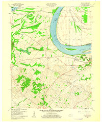 1959 Wilson1960 Print · USGSThe Ohio River meanders between Henderson County and Indiana in the late fifties, revealing a landscape of fertile bottomlands and complex river sloughs. Genealogists and local historians can locate Geneva, Lock and Dam No 48, and rural markers like St Johns Ch and Clay Cem.2 unique versions available
 - 1959 Map of Henderson, 1960 Print
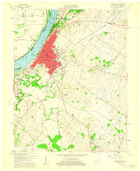 1959 Henderson1960 Print · USGSThe riverfront city of Henderson thrived in the late fifties as a hub of Kentucky industry and civic life. Genealogists can trace family names through local sites like Fairmont Cemetery, Walnut Hill Ch, and the rural community of Anthoston.
 - 1961 Map of Evansville
 1961 Evansville1961 Print · USGSThe Ohio River valley and its surrounding coalfields are captured here during the late fifties and early sixties. Trace the industrial rail networks of the Illinois Central RR and explore regional landmarks like Mammoth Cave National Park and Angel Mounds State Memorial.2 unique versions available
 - 1971 Map of Henderson, 1973 Print
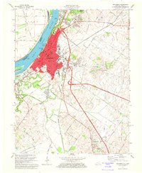 1971 Henderson1973 Print · USGSHenderson and the banks of the Ohio River are shown here in the early 1970s as the city expanded southward into the surrounding farmland. Researchers can trace family sites near Fernwood Cemetery, locate old schoolhouses like Audubon Mill Park School, or follow the Louisville and Nashville rail lines.4 unique versions available
 - 1981 Map of Wilson
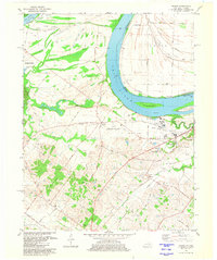 1981 Wilson1981 Print · USGSThe Ohio River borderlands of Henderson County appear here in the early eighties, balancing vast wetlands with rising industrial footprints. Genealogists can locate family-named sites like Clay Cem and Stroud Cem, while historians can trace the development of Geneva and the Henderson Community College.2 unique versions available
 - 1981 Map of Evansville South, 1982 Print
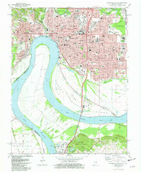 1981 Evansville South1982 Print · USGSEvansville stands as a major river-and-rail hub along the Ohio River at the start of the eighties. Researchers can trace institutional history at Evansville University and Evansville State Hospital, or locate family sites at Oak Hill Cemetery.2 unique versions available
 - 1986 Map of Evansville
 1986 Evansville1986 Print · USGSThe Ohio River valley thrives in the mid-1980s as a hub of river commerce, industry, and natural preservation spanning the Indiana-Kentucky border. Genealogists and historians can locate remote landmarks like Dead Mans Cem, Lippe Church, and the riverside community of Scuffletown.
 - 1991 Map of Evansville
 1991 Evansville1991 Print · USGSThe tri-state region of Indiana and Kentucky was a hub of river commerce and rail transport in the early nineties. Researchers can trace the industrial corridor between Evansville and Owensboro, locating landmarks like Angel Mounds State Memorial and the Seaboard System railroad.
 - 1999 Map of Evansville South, 2001 Print
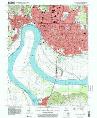 1999 Evansville South2001 Print · USGSEvansville and the surrounding river bottomlands are captured at the end of the millennium as a major regional crossroads between Indiana and Kentucky. Local historians can trace the urban footprint of Evansville University and Evansville State Hospital, or explore the wooded terrain of John James Audubon State Park.
 - 2010 Map of Henderson, 2010 Print
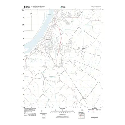 2010 Henderson2010 Print · USGSHenderson and the south bank of the Ohio River appear in great detail during the early twenty-first century. Researchers can trace genealogical sites like Fernwood Cemetery and Mount Zion Cemetery or locate outlying areas such as Anthoston and Finley Addition.
 - 2010 Map of Wilson, 2010 Print
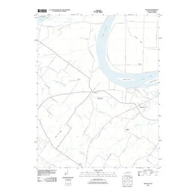 2010 Wilson2010 Print · USGSNear the Ohio River in the early twenty-first century, this region shows a detailed landscape of ridges, sloughs, and rural crossroads. Genealogists can locate family landmarks like Stroud Cemetery and Clay Cemetery or trace the environs of Geneva and Wilson.
 - 2010 Map of Evansville South, 2010 Print
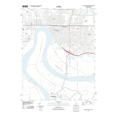 2010 Evansville South2010 Print · USGSThe riverfronts of Evansville and Henderson meet at this broad bend of the Ohio River in the early 2000s. Genealogists and historians can map out urban neighborhoods, family plots at Oak Hill Cemetery, or the rural reaches of Green River Island.
 - 2013 Map of Henderson, 2013 Print
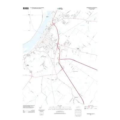 2013 Henderson2013 Print · USGSThe Kentucky-Indiana border along the Ohio River comes to life in this early twenty-first-century survey. Trace local lineage and land use through the growth of Weaverton, the layout of Flying H Farms Airport, and the drainage of Elam Ditch.
 - 2013 Map of Wilson, 2013 Print
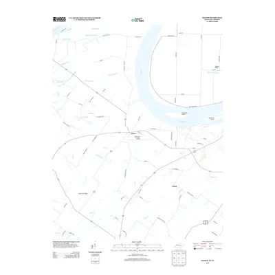 2013 Wilson2013 Print · USGSThe Ohio River bottomlands south of Evansville are captured in this 2013 survey, showcasing a landscape defined by winding sloughs and river islands. Genealogists and local historians can trace family land near Geneva or Wilson and locate landmarks like Clay Cemetery Rd and Deadmans Island.
 - 2013 Map of Evansville South, 2013 Print
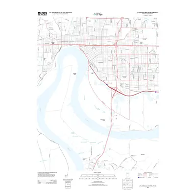 2013 Evansville South2013 Print · USGSThe riverfront and southern neighborhoods of Evansville appear here in the early twenty-first century, showing the city's complex relationship with the Ohio River. Researchers can locate longstanding landmarks like Roberts Municipal Stadium and the riverside community of White City.
 - 2016 Map of Wilson, 2016 Print
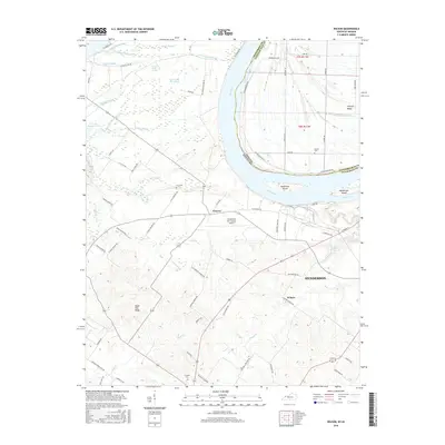 2016 Wilson2016 Print · USGSThe Ohio River valley south of Evansville appears here in the mid-2010s, showing a landscape defined by expansive wetlands and river islands. Researchers can trace rural cemeteries such as Clay Cem and Stroud Cem or locate the small settlements of Geneva and Wilson.
 - 2016 Map of Henderson, 2016 Print
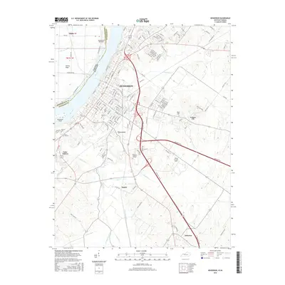 2016 Henderson2016 Print · USGSThe riverfront city of Henderson and its southern Kentucky hinterlands are shown here in the mid-2010s, bordering the Ohio River. Genealogists and historians can trace numerous local burial sites including Fairmont Cem and Mount Zion Cem or the outlier settlement of Anthoston.
Showing maps 1-25 of 32
Top cities near Henderson
- Evansville historical maps
- Newburgh historical maps
- Chandler historical maps
- Sebree historical maps
- Corydon historical maps
- Robards historical maps
See more
Top neighborhoods of Henderson
Frequently asked questions
- What are the different types of historical maps available for Henderson?
- What is the oldest map of Henderson?
- Where can I purchase historical maps of Henderson for my home or office?
- Where can I download high-res historical maps of Henderson?
- Are there historical topographic maps available for Henderson?
- Is there historical aerial imagery available for Henderson?
- Where are historical maps of Henderson sourced from?