2010s Maps of McCracken County, Kentucky
Explore 47 historic maps of McCracken County from the 2010s. These maps offer a rare glimpse into what life looked like during the 2010s — showing old roads, neighborhoods, homes, and landmarks that have changed or disappeared over time.
Whether you're researching your family's past, planning a metal detecting trip, or studying how McCracken County's landscape evolved across the 2010s, these high-resolution maps are a powerful tool for exploring the history of this region.
- Focus on a specific era: All maps on this page are from the 2010s, giving you a focused view of this time period.
- See what’s changed: Compare century-old streets, trails, and buildings to today's modern landscape using overlays and satellite layers.
- Research with precision: Use these maps for genealogy, historical research, land use analysis, or educational projects.
- View, download, or print: Maps are fully viewable online in high resolution, and can be downloaded or printed for your own records.
Start exploring McCracken County's history through authentic maps from the 2010s. This is your window into the past.
McCracken County, KY maps
(47)- 2010 Map of Little Cypress, 2010 Print
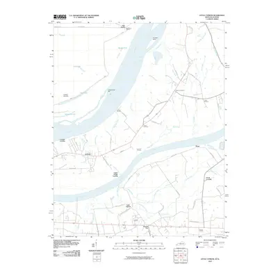 2010 Little Cypress2010 Print · USGSWestern Kentucky near the meeting of the Ohio and Tennessee Rivers comes into focus here in the early twenty-first century. Genealogists and local historians can trace family ties at Possum Trot, Crowell Landing, and Leeper Cemetery.
 - 2010 Map of Lovelaceville, 2010 Print
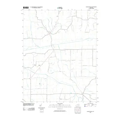 2010 Lovelaceville2010 Print · USGSLovelaceville and its surrounding creek valleys are documented here at the start of the 2010s. Genealogists and local historians can trace family locations through sites like Shaw, Bethlehem Cemetery, and the lands surrounding Mayfield Creek.
 - 2010 Map of Joppa, 2010 Print
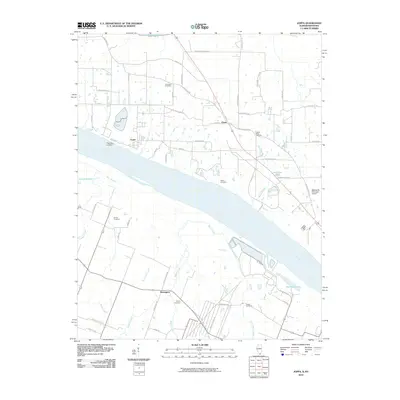 2010 Joppa2010 Print · USGSThe Ohio River shoreline and southern Illinois interior are captured here in the early 21st century. Researchers can trace local history through family sites like Kirkendall Cemetery and Martin Cemetery, or locate old river points such as Fletchers Landing.
 - 2010 Map of Melber, 2010 Print
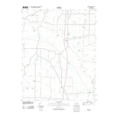 2010 Melber2010 Print · USGSMcCracken County farmsteads and rural crossroads are meticulously documented in this early twenty-first-century survey of the Melber region. Researchers can trace ancestral lands through a vast array of family sites like Haynes Cemetery and McNeil Cemetery near the banks of Mayfield Creek.
 - 2010 Map of Elva, 2010 Print
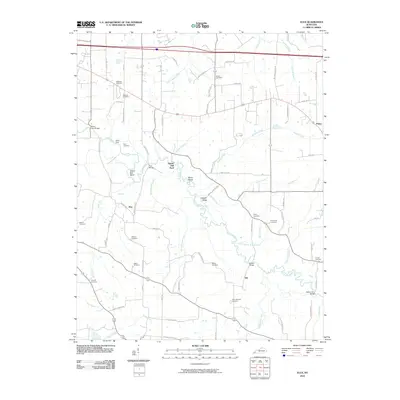 2010 Elva2010 Print · USGSMarshall County's rural landscape is mapped here as it appeared in the early twenty-first century, centered on the winding Clarks River. Genealogists and local historians can trace family roots through numerous sites like Wallace Cemetery, Barker Cemetery, and the old settlement at Elva.
 - 2010 Map of Paducah East, 2010 Print
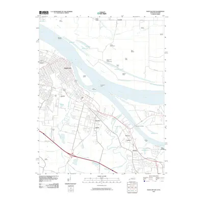 2010 Paducah East2010 Print · USGSPaducah sits at the historic confluence of the Ohio and Tennessee Rivers in this 2010 survey of the region's industrial and residential growth. Genealogists and local historians can trace family sites at Maplelawn Cemetery or explore the rail hubs of the North Yard and South Yard.
 - 2010 Map of Symsonia, 2010 Print
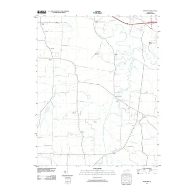 2010 Symsonia2010 Print · USGSWestern Kentucky’s river valleys are documented here during a period of steady rural continuity. Genealogists can locate several burial sites like Boaz Cemetery and Boat Cemetery while tracing landmarks like Farrington Airpark.
 - 2010 Map of Paducah West, 2010 Print
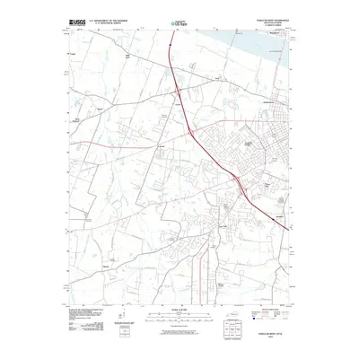 2010 Paducah West2010 Print · USGSWest of Paducah in the early 2000s, the riverfront and suburban expansion define this stretch of the Ohio River valley. Genealogists and local historians can trace family locations through numerous sites like Mount Kenton Cemetery, Bumpous Cemetery, and the community of Lone Oak.
 - 2010 Map of La Center, 2010 Print
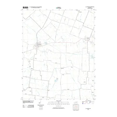 2010 La Center2010 Print · USGSWestern Kentucky at the start of the 2010s reveals a deeply rooted rural landscape centered on La Center and Kevil. Genealogists can trace family names through numerous local burial sites like Criswell Cemetery, Hines Cemetery, and Jackson Cemetery.
 - 2010 Map of Heath, 2010 Print
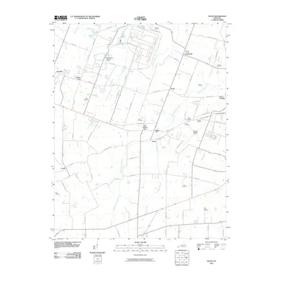 2010 Heath2010 Print · USGSMcCracken County in the early twenty-first century reveals a landscape defined by industrial heritage and a dense network of country cemeteries. Researchers can trace the footprint of the Old Kentucky Ordnance Works or locate family sites like Cowlin Cemetery and Graham Cemetery near Heath.
 - 2010 Map of Bandana, 2010 Print
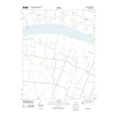 2010 Bandana2010 Print · USGSThe riverfront along the Kentucky and Illinois border comes alive in this study of the Ohio River valley. Genealogists and local historians can trace family roots through numerous sites like Ohio Chapel Cemetery, the settlement of Needmore, and Grand Chain Landing.
 - 2010 Map of Metropolis, 2010 Print
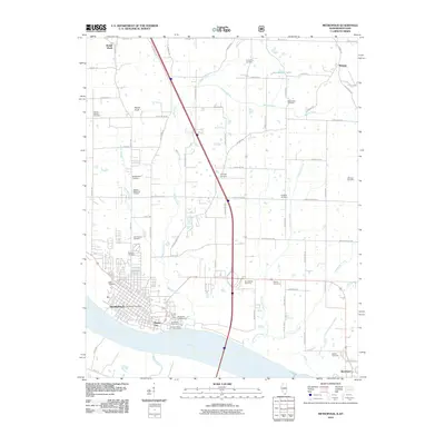 2010 Metropolis2010 Print · USGSSouthern Illinois river life and rural heritage are captured here in the early twenty-first century as the Ohio River flows past METROPOLIS. Researchers can trace local lineage through numerous sites like Round Spring Cemetery and Masonic Cemetery or locate the historic bounds of Massac City.
 - 2012 Map of Joppa, 2012 Print
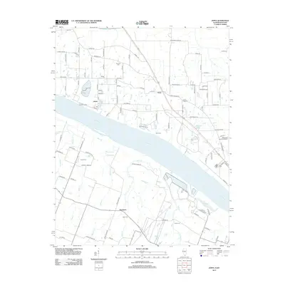 2012 Joppa2012 Print · USGSThe Illinois-Kentucky river border comes to life in this study of the Ohio River corridor near Joppa during the early 2010s. Genealogists and historians can locate numerous burial grounds and rural landmarks like Kirkendall Cem, Rossington, and Macedonia Church.
 - 2013 Map of Melber, 2013 Print
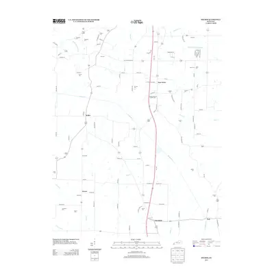 2013 Melber2013 Print · USGSWestern Kentucky's rural landscape comes into focus during the early twenty-first century near the settlements of Saint Johns and Melber. Researchers can trace local family lineages through numerous small burial sites like Tittsworth Cem, Heard Cem, and Armistead Cem.
 - 2013 Map of Elva, 2013 Print
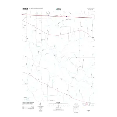 2013 Elva2013 Print · USGSIn the early twenty-first century, this Marshall County landscape remains defined by its winding waterways and rural crossroads. Genealogists can trace family legacies at Dishman Cem or Armstrong Cem, while historians can locate old river crossings like Harris Hill Ford.
 - 2013 Map of Symsonia, 2013 Print
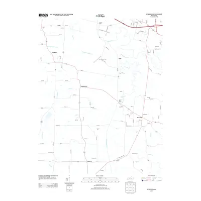 2013 Symsonia2013 Print · USGSWestern Kentucky's rural landscape comes into focus in this early twenty-first century study of the area surrounding Symsonia. Researchers can trace local lineage through numerous landmarks like Pryors Chapel Cem and Thompson Cem, or locate crossings such as Carters Mill Bridge.
 - 2013 Map of Lovelaceville, 2013 Print
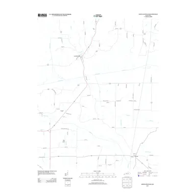 2013 Lovelaceville2013 Print · USGSLovelaceville and the surrounding Kentucky creek-lands are documented here in the early twenty-first century. Researchers can trace rural lineages through sites like Bethlehem Cem and Cross Cem or locate the small community centers of Lowes and Shaw.
 - 2013 Map of Paducah East, 2013 Print
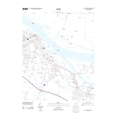 2013 Paducah East2013 Print · USGSEastern Paducah and its riverfront suburbs come into focus during this 2013 survey of the Ohio and Tennessee River confluence. Researchers can trace family history through sites like Maplelawn Cem or locate community hubs in Reidland and Stiles Crossing.
 - 2013 Map of La Center, 2013 Print
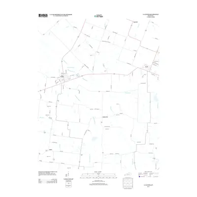 2013 La Center2013 Print · USGSWestern Kentucky farmland near the turn of the twenty-first century is preserved here, centered on the communities of La Center and Kevil. Genealogists will find a wealth of family history in the locations of the Terrell Cem, Jackson Cem, and Newton Cem.
 - 2013 Map of Little Cypress, 2013 Print
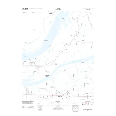 2013 Little Cypress2013 Print · USGSMarshall County at the start of the 2010s reveals a complex network of river landings and small settlements where the Tennessee meets the Ohio. Genealogists and historians can trace family-named sites like Possum Trot, New Liberty, and Sand Hill Cem.
 - 2013 Map of Heath, 2013 Print
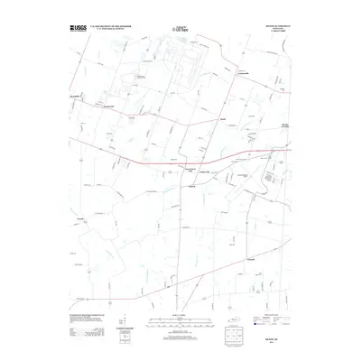 2013 Heath2013 Print · USGSWest of Paducah in the early twenty-first century, this area balances its mid-century industrial roots with modern aviation infrastructure. Researchers can trace family history through numerous burial grounds like Harmony Cem and Quarles Cem or explore the layout of the Old Kentucky Ordnance Works.
 - 2013 Map of Paducah West, 2013 Print
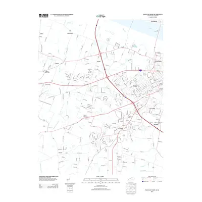 2013 Paducah West2013 Print · USGSWest of the city center in the 2010s, this area shows the expansion of McCracken County neighborhoods and riverfront industry. Researchers can trace family history through numerous local burial grounds, including Mt Kenton Cem, Stanley Cem, and Saint Matthews Cem.
 - 2013 Map of Bandana, 2013 Print
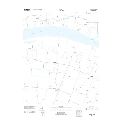 2013 Bandana2013 Print · USGSThe Ohio River corridor between Illinois and Kentucky comes alive in the early twenty-first century, showcasing a region defined by its waterway and small hamlets. Genealogists can trace family sites at Ohio Chapel Cem and Holman Cem or locate the uniquely named Monkeys Eyebrow.
 - 2015 Map of Joppa, 2015 Print
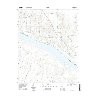 2015 Joppa2015 Print · USGSThe riverfront town of Joppa sits at the center of this mid-2010s survey, where the Ohio River forms the state line between Illinois and Kentucky. Local historians can trace family ties at Kirkendall Cem and Liberty Ridge Cem or locate the site of Rossington near Bayou Cr.
 - 2015 Map of Metropolis, 2015 Print
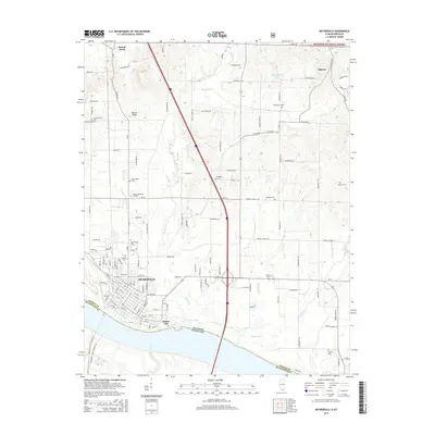 2015 Metropolis2015 Print · USGSMetropolis and the surrounding Massac County countryside are shown here along the north bank of the Ohio River in the mid-2010s. Researchers can trace numerous family burial sites such as Round Spring Cemetery or locate landmarks like Fort Massac Drive.
Showing maps 1-25 of 47
Top cities of McCracken County
Frequently asked questions
- What are the different types of historical maps available for McCracken County?
- What is the oldest map of McCracken County?
- Where can I purchase historical maps of McCracken County for my home or office?
- Where can I download high-res historical maps of McCracken County?
- Are there historical topographic maps available for McCracken County?
- Is there historical aerial imagery available for McCracken County?
- Where are historical maps of McCracken County sourced from?