1900s (20th Century) Maps of Allen Parish, Louisiana
Explore 90 historic maps of Allen Parish from the 1900s (20th Century). These maps offer a rare glimpse into what life looked like during the 1900s — showing old roads, neighborhoods, homes, and landmarks that have changed or disappeared over time.
Whether you're researching your family's past, planning a metal detecting trip, or studying how Allen Parish's landscape evolved across the 1900s, these high-resolution maps are a powerful tool for exploring the history of this region.
- Focus on a specific era: All maps on this page are from the 1900s, giving you a focused view of this time period.
- See what’s changed: Compare century-old streets, trails, and buildings to today's modern landscape using overlays and satellite layers.
- Research with precision: Use these maps for genealogy, historical research, land use analysis, or educational projects.
- View, download, or print: Maps are fully viewable online in high resolution, and can be downloaded or printed for your own records.
Start exploring Allen Parish's history through authentic maps from the 1900s. This is your window into the past.
Allen Parish, LA maps
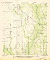
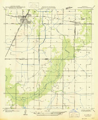
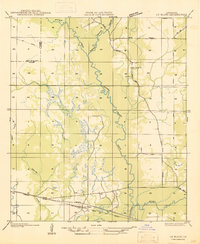
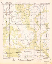
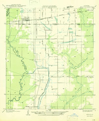
(90)- 1935 Map of Beaver
 1935 Beaver1935 Print · USGSCovers Allen Parish, including Oakdale, Cypress Creek, and other nearby areas
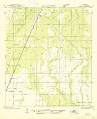
 - 1935 Map of Mittie
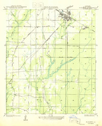
 1935 Mittie1935 Print · USGSCovers Allen Parish, including Simmons Settlement, Mittie, and other nearby areas
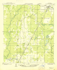
 - 1935 Map of Pawnee
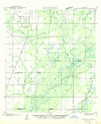
 1935 Pawnee1935 Print · USGSCovers Allen Parish, including Pawnee, Union Hill, and other nearby areas
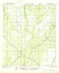
 - 1935 Map of Gaytine
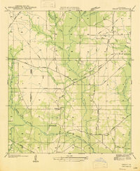
 1935 Gaytine1935 Print · USGSCovers Allen Parish, including Gaytine, Turps, and other nearby areas
 - 1935 Map of Oakdale
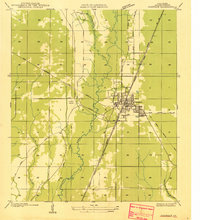 1935 Oakdale1935 Print · USGSCovers Allen Parish, including Oakdale, United States, and other nearby areas
 - 1935 Map of Longville
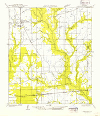 1935 Longville1935 Print · USGSCovers Allen Parish, including Edith, Fulton, and other nearby areas
 - 1942 Map of Oakdale, 1964 Print
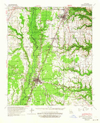 1942 Oakdale1964 Print · USGSCovers Allen Parish, including Oakdale, Glenmora, and other nearby areas
 - 1947 Map of Gaytine
 1947 Gaytine1947 Print · USGSCovers Allen Parish, including Gaytine, Turps, and other nearby areas
 - 1947 Map of Kinder
 1947 Kinder1947 Print · USGSCovers Allen Parish, including Kinder, Lauderdale, and other nearby areas
 - 1947 Map of Fruge Lake
 1947 Fruge Lake1947 Print · USGSCovers Allen Parish, including Hampton, Duralde, and other nearby areas
 - 1947 Map of Foley
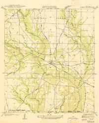
 1947 Foley1947 Print · USGSCovers Allen Parish, including Oberlin, Canton, and other nearby areas
 - 1947 Map of Oberlin
 1947 Oberlin1947 Print · USGSCovers Allen Parish, including Oberlin, Elder, and other nearby areas
 - 1947 Map of Steep Gully
 1947 Steep Gully1947 Print · USGSCovers Allen Parish, including Elizabeth, Westport, and other nearby areas
 - 1947 Map of Pine Chapel
 1947 Pine Chapel1947 Print · USGSCovers Allen Parish, including Oberlin, United States, and other nearby areas
 - 1947 Map of Le Blanc
 1947 Le Blanc1947 Print · USGSCovers Allen Parish, including Le Blanc, Harmony, and other nearby areas
 - 1947 Map of Elton
 1947 Elton1947 Print · USGSCovers Allen Parish, including Elton, China, and other nearby areas
 - 1947 Map of Edna
 1947 Edna1947 Print · USGSCovers Allen Parish, including Stanley, Fontenot, and other nearby areas
 - 1947 Map of Reeves
 1947 Reeves1947 Print · USGSCovers Allen Parish, including Reeves, Bel, and other nearby areas
 - 1947 Map of Bond
 1947 Bond1947 Print · USGSCovers Allen Parish, including Bond, Evangeline Parish, and other nearby areas
 - 1947 Map of Longville
 1947 Longville1947 Print · USGSCovers Allen Parish, including Edith, Fulton, and other nearby areas
 - 1947 Map of Elizabeth
 1947 Elizabeth1947 Print · USGSCovers Allen Parish, including Elizabeth, Mab, and other nearby areas
 - 1947 Map of Thompson Bluff
 1947 Thompson Bluff1947 Print · USGSCovers Allen Parish, including Buller, Topsy, and other nearby areas
 - 1947 Map of Grant
 1947 Grant1947 Print · USGSCovers Allen Parish, including Reids, Grant, and other nearby areas
 - 1947 Map of Basile
 1947 Basile1947 Print · USGSCovers Allen Parish, including Basile, Redich, and other nearby areas
 - 1947 Map of Pitkin
 1947 Pitkin1947 Print · USGSCovers Allen Parish, including Dido, Pitkin, and other nearby areas
Showing maps 1-25 of 90
Top cities of Allen Parish
- Oakdale historical maps
- Kinder historical maps
- Oberlin historical maps
- Elizabeth historical maps
- Reeves historical maps
Frequently asked questions
- What are the different types of historical maps available for Allen Parish?
- What is the oldest map of Allen Parish?
- Where can I purchase historical maps of Allen Parish for my home or office?
- Where can I download high-res historical maps of Allen Parish?
- Are there historical topographic maps available for Allen Parish?
- Is there historical aerial imagery available for Allen Parish?
- Where are historical maps of Allen Parish sourced from?