2010s Maps of St. James Parish, Louisiana
Explore 24 historic maps of St. James Parish from the 2010s. These maps offer a rare glimpse into what life looked like during the 2010s — showing old roads, neighborhoods, homes, and landmarks that have changed or disappeared over time.
Whether you're researching your family's past, planning a metal detecting trip, or studying how St. James Parish's landscape evolved across the 2010s, these high-resolution maps are a powerful tool for exploring the history of this region.
- Focus on a specific era: All maps on this page are from the 2010s, giving you a focused view of this time period.
- See what’s changed: Compare century-old streets, trails, and buildings to today's modern landscape using overlays and satellite layers.
- Research with precision: Use these maps for genealogy, historical research, land use analysis, or educational projects.
- View, download, or print: Maps are fully viewable online in high resolution, and can be downloaded or printed for your own records.
Start exploring St. James Parish's history through authentic maps from the 2010s. This is your window into the past.
St. James Parish, LA maps
(24)- 2012 Map of Convent, 2012 Print
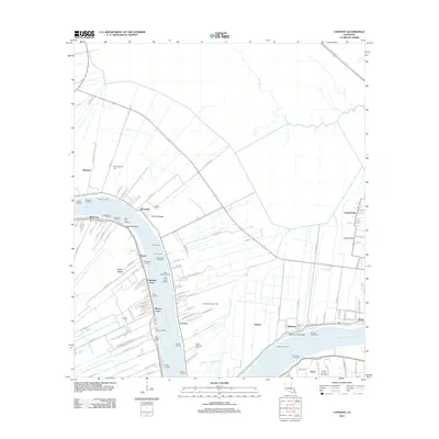 2012 Convent2012 Print · USGSLouisiana river life in the early twenty-first century is captured along this stretch of the Mississippi River near Convent. Genealogists and local historians can trace family-named landings and historic burial sites such as Oak Alley Landing, Celestin Cem, and Chatman Town.
 - 2012 Map of Lutcher, 2012 Print
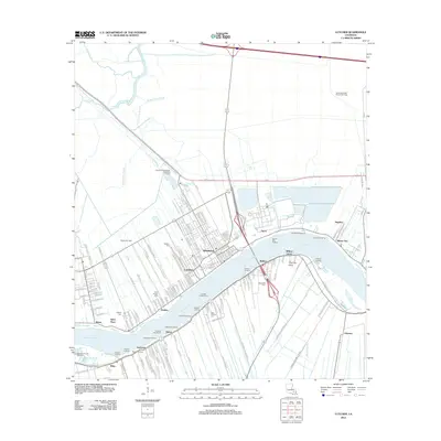 2012 Lutcher2012 Print · USGSLutcher and Gramercy occupy the fertile banks of the Mississippi River during this modern survey of St. James Parish. Genealogists and historians can locate numerous landings and burial sites like Saint Phillips Cem and trace the Lutcher-Cresent Ferry route.
 - 2012 Map of Lower Vacherie, 2012 Print
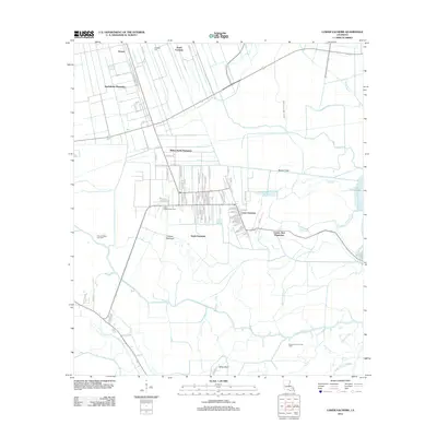 2012 Lower Vacherie2012 Print · USGSSt. James Parish at the start of the decade shows the enduring footprint of the Mississippi River plantation system and its transition into the delta marsh. Researchers can trace the layout of Webre Steib Plantation and Southdown Plantation alongside modern developments like Coteau Chevreuil.
 - 2012 Map of Madewood, 2012 Print
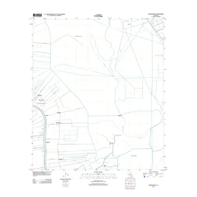 2012 Madewood2012 Print · USGSAssumption Parish at the turn of the decade reveals a landscape defined by the historic corridor of Bayou Lafourche and its surrounding sugar country. Genealogists can trace family footprints through settlements like Elmfield, Bertie, and Albemarle, or locate landmarks like Cedar Grove Plantation Pond.
 - 2012 Map of Sorrento, 2012 Print
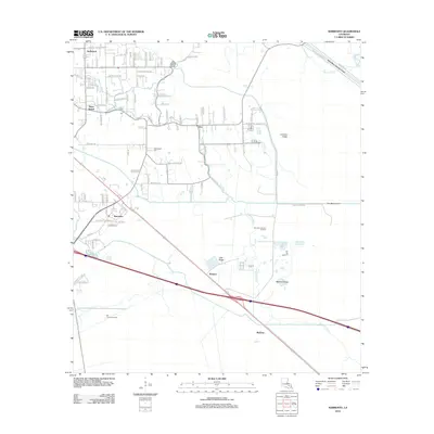 2012 Sorrento2012 Print · USGSAscension Parish settlement and industry are captured here in the early twenty-first century, showing the area's intricate bayou network. Researchers can trace family-named roads and find local landmarks like Richardson Cem, Saint Amant, and the Sorrento Gas and Oil Field.
 - 2012 Map of Donaldsonville, 2012 Print
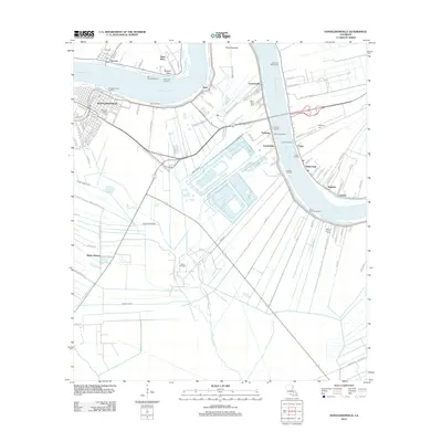 2012 Donaldsonville2012 Print · USGSThe riverfront around Donaldsonville and Ascension Parish is captured here during a period of modern industrial and maritime activity. Genealogists and local researchers can locate family sites at Ascension Catholic Cem, Buena Vista Cem, and across river communities like Lemannville and White Hall.
 - 2012 Map of Mount Airy NW, 2012 Print
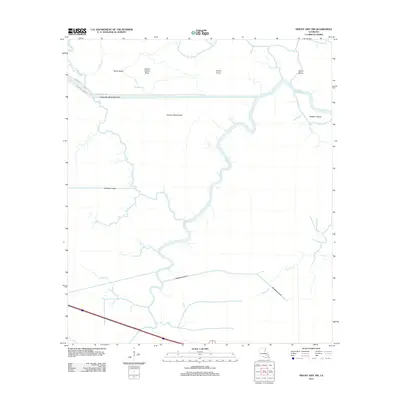 2012 Mount Airy NW2012 Print · USGSLivingston Parish watercourses and cypress-covered coteaus are mapped here in the early twenty-first century as modern canals intersect older bayous. Researchers can trace the path of the Amite River Diversion Canal and local landmarks like Sarah Ridge and Alligator Island.
 - 2012 Map of Lagan, 2012 Print
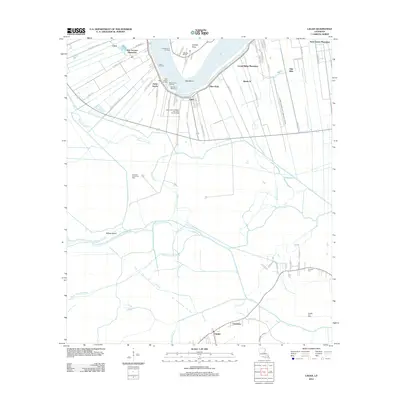 2012 Lagan2012 Print · USGSThe Mississippi River's great bend in St. James Parish is documented here during a period when classic riverfront estates existed alongside modern energy fields. Genealogists and historians can trace family-named sites like Oak Alley, Trosclair Cem, and Bon Secours Plantation.
 - 2015 Map of Convent, 2015 Print
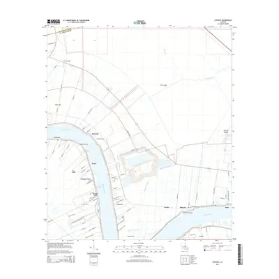 2015 Convent2015 Print · USGSThe Mississippi River corridor of St. James Parish is documented here in the mid-2010s, showing the traditional river-fronting settlements. Trace local family history and land use through Convent, Romeville, and burial sites like Saint Michael Cem.
 - 2015 Map of Madewood, 2015 Print
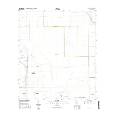 2015 Madewood2015 Print · USGSAssumption Parish settlements line the banks of the bayou in this 2015 survey of the Louisiana lowlands. Researchers can trace historical land divisions and local landmarks from Elmfield to Albemarle, including the Cedar Grove Plantation Pond.
 - 2015 Map of Lagan, 2015 Print
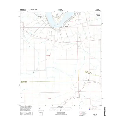 2015 Lagan2015 Print · USGSThe river parishes of Louisiana are captured here in the early twenty-first century, showing the historic long-lot plantation system along the Mississippi River. Genealogists and researchers can locate landmarks like Oak Alley, the Trosclair Cem, and settlements such as Lagan and Chackbay.
 - 2015 Map of Lower Vacherie, 2015 Print
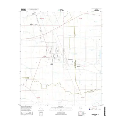 2015 Lower Vacherie2015 Print · USGSThe Vacherie region of St. James Parish is documented here in the early twenty-first century, showing the enduring structure of the Mississippi delta's historic land grants. Genealogists and historians can trace family-named roads like Judge Becnel Ln and locate sites such as Southdown Plantation or the Highway Cem.
 - 2015 Map of Mount Airy NW, 2015 Print
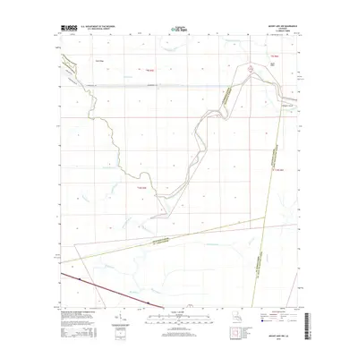 2015 Mount Airy NW2015 Print · USGSThe swampy interface of Livingston and Ascension Parishes is captured here in the mid-2010s, showing a landscape defined by winding bayous and drainage canals. Researchers can trace the complex hydrology of the Blind River, find the residential growth near Sarah Ridge, and locate landmarks like Alligator Island.
 - 2015 Map of Sorrento, 2015 Print
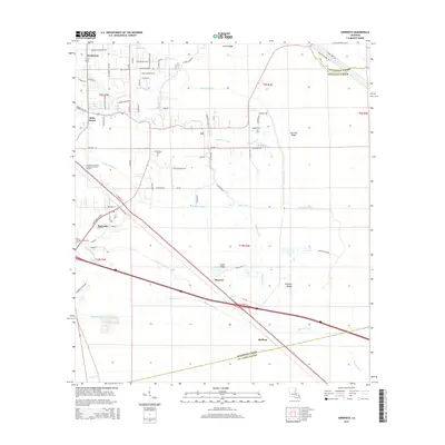 2015 Sorrento2015 Print · USGSAscension Parish is captured here in the mid-2010s, showing a landscape defined by its intricate bayous and drainage canals. Researchers can trace local lineages through family-named roads or locate small communities like Acy, Barmen, and the Richardson Cem.
 - 2015 Map of Lutcher, 2015 Print
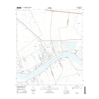 2015 Lutcher2015 Print · USGSRiverfront life in St. James Parish is detailed here during the mid-2010s, showing the tight-knit settlements along the Mississippi. Researchers can trace local lineage through Antioch Cem, Western Cem, and the streets of Lutcher and Vacherie.
 - 2015 Map of Donaldsonville, 2015 Print
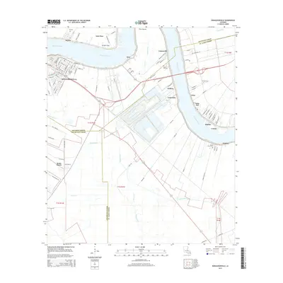 2015 Donaldsonville2015 Print · USGSThe Mississippi River bends through Ascension and St. James Parishes in the mid-2010s, centering on the historic riverfront at Donaldsonville. Researchers can trace old settlement patterns from Lemannville to Welcome and locate family sites like Buena Vista Cem and Ebenezer.
 - 2018 Map of Lagan, 2018 Print
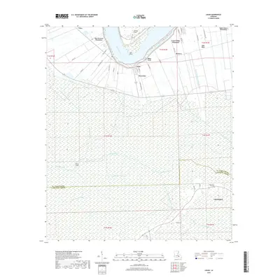 2018 Lagan2018 Print · USGSThe riverfront culture of St. James Parish is preserved in this recent survey of the Mississippi's great bends. You can trace the proximity of historic estates like Oak Alley to the winding waterways of Bayou Citamon and the remote Bayou Heron Graveyard.
 - 2018 Map of Lower Vacherie, 2018 Print
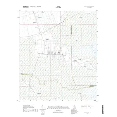 2018 Lower Vacherie2018 Print · USGSCoastal Louisiana wetlands and historic river-parish settlements are captured here in the late twenty-teens. Genealogists and local historians can trace the footprints of Webre Steib Plantation and Southdown Plantation or locate family sites near Highway Baptist Church Cem.
 - 2018 Map of Madewood, 2018 Print
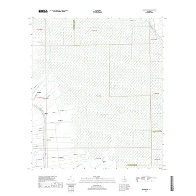 2018 Madewood2018 Print · USGSAssumption Parish at the turn of the 21st century remains defined by its bayou heritage and the legacies of its historic estates. Genealogists and local historians can trace the development of riverside communities like Madewood, Bertie, and Albemarle along the banks of Bayou Lafourche.
 - 2018 Map of Donaldsonville, 2018 Print
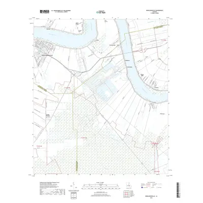 2018 Donaldsonville2018 Print · USGSThe Mississippi River corridor near Donaldsonville reveals a landscape of historic long-lot plantations and riverfront settlements in the late 2010s. Researchers can trace ancestral connections through numerous local burial grounds, including Ascension Catholic Cem, Philippian Cem, and Mount Calvary Cem.
 - 2018 Map of Convent, 2018 Print
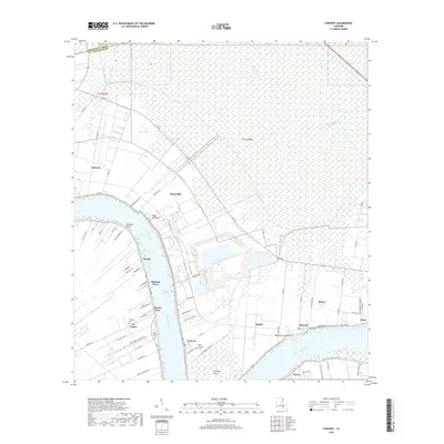 2018 Convent2018 Print · USGSThe Mississippi River corridor in St. James Parish is documented here in the late 2010s, showing a landscape of riverfront settlements and vast swamplands. Genealogists and local historians can locate several specific burial sites like Saint Michael Cem and explore communities such as Convent, Romeville, and Hester.
 - 2018 Map of Sorrento, 2018 Print
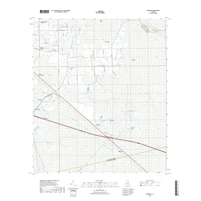 2018 Sorrento2018 Print · USGSIn the river parishes during the late twenty-teens, this area shows a landscape of deep-rooted settlements and modern infrastructure. Genealogists can trace family landmarks like the Richardson Cem and named thoroughfares such as Peter Bourgeois Rd near Saint Amant.
 - 2018 Map of Lutcher, 2018 Print
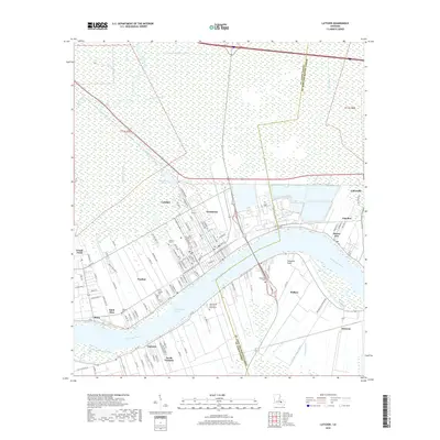 2018 Lutcher2018 Print · USGSSt. James Parish and St. John the Baptist Parish meet along the Mississippi River in this 2010s survey. Genealogists and local historians can trace family-named sites and established riverfront communities from Lutcher and Gramercy to the Saint Philip Cem and Mausoleum.
 - 2018 Map of Mount Airy NW, 2018 Print
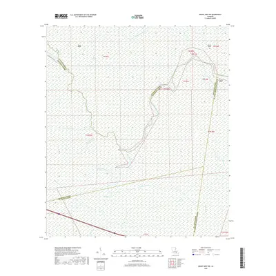 2018 Mount Airy NW2018 Print · USGSThe marshlands of south Louisiana are captured in this 2018 survey at the intersection of four different parishes. Local researchers can trace the winding paths of the Blind River, the Petite Amite River, and landmarks like Sarah Ridge and Alligator Island.
End of results
Showing maps 1-24 of 24
Top cities of St. James Parish
Frequently asked questions
- What are the different types of historical maps available for St. James Parish?
- What is the oldest map of St. James Parish?
- Where can I purchase historical maps of St. James Parish for my home or office?
- Where can I download high-res historical maps of St. James Parish?
- Are there historical topographic maps available for St. James Parish?
- Is there historical aerial imagery available for St. James Parish?
- Where are historical maps of St. James Parish sourced from?