2010s Maps of St. Mary Parish, Louisiana
Explore 86 historic maps of St. Mary Parish from the 2010s. These maps offer a rare glimpse into what life looked like during the 2010s — showing old roads, neighborhoods, homes, and landmarks that have changed or disappeared over time.
Whether you're researching your family's past, planning a metal detecting trip, or studying how St. Mary Parish's landscape evolved across the 2010s, these high-resolution maps are a powerful tool for exploring the history of this region.
- Focus on a specific era: All maps on this page are from the 2010s, giving you a focused view of this time period.
- See what’s changed: Compare century-old streets, trails, and buildings to today's modern landscape using overlays and satellite layers.
- Research with precision: Use these maps for genealogy, historical research, land use analysis, or educational projects.
- View, download, or print: Maps are fully viewable online in high resolution, and can be downloaded or printed for your own records.
Start exploring St. Mary Parish's history through authentic maps from the 2010s. This is your window into the past.
St. Mary Parish, LA maps
(86)- 2012 Map of Ellerslie, 2012 Print
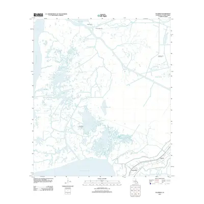 2012 Ellerslie2012 Print · USGSCoastal St. Mary Parish is mapped here in the early twenty-first century, showing the vulnerable settlements of Ellerslie and South Bend. Researchers can trace the massive levee system and industrial sites like the Garden City Gas and Oil Field and British-American Canal.
 - 2012 Map of Lake Salve, 2012 Print
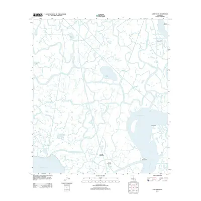 2012 Lake Salve2012 Print · USGSThe Louisiana marshlands come into focus in this 2012 survey, revealing an intricate deltaic landscape. Researchers can trace the waterways of Lake Salve, the Bateman Lake Gas and Oil Field, and named elevations like Live Oak Hammock.
 - 2012 Map of Weeks, 2012 Print
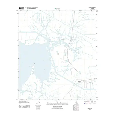 2012 Weeks2012 Print · USGSCoastal Louisiana at the start of the 2010s reveals a landscape of industrial extraction and marshland navigation. Genealogists and researchers can locate family sites like Ewing Cem and trace the infrastructure of the Weeks Island Oil and Gas Field or the Port of West Saint Mary.
 - 2012 Map of Franklin, 2012 Print
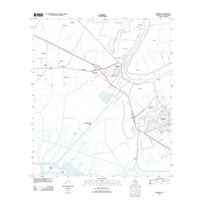 2012 Franklin2012 Print · USGSCoastal Louisiana at the turn of the decade is defined here by the winding Bayou Teche and the busy corridors of Franklin and Baldwin. Genealogists and historians can trace family-named areas like Gold Mine or Rodriquez and locate landmarks like Chitimacha Air Park.
 - 2012 Map of Tiger Island, 2012 Print
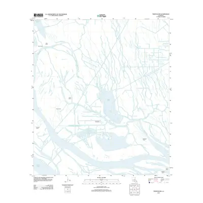 2012 Tiger Island2012 Print · USGSSaint Martin Parish in the early 21st century reveals a working wetland landscape shaped by the energy industry and complex bayou systems. You can trace the footprint of the Duck Lake Oil and Gas Field and the winding paths of Little Bayou Sorrel and Yellow Bayou.
 - 2012 Map of North Bend, 2012 Print
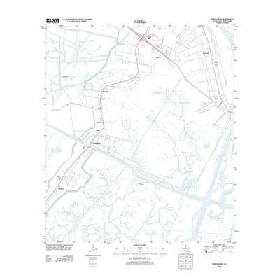 2012 North Bend2012 Print · USGSSt. Mary Parish at the turn of the decade reveals a complex web of bayous and industrial gas fields along the Louisiana coast. Researchers can trace ancestral sites at North Bend Cem and Midway Cem or explore the settlements of Shadyside and Ricohoc.
 - 2012 Map of Amelia, 2012 Print
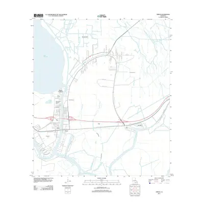 2012 Amelia2012 Print · USGSCoastal Louisiana's industrial and waterborne heritage is on full display here during the early twenty-first century. Researchers can trace the proximity of family sites like Saint Andrews Cem to significant energy infrastructure at the Amelia Gas Field and the Bayou Boeuf Seaplane Base.
 - 2012 Map of Patterson, 2012 Print
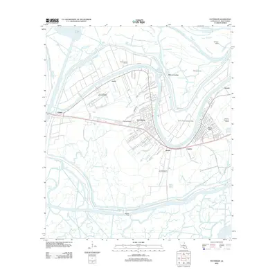 2012 Patterson2012 Print · USGSDeep in the bayou country during the early twenty-first century, this survey shows the convergence of river life and industry. Trace the developed waterfronts of Patterson and Bayou Vista, or locate the Patterson Oil and Gas Field and Wilsons Landing.
 - 2012 Map of Hammock Lake, 2012 Print
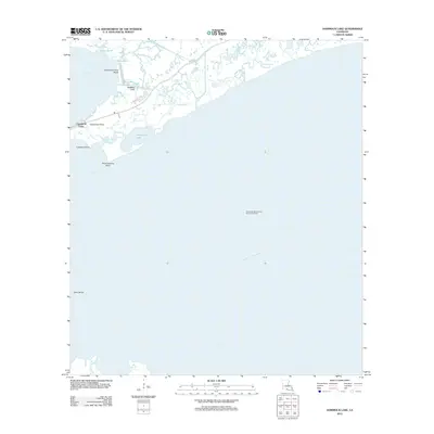 2012 Hammock Lake2012 Print · USGSThe Louisiana coast at Cypremort Point comes into focus in the early 2010s, showing a landscape defined by marsh, bayou, and offshore industry. Trace the local geography from Cypremort Point Beach to the West Cote Blanche Bay Oil and Gas Field.
 - 2012 Map of Jeanerette, 2012 Print
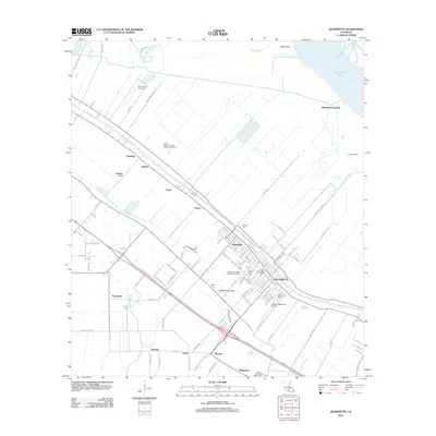 2012 Jeanerette2012 Print · USGSLouisiana's Iberia Parish is shown here during a period of industrial and agricultural coordination along the historic Bayou Teche. Researchers can locate several burial sites including Boynton Cem and Mount Calvary Cem, alongside regional markers like Bourgeois Landing.
 - 2012 Map of Morgan City SW, 2012 Print
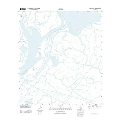 2012 Morgan City SW2012 Print · USGSCoastal wetlands and industrial waterways define the southwestern Louisiana marsh during the early 2010s. Researchers can trace the complex delta hydrology through Lake Gascha, the Sweetbay Lake Oil and Gas Field, and the Avoca Island Cutoff.
 - 2012 Map of Morgan City SE, 2012 Print
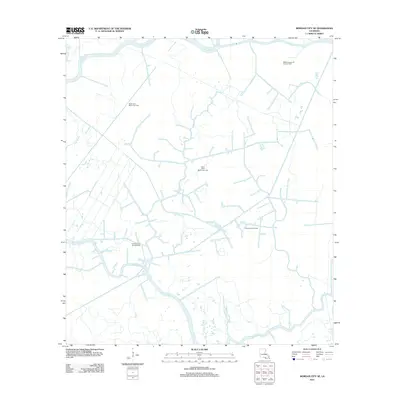 2012 Morgan City SE2012 Print · USGSCoastal Terrebonne Parish appears as a complex web of marshes and extraction sites in the early 2010s. Researchers can trace the extensive network of energy infrastructure across the Wallace Bayou Oil and Gas Field and along the banks of Bayou Penchant.
 - 2012 Map of Cypremort Point, 2012 Print
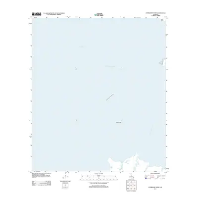 2012 Cypremort Point2012 Print · USGSThe Iberia Parish coastline comes into focus during the early 2010s, showing a landscape defined by both maritime transit and energy extraction. Researchers can trace the path of the Acadiana Navigation Channel and locate the Vermilion Bay Oil and Gas Field and Terrapin Reef.
 - 2012 Map of Centerville, 2012 Print
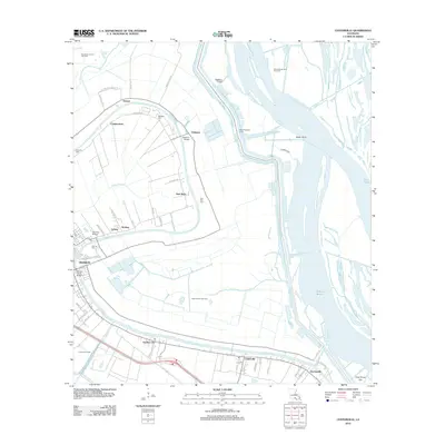 2012 Centerville2012 Print · USGSSt. Mary Parish at the start of the 2010s reveals a landscape where historic bayou settlements meet modern energy production. Genealogists and historians can trace the communities of Franklin and Verdunville or locate family sites like Oaklawn Cem and Stirling Cem.
 - 2012 Map of Kemper, 2012 Print
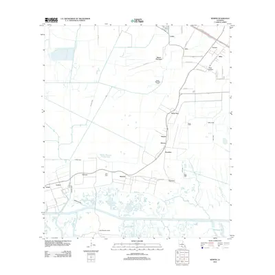 2012 Kemper2012 Print · USGSCoastal Louisiana at the start of the twenty-first century reveals a landscape shaped by water and tradition. You can trace the historic layout of Kilgore Plantation, locate Saint Helens Cem, and follow the canals connecting Home Place to Glencoe.
 - 2012 Map of Lake Point, 2012 Print
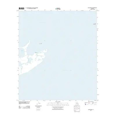 2012 Lake Point2012 Print · USGSCoastal Iberia Parish is shown at a time of significant industrial activity within its marshy inlets and expansive bays. Researchers can trace the footprint of the energy sector through the Lake Sand Gas Field and landmarks like Lake Point and E Pass.
 - 2012 Map of Morgan City, 2012 Print
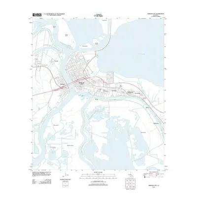 2012 Morgan City2012 Print · USGSMorgan City and Berwick sit at the heart of the Atchafalaya delta, where deep water and industrial growth define the landscape. Genealogists and historians can trace the development of Siracusaville and Fairville or locate family sites at Morgan City Cem.
 - 2012 Map of Centerville NW, 2012 Print
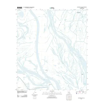 2012 Centerville NW2012 Print · USGSIberia Parish enters the second decade of the millennium as a landscape of energy extraction and winding waterways. Researchers can trace the industrial footprint of the Myette Point Oil and Gas Field and the flow of the Keelboat Pass.
 - 2012 Map of Charenton, 2012 Print
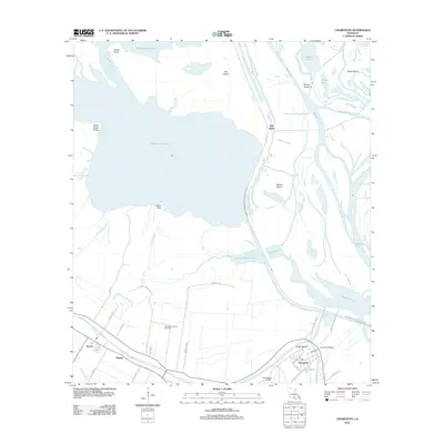 2012 Charenton2012 Print · USGSSt. Mary Parish at the edge of the Atchafalaya Basin shows a landscape shaped by water and sugarcane history in the early 21st century. Trace local family roots along Bayou Teche near Charenton or explore the waterways of Bird Island Chute.
 - 2012 Map of Napoleonville SW, 2012 Print
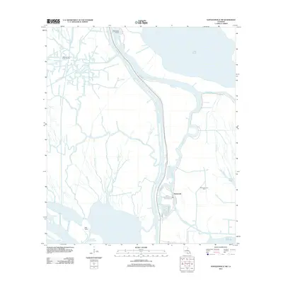 2012 Napoleonville SW2012 Print · USGSCoastal Louisiana in the early twenty-first century reveals a landscape where industry and wetlands converge around Stephenville. Researchers can trace local history along Tom Morgan Rd and locate landmarks such as Graveyard Island or the Stephensville Gas Field.
 - 2012 Map of Belle Isle, 2012 Print
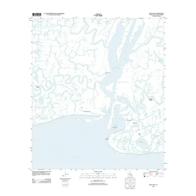 2012 Belle Isle2012 Print · USGSCoastal St. Mary Parish is mapped here in the early twenty-first century, showing the intersection of industrial energy extraction and delta marshlands. Researchers can locate the Belle Isle Gas and Oil Field, the isolated settlement of Fivemile Oaks, and numerous coastal landmarks like Negro Hammock.
 - 2012 Map of Plumb Bayou, 2012 Print
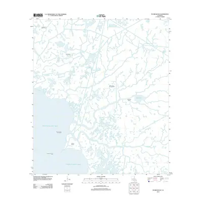 2012 Plumb Bayou2012 Print · USGSCoastal Louisiana at the turn of the decade reveals a landscape defined by deltaic marshland and industrial energy extraction. Researchers can trace the intersection of water and industry through the West Deer Island Oil Field and the Halters Island Point Light.
 - 2012 Map of Point au Fer NE, 2012 Print
 2012 Point au Fer NE2012 Print · USGSCoastal Terrebonne Parish appears as a complex web of silt and sea in the years following the turn of the millennium. Trace the shifting landforms of Shell Island, Plumb Island, and the vital passage at Deer Island Pass.
 - 2012 Map of Point au Fer, 2012 Print
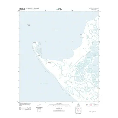 2012 Point au Fer2012 Print · USGSThe Louisiana coastline meets the Gulf at the start of the second decade of the millennium. Trace the industrial footprint of the Point Au Fer Oil Field and the geographic character of local landmarks like Two Oaks and Little Hammock.
 - 2012 Map of Point Chevreuil, 2012 Print
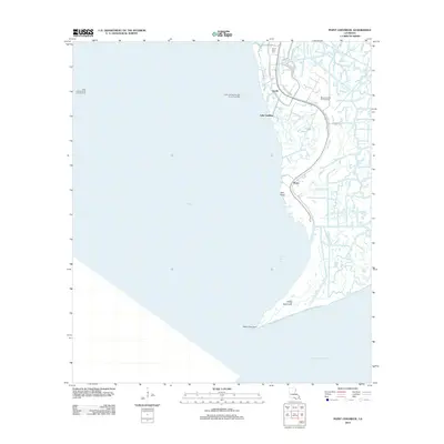 2012 Point Chevreuil2012 Print · USGSCoastal St. Mary Parish is shown here in the early 2010s, defined by its intricate network of bayous and petroleum infrastructure. Genealogists and local historians can trace the roads around Burns and Gordy or locate the South Bend Cem near Oyster Bayou.
Showing maps 1-25 of 86
Top cities of St. Mary Parish
- Morgan City historical maps
- Franklin historical maps
- Patterson historical maps
- Berwick historical maps
- Bayou Vista historical maps
- Baldwin historical maps
See more
Frequently asked questions
- What are the different types of historical maps available for St. Mary Parish?
- What is the oldest map of St. Mary Parish?
- Where can I purchase historical maps of St. Mary Parish for my home or office?
- Where can I download high-res historical maps of St. Mary Parish?
- Are there historical topographic maps available for St. Mary Parish?
- Is there historical aerial imagery available for St. Mary Parish?
- Where are historical maps of St. Mary Parish sourced from?