2000s (21st Century) Maps of Vernon Parish, Louisiana
Explore 165 historic maps of Vernon Parish from the 2000s (21st Century). These maps offer a rare glimpse into what life looked like during the 2000s — showing old roads, neighborhoods, homes, and landmarks that have changed or disappeared over time.
Whether you're researching your family's past, planning a metal detecting trip, or studying how Vernon Parish's landscape evolved across the 2000s, these high-resolution maps are a powerful tool for exploring the history of this region.
- Focus on a specific era: All maps on this page are from the 2000s, giving you a focused view of this time period.
- See what’s changed: Compare century-old streets, trails, and buildings to today's modern landscape using overlays and satellite layers.
- Research with precision: Use these maps for genealogy, historical research, land use analysis, or educational projects.
- View, download, or print: Maps are fully viewable online in high resolution, and can be downloaded or printed for your own records.
Start exploring Vernon Parish's history through authentic maps from the 2000s. This is your window into the past.
Vernon Parish, LA maps
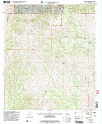
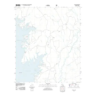
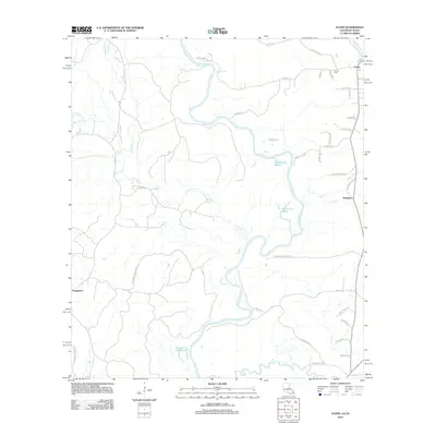
(165)- 2003 Map of Haddens, 2004 Print
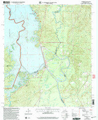 2003 Haddens2004 Print · USGSThe Louisiana-Texas borderlands are captured here in the early 2000s, centered on the engineering of the Toledo Bend Reservoir. Genealogists and local historians can locate the Scott Cem, Mt Olive Ch, and the small settlement at Haddens.
 - 2003 Map of Afeman, 2005 Print
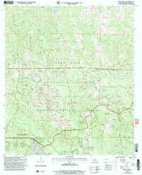
 2003 Afeman2005 Print · USGSRapides and Vernon Parishes come together in the early 2000s in this detailed look at the forest lands near the Calcasieu River. Researchers can trace local lineages through several landmarks, including Lone Star Cemeteries, Doyle Cem, and the rural community of Afeman.
 - 2003 Map of Sieper, 2005 Print
 2003 Sieper2005 Print · USGSCentral Louisiana timberlands and the Calcasieu River valley appear in detail at the turn of the millennium. Researchers can locate family roots at Hardshell Cem, visit rural communities like Sieper, or trace old crossings at Price Crossing.
 - 2003 Map of Birds Creek, 2005 Print
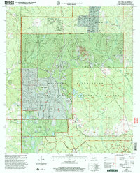
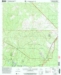
 2003 Birds Creek2005 Print · USGSVernon Parish at the start of the 21st century reveals the heavy integration of military and forest lands. Genealogists can locate rural burials at Mill Creek Cem or Watson Cem, while hunters and historians can trace the bounds of the Ft Polk Wildlife Management Area Wildlife and Fisheries Headquarters.
 - 2003 Map of Simpson North, 2005 Print
 2003 Simpson North2005 Print · USGSNorth of Simpson at the turn of the millennium, this area of Vernon Parish shows a landscape of timber and winding creeks. Genealogists can locate family sites such as Robinson Cem and Welcome Cem or the settlements of Hutton and Simpson.
 - 2003 Map of Jericho, 2005 Print
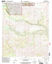
 2003 Jericho2005 Print · USGSRapides and Vernon Parishes are shown in the early 2000s as a landscape of managed timberlands and forest settlements. Researchers can locate the Noel Cem and Pisgah Ch near the quiet communities of Jericho and Clifton.
 - 2003 Map of Pitkin, 2005 Print
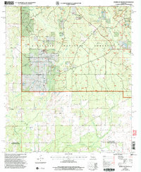
 2003 Pitkin2005 Print · USGSThe northern edge of the Louisiana piney woods comes alive in this study of the Vernon Parish countryside. Researchers can trace the rural communities of Pitkin, Fullerton, and Dido alongside local landmarks like Crowder Cem and Mount Olive Ch.
 - 2003 Map of Fort Polk, 2005 Print
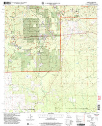
 2003 Fort Polk2005 Print · USGSLouisiana's Vernon Parish is seen here as a landscape of military training and forest management at the turn of the millennium. Researchers can locate family landmarks like Smart Cem and Zion Hill Ch alongside the airfield and Strip Mine.
 - 2003 Map of Kurthwood, 2005 Print
 2003 Kurthwood2005 Print · USGSThe Kisatchie National Forest and Fort Polk converge in this early 2000s view of Vernon Parish. Genealogists and historians can trace local landmarks like Fisherville, Kurthwood Ch, and the Kurthwood Fire Tower.
 - 2003 Map of Temple, 2005 Print
 2003 Temple2005 Print · USGSVernon and Rapides Parishes are shown at the turn of the millennium as a landscape defined by timberlands and quiet communities. Genealogists can locate family landmarks like Schom Brook Cem, Burnstown, and Pine Grove Ch among the winding bayous.
 - 2003 Map of Hurricane Branch, 2005 Print
 2003 Hurricane Branch2005 Print · USGSVernon Parish at the turn of the millennium shows a landscape defined by the vast pine reaches of the Kisatchie National Forest. Local history researchers can trace family landmarks like Johnson Cem, Providence Ch, and the small settlement of Johnsonville.
 - 2003 Map of Fullerton Lake, 2005 Print
 2003 Fullerton Lake2005 Print · USGSVernon Parish at the turn of the millennium shows the intersection of federal timberlands and military training grounds. Researchers can trace local heritage at Fullerton Cem, Oak Grove Ch, and the waters of Fullerton Lake.
 - 2004 Map of Sugrue, 2005 Print
 2004 Sugrue2005 Print · USGSThe Vernon Parish pinewoods and creek bottoms are documented here at the turn of the twenty-first century. Researchers can locate remote rural landmarks including Cravens, the Wisby Memorial Cem, and the Lone Star Ch near Horse Branch.
 - 2010 Map of Wiergate SE, 2010 Print
 2010 Wiergate SE2010 Print · USGSCovers Vernon Parish, including Newton County, United States, and other nearby areas
 - 2010 Map of Merryville North, 2010 Print
 2010 Merryville North2010 Print · USGSCovers Vernon Parish, including Merryville, Junction, and other nearby areas
 - 2010 Map of Evans, 2010 Print
 2010 Evans2010 Print · USGSCovers Vernon Parish, including Evans, Almadane, and other nearby areas
 - 2010 Map of Toro, 2010 Print
 2010 Toro2010 Print · USGSCovers Vernon Parish, including Clare, Rattan, and other nearby areas
 - 2010 Map of Haddens, 2010 Print
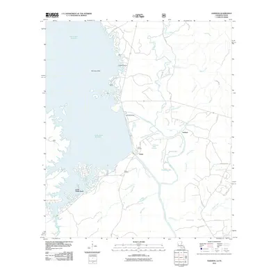 2010 Haddens2010 Print · USGSCovers Vernon Parish, including Haddens, South Toledo Bend, and other nearby areas
 - 2012 Map of Pitkin, 2012 Print
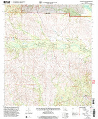
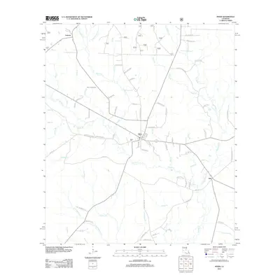 2012 Pitkin2012 Print · USGSCovers Vernon Parish, including Fullerton, Pitkin, and other nearby areas
 - 2012 Map of Steep Gully, 2012 Print
 2012 Steep Gully2012 Print · USGSCovers Vernon Parish, including Elizabeth, Westport, and other nearby areas
 - 2012 Map of Evans, 2012 Print
 2012 Evans2012 Print · USGSCovers Vernon Parish, including Evans, Almadane, and other nearby areas
 - 2012 Map of Rosepine, 2012 Print
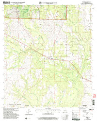
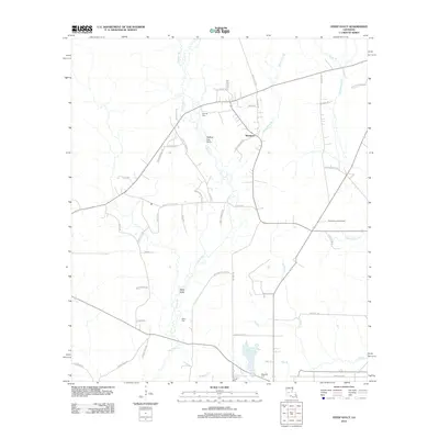
 2012 Rosepine2012 Print · USGSCovers Vernon Parish, including Rosepine, Neame, and other nearby areas
 - 2012 Map of Hurricane Branch, 2012 Print
 2012 Hurricane Branch2012 Print · USGSCovers Vernon Parish, including Beauregard Parish, United States, and other nearby areas
 - 2012 Map of Sugrue, 2012 Print
 2012 Sugrue2012 Print · USGSCovers Vernon Parish, including Cole Central, Sugrue, and other nearby areas
 - 2012 Map of Merryville North, 2012 Print
 2012 Merryville North2012 Print · USGSCovers Vernon Parish, including Merryville, Junction, and other nearby areas
Showing maps 1-25 of 165
Top cities of Vernon Parish
- Leesville historical maps
- New Llano historical maps
- Rosepine historical maps
- Anacoco historical maps
- Simpson historical maps
- Hornbeck historical maps
Frequently asked questions
- What are the different types of historical maps available for Vernon Parish?
- What is the oldest map of Vernon Parish?
- Where can I purchase historical maps of Vernon Parish for my home or office?
- Where can I download high-res historical maps of Vernon Parish?
- Are there historical topographic maps available for Vernon Parish?
- Is there historical aerial imagery available for Vernon Parish?
- Where are historical maps of Vernon Parish sourced from?