2010s Maps of Vernon Parish, Louisiana
Explore 93 historic maps of Vernon Parish from the 2010s. These maps offer a rare glimpse into what life looked like during the 2010s — showing old roads, neighborhoods, homes, and landmarks that have changed or disappeared over time.
Whether you're researching your family's past, planning a metal detecting trip, or studying how Vernon Parish's landscape evolved across the 2010s, these high-resolution maps are a powerful tool for exploring the history of this region.
- Focus on a specific era: All maps on this page are from the 2010s, giving you a focused view of this time period.
- See what’s changed: Compare century-old streets, trails, and buildings to today's modern landscape using overlays and satellite layers.
- Research with precision: Use these maps for genealogy, historical research, land use analysis, or educational projects.
- View, download, or print: Maps are fully viewable online in high resolution, and can be downloaded or printed for your own records.
Start exploring Vernon Parish's history through authentic maps from the 2010s. This is your window into the past.
Vernon Parish, LA maps
(93)- 2010 Map of Wiergate SE, 2010 Print
 2010 Wiergate SE2010 Print · USGSThe Sabine River bottomlands at the turn of the twenty-first century reveal a complex landscape of oxbow lakes and historical river crossings. Genealogists and local historians can trace the area around Burr Cemetery or locate the old ferry sites at Burrs Ferry Bridge and Jarrels Ferry Lake.
 - 2010 Map of Merryville North, 2010 Print
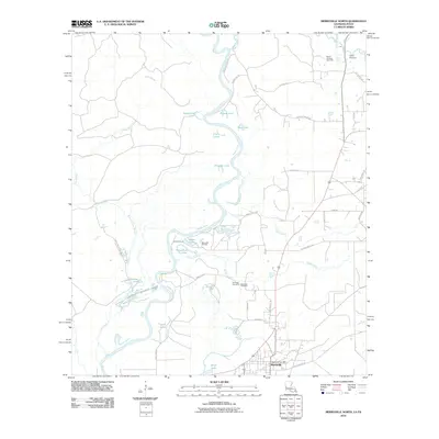 2010 Merryville North2010 Print · USGSMerryville and the winding Sabine River valley are captured here at the start of the 2010s. Researchers can locate local landmarks like the Hennigan Cemetery, the Merryville Post Office, and the Bayou Anacoco Gas Field.
 - 2010 Map of Evans, 2010 Print
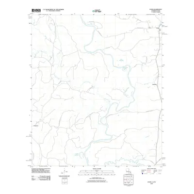 2010 Evans2010 Print · USGSThe Louisiana-Texas borderlands come to life along the winding Sabine River in the early twenty-first century. Genealogists and local historians can trace the rural communities of Evans, Almadane, and Stringtown, or locate the Evans Cemetery.
 - 2010 Map of Toro, 2010 Print
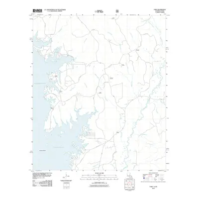 2010 Toro2010 Print · USGSSabine Parish life centers on the massive Toledo Bend Reservoir and its irregular shoreline in this 2010 survey. Researchers can locate local landmarks like Victoria Cemetery, the Rattan Gas Field, and early landings at Clare.
 - 2010 Map of Haddens, 2010 Print
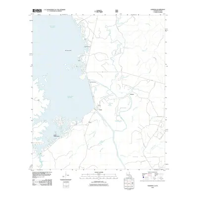 2010 Haddens2010 Print · USGSThe Louisiana-Texas borderlands are defined by the vast waters of the Toledo Bend Reservoir and the engineering of the Toledo Bend Dam in this 2010 survey. Researchers can trace local history through the Toledo Cemetery and the Scott Cemetery or explore the wetlands around Packer Swamp.
 - 2012 Map of Pitkin, 2012 Print
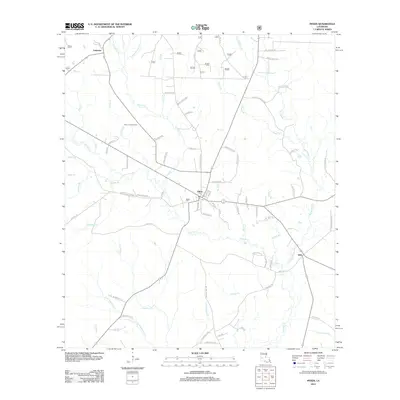 2012 Pitkin2012 Print · USGSThe piney woods of Vernon Parish are shown here in the early twenty-first century, centered on the community of Pitkin. Genealogists and local historians can trace family-named routes and find landmarks like Mathis Cem, the Pitkin Lookout Tower, and Dido.
 - 2012 Map of Steep Gully, 2012 Print
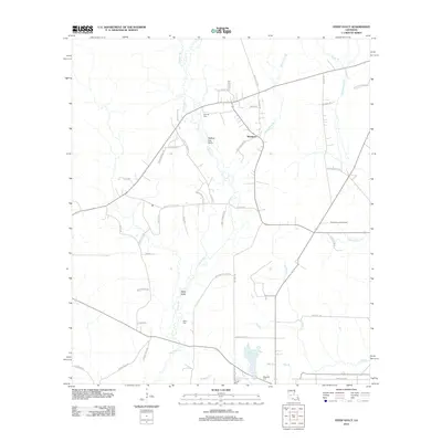 2012 Steep Gully2012 Print · USGSIn the rural reaches of Allen Parish during the early 21st century, the landscape is defined by the winding waters of Tenmile Cr and the settlement of Westport. Researchers can trace local lineage through the Tenmile Cem and West Cem, or locate the Plainview Lookout Tower near Cow Bayou.
 - 2012 Map of Evans, 2012 Print
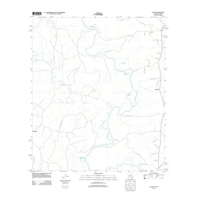 2012 Evans2012 Print · USGSThe Louisiana-Texas borderlands along the Sabine River are documented here in detail during the early 2010s. Local researchers can trace the oxbows of Evans Old River and find family landmarks like Evans Cem and the settlement of Almadane.
 - 2012 Map of Rosepine, 2012 Print
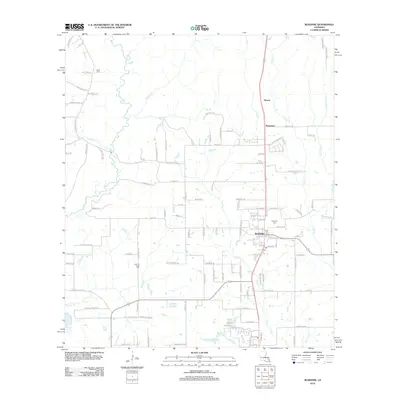 2012 Rosepine2012 Print · USGSVernon Parish at the start of the 2010s shows a landscape defined by small timber-country settlements and winding creek bottoms. Genealogists can trace family connections at Rosepine Cem, Cypress Creek Cem, and Miller Cem near Bayou Anacoco.
 - 2012 Map of Hurricane Branch, 2012 Print
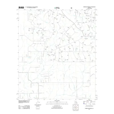 2012 Hurricane Branch2012 Print · USGSVernon Parish at the start of the decade reveals a landscape of winding creek bottoms and rural loop roads. Genealogists and local historians can locate Johnson Cem and trace family-named routes like Ida Bailey Rd near the Longleaf Scenic Area.
 - 2012 Map of Sugrue, 2012 Print
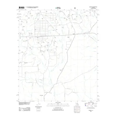 2012 Sugrue2012 Print · USGSVernon Parish at the start of the 2010s reveals a landscape of family-centered rural communities and winding creek branches. Genealogists can trace family footprints through sites like Marlow Cem and roads such as Barney Stracener Rd and Victor Martin Rd.
 - 2012 Map of Merryville North, 2012 Print
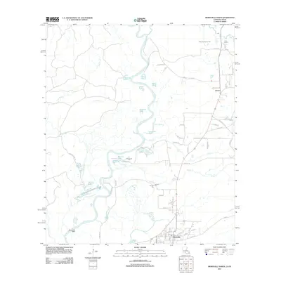 2012 Merryville North2012 Print · USGSThe Sabine River bottomlands north of Merryville come to life in this survey of the Louisiana-Texas borderlands during the early 21st century. Researchers can trace family-named roads and landmarks like Hennigan Cem, the Merryville Oil Field, and Camp Anacoco.
 - 2012 Map of Neale, 2012 Print
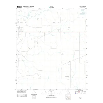 2012 Neale2012 Print · USGSCoastal Louisiana at the start of the century reveals a landscape shaped by petroleum extraction and wandering creeks. Genealogists and historians can trace family-named routes like Bob Carsey Rd and Addie T Nations Rd or locate the Cooper Cem.
 - 2012 Map of Knight, 2012 Print
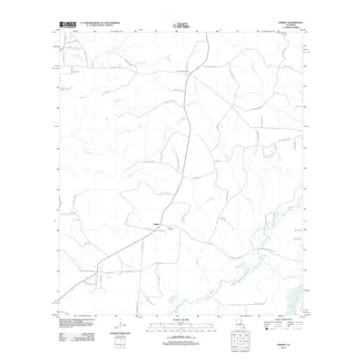 2012 Knight2012 Print · USGSVernon Parish at the start of the 2010s reveals a quiet landscape of rural settlements and winding bayous. Researchers can trace family history through locations like Hinson Cem or explore landmarks such as the Evans Lookout Tower and Bayou Anacoco.
 - 2012 Map of Burr Ferry, 2012 Print
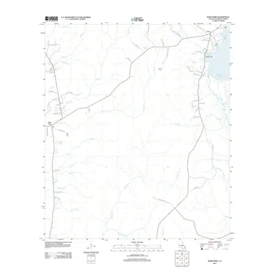 2012 Burr Ferry2012 Print · USGSVernon Parish at the turn of the century shows a landscape defined by Bayou Anacoco and rural timberlands. Genealogists and historians can trace family locations near Burr Ferry, Caney, and family burial sites like Stevens Cem.
 - 2012 Map of Slagle, 2012 Print
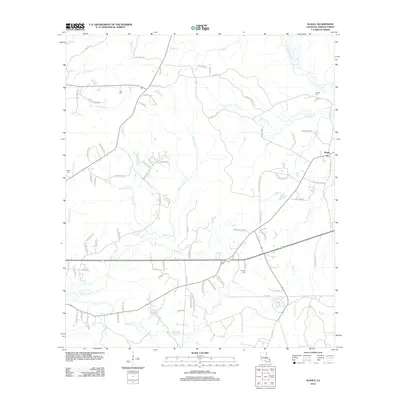 2012 Slagle2012 Print · USGSThe community of Slagle and its rural surrounds are captured here in the early twenty-first century as the local landscape merges with military territory. Researchers can trace family history through several burial sites like Antioch Cem and Franklin Cem near Bayou Castor.
 - 2012 Map of Afeman, 2012 Print
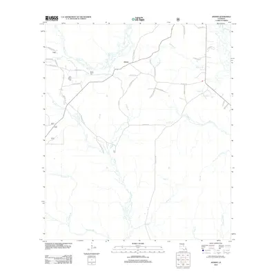 2012 Afeman2012 Print · USGSRapides Parish in the early 2000s remains a landscape of dense pine forests and winding creek beds. Genealogists can trace family heritage through local landmarks like Mount Moriah Cem, Doyle Cem, and family-named routes such as Bud Bounds Rd.
 - 2012 Map of Leesville, 2012 Print
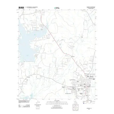 2012 Leesville2012 Print · USGSLeesville and the surrounding Louisiana piney woods appear in the early 21st century as a landscape of large reservoirs and growing subdivisions. Trace local family history and infrastructure through Leesville Cemetery, Thaxtons Landing, and the Leesville Lookout Tower.
 - 2012 Map of Simpson South, 2012 Print
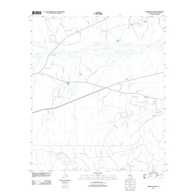 2012 Simpson South2012 Print · USGSVernon Parish at the start of the 2010s shows a landscape of rural crossroads and river bottomlands. Genealogists can trace family names through landmarks like Glass Window Cem, the settlement at Walnut Hill, and the northern perimeter of Fort Polk.
 - 2012 Map of Simpson North, 2012 Print
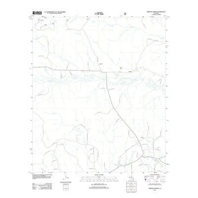 2012 Simpson North2012 Print · USGSNorth of Simpson during the early twenty-first century, this Vernon Parish landscape remains defined by its creek-bottoms and family cemeteries. Genealogists can trace local heritage at Welcome Cem or follow the waters of Comrade Cr and Little Bayou Pierre.
 - 2012 Map of Dowden Creek, 2012 Print
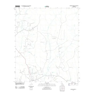 2012 Dowden Creek2012 Print · USGSAnacoco and the surrounding Vernon Parish creek bottoms are shown here during the early twenty-first century. Genealogists and local historians can trace family locations along Oak Grove Church Rd, locate the McInnis Cem, or map the Peason Ridge Oil Field.
 - 2012 Map of Jericho, 2012 Print
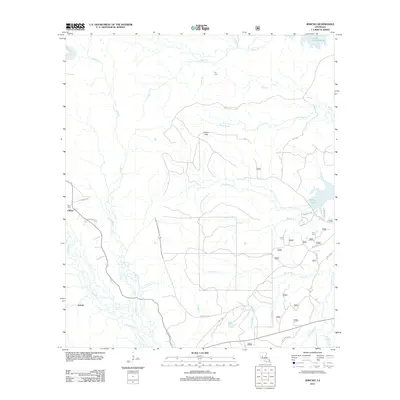 2012 Jericho2012 Print · USGSCentral Louisiana timberlands and creek valleys are documented here during the early twenty-first century. Genealogists and local historians can trace family locations near Clifton, Ball Cem, and the waters of Cotile Lake.
 - 2012 Map of Fullerton Lake, 2012 Print
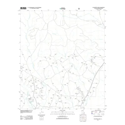 2012 Fullerton Lake2012 Print · USGSVernon Parish at the start of the 2010s reflects a landscape shaped by its industrial timber past and contemporary recreational use. Researchers can trace the footprint of Fullerton Mill and locate local family sites like Smith Cem and Semon Cem near Fullerton Lake.
 - 2012 Map of Kurthwood, 2012 Print
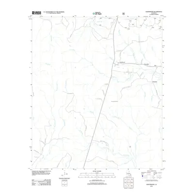 2012 Kurthwood2012 Print · USGSKurthwood and the surrounding central Louisiana timber settlements are captured here in the early 21st century. Researchers can trace local heritage through the placement of West Cem and the surviving roads of Fisherville, Alco, and Dusenbury.
 - 2012 Map of Temple, 2012 Print
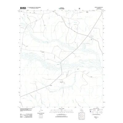 2012 Temple2012 Print · USGSVernon Parish at the start of the decade reveals a landscape of small timber-country settlements and family-named landmarks. Genealogists can trace the locations of Comrade Cem, Burnstown, and Zimmerman Camp among the many bayous and creeks that define the region.
Showing maps 1-25 of 93
Top cities of Vernon Parish
- Leesville historical maps
- New Llano historical maps
- Rosepine historical maps
- Anacoco historical maps
- Simpson historical maps
- Hornbeck historical maps
Frequently asked questions
- What are the different types of historical maps available for Vernon Parish?
- What is the oldest map of Vernon Parish?
- Where can I purchase historical maps of Vernon Parish for my home or office?
- Where can I download high-res historical maps of Vernon Parish?
- Are there historical topographic maps available for Vernon Parish?
- Is there historical aerial imagery available for Vernon Parish?
- Where are historical maps of Vernon Parish sourced from?