2000s (21st Century) Maps of Saint Mary's County, Maryland
Explore 114 historic maps of Saint Mary's County from the 2000s (21st Century). These maps offer a rare glimpse into what life looked like during the 2000s — showing old roads, neighborhoods, homes, and landmarks that have changed or disappeared over time.
Whether you're researching your family's past, planning a metal detecting trip, or studying how Saint Mary's County's landscape evolved across the 2000s, these high-resolution maps are a powerful tool for exploring the history of this region.
- Focus on a specific era: All maps on this page are from the 2000s, giving you a focused view of this time period.
- See what’s changed: Compare century-old streets, trails, and buildings to today's modern landscape using overlays and satellite layers.
- Research with precision: Use these maps for genealogy, historical research, land use analysis, or educational projects.
- View, download, or print: Maps are fully viewable online in high resolution, and can be downloaded or printed for your own records.
Start exploring Saint Mary's County's history through authentic maps from the 2000s. This is your window into the past.
Saint Mary's County, MD maps
(114)- 2011 Map of Heathsville, 2011 Print
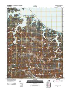 2011 Heathsville2011 Print · USGSHeathsville and the surrounding Northern Neck are captured here in the early twenty-first century, showing a landscape defined by tidal creeks and historic mill sites. Researchers can trace local heritage through landmarks like Bush Mill, Sydnors Millpond, and maritime hubs such as Forrest Landing.
 - 2011 Map of Broomes Island, 2011 Print
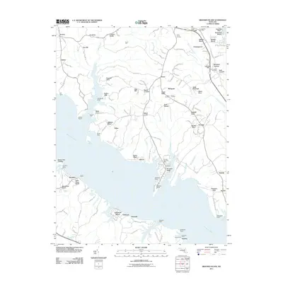 2011 Broomes Island2011 Print · USGSCalvert County's peninsula life is captured here in the early twenty-first century, where the Patuxent River meets deep tidal inlets. Genealogists and historians can locate landing points like Williams Wharf and old burial grounds such as Christ Church Cemetery and Waters Cemetery.
 - 2011 Map of Leonardtown, 2011 Print
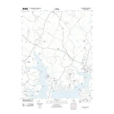 2011 Leonardtown2011 Print · USGSCoastal Maryland at the start of the 2010s reveals a landscape of tidal creeks and long-standing rural settlements. Researchers can trace family history through sites like Saint Francis Xavier Cemetery or explore old waterfront landmarks at Cobrums Wharf and Barton Hall.
 - 2011 Map of Stratford Hall, 2011 Print
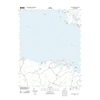 2011 Stratford Hall2011 Print · USGSThe Potomac River shoreline in Westmoreland County comes into focus in this modern survey of coastal Virginia. Genealogists and historians can trace family-named sites like Stratford Hall, Bettys Neck, and Shiloh Cemetery alongside historic river landings.
 - 2011 Map of Rock Point, 2011 Print
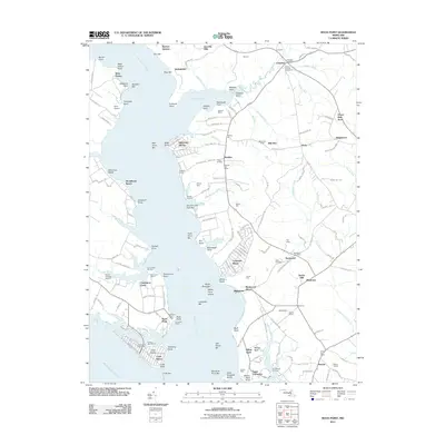 2011 Rock Point2011 Print · USGSCoastal Maryland at the start of the twenty-first century reveals a landscape where historic manors meet modern riverside retreats. Trace the roots of the Wicomico shoreline through Bachelors Hope, Christ Church Cemetery, and the waterfront at Cobb Island.
 - 2011 Map of Saint Marys City, 2011 Print
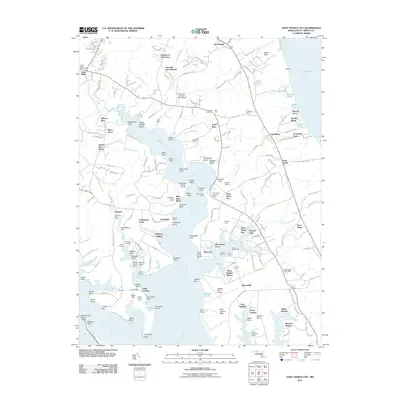 2011 Saint Marys City2011 Print · USGSThe historic Potomac and Chesapeake shorelines of Saint Mary's County come to life in this detailed 2011 survey. Researchers can locate colonial-era landmarks like Snow Hill Manor, trace the waters of Saint Inigoes Creek, and find legacy sites at Great Mills.
 - 2011 Map of Benedict, 2011 Print
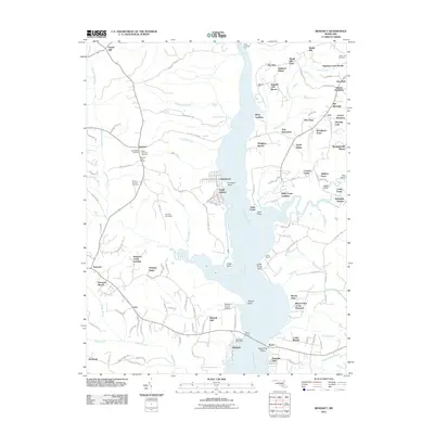 2011 Benedict2011 Print · USGSThe Patuxent River shoreline in the early 2010s reveals a network of historic landings and family-named points between Prince George's and Calvert counties. Genealogists can locate family burial sites at Saint Dominics Cemetery and explore old river outposts like Eagle Harbor or Benedict.
 - 2011 Map of Hughesville, 2011 Print
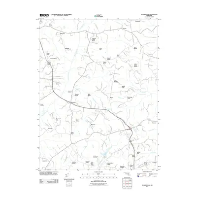 2011 Hughesville2011 Print · USGSMaryland's southern interior reveals a landscape of established towns and growing neighborhoods in the early twenty-first century. Researchers can trace local heritage through Saint Marys Cemetery, the Bryantown Post Office, and the rugged territory of Devils Nest.
 - 2011 Map of Charlotte Hall, 2011 Print
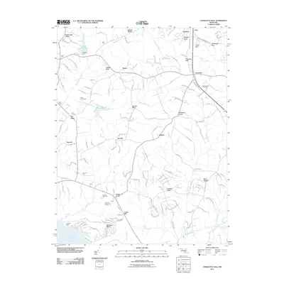 2011 Charlotte Hall2011 Print · USGSSouthern Maryland in the early 2010s shows a mix of historic settlement and modern recreation. Researchers can trace local genealogy through sites like John Wesley Cemetery or locate landmarks like the Maryland International Raceway and Charlotte Hall.
 - 2011 Map of Mechanicsville, 2011 Print
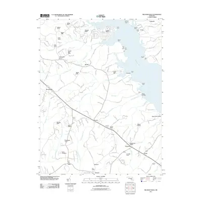 2011 Mechanicsville2011 Print · USGSSaint Mary's County sits at a crossroads of suburban growth and maritime heritage along the Patuxent River in the early twenty-first century. Local historians can trace family-named sites and landmarks like All Faith Cemetery, Trent Hall Wharf, and the Morganza Post Office.
 - 2011 Map of Solomons Island, 2011 Print
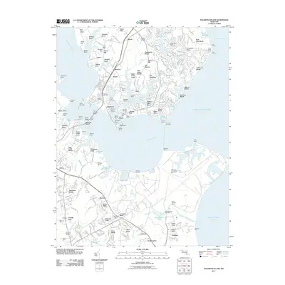 2011 Solomons Island2011 Print · USGSThe Calvert County peninsula and Patuxent River shoreline are captured here just after the turn of the twenty-first century. Genealogists and historians can trace the heritage of Solomons through its local landmarks, including Drum Point Lighthouse and Solomons Cemetery.
 - 2011 Map of Hollywood, 2011 Print
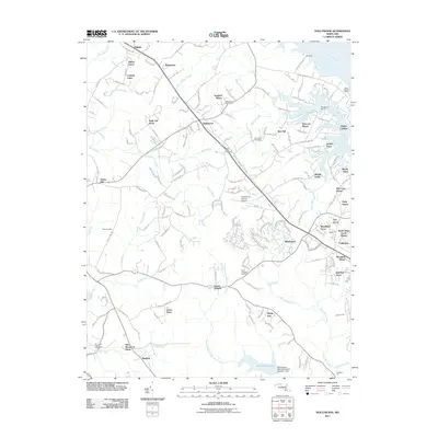 2011 Hollywood2011 Print · USGSSaint Marys County, Maryland, is captured here in the early 21st century as coastal residential growth expands around Hollywood and California. Researchers can trace local heritage through several notable sites, including Joy Chapel, Saint Johns Church, and Saint Andrews Cemetery.
 - 2011 Map of Kinsale, 2011 Print
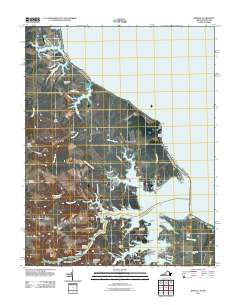 2011 Kinsale2011 Print · USGSThe Northern Neck of Virginia is shown in the early twenty-first century as a landscape of interconnected tidal creeks and historic landings. Researchers can trace family roots at Carmel Cemetery or locate old maritime hubs like Kinsale and Hudsons Landing.
 - 2011 Map of Piney Point, 2011 Print
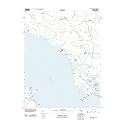 2011 Piney Point2011 Print · USGSThe Potomac River shoreline and its historic landings are meticulously detailed in this early twenty-first-century survey of Saint Marys County. Researchers can locate family landmarks and community centers like the Piney Point Lighthouse, Mulberry Fields, and the Saint Georges Cemetery.
 - 2011 Map of Point Lookout, 2011 Print
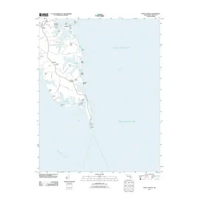 2011 Point Lookout2011 Print · USGSThe southern tip of Maryland’s western shore comes into focus in this early 21st-century study of the Potomac-Chesapeake confluence. Genealogists and historians can trace coastal heritage from the Point Lookout Confederate Cemetery up to the local hubs at Ridge Post Office and Scotland.
 - 2011 Map of Burgess, 2011 Print
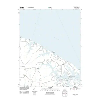 2011 Burgess2011 Print · USGSThe Northern Neck comes into focus in the early 21st century as a landscape of tidal creeks and established crossroads. Researchers can locate the Sunnybank Ferry crossing, trace genealogy at Fairfields Cemetery, and explore settlements like Burgess and Ophelia.
 - 2011 Map of Smith Point, 2011 Print
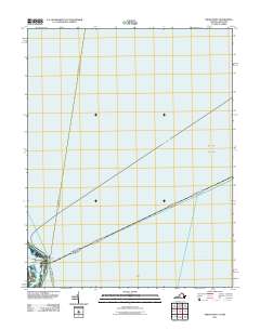 2011 Smith Point2011 Print · USGSThe confluence of the Potomac River and the Chesapeake Bay is captured in this early 21st-century nautical survey. Trace coastal landmarks like Smith Point and local routes including Tranquility Rd and the Reedville-Ewell crossing.
 - 2011 Map of Point No Point, 2011 Print
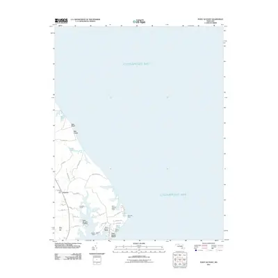 2011 Point No Point2011 Print · USGSSaint Mary's County shoreline is documented here in the early twenty-first century as it borders the Chesapeake Bay. Researchers can trace local landmarks like the Dameron Post Office, Wingfield Airport, and coastal landings at Saint Jeromes Landing.
 - 2011 Map of Saint George Island, 2011 Print
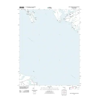 2011 Saint George Island2011 Print · USGSCoastal life in southern Saint Mary's County at the turn of the decade is defined by its deep-water access and maritime communities. Genealogists and historians can trace family locations and landmarks from Saint George Island to the runways of Chandler Airport and the historic docks at Miller Wharf.
 - 2011 Map of Barren Island, 2011 Print
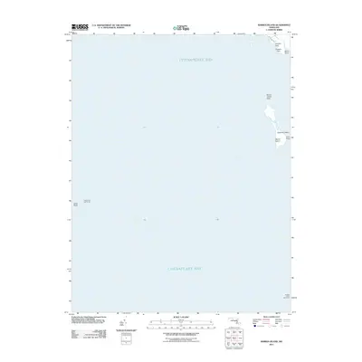 2011 Barren Island2011 Print · USGSThe mid-Chesapeake coastline in the early 21st century reveals a landscape shaped by water and maritime history. Researchers can locate significant navigational landmarks like Cedar Point Lighthouse, Barren Island, and Hooper Island Lighthouse.
 - 2011 Map of Richland Point, 2011 Print
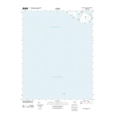 2011 Richland Point2011 Print · USGSThe Maryland coast and Chesapeake Bay islands are captured here in the early twenty-first century. Researchers can trace the fragile shoreline of Lower Hooper Island and locate local landmarks like Mens Burial Point and Fishing Point.
 - 2011 Map of Saint Clements Island, 2011 Print
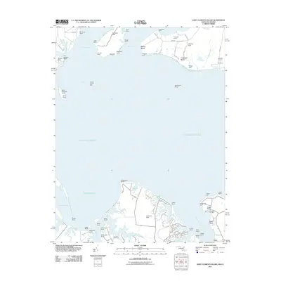 2011 Saint Clements Island2011 Print · USGSThe Potomac River tidewater comes alive in the early twenty-first century, showing the established waterfront communities of Maryland and Virginia. Local historians can trace the development of Coles Point, find the Stone Cross on Saint Clements Island, or locate small airfields like Nuns Oak Airport.
 - 2013 Map of Kinsale, 2013 Print
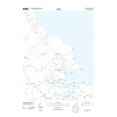 2013 Kinsale2013 Print · USGSThe Northern Neck shoreline at Kinsale and Harryhogan is captured here in the early twenty-first century. Genealogists and historians can trace family-named points and landings, from Barn Point Light to Hampton Hall Creek Landing and Tucker Hill.
 - 2013 Map of Stratford Hall, 2013 Print
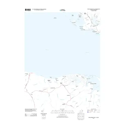 2013 Stratford Hall2013 Print · USGSThe Potomac River divides the Maryland and Virginia shorelines in this modern topographic study of the Northern Neck. Genealogists and historians can trace family estates and landing points such as Stratford Hall, Coltons Point, and Friendly Hall.
 - 2013 Map of Heathsville, 2013 Print
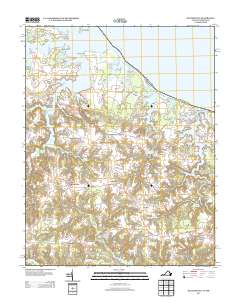 2013 Heathsville2013 Print · USGSNorthumberland County's landscape is captured here in the early twenty-first century, showing the intricate waterways of the Northern Neck. Researchers can trace historic mill sites and crossroads like Bush Mill, Sydnors Millpond, and Hamlins Corner.
Showing maps 1-25 of 114
Top cities of Saint Mary's County
- Lexington Park historical maps
- Golden Beach historical maps
- Leonardtown historical maps
- Callaway historical maps
- Mechanicsville historical maps
- Charlotte Hall historical maps
See more
Frequently asked questions
- What are the different types of historical maps available for Saint Mary's County?
- What is the oldest map of Saint Mary's County?
- Where can I purchase historical maps of Saint Mary's County for my home or office?
- Where can I download high-res historical maps of Saint Mary's County?
- Are there historical topographic maps available for Saint Mary's County?
- Is there historical aerial imagery available for Saint Mary's County?
- Where are historical maps of Saint Mary's County sourced from?