1970s Maps of Massachusetts
Explore 273 historic maps of Massachusetts from the 1970s. These maps offer a rare glimpse into what life looked like during the 1970s — showing old roads, neighborhoods, homes, and landmarks that have changed or disappeared over time.
Whether you're researching your family's past, planning a metal detecting trip, or studying how Massachusetts's landscape evolved across the 1970s, these high-resolution maps are a powerful tool for exploring the history of this region.
- Focus on a specific era: All maps on this page are from the 1970s, giving you a focused view of this time period.
- See what’s changed: Compare century-old streets, trails, and buildings to today's modern landscape using overlays and satellite layers.
- Research with precision: Use these maps for genealogy, historical research, land use analysis, or educational projects.
- View, download, or print: Maps are fully viewable online in high resolution, and can be downloaded or printed for your own records.
Start exploring Massachusetts's history through authentic maps from the 1970s. This is your window into the past.
Massachusetts maps
(273)- 1970 Map of Marblehead South, 1972 Print
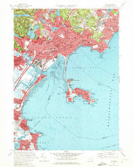
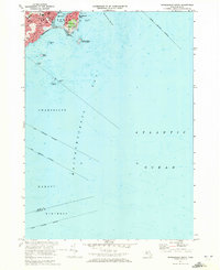 1970 Marblehead South1972 Print · USGSThe North Shore coastline comes into focus in the 1970s, showcasing the maritime heritage and residential growth of Marblehead and Devereux. Researchers can trace the town's layout through sites like Alley Hospital, Seaside Park, and the Bell Sch.2 unique versions available
 - 1970 Map of Natick, 1972 Print
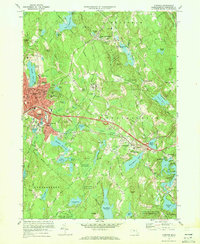
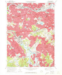
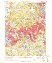 1970 Natick1972 Print · USGSSuburban Boston expands through Middlesex and Norfolk counties in the 1970s, showcasing a landscape of elite universities and crucial water infrastructure. Researchers can trace the Cochituate Aqueduct and locate landmarks like Wellesley College or the Natick Laboratories (U S Army).2 unique versions available
 - 1970 Map of Marblehead North, 1972 Print
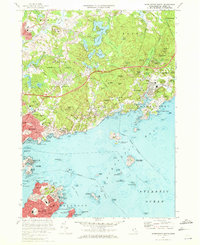 1970 Marblehead North1972 Print · USGSThe North Shore coast and the towns of Marblehead and Beverly are captured here during the early 1970s. Researchers can locate family landmarks such as Central Cemetery, historic sites like Abbot Hall, and the layout of the Boston and Maine railroad.2 unique versions available
 - 1970 Map of Athol, 1972 Print
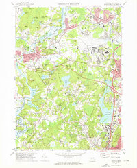
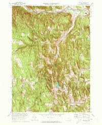
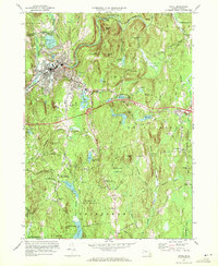 1970 Athol1972 Print · USGSAthol and Phillipston are shown during a period of steady growth along the Millers River in the early 1970s. Researchers can locate family sites and landmarks like Silver Lake Cem, Burrage Corner, and the Harvard Forest Administration Building.2 unique versions available
 - 1970 Map of Templeton, 1972 Print
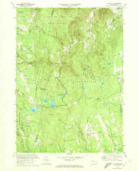
 1970 Templeton1972 Print · USGSTempleton and Baldwinville are shown in the early seventies during a period of steady growth and forest preservation. Genealogists and local historians can locate several family cemeteries such as Pine Grove Cem and Greenlawn Cem, or trace the rail lines through Depot Pond.3 unique versions available
 - 1970 Map of Concord, 1972 Print
 1970 Concord1972 Print · USGSThe revolutionary and literary landscapes of Middlesex County are captured here in the decades following the war. Genealogists and historians can trace family plots in the Old Burying Ground or locate landmarks like Meryams Corner and the Davis Sch.3 unique versions available
 - 1970 Map of Salem, 1972 Print
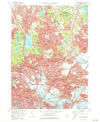
 1970 Salem1972 Print · USGSThe North Shore communities of Salem and Beverly are shown in 1970 as they balanced maritime heritage with modern suburban growth. Researchers can trace old rail lines of the Boston and Maine, find the grounds of the Danvers State Hospital, or locate family sites near Harmony Grove Cemetery and Asbury Grove.2 unique versions available
 - 1970 Map of Medfield, 1972 Print
 1970 Medfield1972 Print · USGSMedfield and Millis are shown during a period of transition in the early seventies, as suburban growth met the legacy of the area's older institutional and rail infrastructure. Researchers can trace the extensive Medfield State Hospital grounds, historic burial sites like Vine Lake Cemetery, and the Penn Central rail lines.2 unique versions available
 - 1970 Map of Lynn, 1972 Print
 1970 Lynn1972 Print · USGSThe North Shore coastline comes alive in the early seventies, detailing the dense urban neighborhoods of Lynn and the seaside character of Nahant. Genealogists and historians can trace family roots through numerous sites like Pickering Cem, St Josephs Ch, and the Boston and Maine rail lines.2 unique versions available
 - 1970 Map of Gardner, 1972 Print
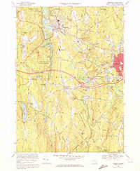
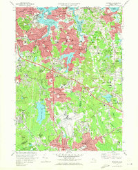
 1970 Gardner1972 Print · USGSIn the early 1970s, the industrial character of Worcester County remained anchored by the Boston and Maine Railroad. Researchers can trace the legacy of major institutions like the Gardner State Hospital and Crystal Lake Cem among the hills of Westminster and Gardner.2 unique versions available
 - 1970 Map of Norwood, 1972 Print
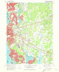
 1970 Norwood1972 Print · USGSGreater Norfolk County comes alive in the early seventies, showing a suburban landscape woven together by the Penn Central railroad and the Neponset River. Trace family roots at Old Parish Cem or locate former landmarks like the Norwood Arena and Kendall Whaling Museum.2 unique versions available
 - 1970 Map of Boston South, 1973 Print
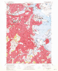 1970 Boston South1973 Print · USGSBoston and its southern neighborhoods are shown at a peak of urban development in the early seventies. Genealogists and historians can trace family roots through the dense streets of Dorchester or locate ancestral plots in Cedar Grove Cem and New Calvary Cem.2 unique versions available
 - 1970 Map of Newton, 1973 Print
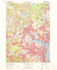
 1970 Newton1973 Print · USGSThe western suburbs of Boston reached a peak of mid-century density during this era of highway and rail expansion. Researchers can trace historic parish boundaries and burial sites like Newton Cemetery or locate landmarks like Boston College and the Arnold Arboretum.2 unique versions available
 - 1971 Map of Blue Hills, 1972 Print
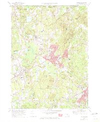
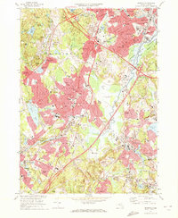
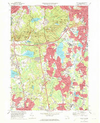 1971 Blue Hills1972 Print · USGSGreater Boston's southern suburbs and the forested Blue Hills are captured here during the early seventies' era of suburban expansion. Trace local family history at Blue Hill Cemetery or Holy Sepulchre Cem, and locate long-standing institutions like Curry College and Thayer Academy.2 unique versions available
 - 1971 Map of Hull, 1972 Print
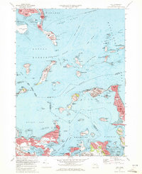 1971 Hull1972 Print · USGSThe outer Boston islands and the Nantasket peninsula are shown in detail during the early seventies, capturing a landscape of coastal defense and maritime history. Researchers can trace the footprints of Fort Warren, the iconic Boston Lighthouse, and institutional sites like the Long Island Hospital.2 unique versions available
 - 1971 Map of Boston North, 1973 Print
 1971 Boston North1973 Print · USGSThe northern reaches of the Massachusetts capital show a landscape of dense suburbs and protected woodlands in the early seventies. Researchers can locate landmark sites like the Bunker Hill Monument, trace the MBTA System rail lines, or explore the grounds of Harvard University and Holy Cross Cemetery.2 unique versions available
 - 1971 Map of Weymouth, 1973 Print
 1971 Weymouth1973 Print · USGSThe Norfolk County coastline and its industrial suburbs are captured here in the early seventies, showing a period of high military and maritime activity. Genealogists and local historians can trace the grounds of the South Weymouth Naval Air Station or locate family plots in Fairmount Cemetery and Old North Cem.2 unique versions available
 - 1971 Map of Mt Toby, 1973 Print
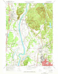 1971 Mt Toby1973 Print · USGSMassachusetts' Pioneer Valley is shown here in the early seventies, centered on the Connecticut River corridor. Genealogists and historians can trace family sites near Wildwood Cemetery, the evolving University of Massachusetts campus, and the industrial relics at Factory Hollow.2 unique versions available
 - 1971 Map of Lexington, 1973 Print
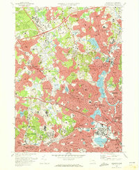 1971 Lexington1973 Print · USGSThe suburban landscape of Middlesex County is shown here in the early 1970s as historic town centers integrated with major institutional and commercial developments. Genealogists and historians can locate dozens of neighborhood schools, local churches, and expansive grounds such as Mc Lean Hospital and St Patricks Cem.2 unique versions available
 - 1971 Map of Winchendon, 1973 Print
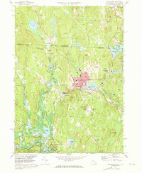 1971 Winchendon1973 Print · USGSWinchendon and the northern Massachusetts borderlands are captured here in the early 1970s as a landscape of river-driven industry and forest. Trace the rail-and-river history of Waterville, the legacy of the Boston and Maine Railroad, and the Birch Hill Dam.5 unique versions available
 - 1971 Map of Ashfield, 1973 Print
 1971 Ashfield1973 Print · USGSFranklin County's hill towns and river valleys are shown here in the early 1970s as agricultural life and modern infrastructure intersected. Researchers can trace family sites at Sanderson Academy and the Ashfield Plain Cem or follow the old Boston and Maine rail line.3 unique versions available
 - 1971 Map of Plainfield, 1973 Print
 1971 Plainfield1973 Print · USGSThe Massachusetts highlands of the early 1970s reveal a landscape of dense state forests and quiet upland hamlets. Genealogists and hikers can trace old family burial grounds like Hilltop Cem or explore landmarks such as Windsor Jambs and Plainfield Pond.2 unique versions available
 - 1971 Map of East Providence, 1973 Print
 1971 East Providence1973 Print · USGSThe Rhode Island and Massachusetts borderlands come alive in the early seventies, showing a mix of coastal industry and suburban sprawl. Genealogists can trace family names at Gate of Heaven Cem and explore landmarks like McCoy Stadium or Crescent Amusement Park.4 unique versions available
 - 1971 Map of West Granville, 1973 Print
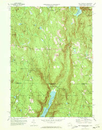 1971 West Granville1973 Print · USGSThe Massachusetts and Connecticut borderlands are captured here in the early 1970s, featuring the expansive waters of the Farmington River Reservoir. Local historians can trace old mountain roads and sites like West Granville, Woodland Cem, and Baird Four Corners.6 unique versions available
 - 1971 Map of Royalston, 1973 Print
 1971 Royalston1973 Print · USGSThe Worcester County highlands are captured here in the early 1970s, showing the distinct settlements of Royalston and South Royalston before modern development. You can trace family history through the Center Cem and Riverside Cem or follow the historic Boston and Maine rail line along the Millers River.5 unique versions available
Showing maps 1-25 of 273
Top cities of Massachusetts
- Boston historical maps
- Worcester historical maps
- Springfield historical maps
- Lowell historical maps
- Cambridge historical maps
- Brockton historical maps
See more
Top counties of Massachusetts
- Middlesex County historical maps
- Worcester County historical maps
- Suffolk County historical maps
- Essex County historical maps
- Norfolk County historical maps
- Bristol County historical maps
See more
Frequently asked questions
- What are the different types of historical maps available for Massachusetts?
- What is the oldest map of Massachusetts?
- Where can I purchase historical maps of Massachusetts for my home or office?
- Where can I download high-res historical maps of Massachusetts?
- Are there historical topographic maps available for Massachusetts?
- Is there historical aerial imagery available for Massachusetts?
- Where are historical maps of Massachusetts sourced from?