2000s (21st Century) Maps of Luce County, Michigan
Explore 160 historic maps of Luce County from the 2000s (21st Century). These maps offer a rare glimpse into what life looked like during the 2000s — showing old roads, neighborhoods, homes, and landmarks that have changed or disappeared over time.
Whether you're researching your family's past, planning a metal detecting trip, or studying how Luce County's landscape evolved across the 2000s, these high-resolution maps are a powerful tool for exploring the history of this region.
- Focus on a specific era: All maps on this page are from the 2000s, giving you a focused view of this time period.
- See what’s changed: Compare century-old streets, trails, and buildings to today's modern landscape using overlays and satellite layers.
- Research with precision: Use these maps for genealogy, historical research, land use analysis, or educational projects.
- View, download, or print: Maps are fully viewable online in high resolution, and can be downloaded or printed for your own records.
Start exploring Luce County's history through authentic maps from the 2000s. This is your window into the past.
Luce County, MI maps
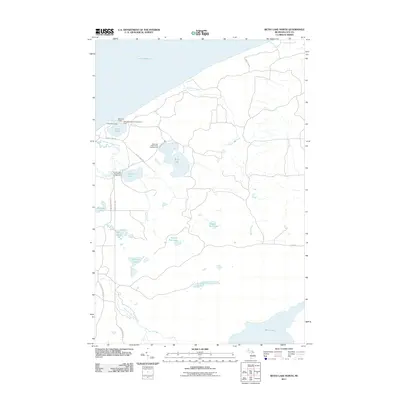
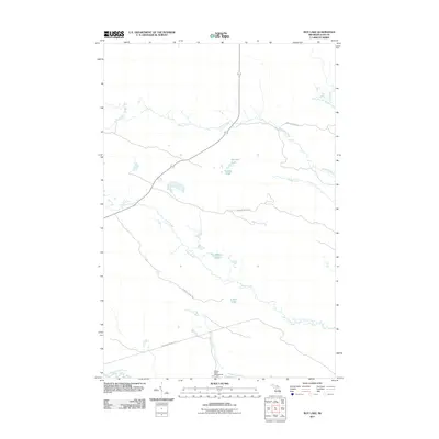
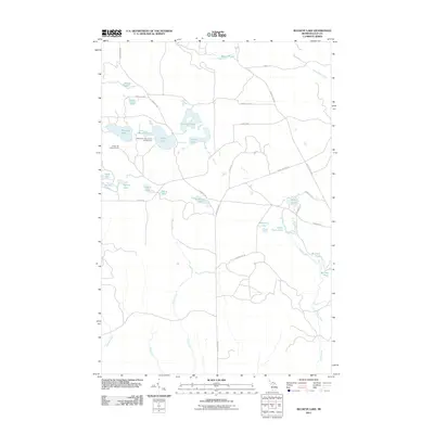
(160)- 2011 Map of Muskallonge Lake SW, 2011 Print
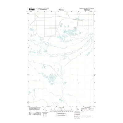 2011 Muskallonge Lake SW2011 Print · USGSCovers Luce County, including Columbus Township, McMillan Township, and other nearby areas
 - 2011 Map of Auger Lake, 2011 Print
 2011 Auger Lake2011 Print · USGSCovers Luce County, including Columbus Township, McMillan Township, and other nearby areas
 - 2011 Map of Muskallonge Lake West, 2011 Print
 2011 Muskallonge Lake West2011 Print · USGSCovers Luce County, including McMillan Township, United States, and other nearby areas
 - 2011 Map of Roberts Corner, 2011 Print
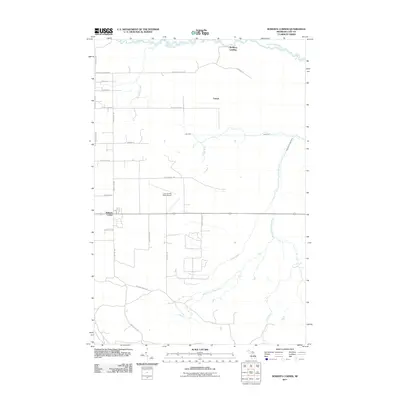 2011 Roberts Corner2011 Print · USGSCovers Luce County, including Newberry, Lencel, and other nearby areas
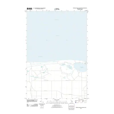
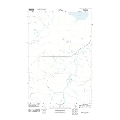
 - 2011 Map of Betsy Lake SW, 2011 Print
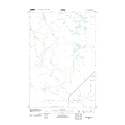 2011 Betsy Lake SW2011 Print · USGSCovers Luce County, including McMillan Township, United States, and other nearby areas
 - 2011 Map of Betsy Lake North, 2011 Print
 2011 Betsy Lake North2011 Print · USGSCovers Luce County, including McMillan Township, United States, and other nearby areas
 - 2011 Map of Betsy Lake NW, 2011 Print
 2011 Betsy Lake NW2011 Print · USGSCovers Luce County, including McMillan Township, United States, and other nearby areas
 - 2011 Map of Muskallonge Lake East, 2011 Print
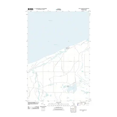
 2011 Muskallonge Lake East2011 Print · USGSCovers Luce County, including McMillan Township, Deer Park, and other nearby areas
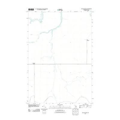
 - 2011 Map of Roy Lake, 2011 Print
 2011 Roy Lake2011 Print · USGSCovers Luce County, including McMillan Township, United States, and other nearby areas
 - 2011 Map of Muskallonge Lake SE, 2011 Print
 2011 Muskallonge Lake SE2011 Print · USGSCovers Luce County, including Columbus Township, Pine Stump Junction, and other nearby areas
 - 2011 Map of Newberry, 2011 Print
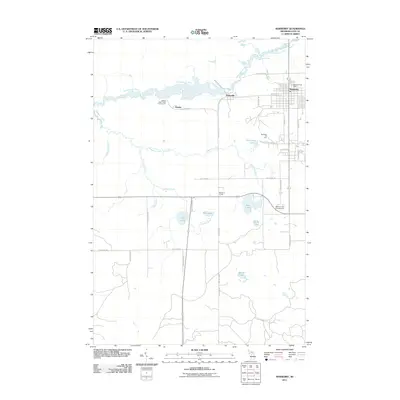 2011 Newberry2011 Print · USGSCovers Luce County, including Newberry, Columbus Township, and other nearby areas
 - 2011 Map of Soo Junction, 2011 Print
 2011 Soo Junction2011 Print · USGSCovers Luce County, including Soo Junction, McMillan Township, and other nearby areas
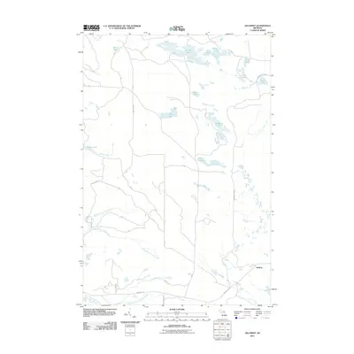
 - 2011 Map of McMillan, 2011 Print
 2011 McMillan2011 Print · USGSCovers Luce County, including McMillan Township, Columbus Township, and other nearby areas
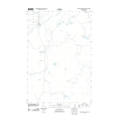
 - 2011 Map of Gimlet Creek, 2011 Print
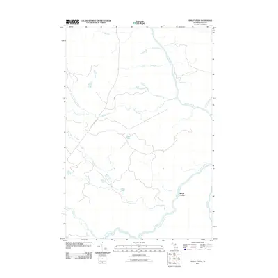 2011 Gimlet Creek2011 Print · USGSCovers Luce County, including Betty B Landing, McMillan Township, and other nearby areas
 - 2011 Map of Millecoquins, 2011 Print
 2011 Millecoquins2011 Print · USGSCovers Luce County, including Newton Township, Garfield Township, and other nearby areas
 - 2011 Map of Rexton, 2011 Print
 2011 Rexton2011 Print · USGSCovers Luce County, including Hendricks Township, Caffey, and other nearby areas
 - 2011 Map of Betsy Lake South, 2011 Print
 2011 Betsy Lake South2011 Print · USGSCovers Luce County, including McMillan Township, United States, and other nearby areas
 - 2011 Map of Gilchrist, 2011 Print
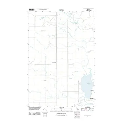
 2011 Gilchrist2011 Print · USGSCovers Luce County, including Garfield Township, Gilchrist, and other nearby areas
 - 2011 Map of Hulbert, 2011 Print
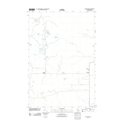
 2011 Hulbert2011 Print · USGSCovers Luce County, including Hulbert, Hulbert Township, and other nearby areas
 - 2011 Map of Betsy Lake North OE N, 2011 Print
 2011 Betsy Lake North OE N2011 Print · USGSCovers Luce County, including McMillan Township, United States, and other nearby areas
 - 2011 Map of Tahquamenon Lakes, 2011 Print
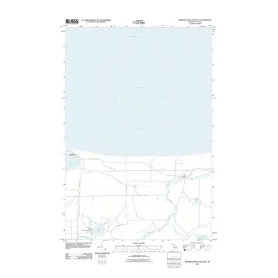
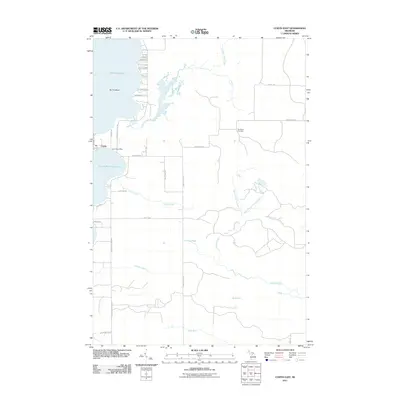
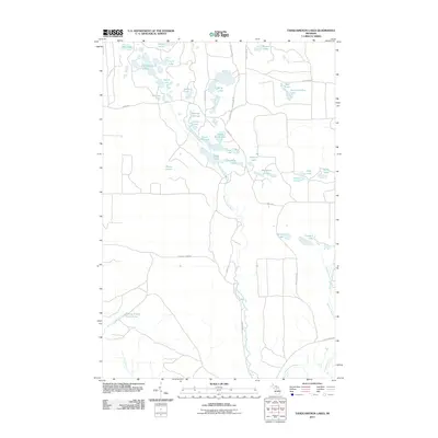 2011 Tahquamenon Lakes2011 Print · USGSCovers Luce County, including Columbus Township, Seney Township, and other nearby areas
 - 2011 Map of Vermilion, 2011 Print
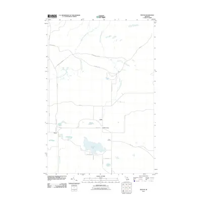
 2011 Vermilion2011 Print · USGSCovers Luce County, including Vermilion, McMillan Township, and other nearby areas
 - 2011 Map of Timberlost, 2011 Print
 2011 Timberlost2011 Print · USGSCovers Luce County, including Whitehouse Landing, Timberlost, and other nearby areas
 - 2011 Map of Buckeye Lake, 2011 Print
 2011 Buckeye Lake2011 Print · USGSCovers Luce County, including Columbus Township, United States, and other nearby areas
 - 2011 Map of Curtis East, 2011 Print
 2011 Curtis East2011 Print · USGSCovers Luce County, including Newton Township, Portage Township, and other nearby areas
Showing maps 1-25 of 160
Frequently asked questions
- What are the different types of historical maps available for Luce County?
- What is the oldest map of Luce County?
- Where can I purchase historical maps of Luce County for my home or office?
- Where can I download high-res historical maps of Luce County?
- Are there historical topographic maps available for Luce County?
- Is there historical aerial imagery available for Luce County?
- Where are historical maps of Luce County sourced from?