2010s Maps of Chippewa County, Minnesota
Explore 100 historic maps of Chippewa County from the 2010s. These maps offer a rare glimpse into what life looked like during the 2010s — showing old roads, neighborhoods, homes, and landmarks that have changed or disappeared over time.
Whether you're researching your family's past, planning a metal detecting trip, or studying how Chippewa County's landscape evolved across the 2010s, these high-resolution maps are a powerful tool for exploring the history of this region.
- Focus on a specific era: All maps on this page are from the 2010s, giving you a focused view of this time period.
- See what’s changed: Compare century-old streets, trails, and buildings to today's modern landscape using overlays and satellite layers.
- Research with precision: Use these maps for genealogy, historical research, land use analysis, or educational projects.
- View, download, or print: Maps are fully viewable online in high resolution, and can be downloaded or printed for your own records.
Start exploring Chippewa County's history through authentic maps from the 2010s. This is your window into the past.
Chippewa County, MN maps
(100)- 2010 Map of Prinsburg, 2010 Print
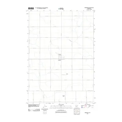 2010 Prinsburg2010 Print · USGSThe rural village of Prinsburg and its surrounding farmsteads are shown here as they appeared in the early twenty-first century. Genealogists and local historians can locate legacy sites like the Old Swedish Lutheran Cemetery and Holland Cemetery.
 - 2010 Map of Montevideo, 2010 Print
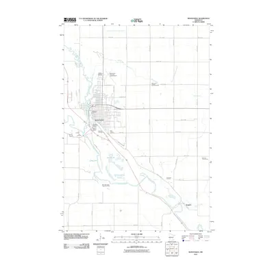 2010 Montevideo2010 Print · USGSThe river valley at Montevideo comes to life in this detailed 2010 survey, showing the city's relationship with the Minnesota River and Chippewa River. Researchers can locate several burial grounds like Saint Joseph Cemetery and trace the layout of Chippewa City Pioneer Village.
 - 2010 Map of Clara City, 2010 Print
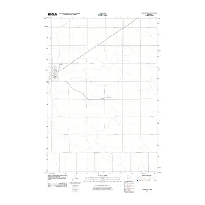 2010 Clara City2010 Print · USGSChippewa County agriculture and small-town life are documented here during the first decade of the millennium. Genealogists and local historians can locate specific landmarks including Bethany Cemetery, the Clara City Post Office, and the rural Bunde community.
 - 2010 Map of Asbury, 2010 Print
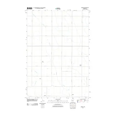 2010 Asbury2010 Print · USGSChippewa County agriculture and local heritage are on display here at the turn of the decade. Genealogists can trace family footprints across several local burial grounds, including Leenthrop Memorial Cemetery and Swensson Cemetery near the settlement of Asbury.
 - 2010 Map of Maynard, 2010 Print
 2010 Maynard2010 Print · USGSChippewa County agriculture and prairie settlements are captured here in the early twenty-first century. Genealogists and local historians can trace the streets of Maynard, find the Maynard Post Office, or locate the Wang Lutheran Church Cemetery.
 - 2010 Map of Clarkfield NE, 2010 Print
 2010 Clarkfield NE2010 Print · USGSLac qui Parle County at the start of the 21st century remains a landscape defined by its river confluences and deep family roots. Genealogists can trace local history through several distinct burial sites like Terrace Lawn Cemetery and the Sommerfeld Family Cemetery.
 - 2010 Map of Hazel Run, 2010 Print
 2010 Hazel Run2010 Print · USGSThe rural landscape of Hazel Run is captured in the early twenty-first century, showing a community defined by its prairie grid and river bends. Family historians can locate Bergen Cemetery, Camp Release Cemetery, and the Hazel Run Post Office among the farm roads.
 - 2010 Map of Minnesota Falls, 2010 Print
 2010 Minnesota Falls2010 Print · USGSThe Minnesota river valley near Granite Falls is shown here at the turn of the twenty-first century, featuring a landscape of established farmsteads and rural parishes. Genealogists can locate several burial grounds including Vestre Sogn Lutheran Cemetery and Hawk Creek Lutheran Church Cemetery.
 - 2010 Map of Gracelock SW, 2010 Print
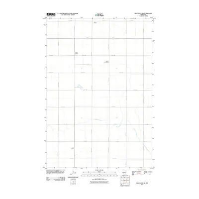 2010 Gracelock SW2010 Print · USGSChippewa County’s agricultural heartland is documented here in the early twenty-first century, showing a landscape defined by prairie section roads and historic rural congregations. Genealogists can locate family burial sites at Original Big Bend Cemetery and Mandt Cemetery along the banks of Dry Weather Creek.
 - 2010 Map of Watson, 2010 Print
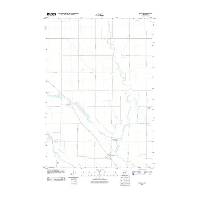 2010 Watson2010 Print · USGSChippewa County agriculture and water engineering meet in this 2010 study of the Watson area. Researchers can trace local heritage through the Watson Post Office, Zion Cemetery, and the complex river management systems at the Lac Qui Parle Dam.
 - 2010 Map of Gracelock NW, 2010 Print
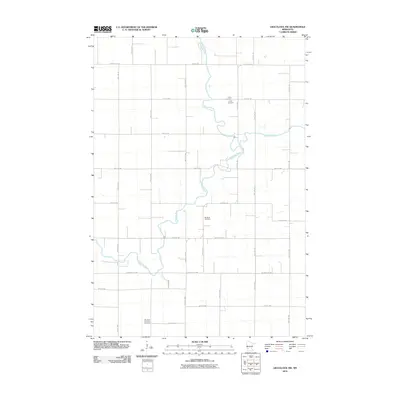 2010 Gracelock NW2010 Print · USGSChippewa County agriculture and river life are recorded here in the early twenty-first century as the landscape follows its long-established section lines. Researchers can locate family sites and local landmarks like Trinity Cemetery and Big Bend Lutheran Cemetery.
 - 2010 Map of Gracelock, 2010 Print
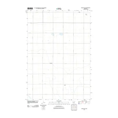 2010 Gracelock2010 Print · USGSGracelock and the surrounding Chippewa County farmland are mapped here during the first decade of the 2000s. Genealogists and local historians can pinpoint family sites and burial grounds like Hillside Cemetery, Havelock Cemetery, and Buffalo Lake Cemetery.
 - 2010 Map of Kerkhoven SE, 2010 Print
 2010 Kerkhoven SE2010 Print · USGSAgricultural patterns in Chippewa County are captured here just after the turn of the millennium. Genealogists and local historians can trace family land ties near Sacred Heart Cemetery or follow the natural course of Hawk Creek.
 - 2010 Map of Milan, 2010 Print
 2010 Milan2010 Print · USGSChippewa County agriculture and the winding Minnesota River valley come together at the start of the twenty-first century. Genealogists and local historians can locate the Kviteseid Cemetery, the Milan Post Office, and the broad wetlands of the Watson Sag.
 - 2010 Map of Milan NW, 2010 Print
 2010 Milan NW2010 Print · USGSHolloway and the surrounding prairie of Swift County are captured here at the start of the 2010s. Researchers can locate specific family plots at Saint Josephs Cemetery or trace the rural landscape along the Pomme de Terre River and Home-Base Airport.
 - 2010 Map of Kerkhoven SW, 2010 Print
 2010 Kerkhoven SW2010 Print · USGSLouriston and its surrounding townships are captured in this 2010 survey of Chippewa County's rural heartland. Genealogists and local historians can locate early family burial sites at Swedish Lutheran Cemetery and the Louriston Township Cemetery.
 - 2010 Map of Raymond, 2010 Print
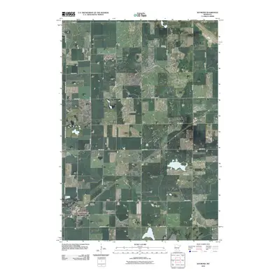 2010 Raymond2010 Print · USGSKandiyohi County was firmly established as a productive agricultural grid by the early twenty-first century. Researchers can locate family plots at Fairview Cemetery and Saint John's Lutheran Cemetery or trace the rural route between Raymond and Priam.
 - 2010 Map of Pennock, 2010 Print
 2010 Pennock2010 Print · USGSPennock and the surrounding Kandiyohi County prairie are shown here during the early twenty-first century as an established agricultural and lakeside community. Researchers can locate family heritage sites like Mamrelund Lutheran Cemetery, Salem Cemetery, and the Pennock Post Office.
 - 2010 Map of Big Bend City, 2010 Print
 2010 Big Bend City2010 Print · USGSWestern Minnesota farmland near the start of the millennium is defined by the winding Chippewa River and its rural settlements. Genealogists and local historians can trace the grid of section roads to reach Big Bend City, Hagan, and the West Bank Cemetery.
 - 2010 Map of Kerkhoven, 2010 Print
 2010 Kerkhoven2010 Print · USGSKerkhoven and the surrounding Swift County prairies are captured here during a period of modern agricultural stability. Researchers can locate family plots at Hillside Cemetery and West Salem Cemetery or trace the drainage of Shakopee Creek through the rural sections.
 - 2010 Map of Murdock, 2010 Print
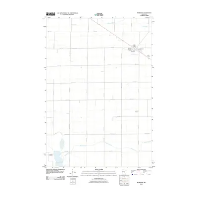 2010 Murdock2010 Print · USGSMurdock and the surrounding Swift County farmlands are captured here during the first decade of the 2000s. Researchers can trace local history through sites like Sacred Heart Cemetery, the Murdock Post Office, and the waters of Shakopee Lake.
 - 2010 Map of Appleton, 2010 Print
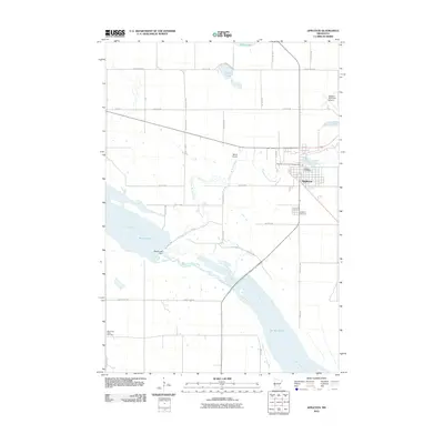 2010 Appleton2010 Print · USGSAppleton and the surrounding river valleys are captured here in the first decade of the millennium. Researchers can trace the winding Pomme de Terre River and locate local landmarks like the Appleton Cemetery, Marsh Lake Dam, and the Minnesota Valley Cemetery.
 - 2010 Map of Cerro Gordo, 2010 Print
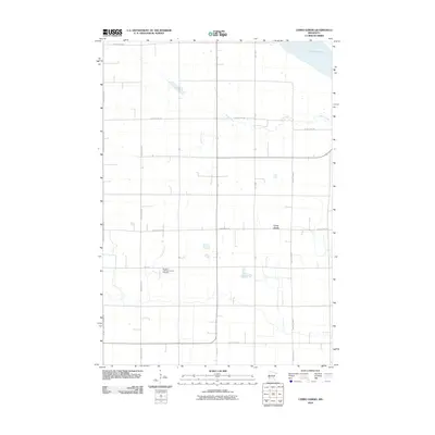 2010 Cerro Gordo2010 Print · USGSLac qui Parle County at the start of the 2010s remains a quiet landscape of agricultural sections and river valley overlooks. Genealogists and historians can trace family roots at the Borgund Lutheran Church Cemetery or explore the drainage of Emily Creek near Cerro Gordo.
 - 2010 Map of Granite Falls, 2010 Print
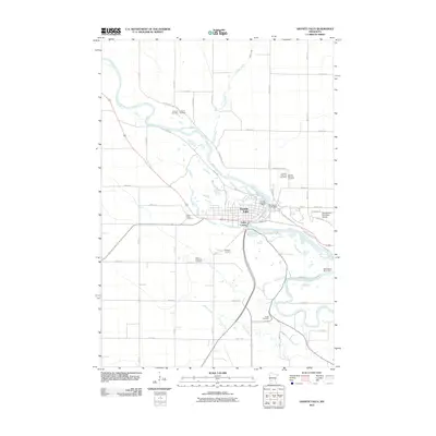 2010 Granite Falls2010 Print · USGSGranite Falls at the start of the 2010s reveals a community deeply tied to the bends of the Minnesota River. Genealogists can trace family history across half a dozen local sites, from Union Cemetery to the Saint Andrews Cemetery, while mapping the area's river-driven growth near the Minnesota River Dam.
 - 2010 Map of Gracelock NE, 2010 Print
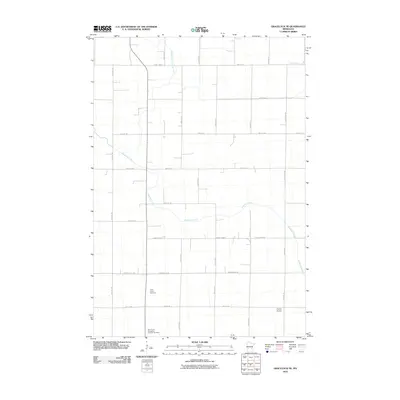 2010 Gracelock NE2010 Print · USGSThis Chippewa County landscape in the early twenty-first century showcases a traditional Minnesota agricultural grid bisected by Shakopee Creek. Genealogists and local historians can locate Saint John's Cemetery and the Saint Paul's Evangelical Lutheran Cemetery among the rural section roads.
Showing maps 1-25 of 100
Top cities of Chippewa County
- Montevideo historical maps
- Clara City historical maps
- Maynard historical maps
- Milan historical maps
- Louriston historical maps
- Watson historical maps
Frequently asked questions
- What are the different types of historical maps available for Chippewa County?
- What is the oldest map of Chippewa County?
- Where can I purchase historical maps of Chippewa County for my home or office?
- Where can I download high-res historical maps of Chippewa County?
- Are there historical topographic maps available for Chippewa County?
- Is there historical aerial imagery available for Chippewa County?
- Where are historical maps of Chippewa County sourced from?