2010s Maps of Lake No. 2, Minnesota
Explore 56 historic maps of Lake No. 2 from the 2010s. These maps offer a rare glimpse into what life looked like during the 2010s — showing old roads, neighborhoods, homes, and landmarks that have changed or disappeared over time.
Whether you're researching your family's past, planning a metal detecting trip, or studying how Lake No. 2's landscape evolved across the 2010s, these high-resolution maps are a powerful tool for exploring the history of this region.
- Focus on a specific era: All maps on this page are from the 2010s, giving you a focused view of this time period.
- See what’s changed: Compare century-old streets, trails, and buildings to today's modern landscape using overlays and satellite layers.
- Research with precision: Use these maps for genealogy, historical research, land use analysis, or educational projects.
- View, download, or print: Maps are fully viewable online in high resolution, and can be downloaded or printed for your own records.
Start exploring Lake No. 2's history through authentic maps from the 2010s. This is your window into the past.
Lake No. 2, MN maps
(56)- 2010 Map of Two Harbors, 2010 Print
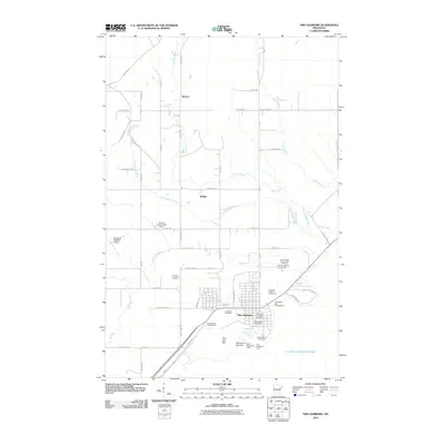 2010 Two Harbors2010 Print · USGSThe North Shore of Lake Superior comes into focus in the early twenty-first century, centered on the busy port of Two Harbors. Local historians can trace the town's maritime heritage through the Two Harbors Lighthouse or locate family roots at Lakeview Cemetery and Stewart.
 - 2010 Map of Highland, 2010 Print
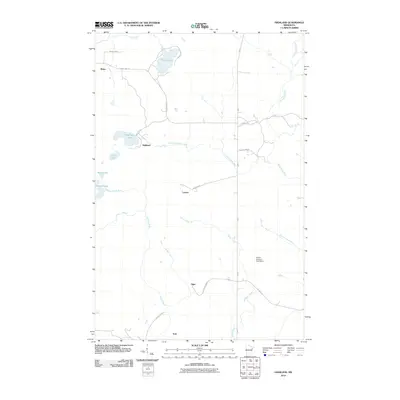 2010 Highland2010 Print · USGSThe Lake County interior was a network of small settlements and river headwaters in the early 2000s. Genealogists can trace family locations near Highland, Wales, and Alger, or locate landmarks like the Edwin Hansen Pond Dam and the winding Stewart River.
 - 2010 Map of McCarthy Creek, 2010 Print
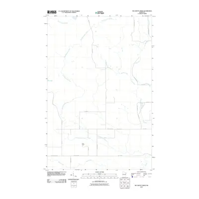 2010 McCarthy Creek2010 Print · USGSSaint Louis County is documented here in the early twenty-first century as a landscape of timber-industry history and river networks. You can trace the path of the Drummond Grade or locate the Molde Lookout Tower near Captain Jacobson Creek.
 - 2010 Map of King Lake, 2010 Print
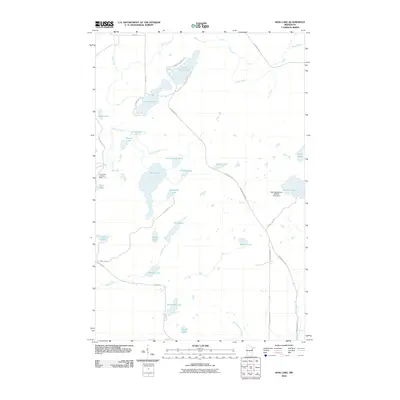 2010 King Lake2010 Print · USGSSaint Louis County is documented here in the early twenty-first century, showing a landscape defined by its many lakes and Northwoods drainage basins. Researchers can trace the path of the Drummond Grade and locate features like the Pequaywan Lookout Tower and Sawmill Lake.
 - 2010 Map of Knife River, 2010 Print
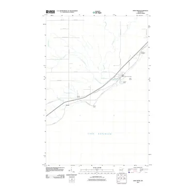 2010 Knife River2010 Print · USGSThe North Shore of Lake Superior comes into focus in the early twenty-first century as the drainage of the Knife River meets the coast. Researchers can trace the layout of Palmers, locate the Lake View Cemetery, and see the site of the Knife River Post Office.
 - 2010 Map of Two Harbors OE S, 2010 Print
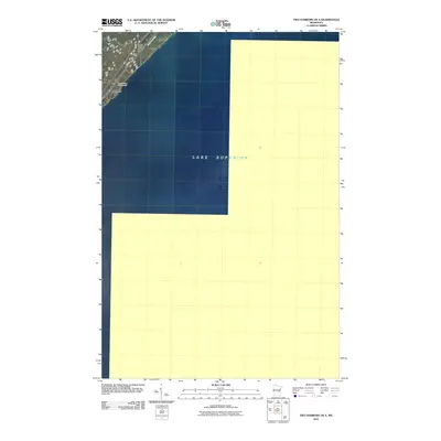 2010 Two Harbors OE S2010 Print · USGSThe North Shore of Minnesota meets the expanse of the Great Lakes in the early twenty-first century. Researchers can trace the coastal corridor through Larsmont, noting the placement of the Wagon Wheel Campground and the route of Hwy 61.
 - 2011 Map of Mount Weber, 2011 Print
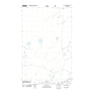 2011 Mount Weber2011 Print · USGSLake County's north woods are captured here in the early twenty-first century, showing a landscape defined by glacial lakes and remote forest roads. Researchers can trace the drainage of South Greenwood Creek or locate landmarks like Mount Weber and the settlement of Jordan.
 - 2011 Map of Slate Lake West, 2011 Print
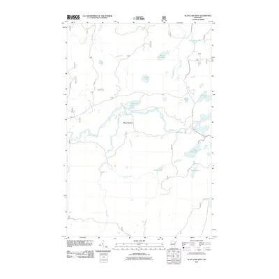 2011 Slate Lake West2011 Print · USGSLake County's remote backcountry is mapped in the early twenty-first century, showcasing a landscape defined by the Stony River and its surrounding wetlands. Researchers can trace forest access routes like the Kelly Trl and Dunka Lk Rd to landmarks like Happy Wanderer and West Chub Lake.
 - 2011 Map of Toimi, 2011 Print
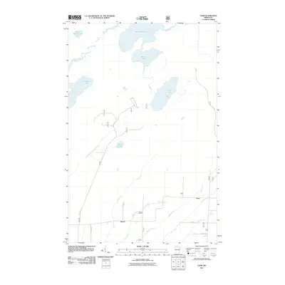 2011 Toimi2011 Print · USGSThe northern lake country of Saint Louis County is documented here in the early twenty-first century. Genealogists and local historians can trace the community of Bassett and Toimi, alongside family landmarks like the Bassett Cemetery and Tikkanen Rd.
 - 2011 Map of Babbitt NE, 2011 Print
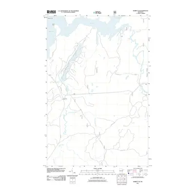 2011 Babbitt NE2011 Print · USGSThe Superior National Forest interior near Babbitt is captured here in the early twenty-first century as a landscape of timber camps and winding waterways. Researchers can trace forest access routes like Mattila Rd to landmarks such as Tomahawk Camp and the banks of Twenty Proof Creek.
 - 2011 Map of Babbitt SE, 2011 Print
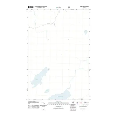 2011 Babbitt SE2011 Print · USGSBabbitt SE in the early 2010s shows a remote Minnesota wilderness dominated by expansive glacial water systems and forestry routes. Trace the winding paths of the North River and Dunka River, or locate the shores of Seven Beaver Lake and Big Lake.
 - 2011 Map of Greenwood Lake West, 2011 Print
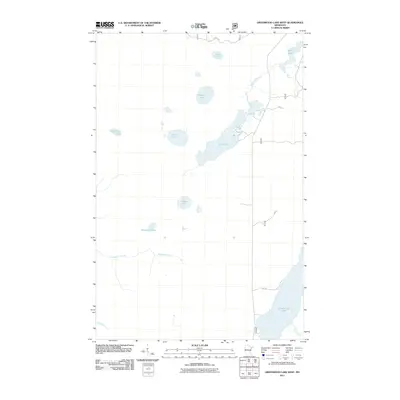 2011 Greenwood Lake West2011 Print · USGSLake County, Minnesota, is captured here in the early twenty-first century, showing a wilderness of water and forest. Researchers can trace the winding paths of the VE Trl and Dunka Lk Rd as they navigate between Greenwood Lake and Sand Lake.
 - 2011 Map of Kane Lake, 2011 Print
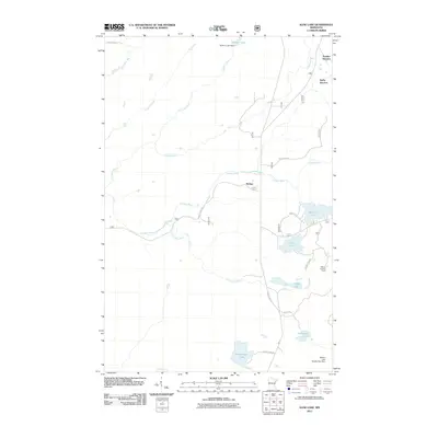 2011 Kane Lake2011 Print · USGSLake County's interior forest and river systems are documented here during the early twenty-first century. Researchers can trace the water network from Sullivan Lake to Kane Lake and locate forestry landmarks like the Marble Lookout Tower and McNair.
 - 2011 Map of Brimson, 2011 Print
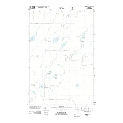 2011 Brimson2011 Print · USGSBrimson and the surrounding lakelands are shown here in the early twenty-first century, before changes in forest management and rural infrastructure. Researchers can locate family landmarks like the Brimson Cemetery, the Brimson Post Office, and the Camp FE House.
 - 2013 Map of King Lake, 2013 Print
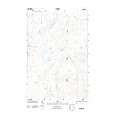 2013 King Lake2013 Print · USGSUpper Minnesota lake country is meticulously documented in the early twenty-first century, showcasing the wetland networks of Ault Township. Researchers can trace the timber and transit history of the region via the Drummond Grade or locate landmarks like the Pequaywan Lookout Tower and Stone Lake.
 - 2013 Map of Highland, 2013 Print
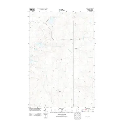 2013 Highland2013 Print · USGSSilver Creek Township at the start of the 2010s reveals a highland landscape shaped by the headwaters of several major North Shore rivers. Researchers can trace small communities like Highland, Wales, and Alger alongside the winding Stewart River.
 - 2013 Map of McCarthy Creek, 2013 Print
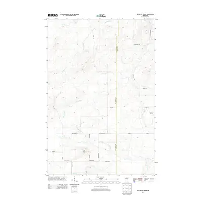 2013 McCarthy Creek2013 Print · USGSThe northern forests of St. Louis and Lake counties are mapped here in the early twenty-first century, showing a landscape defined by the Knife River system. Local researchers can trace family-named routes like Mikkenen Rd and locate the Molde Lookout Tower.
 - 2013 Map of Two Harbors OE S, 2013 Print
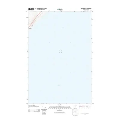 2013 Two Harbors OE S2013 Print · USGSThe North Shore of Minnesota meets the water in the early twenty-first century, showing the small coastal footprint of Lake County. Local historians can trace the settlement at Larsmont and recreation sites like the Wagon Wheel Campground along the MN-61 corridor.
 - 2013 Map of Knife River, 2013 Print
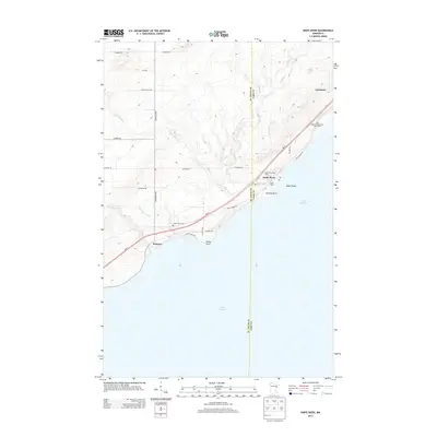 2013 Knife River2013 Print · USGSThe North Shore of Lake Superior comes into focus in this early twenty-first-century survey of the rugged Minnesota coast. Researchers can trace local heritage and geography through the settlements of Knife River and Palmers, or locate landmarks like Lake View Cemetery and Granite Point.
 - 2013 Map of Brimson, 2013 Print
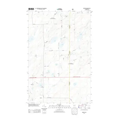 2013 Brimson2013 Print · USGSNortheastern Minnesota's timberlands and lake country are captured here in the early twenty-first century as the area serves as a gateway to the north woods. Researchers can locate family landmarks like Brimson Cem, the settlement at Rollins, and Indian Lake Campground.
 - 2013 Map of Two Harbors, 2013 Print
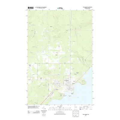 2013 Two Harbors2013 Print · USGSThe North Shore of Lake Superior comes alive in this modern survey of the Lake County coast. Researchers can trace the maritime history of Two Harbors through landmarks like the Two Harbors Lighthouse and the rural roads connecting Waldo and Stewart.
 - 2013 Map of Kane Lake, 2013 Print
 2013 Kane Lake2013 Print · USGSLake County, Minnesota, remains a landscape of deep timber and winding waterways in the early twenty-first century. Researchers can locate remote rail points like Norshor Junction and McNair or trace the drainage of the Cloquet River and Sullivan Lake.
 - 2013 Map of Greenwood Lake West, 2013 Print
 2013 Greenwood Lake West2013 Print · USGSSuperior National Forest's deep wilderness character is documented in this early twenty-first-century survey of the Minnesota Arrowhead. Researchers can trace the remote drainage of the Sand River and identify secluded water bodies like Lobo Lake and Fools Lake.
 - 2013 Map of Slate Lake West, 2013 Print
 2013 Slate Lake West2013 Print · USGSThe Iron Range backcountry of Lake County is shown here in the early twenty-first century, a landscape defined by the Superior National Forest. Researchers can trace remote forest access via Kelly Trl or locate secluded waters like Slate Lake and Pitcha Lake.
 - 2013 Map of Mount Weber, 2013 Print
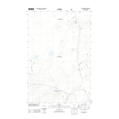 2013 Mount Weber2013 Print · USGSSuperior National Forest in the early twenty-first century remains a vast wilderness of interconnected glacial waterways. Local historians and outdoor enthusiasts can trace the old routes of Co Hwy 15 and Whyte Rd toward Mount Weber and Greenwood Lake.
Showing maps 1-25 of 56
Top cities near Lake No. 2
Top neighborhoods of Lake No. 2
- Stewart historical maps
- Waldo historical maps
- McNair historical maps
- Wales historical maps
- Knife River historical maps
- Highland historical maps
See more
Frequently asked questions
- What are the different types of historical maps available for Lake No. 2?
- What is the oldest map of Lake No. 2?
- Where can I purchase historical maps of Lake No. 2 for my home or office?
- Where can I download high-res historical maps of Lake No. 2?
- Are there historical topographic maps available for Lake No. 2?
- Is there historical aerial imagery available for Lake No. 2?
- Where are historical maps of Lake No. 2 sourced from?